Flower Ridge hike
View Photos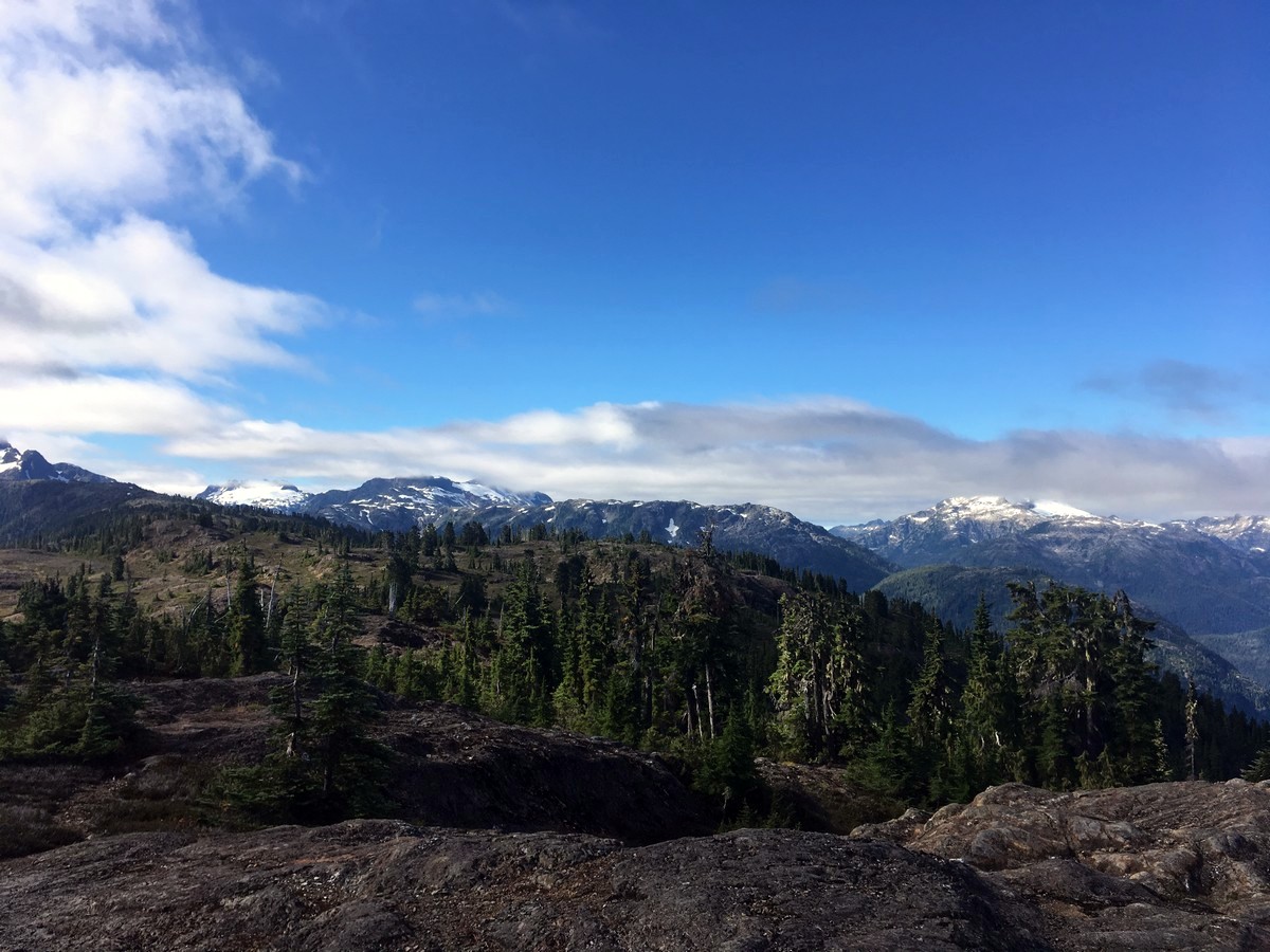
Flower Ridge hike
Difficulty Rating:
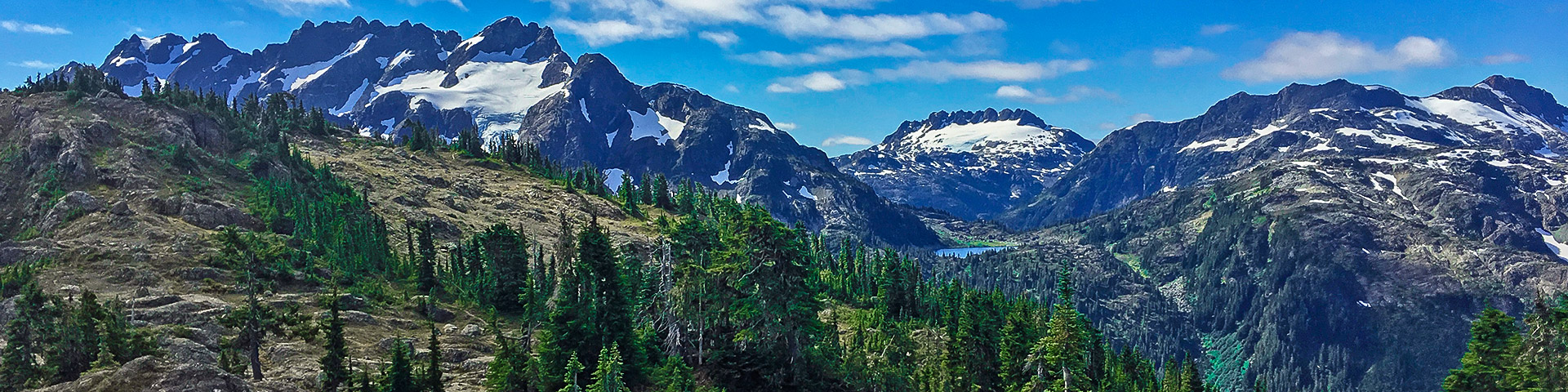
The Flower Ridge hike starts with an arduous climb up the first half of the route. This hike then leads to a stunning, flower studded alpine ridge with fantastic views into the south end of Strathcona Provincial Park. The traverse of Flower Ridge is filled with views of the most striking peaks on Vancouver Island, including a picture-perfect view of Nine Peaks across Cream Lake.
Getting there
From Campbell River head west along BC 28 towards Gold River for 29.4mi. Roughly 4.0mi past the entrance to Strathcona Park you will reach a junction where you will continue straight towards Westin Mines, along Westmin Rd. Follow this windy road as it contours along Buttle Lake for just under 18.6mi. A short way past the Ralph River campground you will see signs for the Flower Ridge trail on the left. Park in the ample dirt pullout.

About
| When to do | July - September |
| Backcountry Campsites | Several Camping opportunities along the ridge |
| Toilets | No |
| Family friendly | No |
| Route Signage | Poor |
| Crowd Levels | Low to Moderate |
| Route Type | Out and back |
Flower Ridge
Elevation Graph
Weather
Route Description for Flower Ridge
From the parking area look out to the highway and see a sign pointing to the left (south) with “Flower Ridge Trail”. Cross the bridge over Henshaw Creek then find the trailhead to your left.
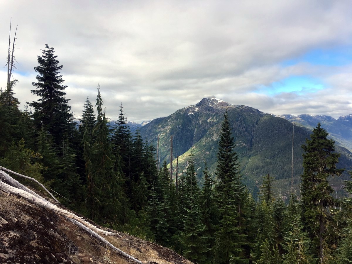
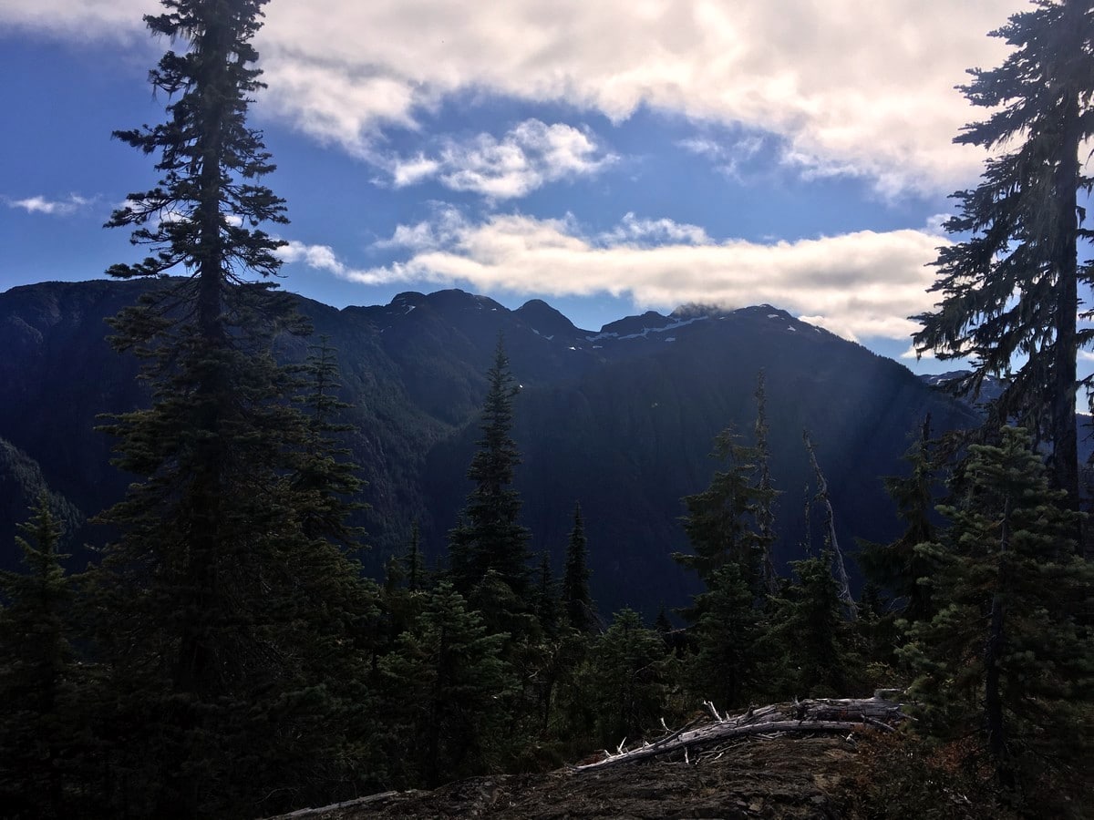
Over the initial 3.7mi of the Flower Ridge trail (roughly half of the way out) you will gain over 3281ft. This is along a well-maintained BC Parks trail, which has a number of well graded switchbacks. You will have several sporadic views along the way, typically to the west looking at the east aspect of Mt Myra.
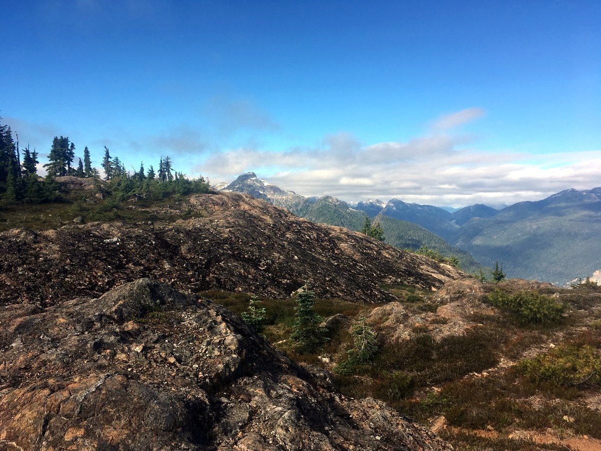
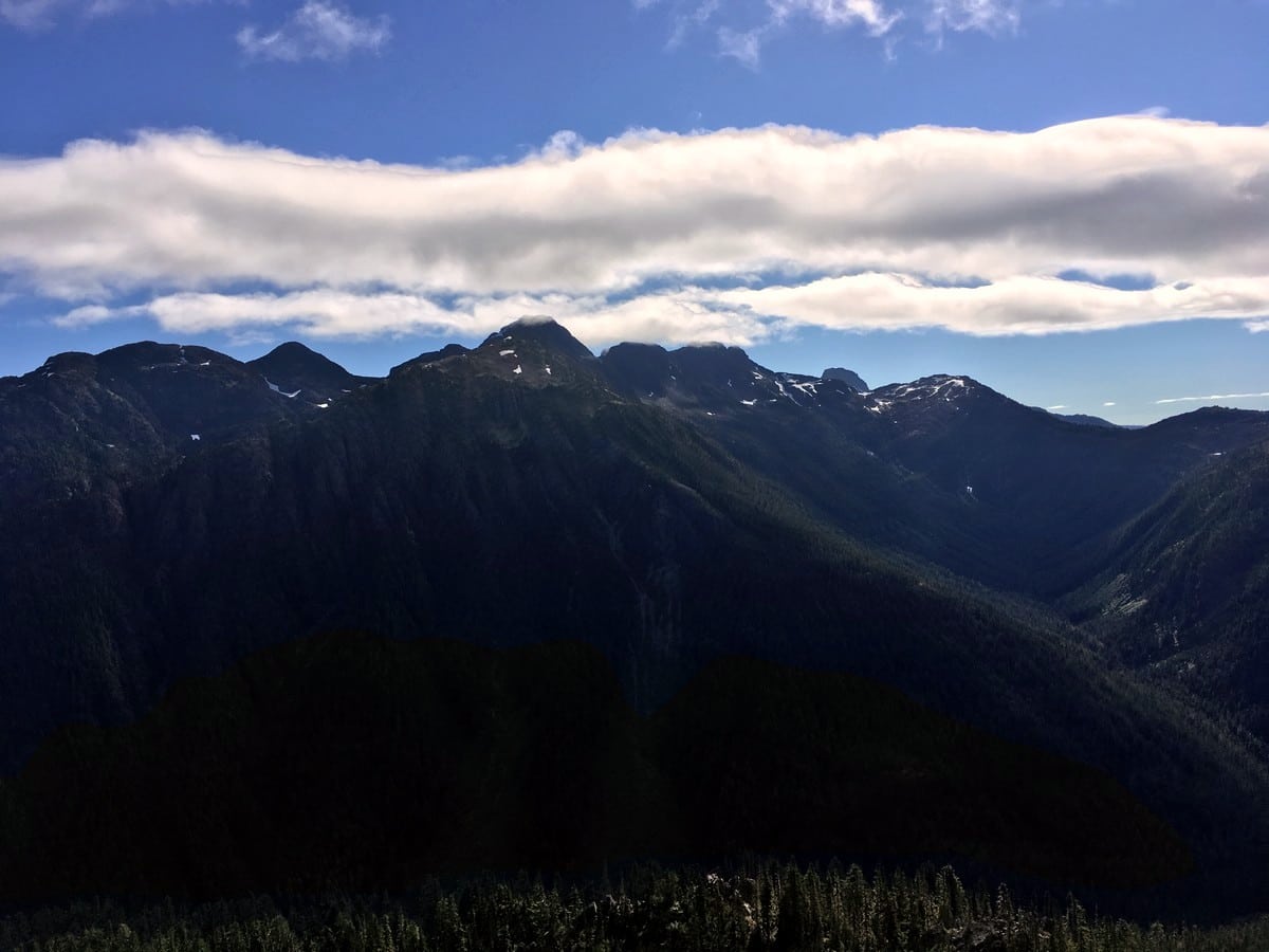
Finally, after several false lips you will crest Flower Ridge and emerge from the trees. Beyond Myra, you will get views to the east looking at the mountains surrounding the Comox Glacier. More to the Northeast you can even see the tip of Albert Edward (another hike on this list) poking its head out.
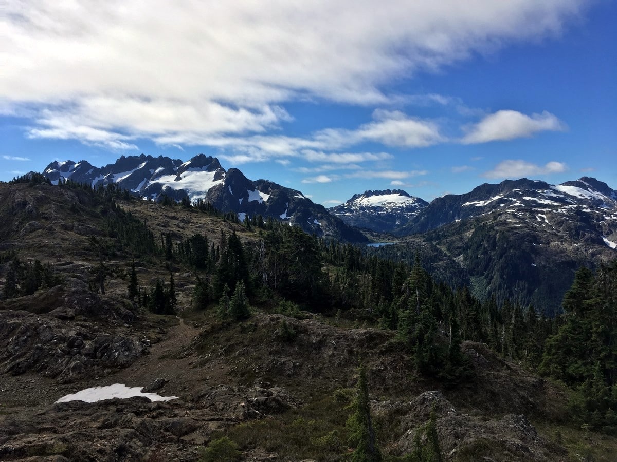
Continue hiking along Flower Ridge for another 3.7mi, with the trail undulating up and down. The trail is at times hard to follow since the route along the ridge is not maintained by BC Parks. However simple intuition and watching out for cairns usually does the trick just fine.
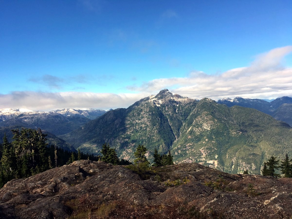
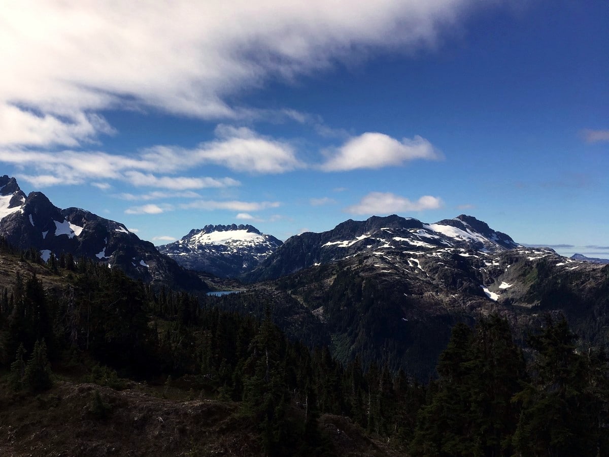
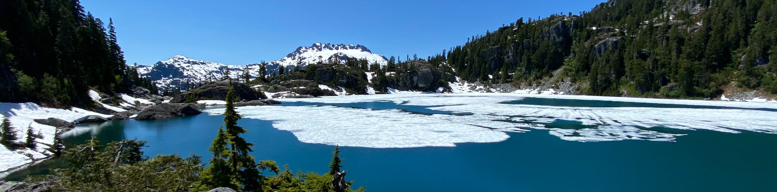
As you progress south along Flower Ridge you will get some fantastic views of Mt Septimus and Rousseau directly to the south. Looming over Flower Ridge, these mountains provide a stunning ambiance. At the end of Flower Ridge, you can look down to the southwest across Cream Lake at the picturesque Nine Peaks in the distance, in between Septimus and Big Interior Mountain.
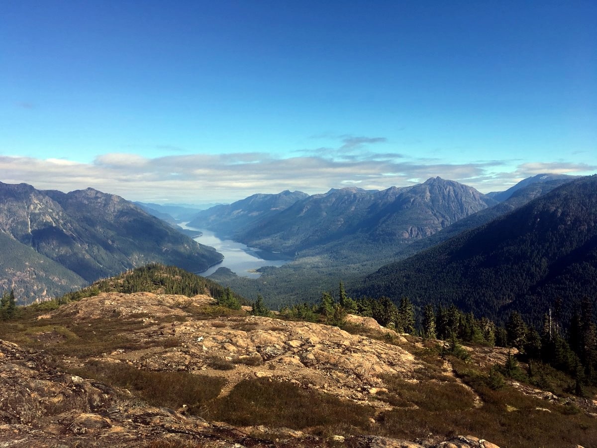
There is no official end to the Flower Ridge Trail, however BC Parks claims it ends after approximately 7.1mi. Simply find a good spot to sit with the classic view of Nine Peaks and call it a day! Then return the way you came.
Hiking Flower Ridge in 2024
If you’re hiking the Flower Ridge Trail in Strathcona Provincial Park you should be prepared for variable conditions, including potential for sun exposure and limited water sources along the ridge, especially in summer. For those planning a hike, it’s advisable to check the latest weather forecasts and trail conditions before heading out.
Insider Hints
There is very limited water along this trail, only a few somewhat dirty tarns along the ridge. Bring enough for the long slog up!

Similar hikes to the Flower Ridge hike
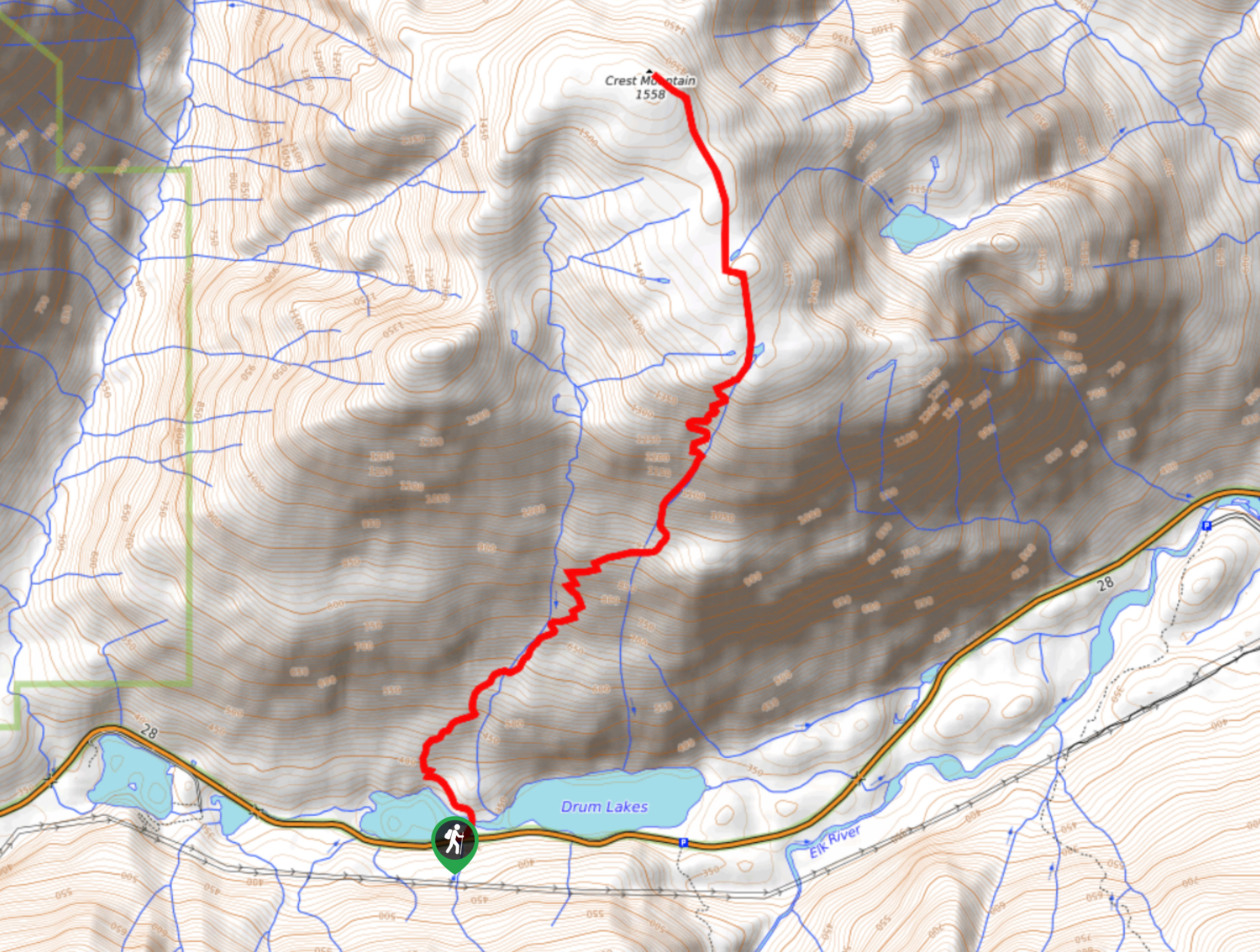
Crest Mountain Trail
The Crest Mountain Trail is an 7.1mi out-and-back hiking route in Strathcona Provincial Park that climbs up a…
Comox Glacier
The Comox Glacier Trail is a difficult 11.2mi out-and-back trail that climbs steeply uphill to traverse the glacier…
Love Lake Trail
The Love Lake Trail is a 3.3mi out-and-back hiking route in Strathcona Provincial Park that can only be…
YukihiroSato 4 years ago
The road less traveled by is the road worth remembering. Arigato!
Hiking-eh 4 years ago
Summit view is stunning!
matsuomako 4 years ago
Lots to see. Wish I had seen some wildlife.
Peter Wilson 4 years ago
Oh god. My legs. Wow. This is no joke, no siree. Yes, it's worth it. Yes, it's going to hurt.
Brandon Houston 4 years ago
The scenic views were incredible. Worth all the challenge and sweat!
Rowan Sanders 4 years ago
You will see spring wildflowers, panoramic views and Alpine lakes. Flower Ridge is gorgeous in it's own.
SophieM. 4 years ago
Stunning! One of the most challenging yet rewarding hike so far.
Tara Green 4 years ago
It was a hard challenge but it worth it because of the great views and scenery
Meighan 4 years ago
The trail terrain was amazing - not too full or foots or too rocky. The trail is steep which makes the hike difficult but it was worth it because of the picturesque view and scenery.
Olivia P. 4 years ago
’ll be back one day - absolutely stunning!