West Side Railroad Trail
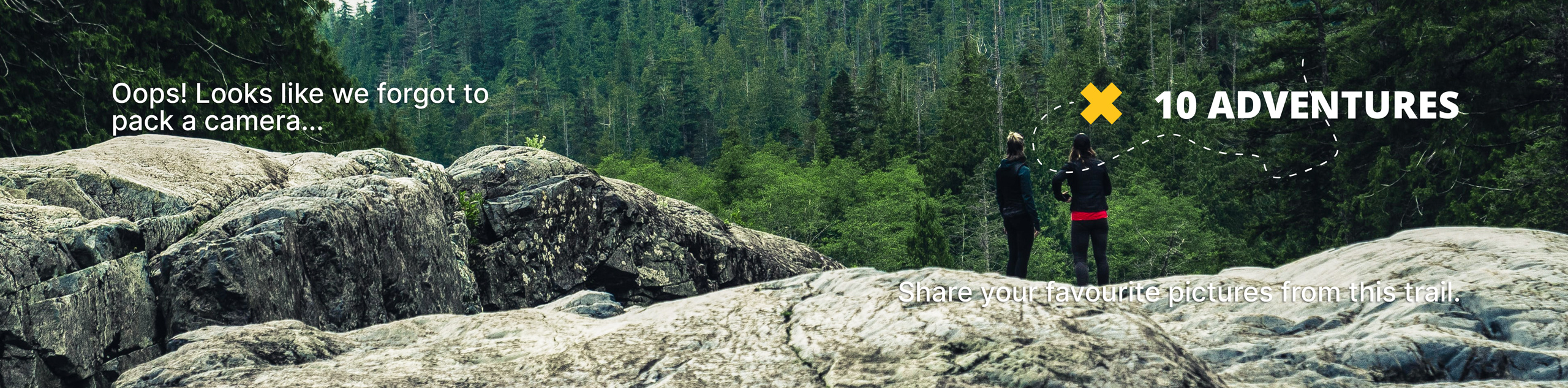
View Photos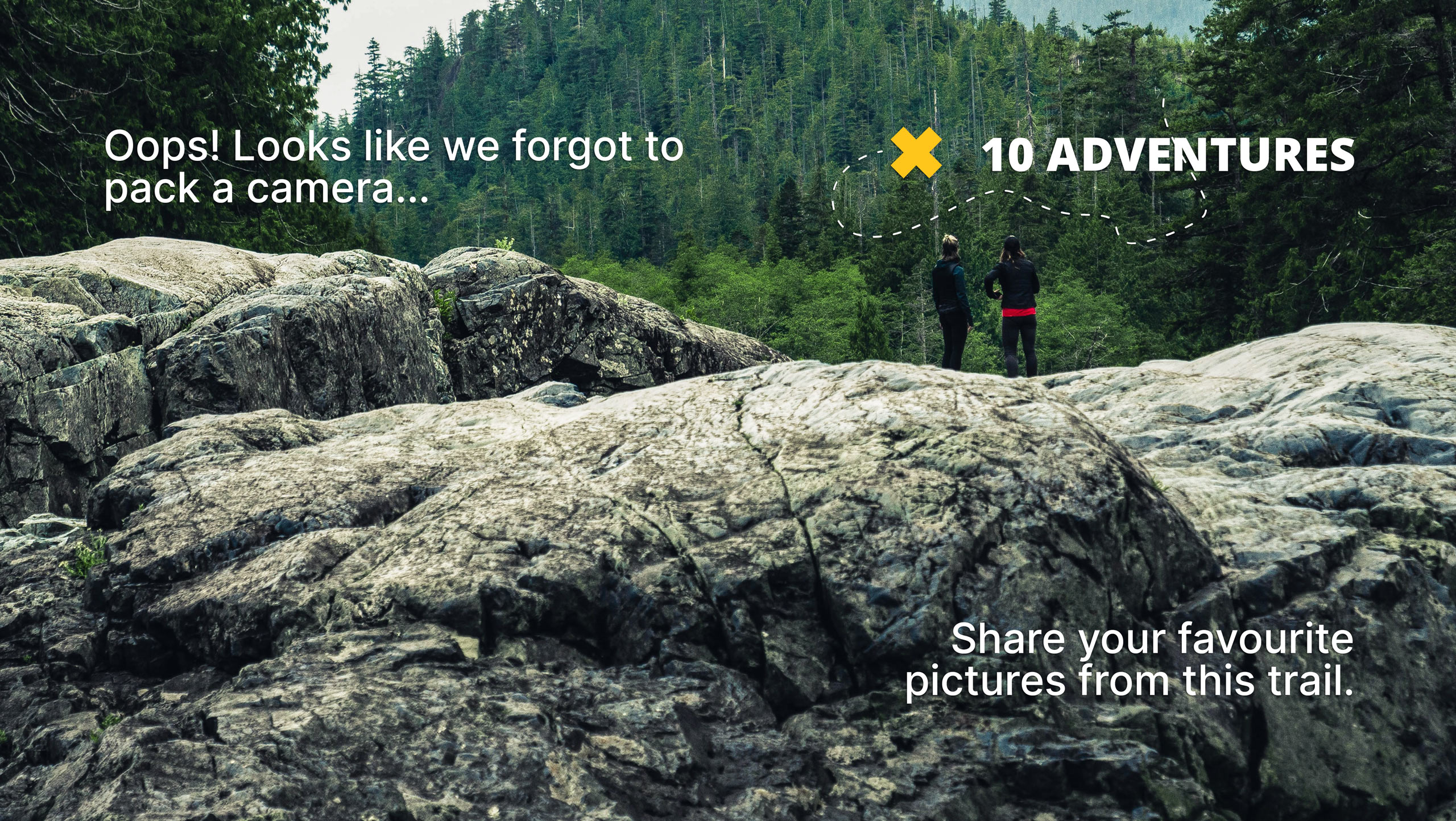
West Side Railroad Trail
Difficulty Rating:
The West Side Railroad Trail would be an excellent addition to your Stanislaus National Forest itinerary. Manageable for hikers of all skill levels and partially accessible to wheelchairs and strollers, this trek can be enjoyed by all! What are you waiting for? Let’s go!
Getting there
Your adventure along the West Side Railroad Trail begins from the trailhead off Mira Monte Road.

About
| Backcountry Campground | No |
| When to do | Year-round |
| Pets allowed | Yes - On Leash |
| Family friendly | Older Children only |
| Route Signage | Average |
| Crowd Levels | Moderate |
| Route Type | Out and back |
West Side Railroad Trail
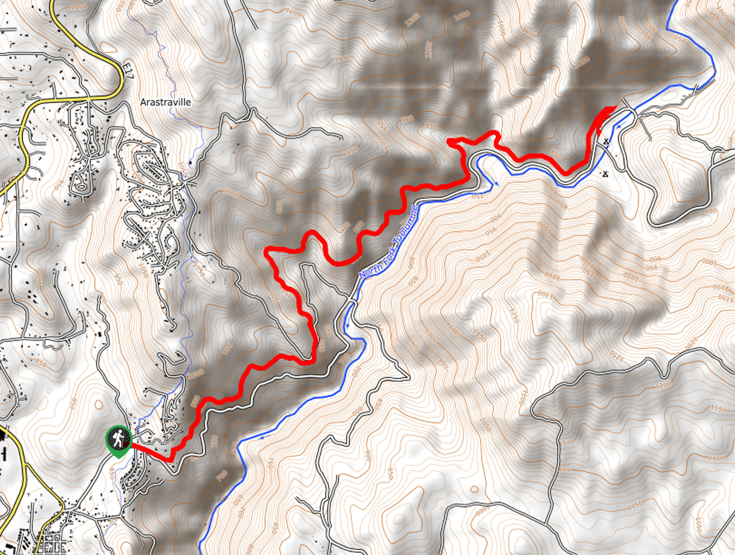
Elevation Graph
Weather
West Side Railroad Trail Description
Travel along the same route that used to be used for logging trains years ago. The West Side Railroad Trail wanders along an undulating path, winding along the mountainside through the North Fork Tuolumne River. This accessible route can be enjoyed by hikers of all skill levels and horseback riders and bikers alike. This is a revered route, so arrive early to beat the crowds! Additionally, the path is almost entirely exposed, so wear sun protection to avoid overexposure. Note several sections of the trail remain decorated by the old rails, so mind your footing!
Setting out from the trailhead, the West Side Railroad Trail travels east along the mountainside. Maneuver the narrow path, enjoying the sights of the running river below and the adjacent cliffside. Now hiking northeast, the undulating path will guide you down a gentle decline, further into the river valley. As you wander, it is important to be mindful of passers-by! Gradually descending, you will ultimately reach the route’s end at the intersection with Forest Route 1N04.
Here you will be afforded up close and personal views of the Tuolumne River. Revel in the scene of the canyon, and when you are ready, retrace your footing along the path back to the trailhead.
Similar hikes to the West Side Railroad Trail hike

Folger Peak Hike
The Folger Peak Hike is an awesome adventure that boasts 360-degree, panoramic vistas of the high country. This wonderful adventure…
Long Gulch Ridge Loop
Adventure the Long Gulch Ridge Loop for an exciting, scenic experience in the Stanislaus National Forest. This shared route travels…

Eagle Meadow Hike
Hiking the Eagle Meadow Trail makes for a unique experience. Hike amongst equestrians through the expansive meadowlands along Eagle Creek…
Comments