Southease to Eastbourne Walk
View Photos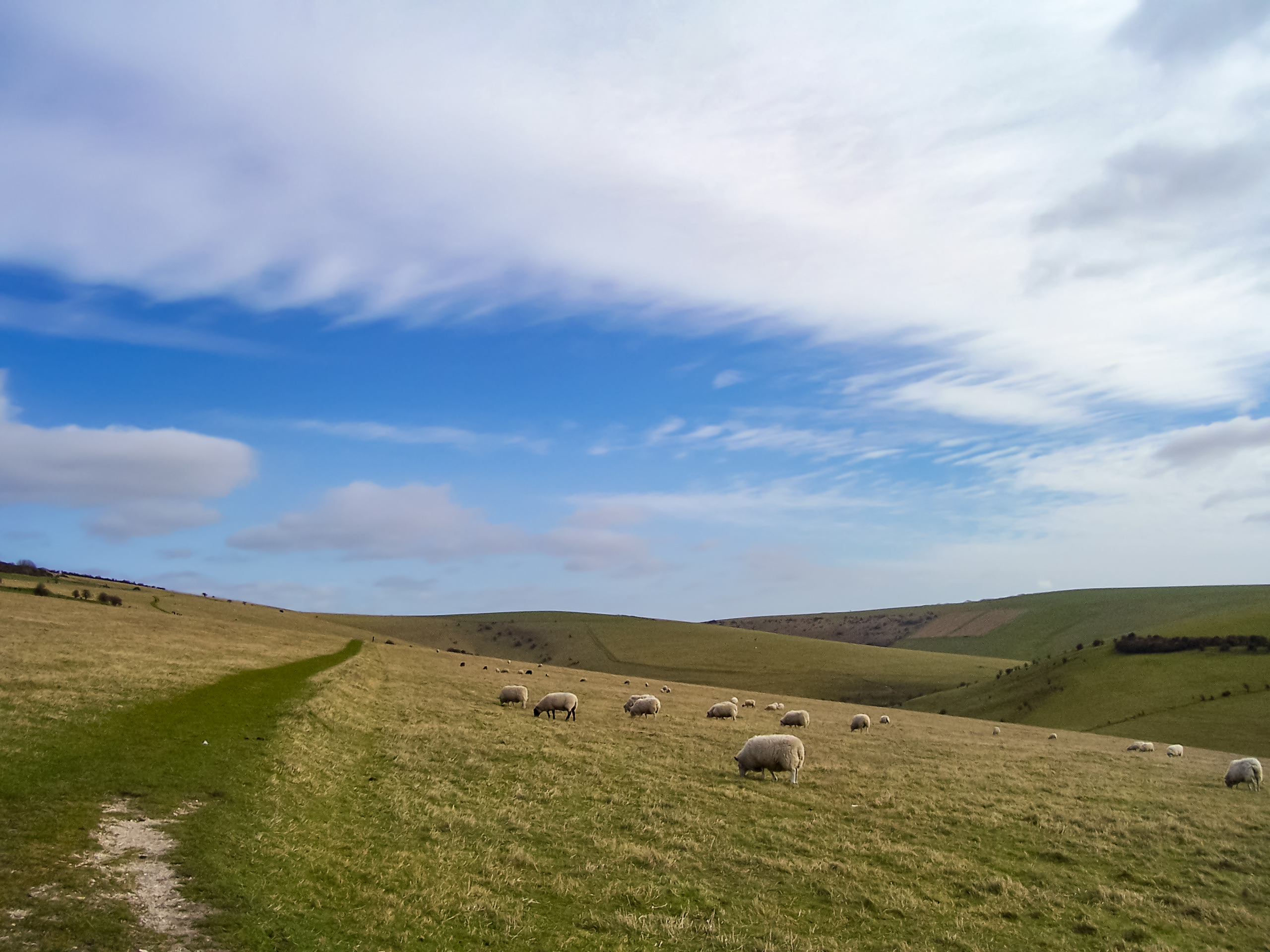
Southease to Eastbourne Walk
Difficulty Rating:
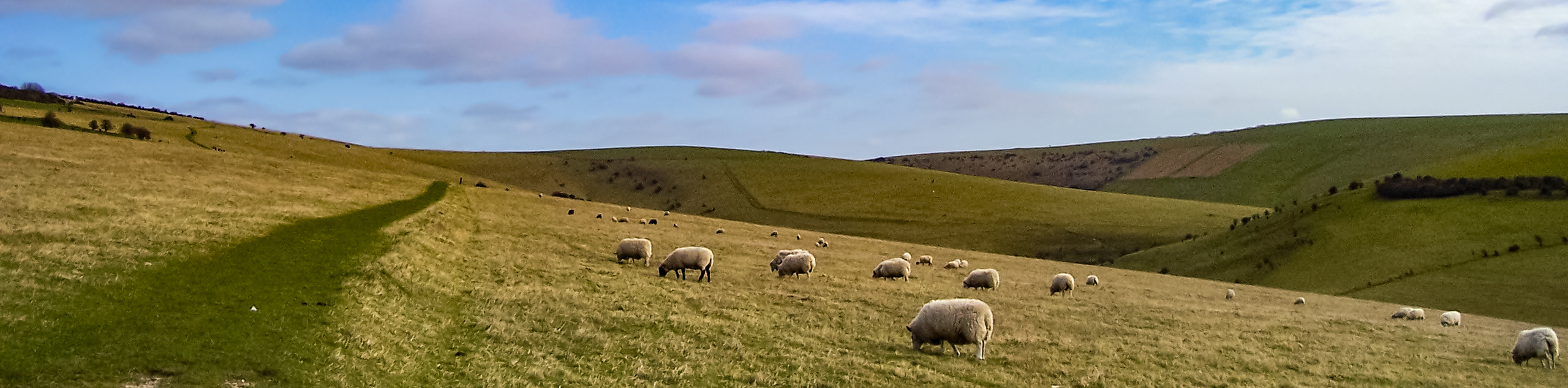
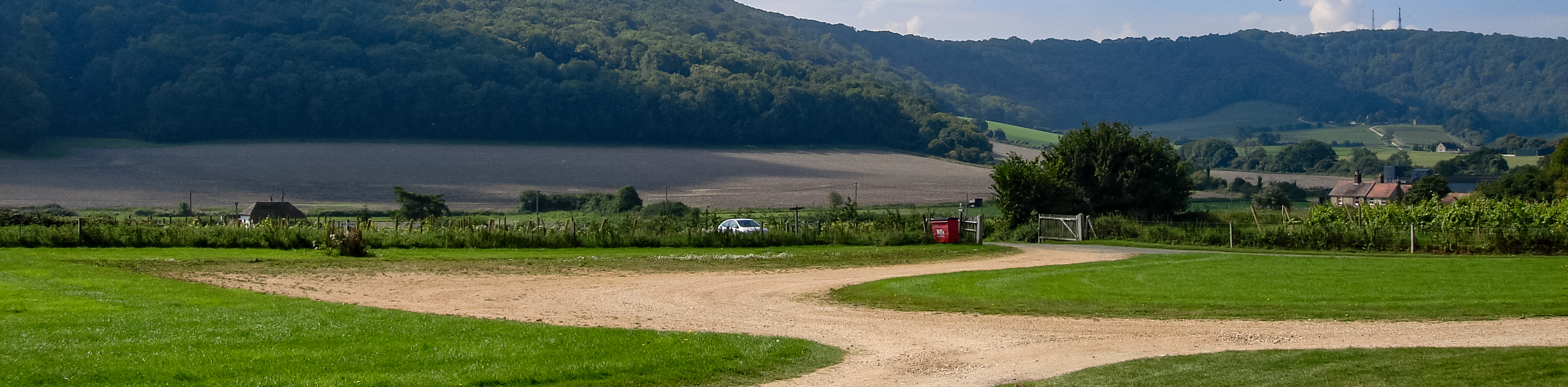
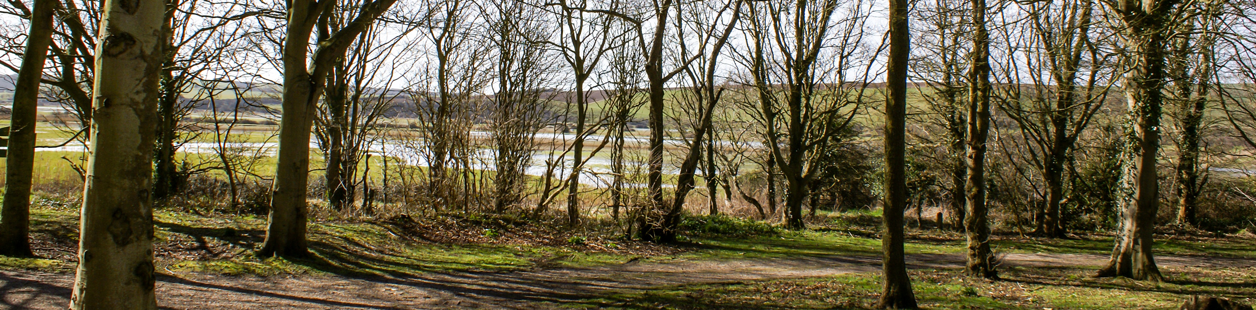
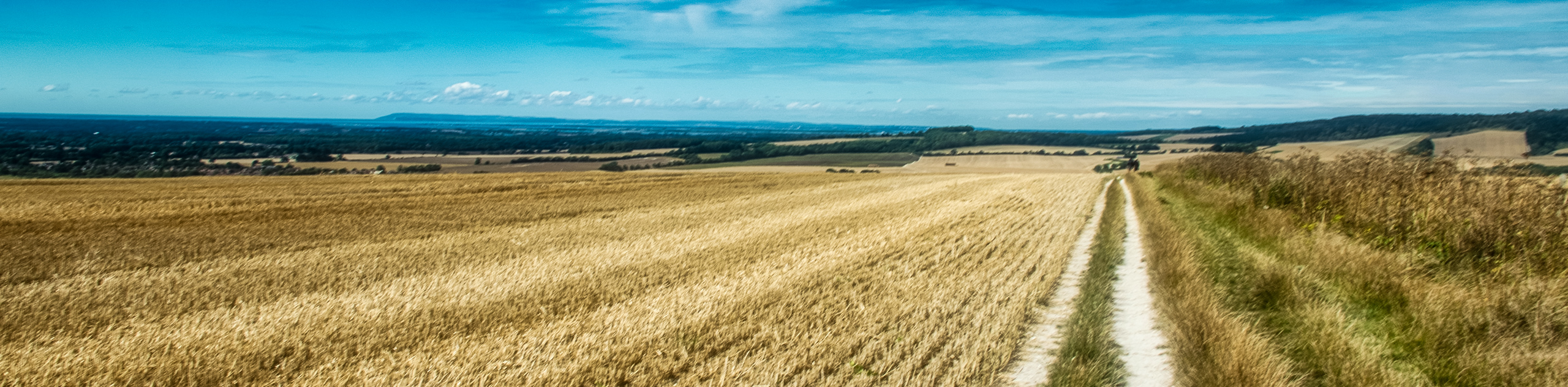
The Southease to Eastbourne Walk is an incredibly beautiful walk that showcases the raw beauty of the English countryside. Look out over the puzzle pieces of different colours of green that make up the areas of the South Downs National Park. Walk by the Seven Sisters white chalk cliffs and gaze out into the ocean. This walk takes you along one of the nine sections making up the 109.0mi South Downs Way!
Getting there
To get to the Southease to Eastbourne Walk from Steyning, head southwest on Wykeham Cl toward High Street and take Steyning By-Pass/A283 and A2037 to Horn Lane. Continue on Horn Lane to A281for 1.3mi and continue on A281. Take A23, A27 and Piddinghoe Road/C7 to Southease Village in Southease. Turn left onto Southease Village and in 0.1mi, you will arrive at your destination.

About
| When to do | May - September |
| Backcountry Campsites | No |
| Pets allowed | Yes |
| Family friendly | No |
| Route Signage | Average |
| Crowd Levels | Moderate |
| Route Type | One Way |
Southease to Eastbourne Walk
Elevation Graph
Weather
Southease to Eastbourne Walk Description
The Southease to Eastbourne Walk has many areas of interest for people looking to take a lovely stroll in the South Downs National Park. Beginning in Southease, wander along this stunning area past rolling hills, taking in the stunning scenery. This walk also passes the famous Seven Sister cliffs that border the sparking ocean below. Continue along this path and after taking in many amazing views, you will arrive back where you began as this is a circular walk.
Similar hikes to the Southease to Eastbourne Walk hike
Amberley Wild Brooks Walk
The Amberley Wild Brooks and Bignor Roman Villa Walk offers a special mix of views, wildlife and history. The George…
Friston Forest Walk
The Friston Forest Walk is a beautiful, pet-friendly walk. Take in the stunning, rolling hill views of the surrounding English…
Trundle and Devils Humps Walk
Take in the stunning views of Solent and Isle of Wight that can be seen in the distance. Another wonderful…
Comments