Old Winchester Hill Circular Walk
View Photos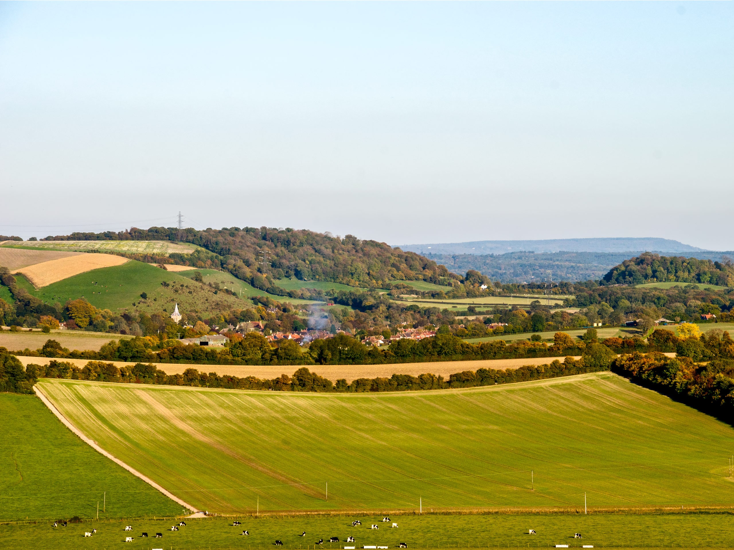
Old Winchester Hill Circular Walk
Difficulty Rating:
The Old Winchester Hill Circular Walk takes you on a journey through the English countryside. Prepare yourself for some down and uphill walking as you wander along the rolling hillsides. This breathtaking walk will display why it is so popular among locals and tourists alike.
Getting there
To get to the Old Winchester Hill Circular Walk from Petersfield, head South on Tilmore Road toward Station Road. Take A3, Chalton Lane and East Meon Road to Droxford Road. In 11.3mi, arrive at your destination.

About
| When to do | April - October |
| Backcountry Campsites | No |
| Pets allowed | Yes |
| Family friendly | No |
| Route Signage | Average |
| Crowd Levels | Moderate |
| Route Type | Circuit |
Old Winchester Hill Circular Walk
Elevation Graph
Weather
Old Winchester Hill Circular Walk Description
This beautiful walk along the countryside does have a few mentionable challenges along the way. One challenge is the up and down hill nature of this walk, which has one steep slope measuring about 492ft. It is not incredibly strenuous, however, it is good to know, so you can come prepared by wearing proper walking shoes. The other small challenge is navigating gates and stiles, however, these are found during most walks in the English countryside.
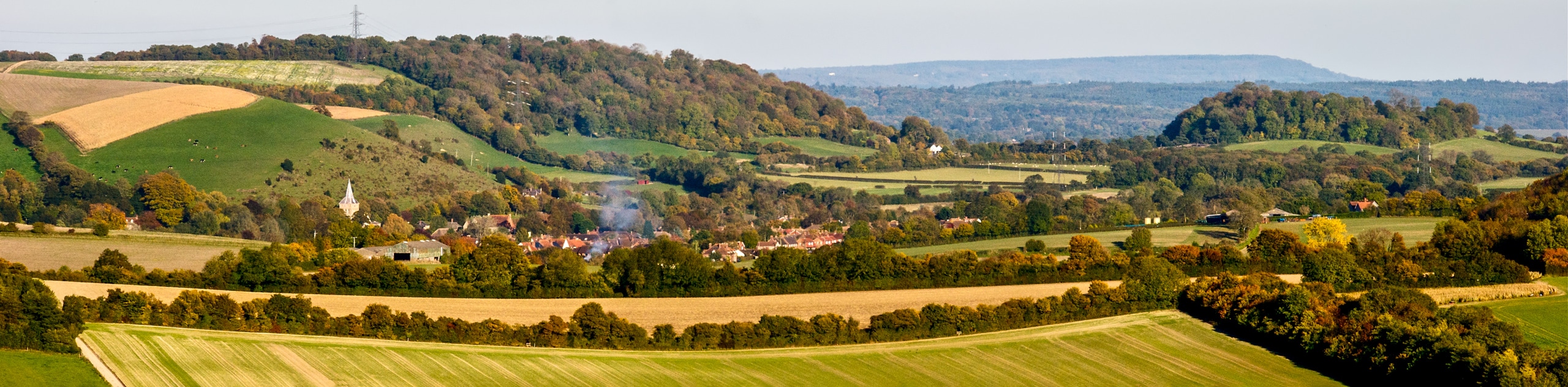
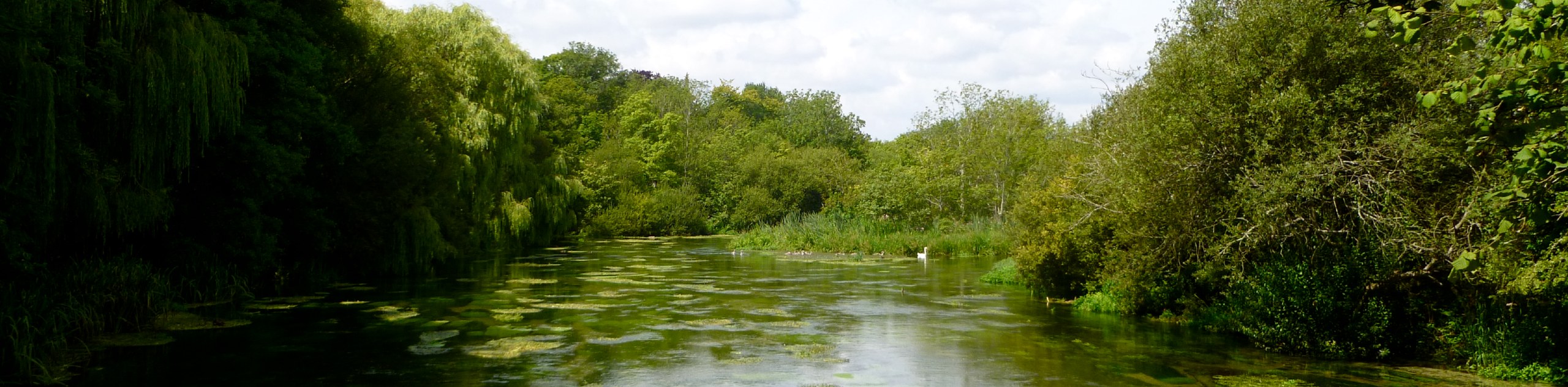
The beauty of this walk is the incredibly captivating scenery that surrounds you as you wander along the path. Rolling hills blanketed by bright green grass can be seen across the distance as you make your way through this area. Keep your eyes open for any wildlife that could be wandering the same path along with you .
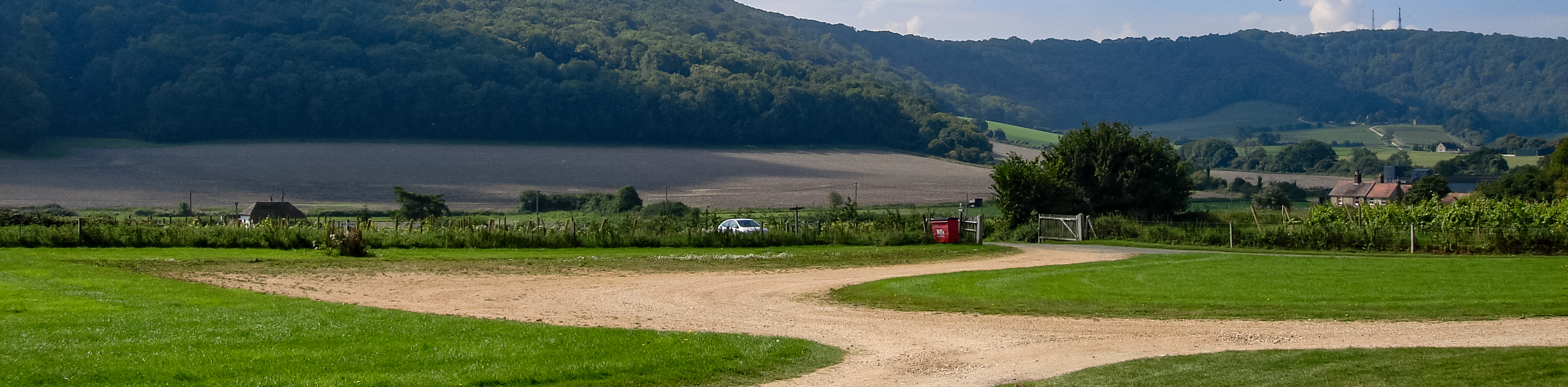
This walk begins at the carpark, where you will cross the road and veer left, coming across a small path on the South Downs Way. Take this path and continue until you reach the first gate. At this gate, continue to follow the path. You will pass through two more gates as you follow the South Downs Way.
After travelling for 1312ft, you will arrive at a cluster of barns. Turn left and follow the tarmac road, indicated by the South Downs Way sign, until you reach a bridge. Continue over this bridge and upon arriving at another barn, turn right to remain on South Downs Way. You will follow a road that is laced with a wire fence that will open up into a meadow, and you will go right as you begin to go uphill.
Follow a path lined with trees for 2461ft until you get to the wooden barrier. You will see a small gap. Head through this small gap, which takes you to a road, leaving South Downs Way. Turn right onto the road.Continue following the signs for South Downs Way and you will come across 3 houses where the path will begin to go downhill slightly. Pass through the stile and prepare yourself for the steep climb. Another stile will appear, head through it, and make your way through a treed area. In the next little bit, while following the path, you will pass through multiple stiles and gates. At almost the end of the walk, you will come across a seat, where you will be rewarded with stunning, open views of the surrounding area. Continue for about 656ft to arrive back at the car park where you began.
Trail highlights
Old Winchester Hill
Old Winchester Hill is a 164 acre National Nature Reserve located opposite Beacon Hill. An Iron Age hill fort sits atop the summit of the hill and Bronze Age barrows can also be seen. Butterflies and bird life are abundant on the hill as well as several species of orchid.
Frequently Asked Questions
How long is the walk at Old Winchester Hill?
The walk at Old Winchester Hill is 4.5mi and would take about 2.5 – 3 hours to complete.
Is the Old Winchester Hill Walk dog friendly?
Yes, dogs are allowed to accompany their owners on the Old Winchester Hill walk.
Is there adequate road signage?
Yes, on the Old Winchester Hill Walk there is great signage.
Is the walk steep at all?
There are steep areas of the walk over the rolling hills on the Old Winchester Hill path and the elevation reaches 768ft.
Insider Hints
If you cannot get into the designated car park, there is a church and pub nearby that has parking that you are allowed to use
Head over in the summer months and you may catch a glimpse of chalkhill blue and meadow brown butterflies
Look for the Meon Valley railway line that has since been abandoned but holds stories of trainloads of fruit chugging along this area to get to the markets
Stop at the Shoe Inn nearby for a pint and home-cooked meal after your walk
Beside the Shoe Inn is the Southwick Brewhouse, which used to be the Golden Lion Pub previously used by Montgomery and Eisenhower when they were planning the Normandy Invasion. This has since been closed and transformed into a Victoria Brewery museum and shop.
Similar hikes to the Old Winchester Hill Circular Walk hike
Avington and Ovington Walk
Meander through lovely countryside fields and across bridges leading you over rivers carved into the stunning South Downs landscape on…
Amberley Wild Brooks Walk
The Amberley Wild Brooks and Bignor Roman Villa Walk offers a special mix of views, wildlife and history. The George…
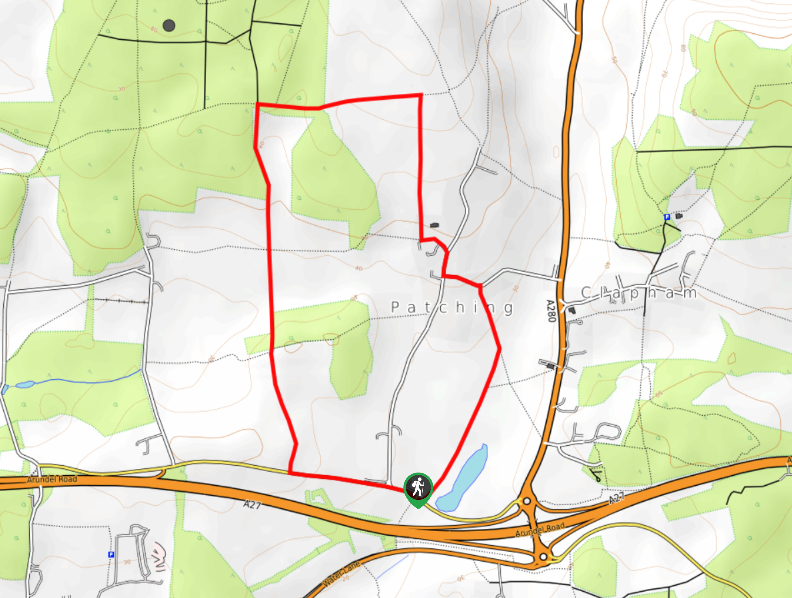
Worlds End and Patching Circular Walk
The Worlds End and Patching Circular Walk is a great path for the whole family, thanks to the gentle gradient…
Comments