Meon Valley Walk
View Photos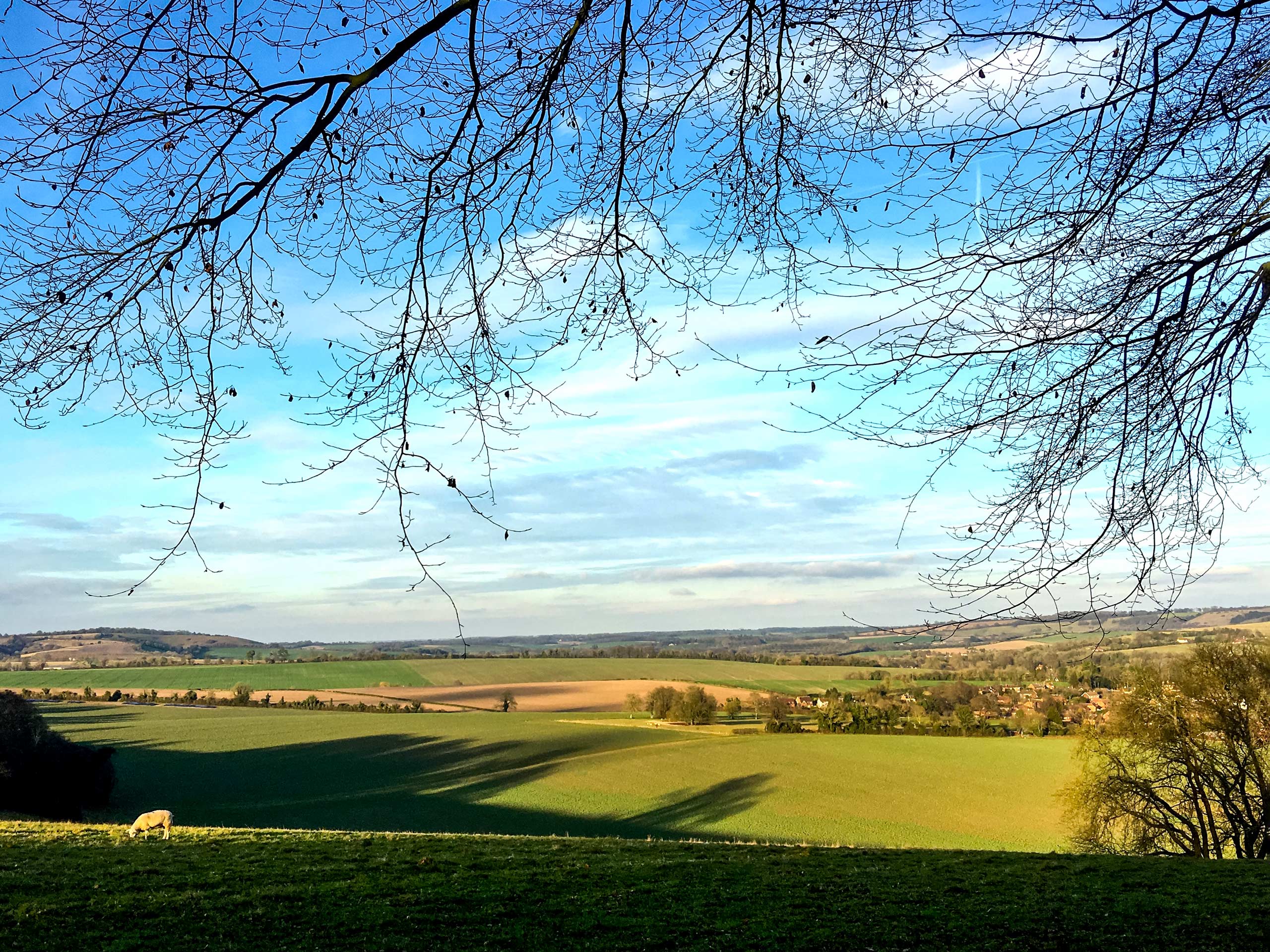
Meon Valley Walk
Difficulty Rating:
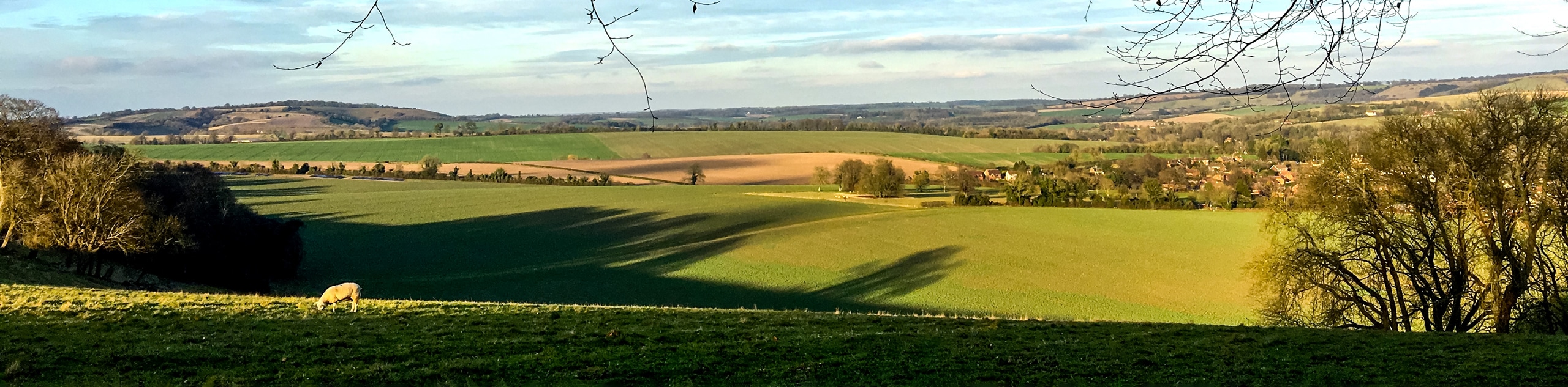
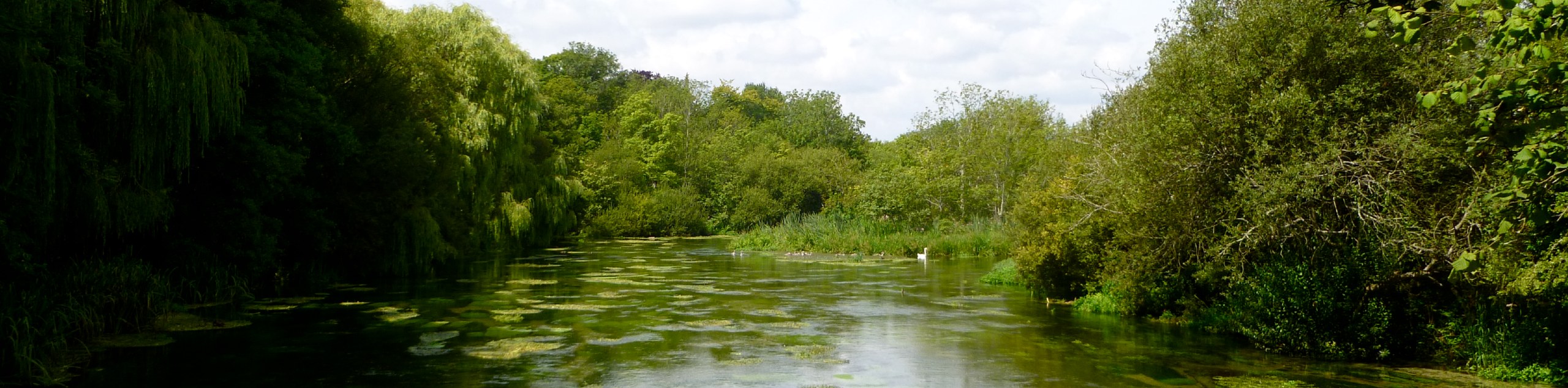
Meon Valley Walk is a stunning stroll with expansive views of Meon Valley and Buster Hill and the small town of East Meon. Vibrant wildflowers are scattered throughout this walk and dance around you as you stroll along the path. You will also cross the River Meon, which has clear blue water and is famous for its trout fishing.
Getting there
To get to the Meon Valley Walk from Fareham, take Gordon Road to Trinity Street. Then, take A32 to Mill Lane in Wickham. Continue on Mill Lane to your destination.

About
| When to do | May - October |
| Backcountry Campsites | No |
| Pets allowed | Yes - On Leash |
| Family friendly | No |
| Route Signage | Average |
| Crowd Levels | Moderate |
| Route Type | Circuit |
Meon Valley Walk
Elevation Graph
Weather
Meon Valley Walk Description
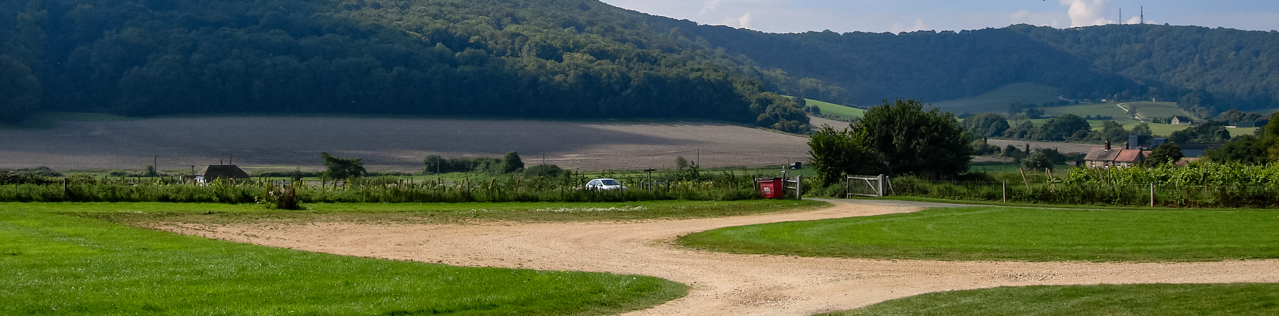
Walking the Meon Valley is a mix of history, wildflowers and rivers. Begin at the Sustainability Centre and head towards Salt Hill. Continuing along, you will pass the Royal Naval Base, and on a clear day, you can spot the Isle of Wight. As you continue, the path will open up to stunning views of East Meon, Meon Valley and Buster Hill. Cross a clear blue stream from the River Meon and follow the path to the National Nature Reserve of Old Winchester Hill. You will then stumble upon the Iron Age hill fort that was constructed over 2500 years ago and explore the Bronze Age Burial Mounds that have existed for over 3500 years. After you have finished taking in the views, head back on the gravel path, and you will reach the beginning of this Meon Valley circular walk.
Similar hikes to the Meon Valley Walk hike
Avington and Ovington Walk
Meander through lovely countryside fields and across bridges leading you over rivers carved into the stunning South Downs landscape on…
Amberley Wild Brooks Walk
The Amberley Wild Brooks and Bignor Roman Villa Walk offers a special mix of views, wildlife and history. The George…
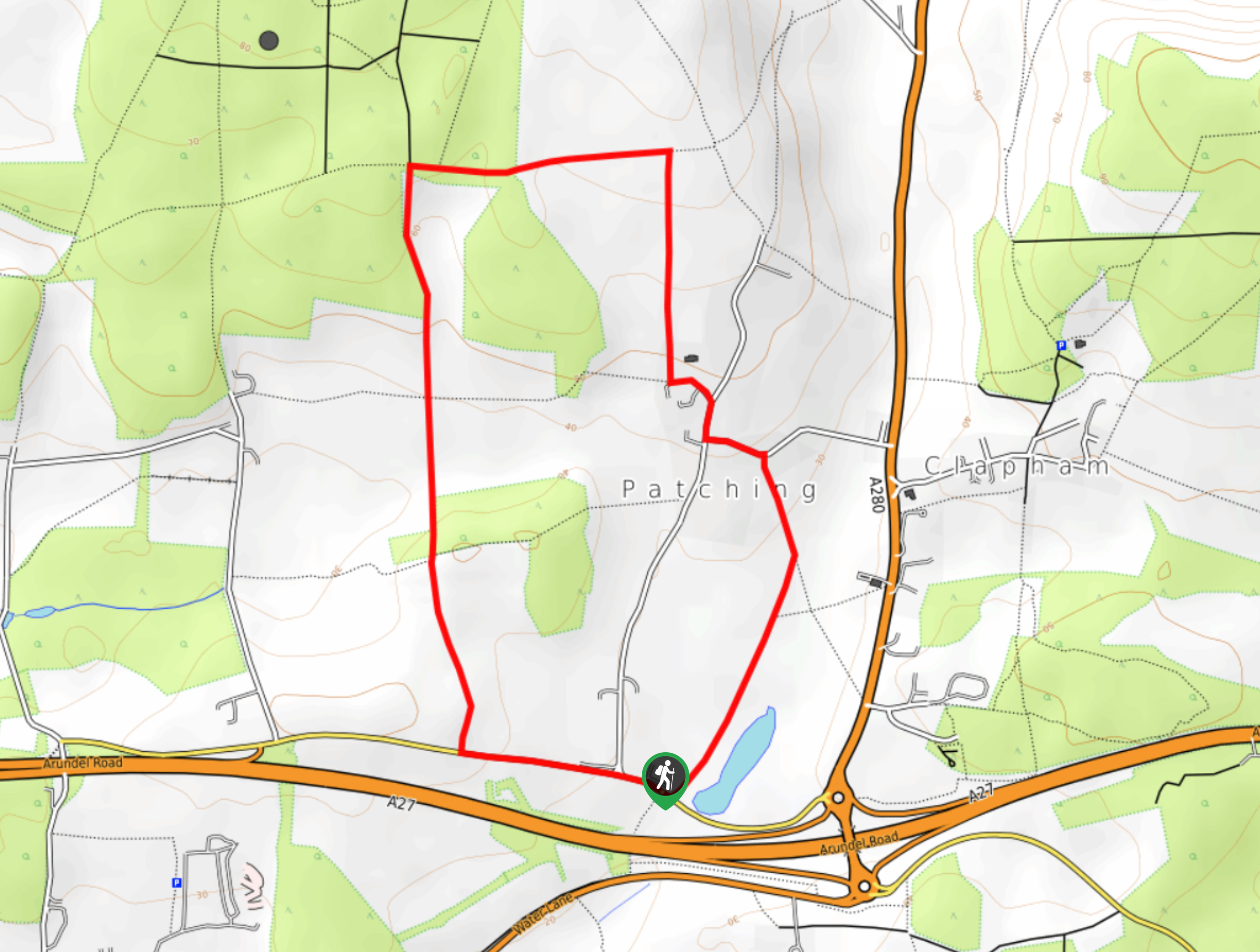
Worlds End and Patching Circular Walk
The Worlds End and Patching Circular Walk is a great path for the whole family, thanks to the gentle gradient…
Comments