
East Meon Walk
View Photos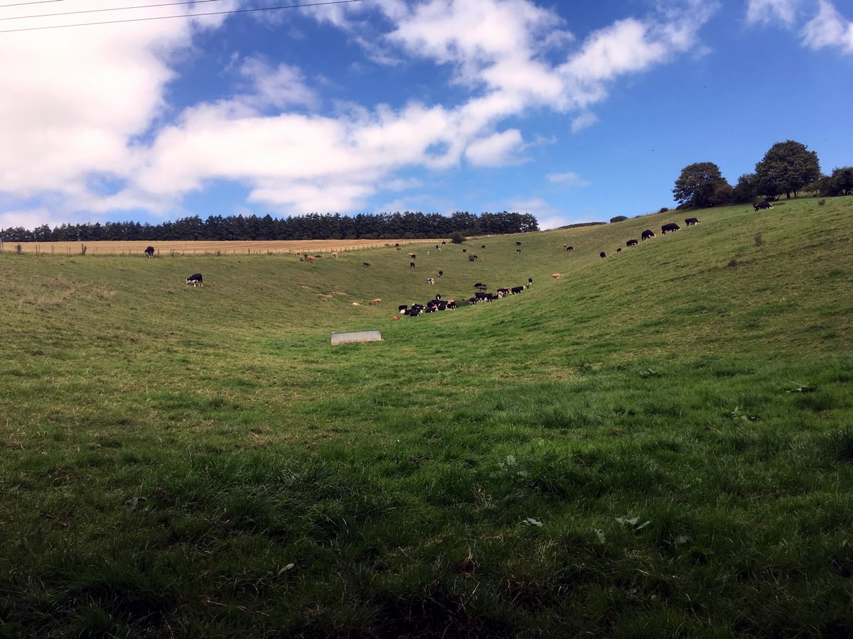
East Meon Walk
Difficulty Rating:
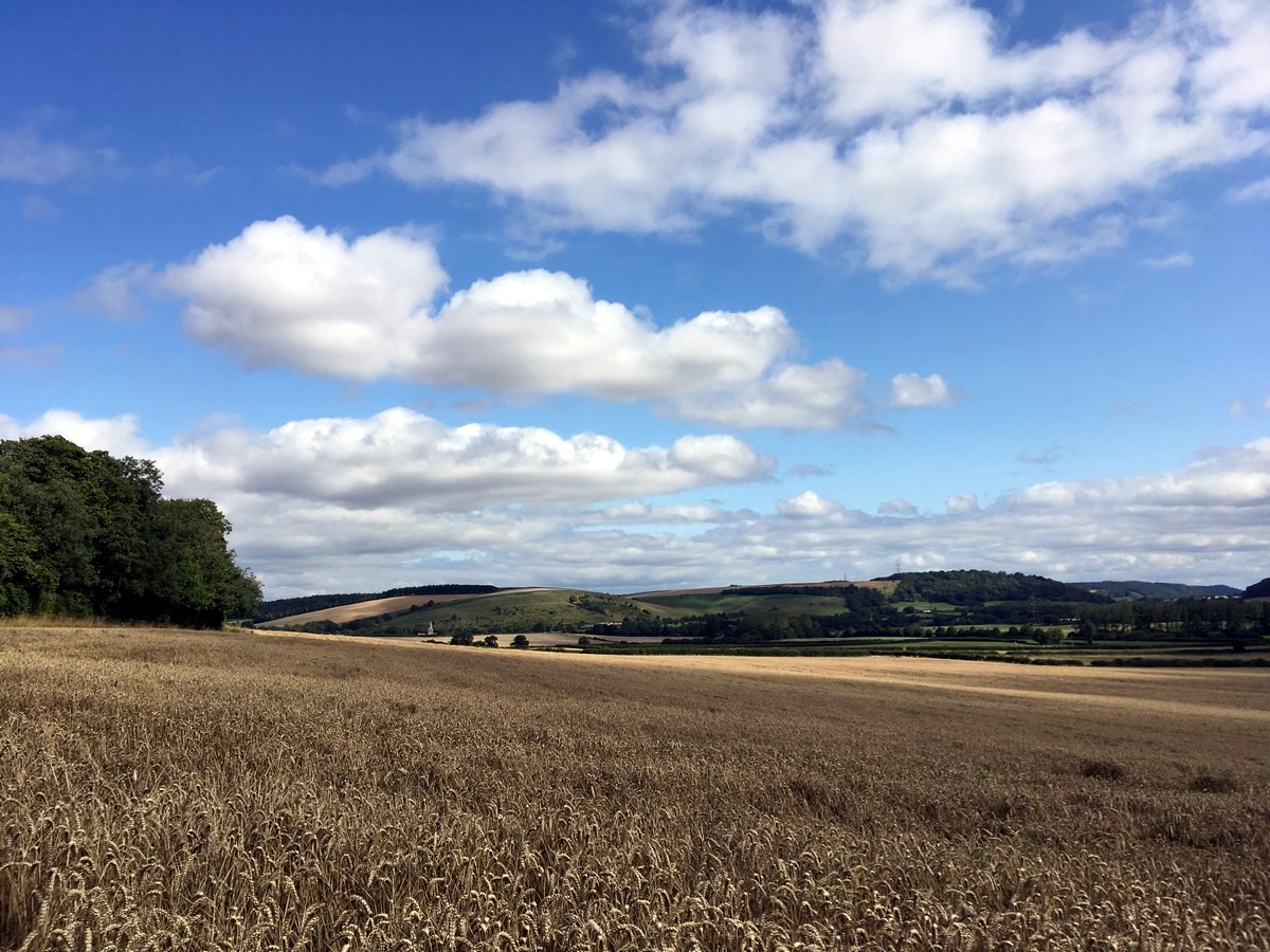
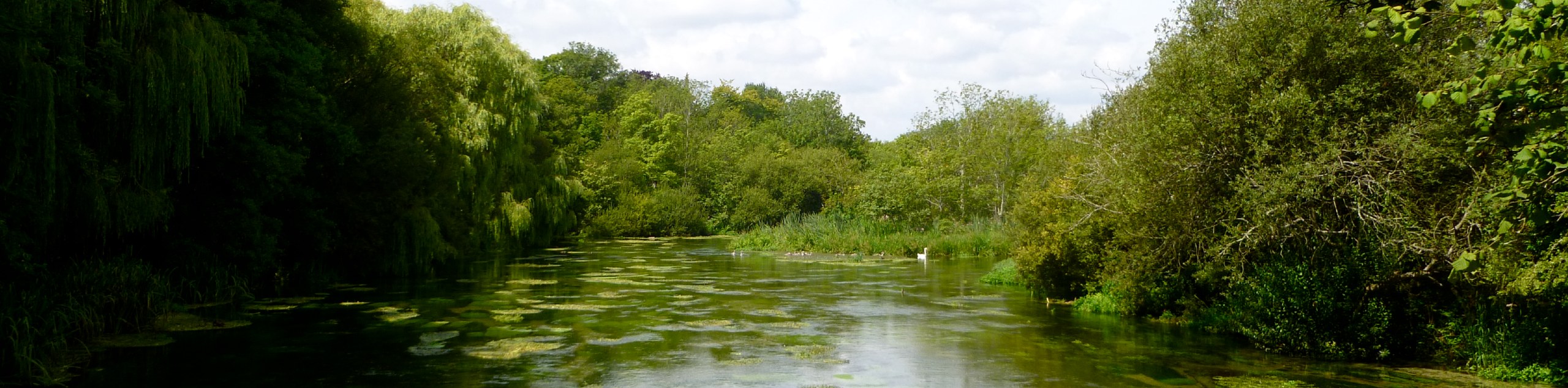
The east Meon Walk circles the idyllic village of East Meon, starting at the historic 13th-century All Saints church. The hike ends with great views of Butser Hill, the highest point in the South Downs National Park, for some sensational views.
Getting there
If driving to East Meon Trailhead, use postcode GU32 1PF, and park at the free village car park on Workhouse Lane. Regular trains from Southampton and London stop at nearby Winchester. From Winchester bus number 67 runs frequently between Petersfield, stopping outside All Saints Church, East Meon. The trail starts at the car park and then walks past the church bus stop shortly afterwards.

About
| When to do | April to September |
| Backcountry Campsites | No |
| Toilets | Yes, East Meon Village Hall |
| Family friendly | No |
| Route Signage | None |
| Crowd Levels | Low |
| Route Type | Circuit |
East Meon Walk
Elevation Graph
Weather
East Meon Trail Description
To get to the start of the East Meon Walk, from the car park, turn right onto Workhouse Lane and walk ahead towards the village.
Come to a larger road and turn left onto the High Street, past the village store and then immediately left again on Church Street. Follow this past Ye Olde George Inn to the next T-intersection. Cross the road to the bus stop outside of All Saints Church. Nestled on a hillside, with no room to build a North Isle, the church is the oldest building in East Meon, with the spire dating back to 1150.
Enter the church yard and climb the small set of steps onto the grass on the left. Follow the East Meon trail to the back left-hand corner, where it enters a wooded area and climbs uphill.
Pass through the gate ahead of you at the top and walk along the bottom of the field. Continue through another gate and on the trail directly ahead.
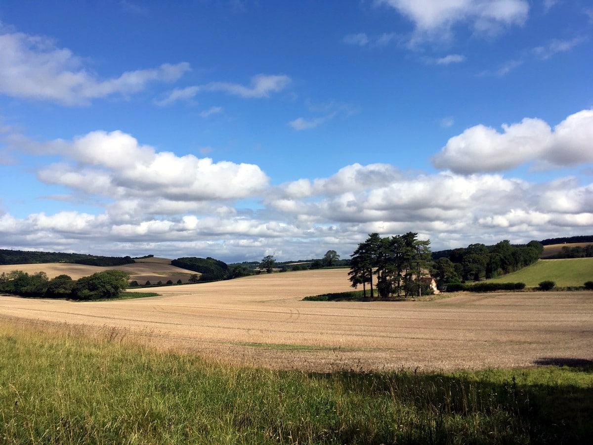
The next gate leads you onto a driveway. Turn left onto the drive, then right onto the road for 66ft until you see a gate on your left. Pass through the gate and follow the clear trail across the fields, in the same direction, for just over 0.5mi until you reach a farm, passing through five gates along the way.
At the farm, keep in the same direction, crossing the driveway onto the narrow fenced-in trail directly ahead. When you reach the road shortly afterwards, turn left.
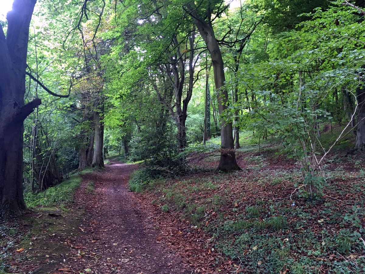
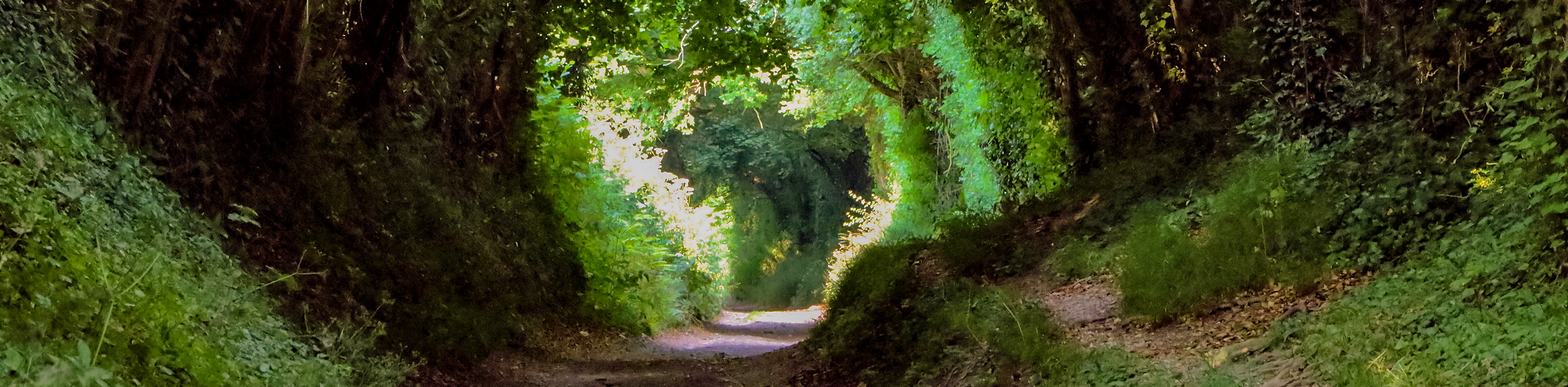
Follow the road past the houses until you reach Halnaker Lane. Turn right up the lane and when you reach the last house at the top take the wide track into the woods on your left.
Continue on this quiet woodland trail, which turns into the South Downs Way, for the next 1.5mi, turning left at both forks and straight over at the intersecting trail, until you reach a road.
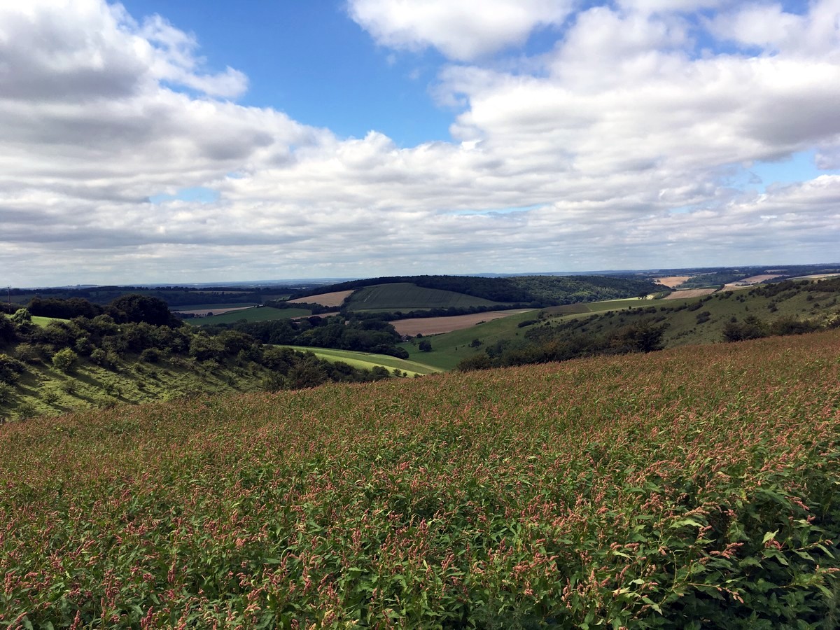
Cross the road with care and continue on the South Downs Way trail directly opposite, which climbs steeply uphill, for another 0.5mi. Once the trail levels out at the top, pause to enjoy the views and then pass through the wooden gate on your left into the field, leaving the South Downs Way behind.
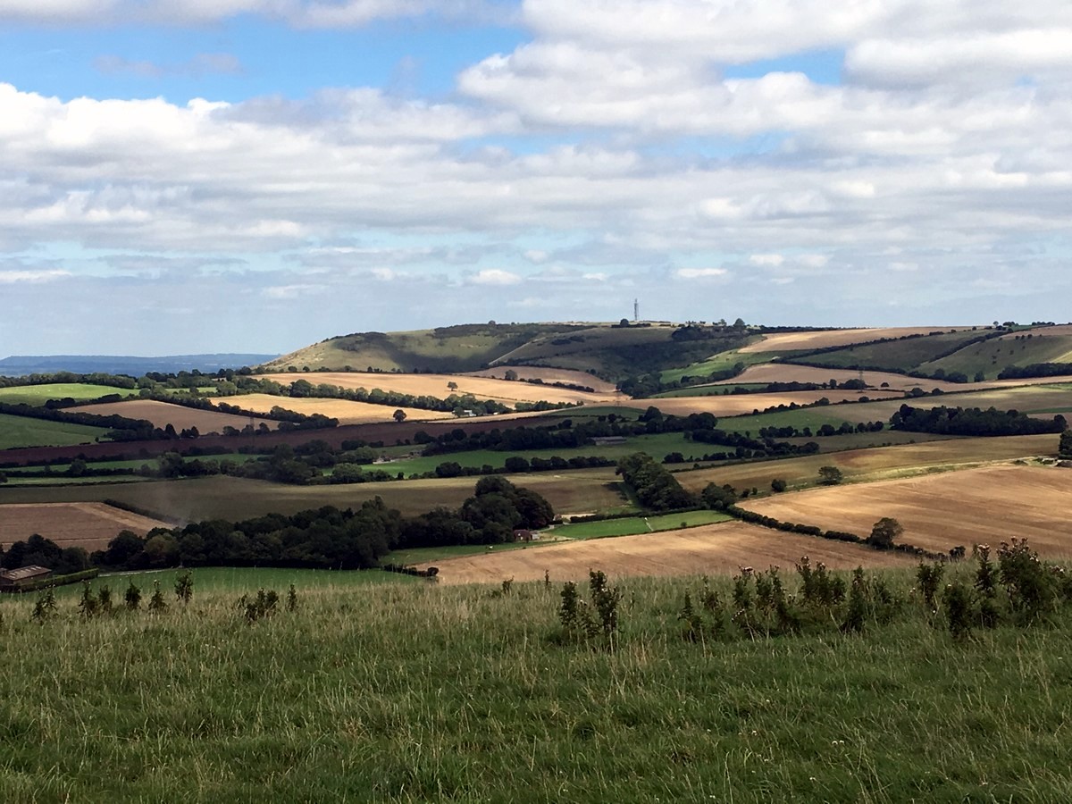
Walk ahead directly down the slope, then up the other side and out of the gate on the left-hand side. The views here are incredible. You can see East Meon church in the distance and the bald Butser Hill on your right, the highest point in the South Downs National Park.
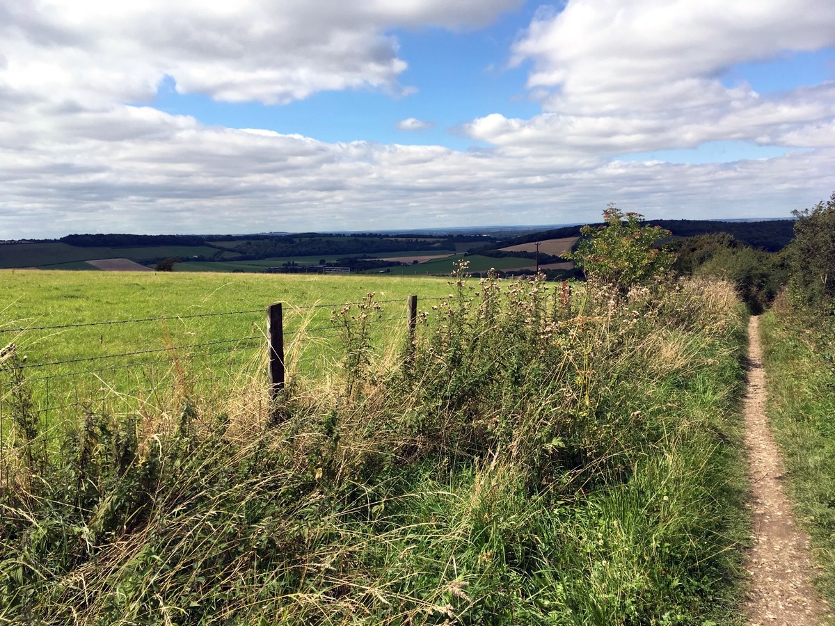
Walk across the top of this field and through the gate on the other side. Now take the steep downhill trail on your right, passing over a stile at the halfway point until you reach the very bottom of the field below. Turn left and follow the trail along the field edge, with the fence on your right.
Pass through the gate in the bottom right-hand corner and follow the trail as it briefly enters the woods. Cross the stile on your left and then exit the woodland into another field. Follow the trail along the field edge, with the fence on your right and a tiny cottage ahead of you on your left.
Continue straight ahead through the two fields, in the same direction, with the fence line now on your left.
Pass through the metal gate in the left-hand corner and take the trail directly across a grassy field and out the gate on the other side, into a small private car park.
Exit the car park and cross the Coombe Road, then turn right to follow the footpath back into the village. When you reach the village store, turn left on Workhouse Lane to return to the car park and Village Hall or turn right to return to the Church and the two local pubs.
Walking route highlights
Butser Hill
This National Nature Reserve and Special Area of Conservation is a unique natural landmark. Known as the highest point in Hampshire and one of England’s Marilyns, this hill is an incredible lookout spot for amazing views.
Butser Hill is beloved for its plethora of flora and fauna. It’s classified as a Hampshire chalk grassland, home to 125 species and 82 types of flora. Also, the hill seems to draw an influx of butterfly species, making the area important conservation for the beautiful winged insects.
East Meon
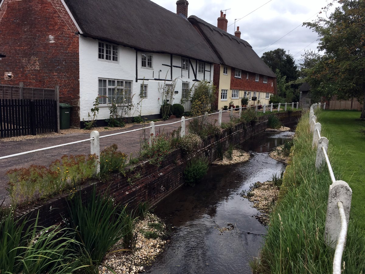
Tucked away in the East Hampshire district of Hampshire lies the charming town of East Meon. Here, you can find an Iron Age fort, which was built around 500 years ago before the Romans ever invaded Britain. It’s believed that the village itself may have formed between 400 and 600 AD.
Today, visitors can enjoy the popular sport of cricket, played each Sunday for the entertainment of the village. You’ll also find plenty of quaint inns, shops and pubs for a relaxing post hike day out. Take a stroll down by the docks to spot World War I frigates, alongside the busiest cruise port in England.
Insider Hints
The Meonside Campsite is located just outside of the village, on the banks of the river. The facilities are basic, but the site is spacious, and the friendly farmer can even provide wood for fires. Cash payment is collected nightly.
Ye Olde George Inn, near the river in East Meon, is a 15th-century coaching inn that still provides accommodation today. The friendly atmosphere, and good food, make this a great place to stop for a rest, or for the night.

Similar hikes to the East Meon Walk hike
Avington and Ovington Walk
Meander through lovely countryside fields and across bridges leading you over rivers carved into the stunning South Downs landscape on…
Worlds End and Patching Circular Walk
The Worlds End and Patching Circular Walk is a great path for the whole family, thanks to the gentle gradient…
Halnaker Circular Walk
The Halnaker Circular Walk is a beautiful stroll filled with open meadows, woodland and stunning scenery. There are stiles and…
Alastair Lewis 3 years ago
Lovely walk - fantastic views. Quite steep in places ( but not for long ) - The George for lunch at the end is also highly recommended !!
RamblerMickey 3 years ago
Fantastic walk beautiful countryside views would definitely do it again.
lolo12345 4 years ago
peaceful the whole way. not really a hike, more of a nice walk. got some rain but still had a nice time.
Kaye Mcdonalds 4 years ago
We camped in the Meonside Campsite, and it's impressive how well maintained the facilities were. It was very convenient for us to explore our surroundings.
Sun Lee 4 years ago
It was a nice place to stroll around and enjoy alone time.
RobPeterson 4 years ago
good hike. vast area for them to play around.
Avamichelle82 4 years ago
The views from here are work of art. I was glad I was able to take pictures here for my portfolio. Just perfect!
WanderLee 4 years ago
A great variety of scenic views and a nice walk across the downs to Butser Hill. Definitely recommend!
Allbitenobark 4 years ago
I enjoyed this hike a lot! I can't believe I was able to enjoy the amazing view with my wife.
Sarah Potts 4 years ago
You are going to love this walk! Will definitely come back!