
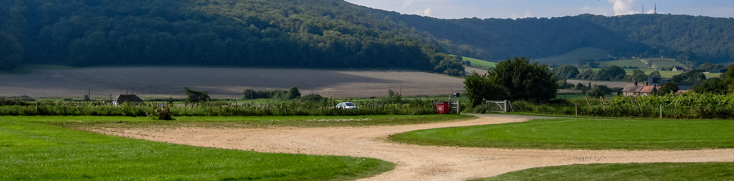
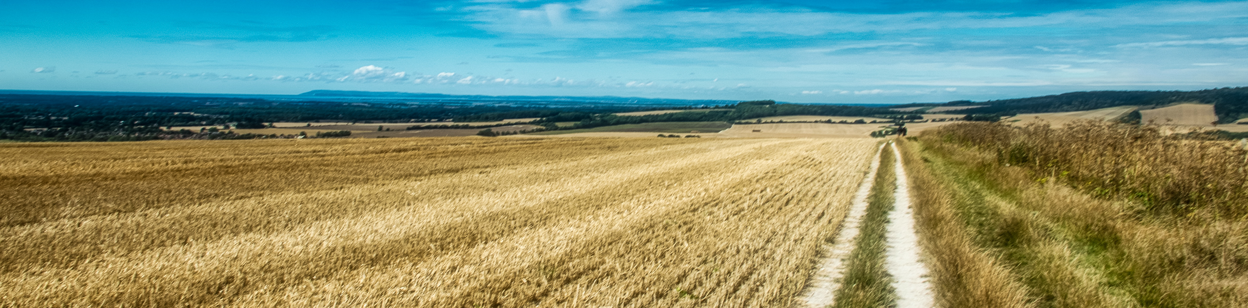
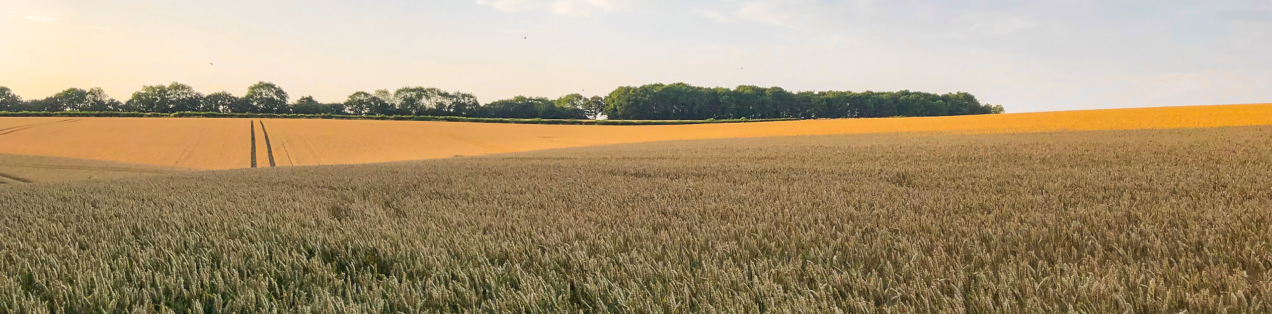
Amberley to Shoreham-by-Sea hike
View Photos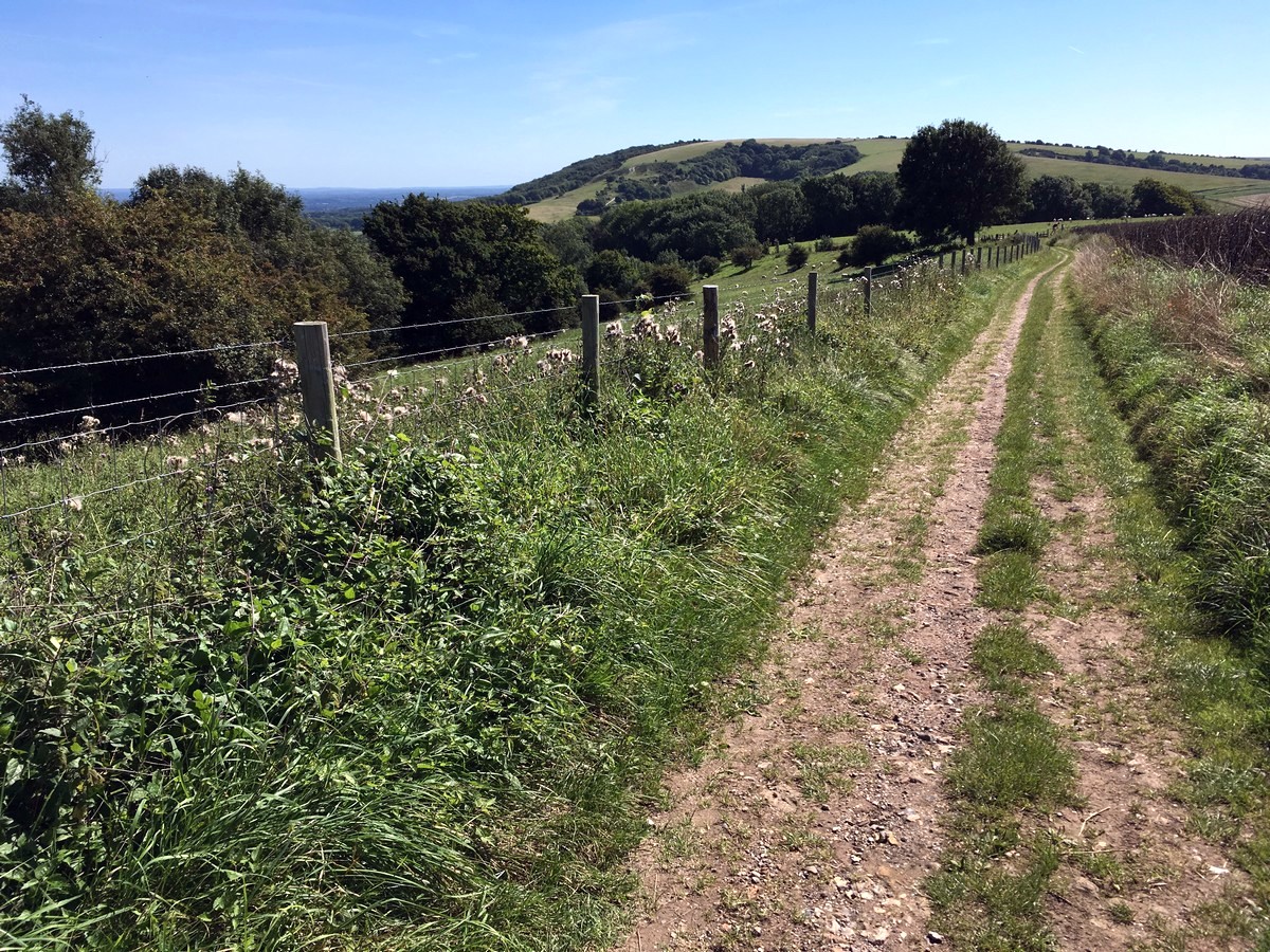
Amberley to Shoreham-by-Sea hike
Difficulty Rating:
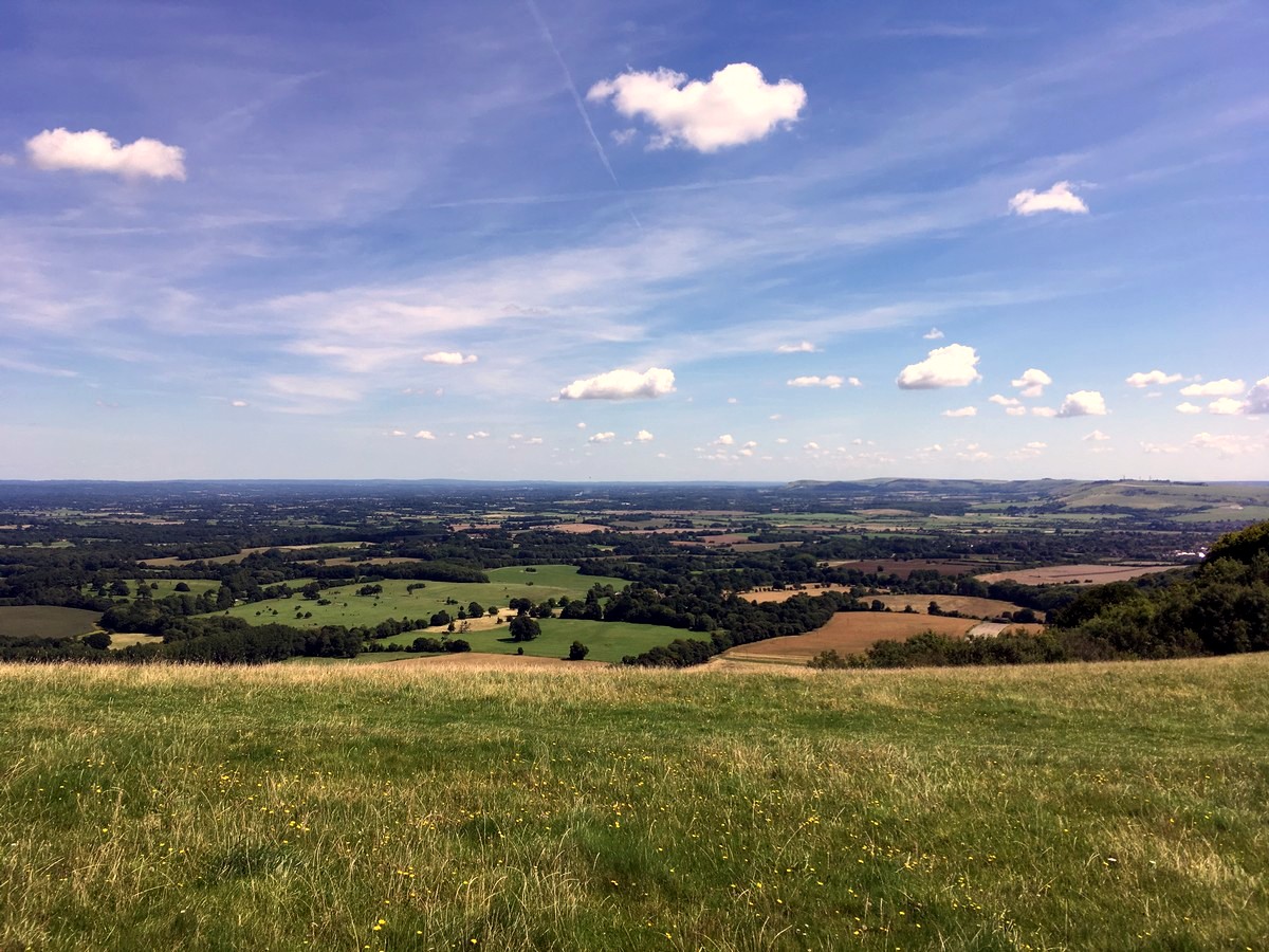
The walk from Amberley to Shoreham-by-Sea is another wonderful walk in the South Downs. Starting at the Amberley railway station, this long and clearly marked trail follows a highly rewarding section of the South Downs Way. It may be a long walk, but it’s unique in that it has only a couple of steep climbs. The trail passes the prehistoric hill fort of Chanctonbury Ring, with magnificent 360-degree views of the surrounding downs, before finally descending into to the small coastal town of Shoreham-by-sea.
Getting there
The trail starts at Amberley train station. Both Amberley and Shoreham-by-Sea have direct rail links to London Victoria. If driving, drive to either station (Amberley BN18 9LR, Shoreham-by-Sea BN43 5WX), depending where your onward journey takes you or at which end of the trail you’d rather take the train. The train between Amberley and Shoreham-by-Sea takes about 40minutes, changing trains once on the way at Ford.

About
| When to do | Year round |
| Backcountry Campsites | No |
| Toilets | Yes, Shoreham-by-Sea Railway Station |
| Family friendly | No |
| Route Signage | Average |
| Crowd Levels | Low |
| Route Type | One Way |
Amberley to Shoreham-by-Sea
Elevation Graph
Weather
Route Description for Amberley to Shoreham-by-Sea
Exit the station and cross the road onto the footpath opposite. Turn right and follow the footpath along the side of the road for about 1640ft until you reach Tittern Lane on your right. Cross the road and walk uphill on Tittern Lane.
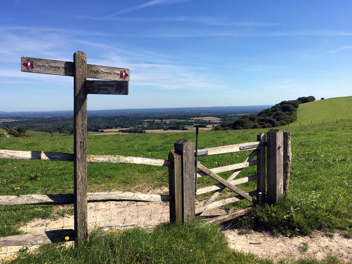
The lane curves to the right at the top and shortly afterwards you’ll notice two wide wooden barriers on the muddy bank to the left, waymarked for the South Downs Way.
Turn left here, uphill through the gate, and onto the narrow stony trail. Continue uphill and when you reach the farm keep on the left-hand trail, ignoring the other tracks. The South Downs Way follows the fence line on the left all the way up the grassy Amberley Mount ahead of you.
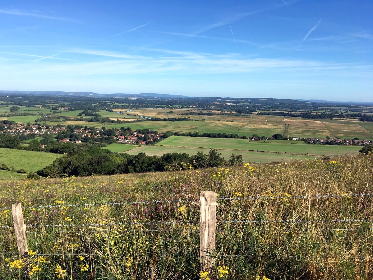
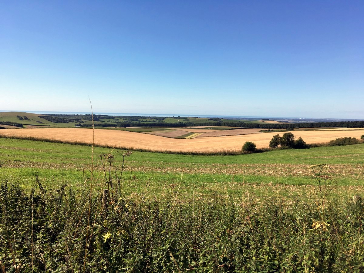
Pass through the gate at the top and continue on this trail, in the same direction for the next 3.0mi. Along the way you’ll pass a small car park and see views of the ocean on your right, with the giant Arundel Castle in the distance.
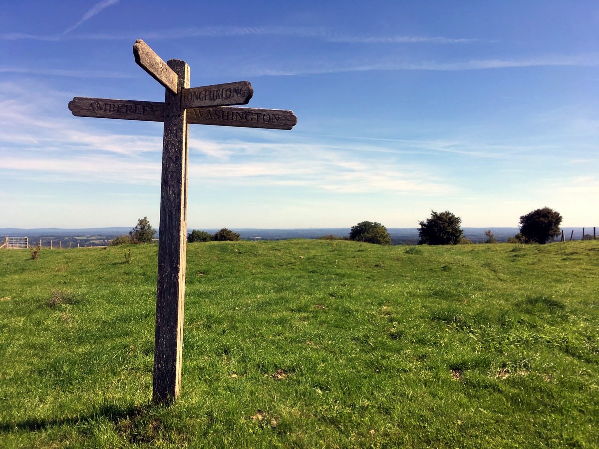
After 3.0mi, the trail enters another small car park. Follow the trail through the car park in the same direction to the gate at the top, waymarked for Washington and the South Downs Way.
After 0.5mi, at the second cattle grid, the trail takes a left turn, up and over a grassy hill, with the fence line now on your left.
Pass through the gate at the end of the field and continue on the stony trail ahead, between two fields. The trail drops steeply downhill and becomes shaded with trees on each side. As you exit the trees onto a driveway there is a drinking water tap on your right-hand side, opposite the first house on the left. One of the few places to replenish your water bottles.
Follow the driveway down to the busy main road (A24) and take your time to cross it with great care. There is a small footpath on the left to point you in the direction of the South Downs Way.
Once on the other side of the A24, follow the lane uphill, waymarked for the South Downs Way and the River Ardur, crossing over another small road on the way. The lane curves uphill to the right into the Washington car park. Follow the gravel track at the top of the car park and turn left at the first fork shortly afterwards.
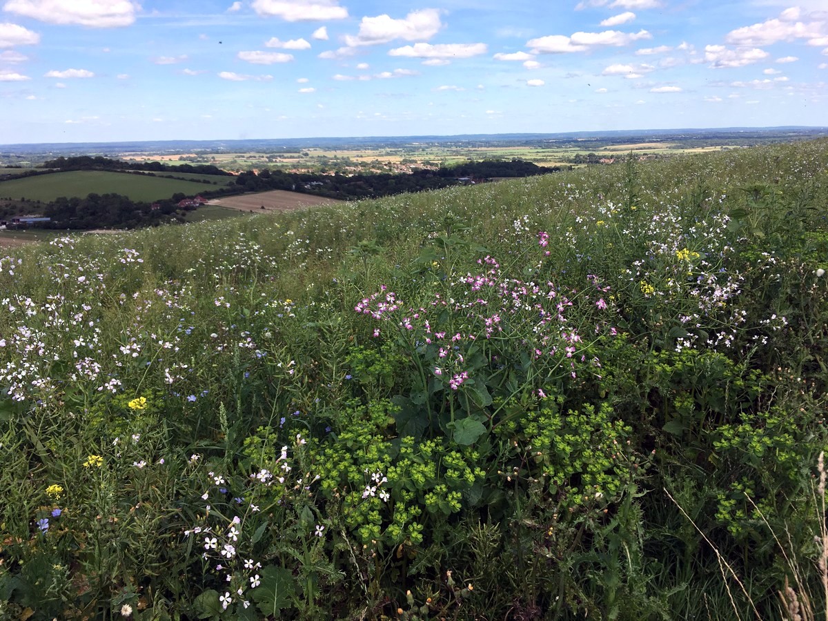
The trail climbs steeply uphill here and when it levels out take the trail to the left, clearly waymarked. The trail passes Chanctonbury Dewpond and then reaches a clear grassy area with the ancient Chanctonbury ring – the tree covered hill fort, directly ahead of you. The panoramic views here are incredible and make for a popular picnic spot.
After the trees the trail heads diagonally downhill to the right. When you reach a fork, turn left, between two fields and continue on the stony chalk trail for the next 1.5mi until you reach Bostal Road.
Cross Bostal Road and take the South Downs Way trail directly opposite, walking parallel with the road on your right. Continue on the trail straight ahead after the car park and at the next gate, just before another small parking area, turn left alongside the field edge.
Over the next 1.5mi you’ll pass through 2 gates and walk past a pig farm. When the trail turns downhill stick to the field edge on your right, towards the second part of the pig farm below.
Pass through the gate on the left at the bottom of the field and continue downhill through the narrow tree lined trail until you reach the road.
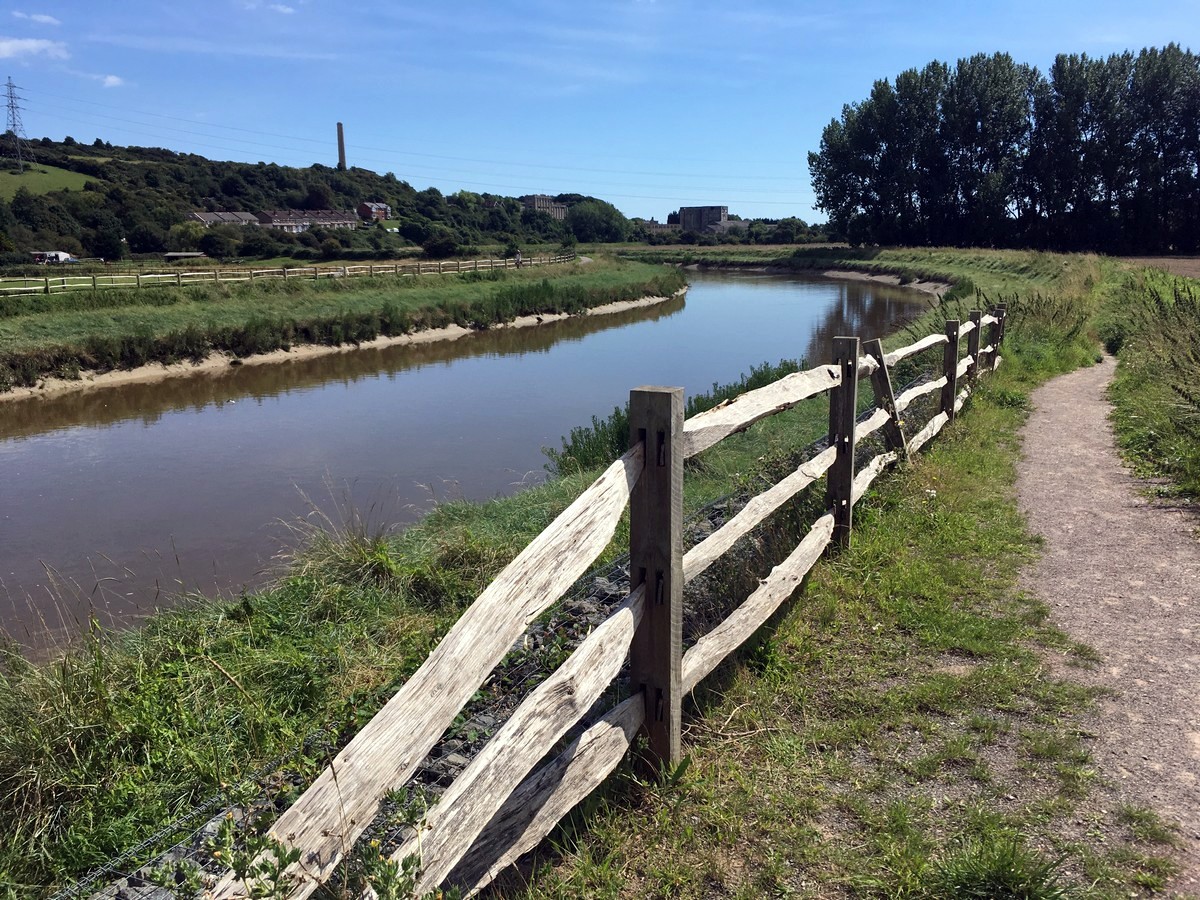
Turn right on the road and follow it through the village of Botophs, until you turn left onto the public footpath, just after Pear Tree Cottage. Walk through the small field and exit up a small step in the left-hand corner. Turn right onto the trail and then left at the junction shortly afterwards. Cross over the bridge and take the trail on the right, alongside the River Ardur, way marked for the Downs Link.
Follow the easily marked Downs Link for just over 2.0mi until you reach the large footbridge crossing the river to the right. Turn left, away from the bridge, to reach the road. Turn right onto the footpath and cross over the road at the Amsterdam Inn to walk up Upper Shoreham Road.
After a short distance take Connaught Road, the first road on your right, and follow it all the way back to the station, waymarked with small blue signs. When you see the ‘One Stop’ shop ahead of you, cross over and follow the path along its left-hand side to reach the station entrance and car park.
Insider Hints
There are limited facilities near Amberley station so be sure to bring everything you need. The trail starts heading right out of the station, but if you turn left, under the footbridge, you’ll find a couple of pleasant tea rooms and a pub.
On the trail, just after 6 miles, as noted in the route description, there is a drinking water tap to replenish any empty water bottles.
The serene woodland, and family friendly, Foxwood campsite is located a 20-minute drive from Shoreham-by-sea, a perfect place to rest weary legs.
If limited to public transport, take a 30-minute train to Brighton for more accessible camping options. Or, a 1-hour train ride to Southease to stay at the YHA South Downs campsite, with pods, yurts and dorms, right next to the station.

Similar hikes to the Amberley to Shoreham-by-Sea hike
Amberley Wild Brooks Walk
The Amberley Wild Brooks and Bignor Roman Villa Walk offers a special mix of views, wildlife and history. The George…
Trundle and Devils Humps Walk
Take in the stunning views of Solent and Isle of Wight that can be seen in the distance. Another wonderful…
Itchen Way: Hinton Ampner to Winchester Walk
The Itchen Way: Hinton Ampner to Winchester Walk boasts captivating views of the South Downs National Park. The path has…
ejcouper 3 years ago
ejcouper 3 years ago
Wonderful hike. The few steep uphill sections were worth it for the views.
ejcouper 3 years ago
Wonderful hike. The few steep uphill sections were worth it for the views
lolo12345 4 years ago
we only did a section of it. the whole route here would be a full day. the part we did was lovely, quite a few people out on the weekend.
Hunter156 4 years ago
A notably long hike but only a few hard steep trails. The view of Shoreham-by-the-sea was charming and wonderful.
Reecewill178 4 years ago
The woodland was so peaceful, I enjoyed this long walk a lot!
skywalker786 4 years ago
Had a peaceful walk with nature. The sea is also a wonderful view.
Kaye Mcdonalds 4 years ago
I took a lot of beautiful pictures. It was a nice place for picnic shoots. Very calm and serene.
MarianneW. 4 years ago
We visited this place a few years back in spring, and we were so fascinated by the vibrant color of wildflowers and the serene scenery.
summernathan 4 years ago
It's actually awesome and I wonder why It's not as busy as other hikes I've been through before.