Amberley and the River Arun hike
View Photos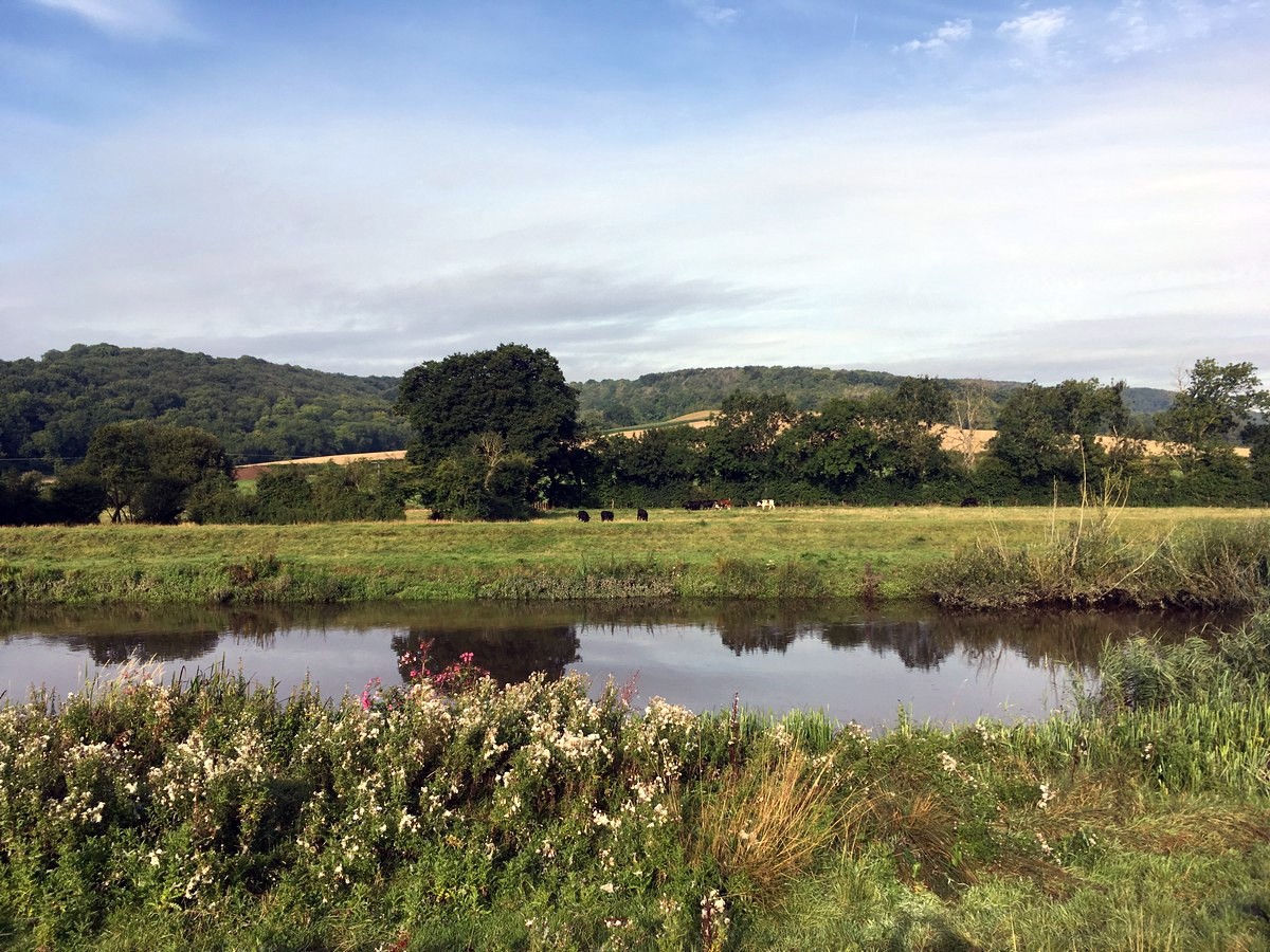
Amberley and the River Arun hike
Difficulty Rating:
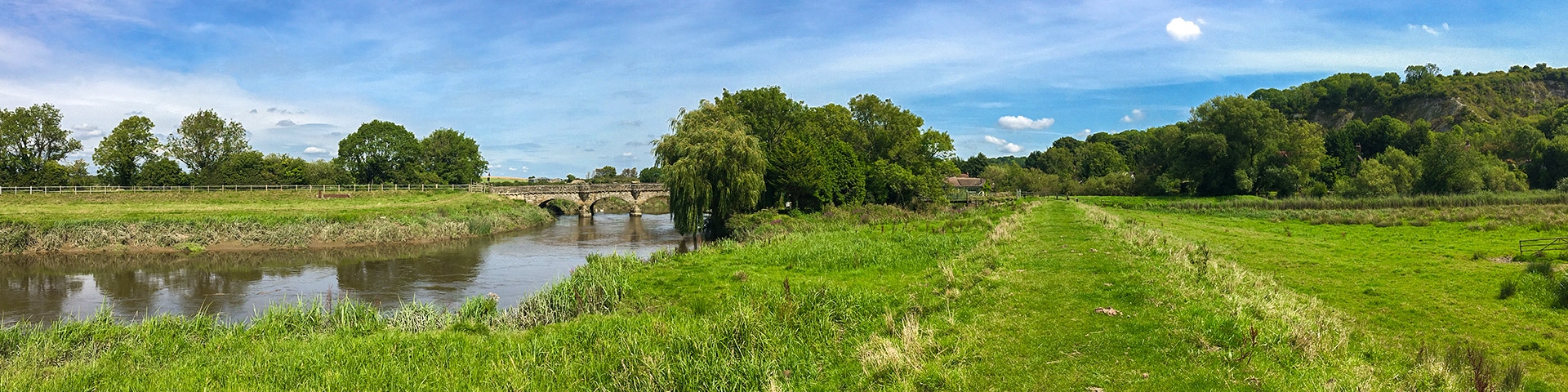
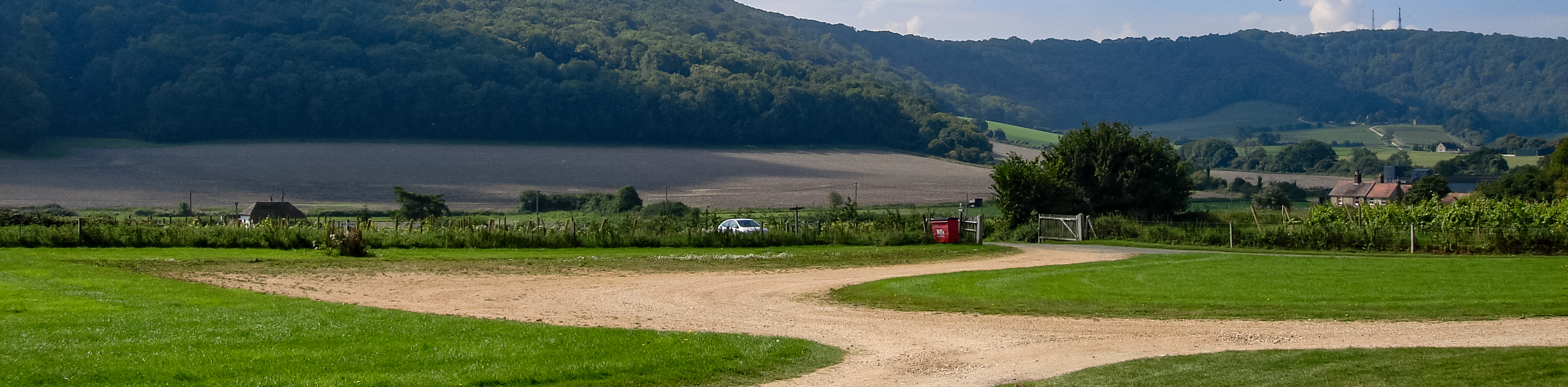
Walking along the River Arun and then through Amberley is one of our favourite walks in the South Downs. This fantastically varied hike starts by walking alongside the river Arun, before trekking through the historic village of Amberley. It then hikes steeply uphill near Amberley Mount, for incredible views of the surrounding South Downs.
Getting there
If driving, use postcode BN19 9LR, and park in the free station car park at Amberley Station. Regular trains run directly to Amberley from London Victoria and the surrounding areas.

About
| When to do | Year round |
| Backcountry Campsites | No |
| Toilets | Yes, in Glynde village |
| Family friendly | No |
| Route Signage | Average |
| Crowd Levels | Low |
| Route Type | Circuit |
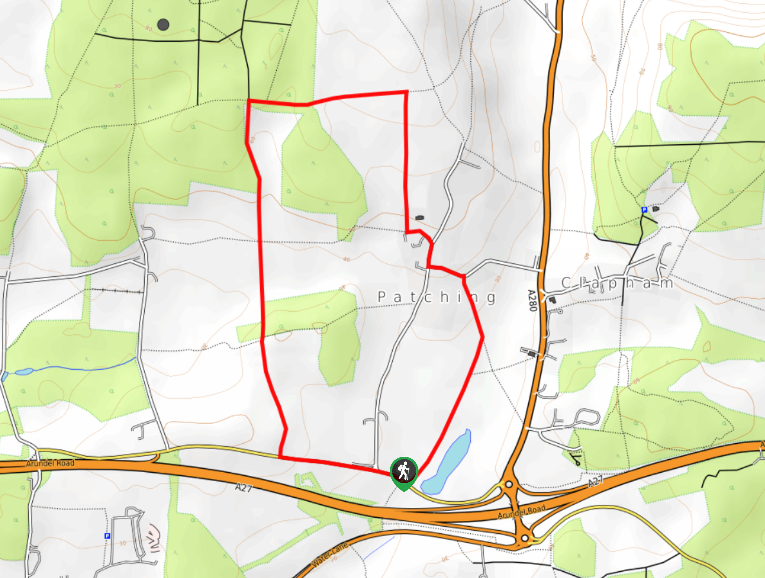
Amberley and the River Arun
Elevation Graph
Weather
Route Description for Amberley and the River Arun
Exit Amberley station and turn right to cross the road safely. Turn left alongside the road, under the railway bridge and then across the road bridge over the River Arun. Small alcoves on the bridge allow you to walk with safety.
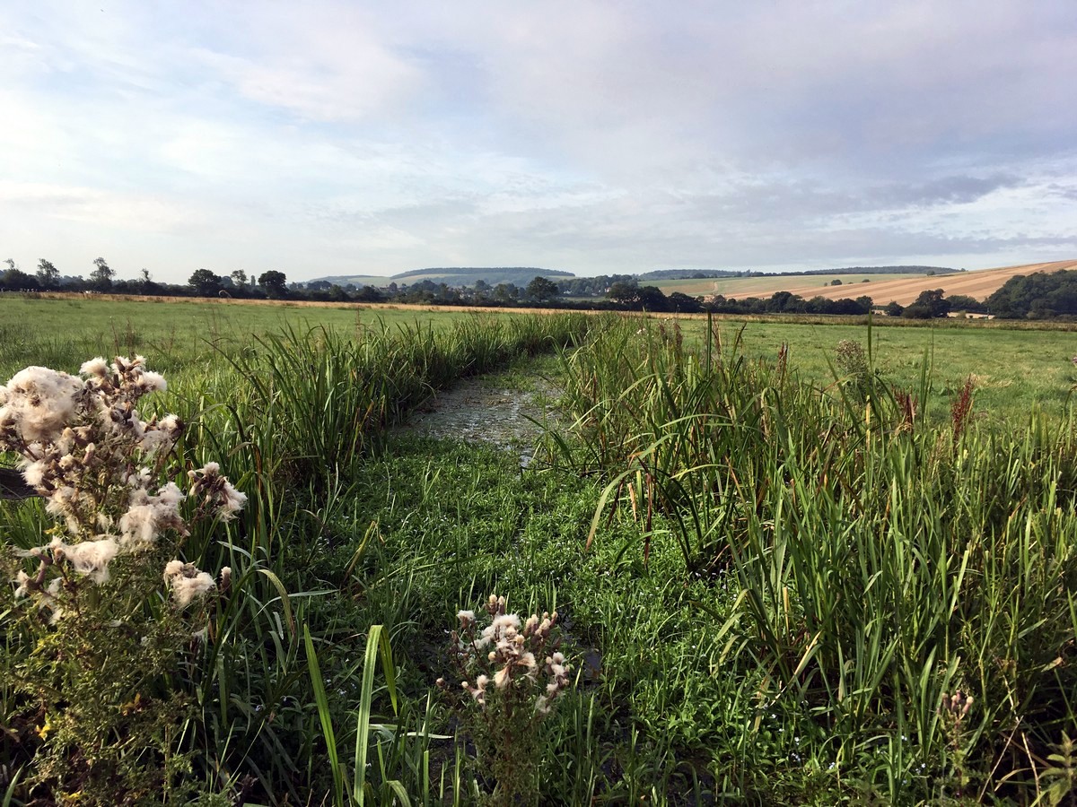
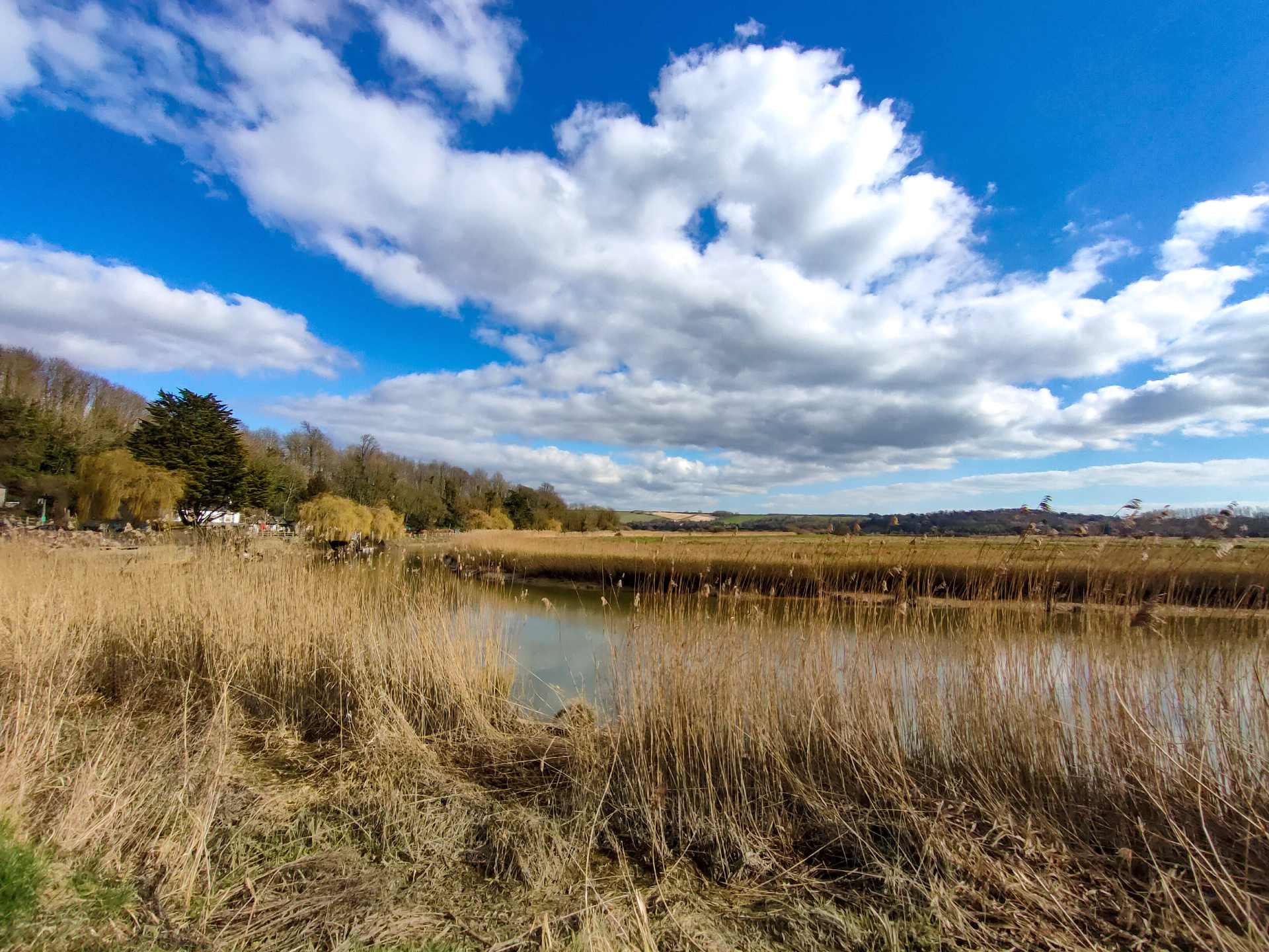
At the end of the bridge pass through the gate on your right and follow the elevated trail along the river bank for a mile, turning left at the next bridge. Stay on this path until you until you see Bury Church on the opposite bank.
Shortly after passing the church, turn right, down the embankment and between two short wooden fences. Follow this trail, with a drainage channel on your left, and the church now directly behind you. The trail curves to the right and shortly afterwards you can turn left to cross the channel.
Walk directly across the marshy field in front of you, climb over the stile and follow the trail diagonally left across the next field. Cross another stile and continue directly ahead of you.
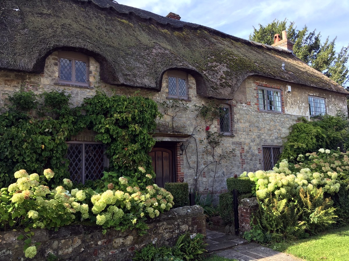
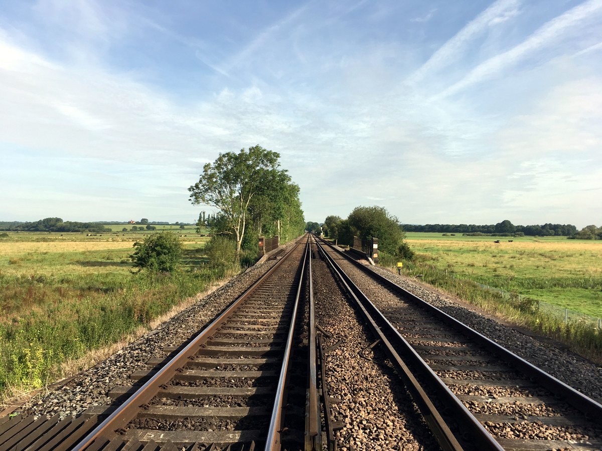
Follow this trail over the railway, past the castle wall and into Amberley village. Head down Church Street in Amberley.
At the village T-junction turn right and follow the footpath to the main road. (Note that if you wanted to get to the Amberley Village Store you can go left at the T-intersection. Past the Village Store, and right along road is the excellent Sportsman Inn).
From the T-junction you are walking down School Road. You soon come to the B2139, which you cross over and walk directly up the lane opposite, called Mill Lane, but not sign posted.
At the top of the lane converge with the road that joins from the right and shortly afterwards turn left into the woods between two wooden barriers, onto the South Downs Way.
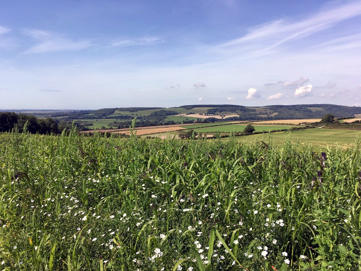
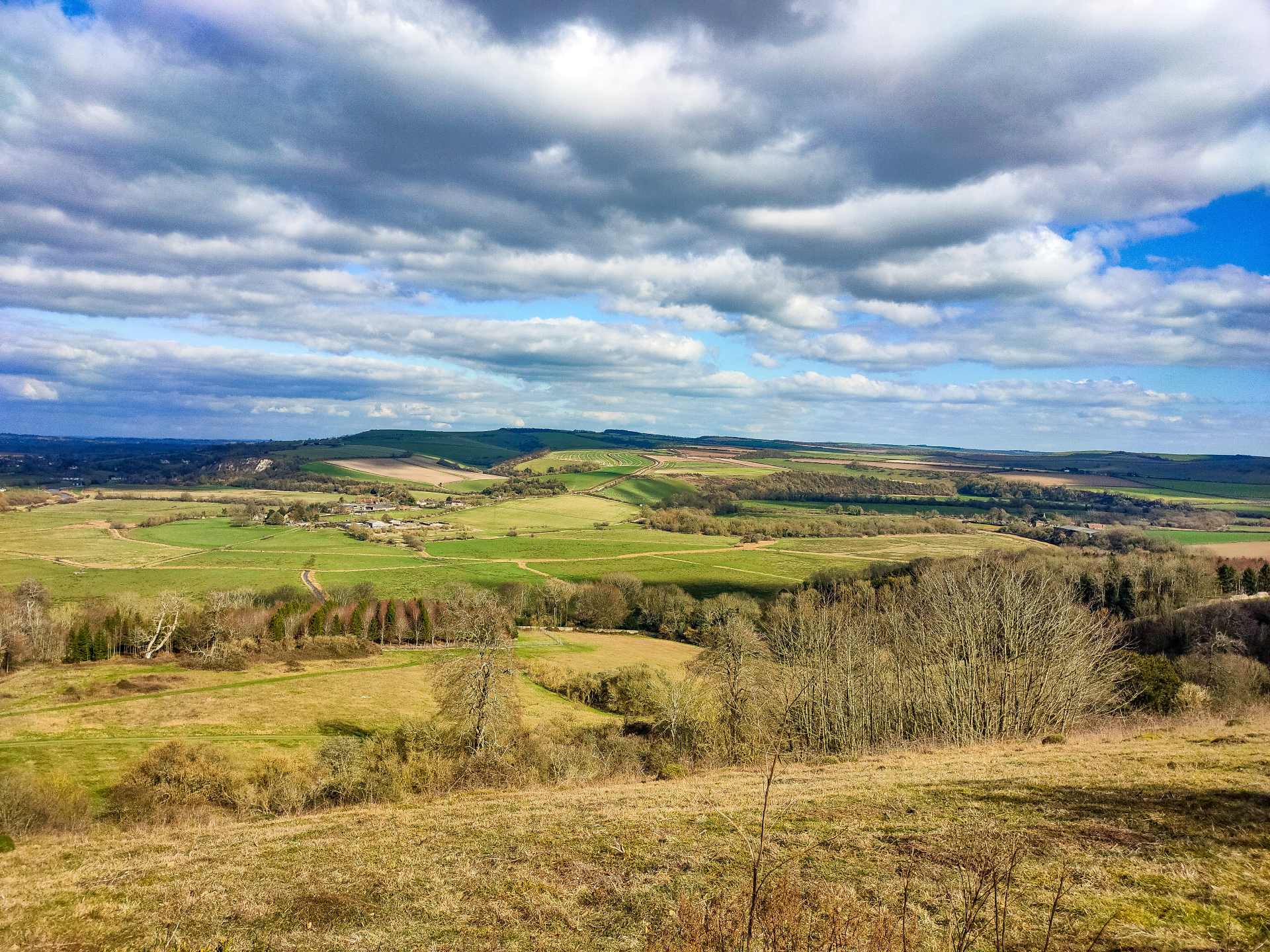
Pass through the gate and continue uphill on the narrow stony trail. When you reach the farm admire the views behind you and then follow the wide track that curves around to the right, leaving the South Downs Way behind.
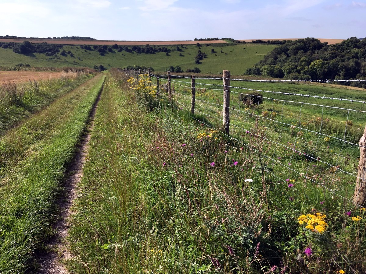
At the first fork in this path go right, following the grassy trail along the right-hand field edge for half a mile, all the way to the very bottom of what becomes a steep slope.
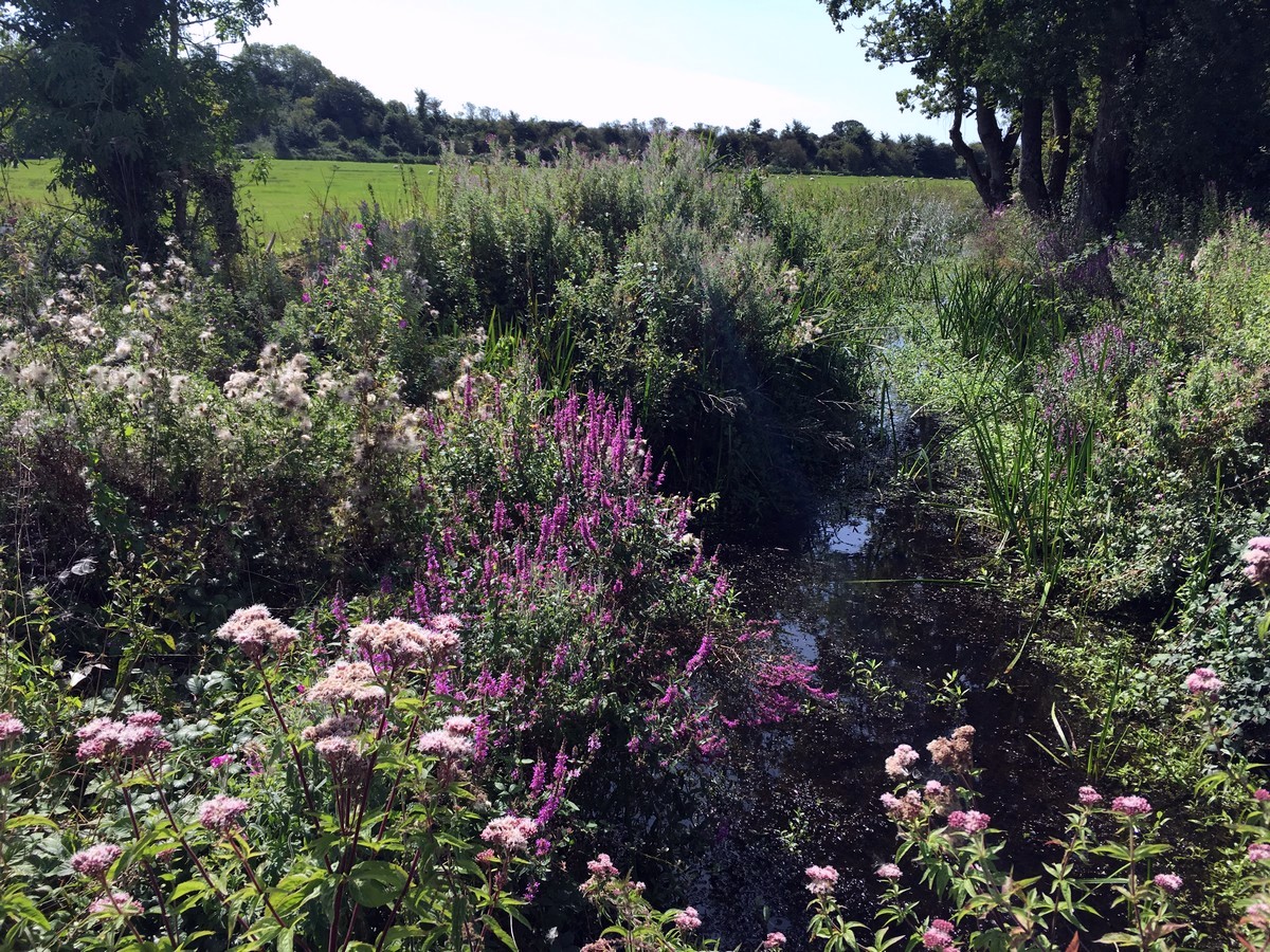
Pass through the gate on the right and follow the trail diagonally left back up the slope directly in front you. There are abundant wild flowers to be seen here in spring and early summer.
At the top of the slope cross over a trail and continue to walk straight ahead along the left-hand side of the field. Here you can catch your first glimpse of the impressive Arundel Castle in the distance.
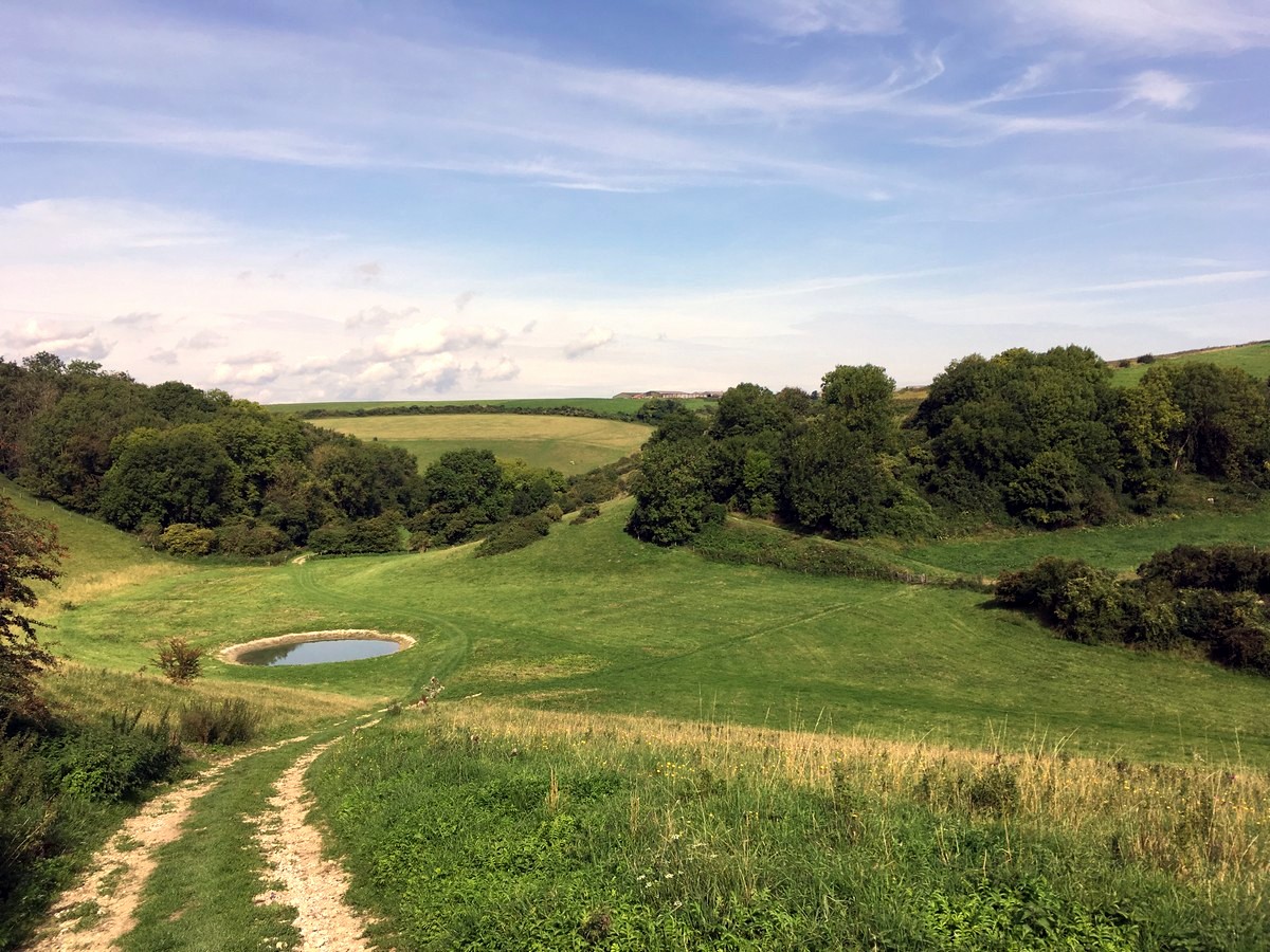
At the end of the field head into the woods and take the trail slightly downhill to the right, waymarked Public Footpath, which soon exits the woods. Turn right onto the public bridleway, left at the fork shortly afterwards and then left again to merge with the converging chalk track.
After almost 0.5mi, when the tall hedgerow ends and you see a large metal gate, turn right, down the narrow trail with trees on each side. The trail descends steeply down-hill via small steps, when you reach the bottom cross over the stile and turn left onto the grassy bridle way.
Continue on this trail until you reach a large track and a stile on your right. Cross the stile and follow the trail between two fields. Cross the stile on the other side and then turn right into the woodland and follow this narrow, sometimes overgrown, trail all the way until you reach another stile to cross over.
Turn left onto the bridleway, through the gate, and straight ahead across the field in front of you. The trail eventually curves to the right and exits the field through the gate in the corner.
Turn left onto the track at the top and right at the fork shortly afterwards. Follow the trail straight ahead, crossing over another trail and through the gap in the hedge. Turn right when you reach Stoke Road and then left onto a narrow trail, shortly after passing the house.
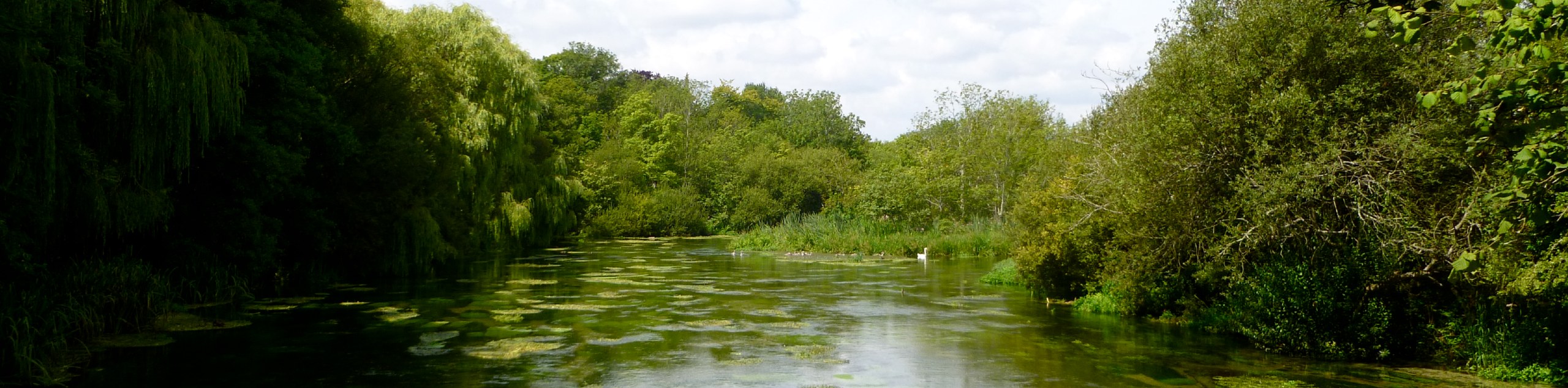
Cross over the next stile and turn right, walking alongside the river, back towards the bridge the trail crossed at the start. Cross over the stile and footbridge on the left, then cross another stile to reach the road and return to Amberley station.
Insider Hints
If you’ve got more than one day the 8.5mi Arundel Castle and Pubs hike is a fabulous trail that starts in nearby Arundel.
Right next to the station, the Amberley Museum and Heritage Centre, has some fantastic exhibits including a restored bus and train to transport you around the site.
The Gumber Bothy bunk barn and camping is a national trust site, situated just off the South Downs way. There’s toilets, showers, dorms and a kitchen, but pack light as the nearest car park is 2.0mi away at Bignor Hill or Northwood.

Similar hikes to the Amberley and the River Arun hike
Avington and Ovington Walk
Meander through lovely countryside fields and across bridges leading you over rivers carved into the stunning South Downs landscape on…
Amberley Wild Brooks Walk
The Amberley Wild Brooks and Bignor Roman Villa Walk offers a special mix of views, wildlife and history. The George…
Worlds End and Patching Circular Walk
The Worlds End and Patching Circular Walk is a great path for the whole family, thanks to the gentle gradient…
rosie carne 4 years ago
It was a nice walk and fairly enjoyable, we loved the river and climbing for the views. We did the walk in September and coming down the tricky steps and walking through the overgrown woodland path was awful, it really put a downer on what had been enjoyable up until then. Granted I had a baby in the sling but afterwards looking on OS map we could’ve cut out the overgrown woodland bit and we would’ve enjoyed it more. We cut out last bit going along the river and walked up road because by then we were desperate to get to car
JJenkins 4 years ago
Trekking in Amberley is actually awesome, it offers incredible views and some challenge!
Allbitenobark 4 years ago
The trail mas marvelous, we admire the pleasant flocks of wild flowers along the way.
skywalker786 4 years ago
I really appreciate the tranquility of the woodlands. They only add up to the scenic views. It's perfect for soul searching when you're feeling a little lost in life.
Avamichelle82 4 years ago
One of my favorite walks in South Downs! Absolutely wonderful! It's simply perfect for taking artistic nature shots.
Mr Dean 4 years ago
There are plenty of things to see here. The serene surroundings are also calming.
Reecewill178 4 years ago
Amberley is an incredible village, I fancy the hike along the river as well!
Sarah Potts 4 years ago
The perfect walk! An excellent mix of greenery, sweeping landscapes! Lovely!
Teresita 4 years ago
Idyllic place for relaxation!
SnowdonLover 4 years ago
This walk has stunning views over the Amberley brooks and the River Arun. Refreshments are available at Amberley.