Buriton to Cocking Walk
View Photos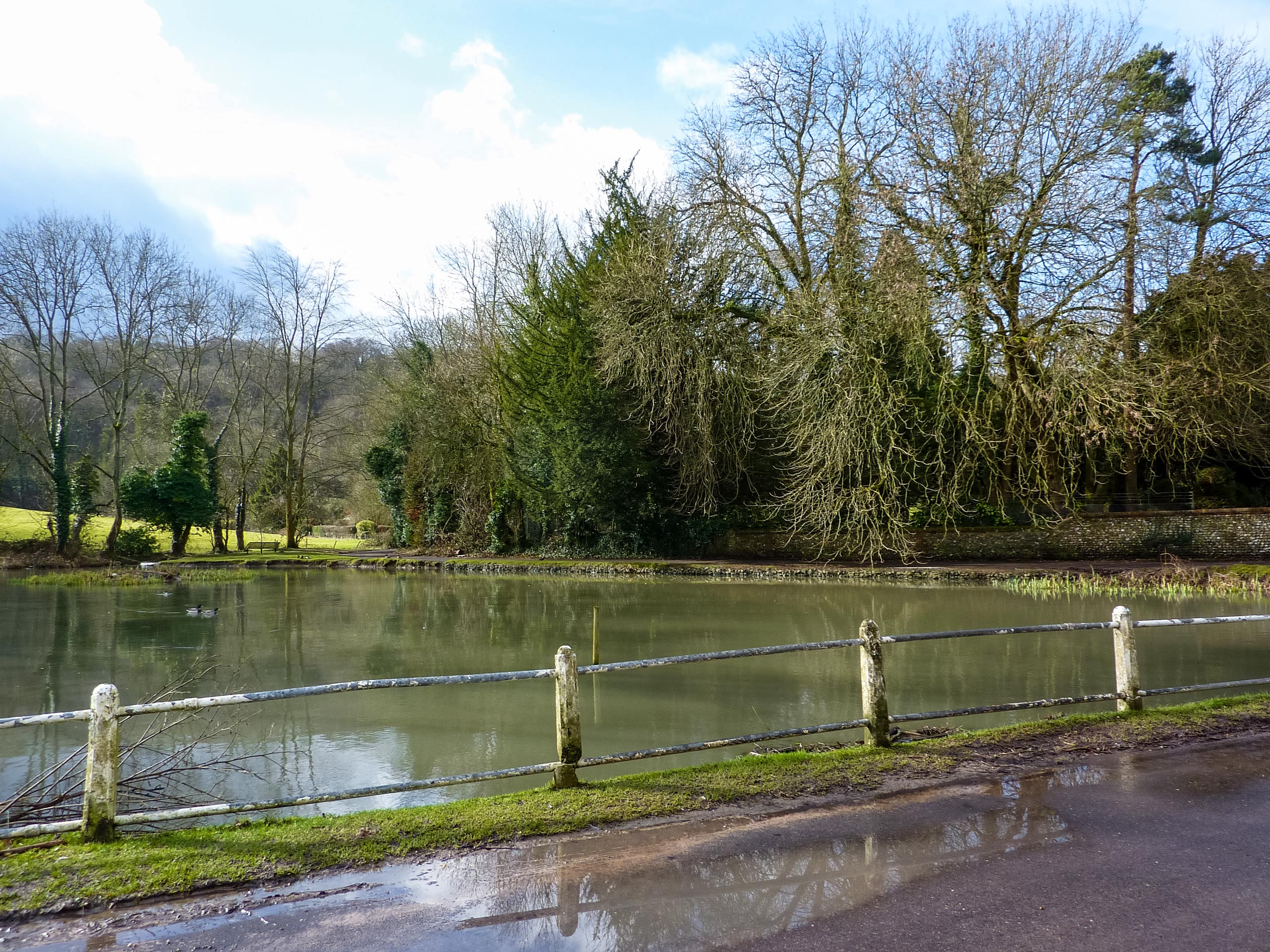
Buriton to Cocking Walk
Difficulty Rating:
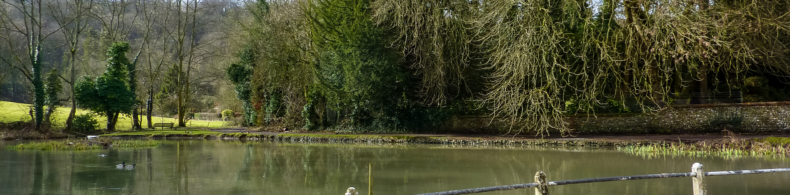
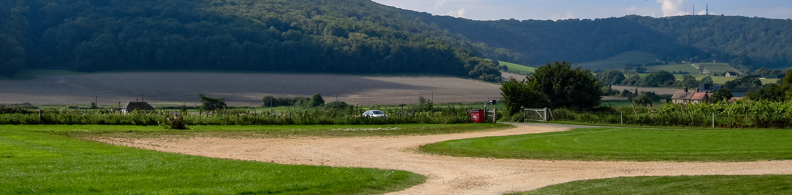
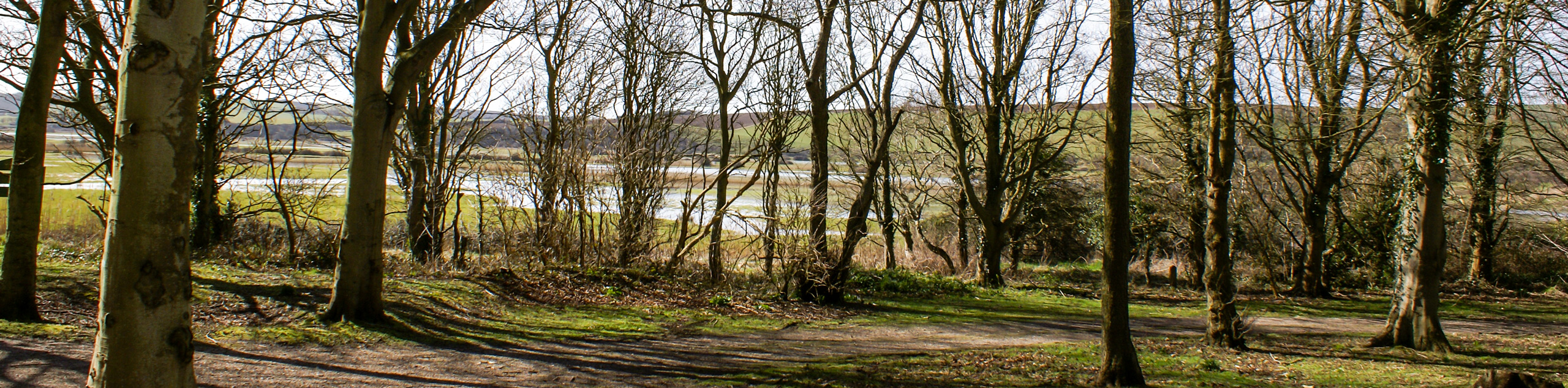
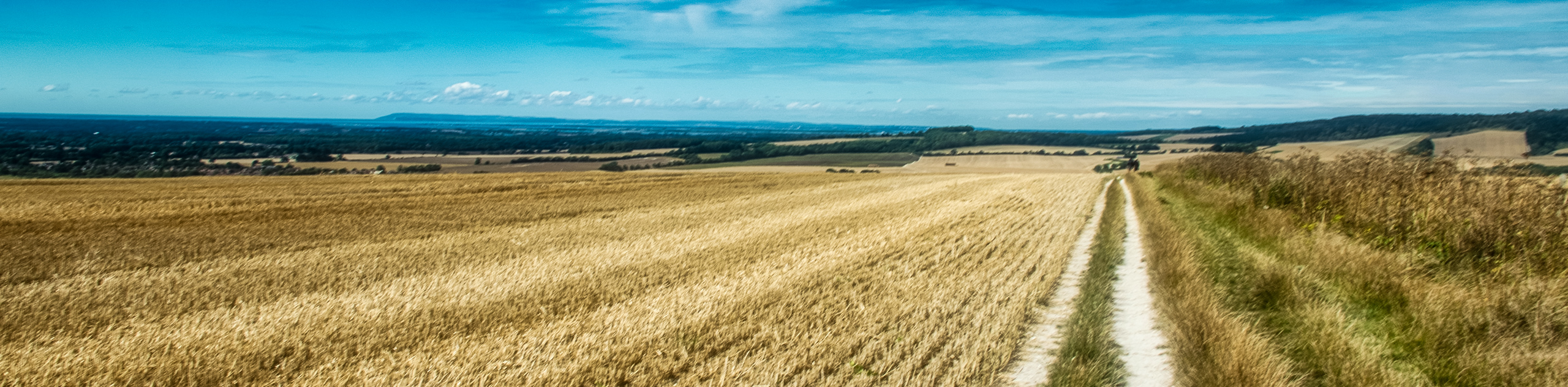
The Buriton to Cocking Walk is a captivating stroll along the countryside. It boasts stunning views of South Downs National Park, and in the spring and summer months, you can enjoy the vibrant wildflowers that blanket this area. Buriton Chalk Pits Quarry is at the beginning of this walk and is something that you should not miss.
Getting there
To get to the Buriton to Cocking Walk from Petersfield, head south on Tilmore Road toward Station Road. Take B2070 to Greenway Lane and, in 2.4mi, follow Greenway Lane to Glebe Road in Buriton. You will arrive at your destination in 0.7mi.

About
| When to do | May - September |
| Backcountry Campsites | No |
| Pets allowed | Yes |
| Family friendly | No |
| Route Signage | Average |
| Crowd Levels | Moderate |
| Route Type | One Way |
Buriton to Cocking Walk
Elevation Graph
Weather
Buriton to Cocking Walk Description
The Buriton to Cocking Walk takes you along a beautiful path that differs from most other places in South Downs National Park. You will begin climbing up a small hill along a lane and travel through heavily forested areas, where you will be rewarded with breathtaking views of the South Downs National Park that lays below. Along this path, you will be met with vibrant wildflowers during the spring and summer months. The Buriton Chalk Pits Quarry is where you begin this walk, and it is well worth a visit before heading on your one-way walk. You can also make a small detour and head to the Devil’s Jumps.
Similar hikes to the Buriton to Cocking Walk hike
Amberley Wild Brooks Walk
The Amberley Wild Brooks and Bignor Roman Villa Walk offers a special mix of views, wildlife and history. The George…
Friston Forest Walk
The Friston Forest Walk is a beautiful, pet-friendly walk. Take in the stunning, rolling hill views of the surrounding English…
Trundle and Devils Humps Walk
Take in the stunning views of Solent and Isle of Wight that can be seen in the distance. Another wonderful…
Comments