Amberley to Steyning Walk
View Photos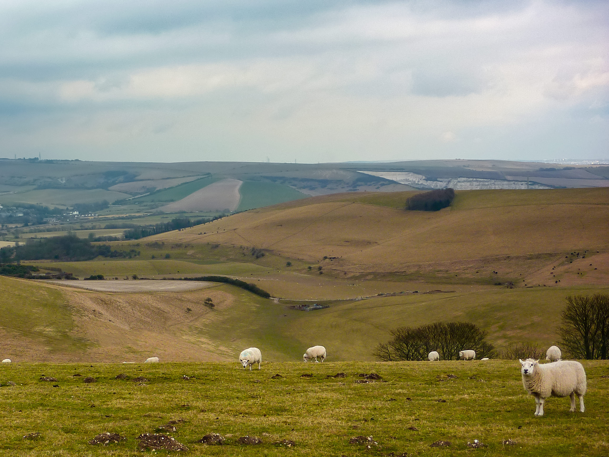
Amberley to Steyning Walk
Difficulty Rating:
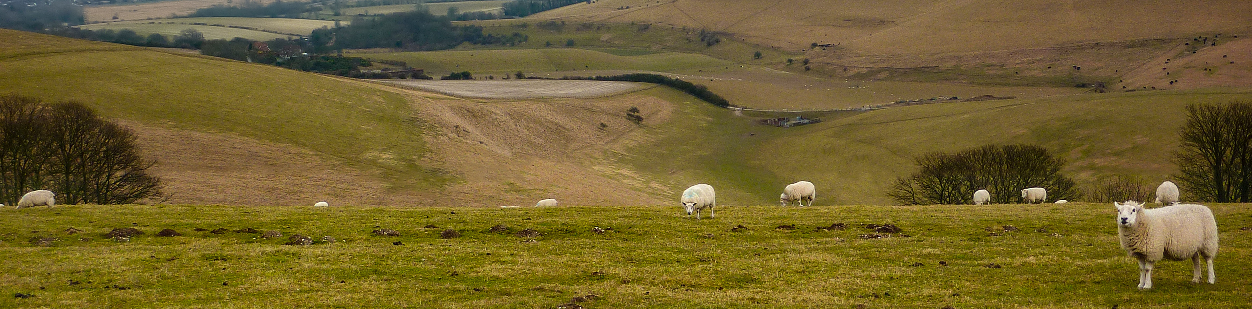
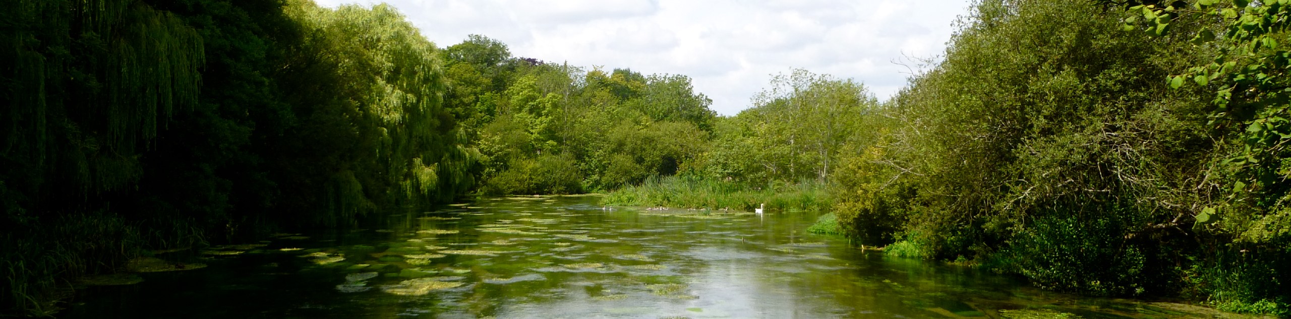
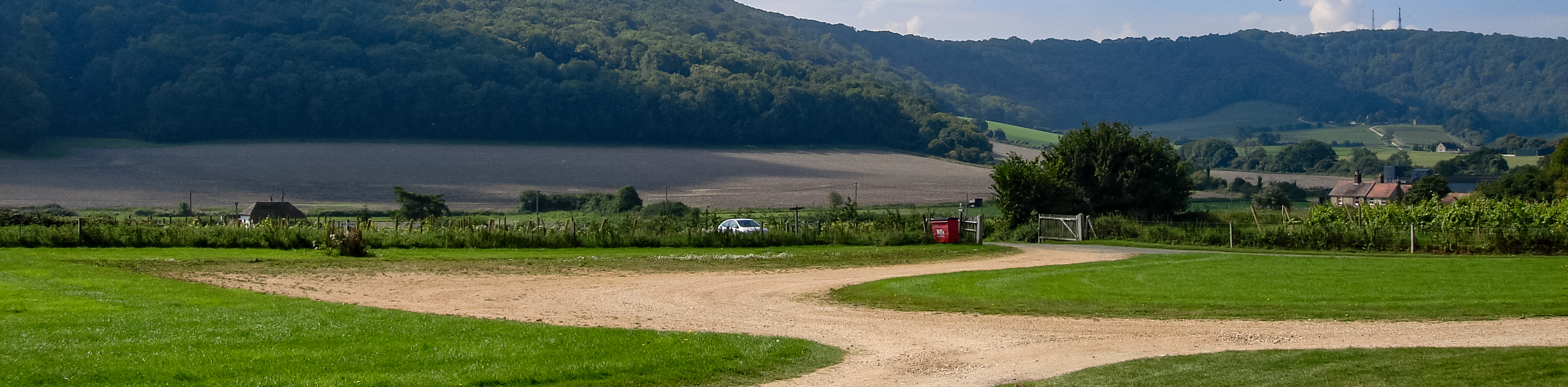
The Amberley to Steyning Walk is one of the most stunning walks included in the South Downs National Park. Take in the views as you pass over Chantry Hill and explore the Chanctonbury Ring. You will also wander through a few Dew Ponds along the way, and will finish your walk at the end with views of the River Adur and Brighton skyline.
Getting there
To get to the Amberley to Steyning Walk from Arundel, head southeast on High Street toward Maltravers Street and turn right. At the roundabout, take the 4th exit onto Arundel Bypass/A284 and in 2.6mi, at Whiteways Lodge Roundabout, take the 3rd exit onto B2139. Turn right onto Mill Lane an arrive at your destination.

About
| When to do | April - September |
| Backcountry Campsites | No |
| Pets allowed | Yes |
| Family friendly | No |
| Route Signage | Average |
| Crowd Levels | Moderate |
| Route Type | One Way |
Amberley to Steyning Walk
Elevation Graph
Weather
Amberley to Steyning Walk Description
The Amberley and Steyning Walk is a captivating stroll through the stunning South Downs National Park. As you wander along the path, you will come across beautiful views and places, such as Chantry Hill and the Chanctonbury Ring. As you continue to walk along the path, you will also be able to take in views of a few Dew Ponds along the way, and at the end of your walk, you will be able to explore the River Adur and take in the Brighton skyline. This is a one-way walk, so be sure to have transportation organized to get back to your vehicle.
Similar hikes to the Amberley to Steyning Walk hike
Avington and Ovington Walk
Meander through lovely countryside fields and across bridges leading you over rivers carved into the stunning South Downs landscape on…
Amberley Wild Brooks Walk
The Amberley Wild Brooks and Bignor Roman Villa Walk offers a special mix of views, wildlife and history. The George…
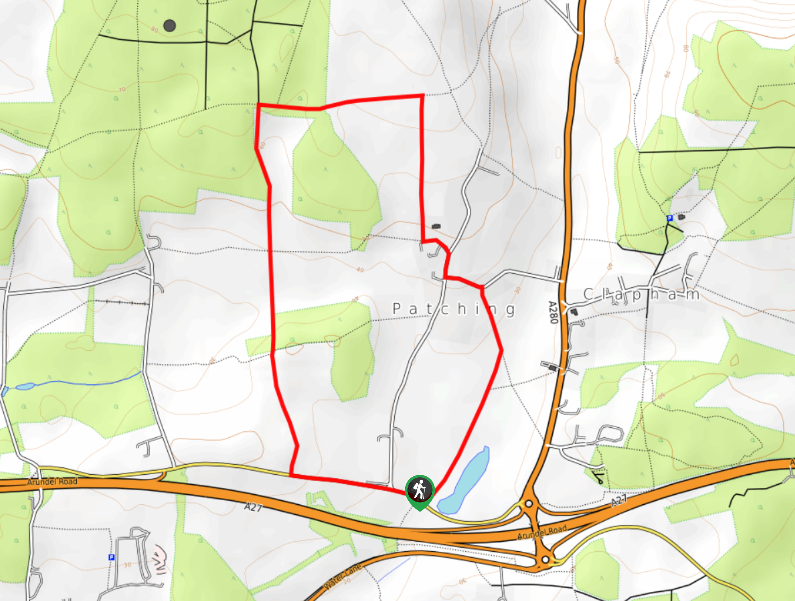
Worlds End and Patching Circular Walk
The Worlds End and Patching Circular Walk is a great path for the whole family, thanks to the gentle gradient…
Comments