Blackdown Walk
View Photos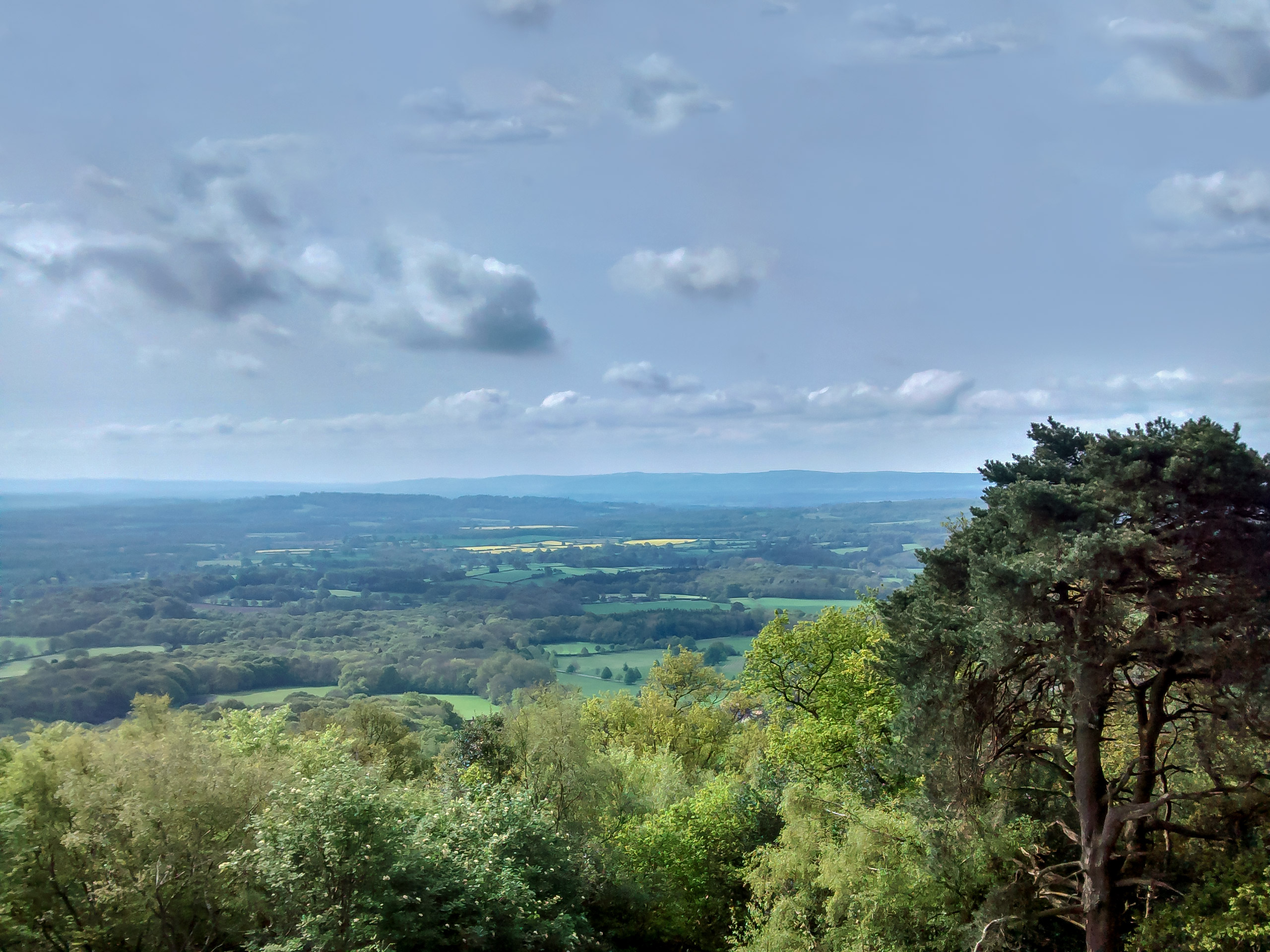
Blackdown Walk
Difficulty Rating:
The Blackdown Walk follows a stunning path that showcases the beauty of the English countryside in the spring. Wander through fields draped with bluebells and purple bilberries and take in the sights from the top of the hillside of West Sussex sitting below.
Getting there
To get to the Blackdown Walk from the Red Beeches Fishery, head South on Fernden Lane, and after 0.4mi, turn left. In 0.2mi, you will arrive at your destination.

About
| When to do | Year round access |
| Backcountry Campsites | No |
| Pets allowed | Yes - On Leash |
| Family friendly | No |
| Route Signage | Average |
| Crowd Levels | Moderate |
| Route Type | Circuit |
Blackdown Walk
Elevation Graph
Weather
Blackdown Walk Description
Some areas of the Blackdown walk are quite muddy most times of the year due to the shade they sit in and the dips in the path. Make sure to wear appropriate footwear and take care with your dog if you bring one, as cows are seen at different times of the year grazing in the meadows.
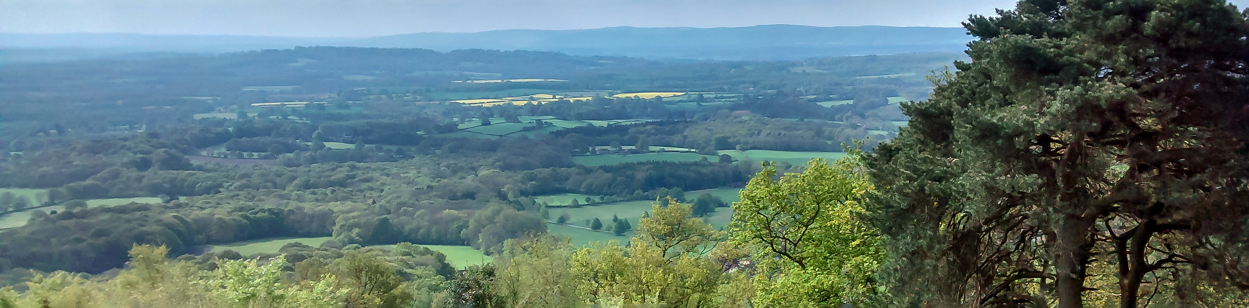
This walk takes you through gorgeous meadows that are full of wildflowers in the spring and summer months, and part of the path sits on top of West Sussex, casting stunning views of the city below. This is a great choice if you are looking for a bit of a workout, as the path undulates throughout.
Beginning at the Haslemere rail station, follow the path until you reach the woodlands. You will arrive at a “T” junction, head left and head back into the woodlands. As you continue, you will come across a kissing gate among the grassy field, go through this, and you will reach open meadows. Continuing from here, you will pass through areas blanketed with purple bilberries and bluebells.
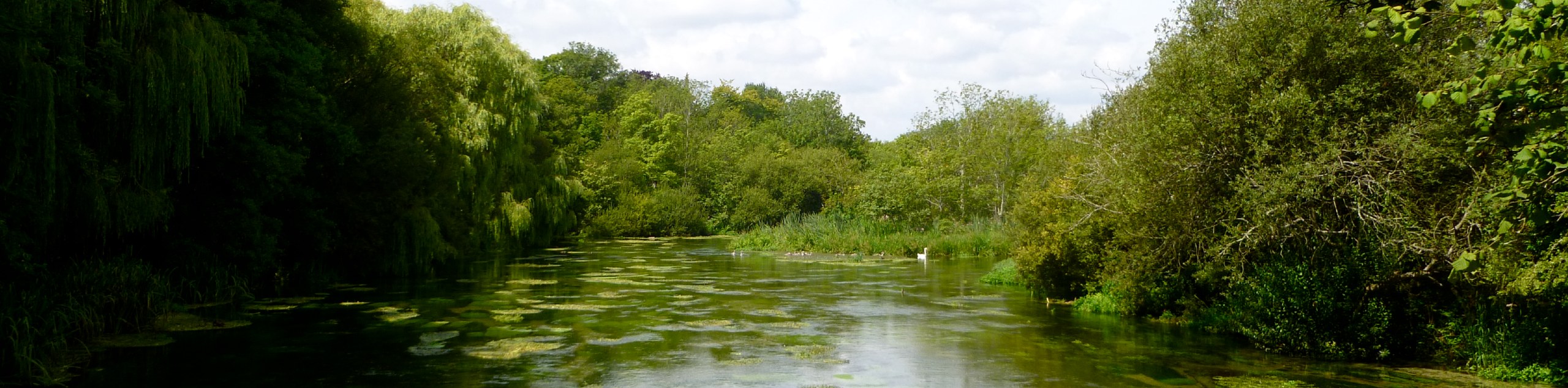
You will then come across a pool, which is the only source of water along this path, and then take the small and narrow path that looks as if it is for herding sheep. Follow this path through the trees for some time.
Continue following the path, and you will come across the main highlight of the walk, Blackdown. This is the highest hill in all of Sussex and the South Downs National Park. When you are finished taking in these beautiful views, continue to loop around the path back to where you began at the Haslemere rail station.
Insider Hints
For a longer walk, begin at the Haslemere rail station, however, if you are looking for a shorter walk, begin at the car park at the end of Tennyson’s Lane.
Wear appropriate footwear as this walk can get muddy
Head to Guido’s craft pizza for a bite after your walk
If you want to spend more time in this area, the Noah’s Ark Inn has beautiful rooms
Similar hikes to the Blackdown Walk hike
Avington and Ovington Walk
Meander through lovely countryside fields and across bridges leading you over rivers carved into the stunning South Downs landscape on…
Amberley Wild Brooks Walk
The Amberley Wild Brooks and Bignor Roman Villa Walk offers a special mix of views, wildlife and history. The George…
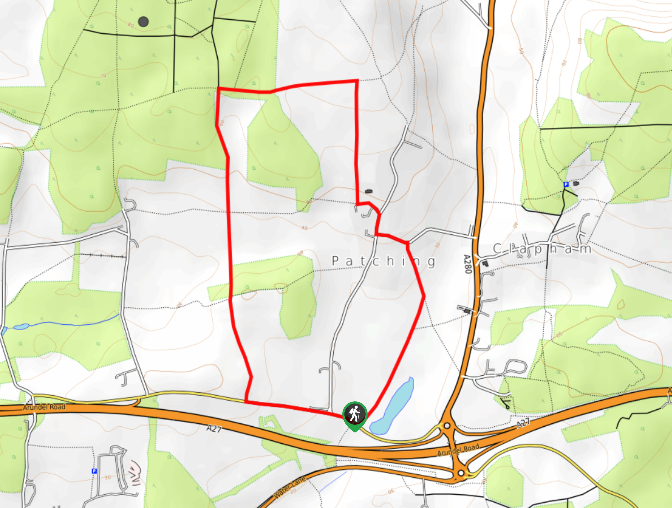
Worlds End and Patching Circular Walk
The Worlds End and Patching Circular Walk is a great path for the whole family, thanks to the gentle gradient…
Comments