Bignor Hill and Upwaltham Hill Walk
View Photos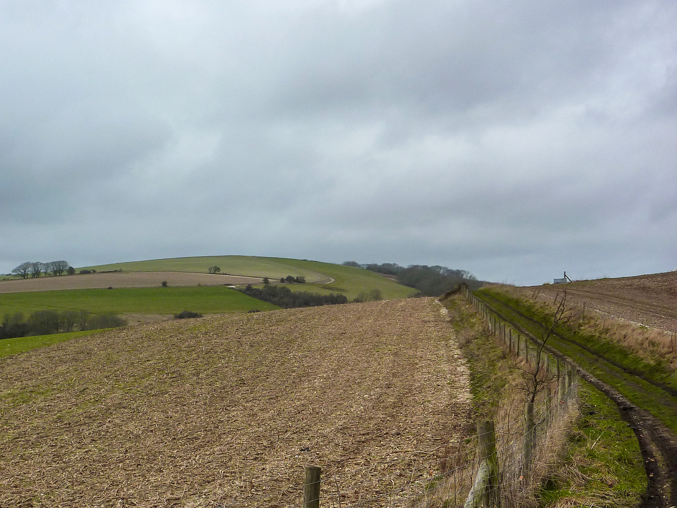
Bignor Hill and Upwaltham Hill Walk
Difficulty Rating:
The Bignor Hill and Upwaltham Hill Walk is a lovely stroll that showcases captivating views of the South Downs National Park. You also will follow the Monarch’s Way, which was used in 1651 by King Charles II to escape the defeat they faced in the battle of Worcester. You will wander through fields filled with livestock and will navigate several gates and a stile.
Getting there
To get to the Bignor Hill and Upwaltham Hill Walk from Petworth, follow A285 and Burton Park Road for 3.3mis and then follow the road signs for 3.3mi. You will then arrive at your destination.

About
| When to do | April - October |
| Backcountry Campsites | No |
| Pets allowed | Yes |
| Family friendly | Yes |
| Route Signage | Average |
| Crowd Levels | Moderate |
| Route Type | Lollipop |
Bignor Hill and Upwaltham Hill Walk
Elevation Graph
Weather
Bignor Hill and Upwaltham Hill Walk Description
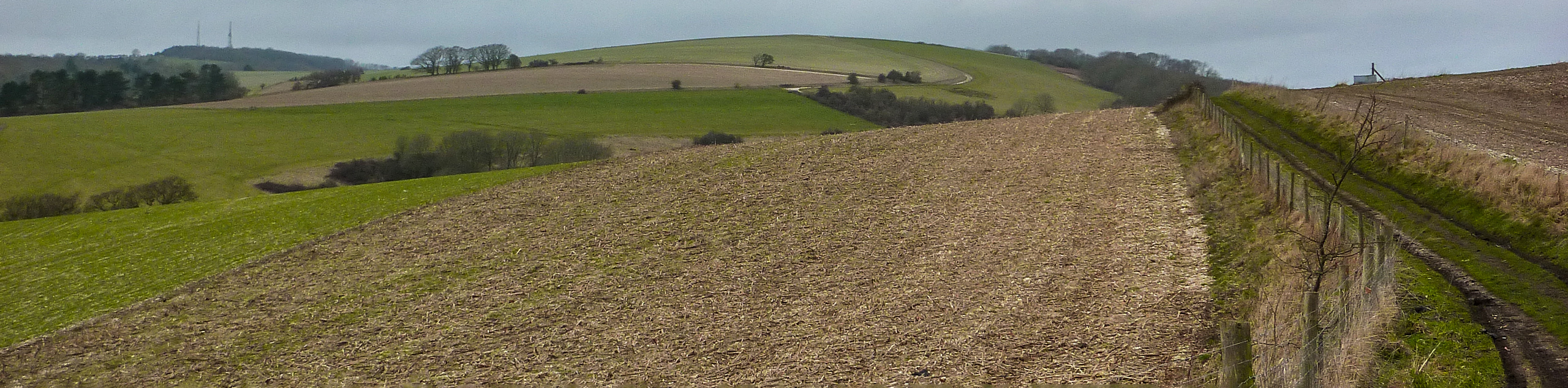
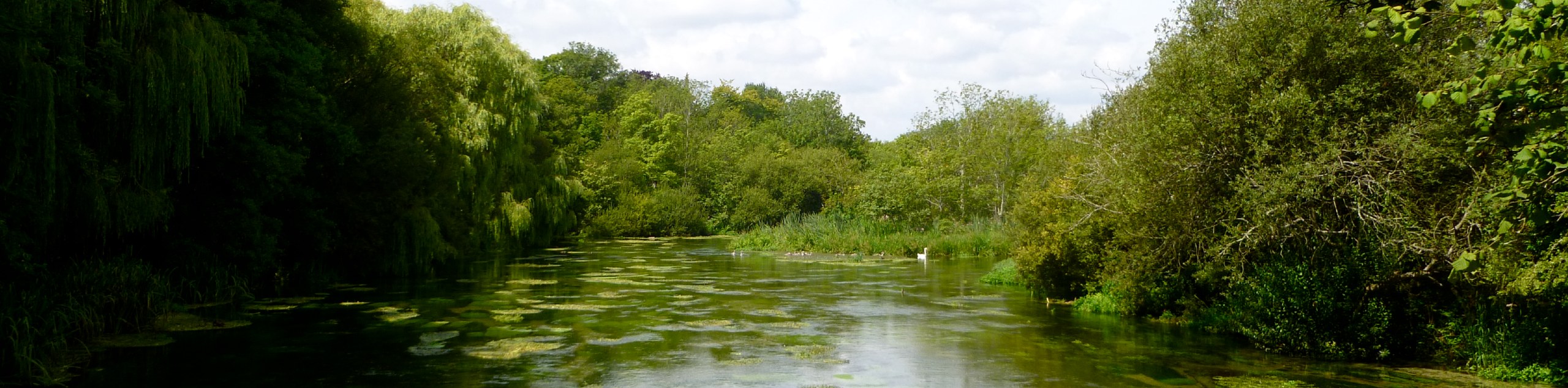
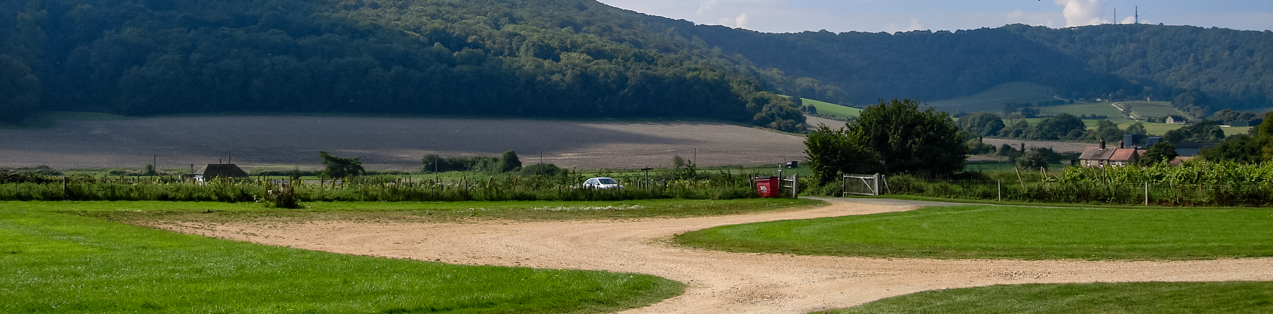
The Bignor Hill and Upwaltham Walk is a beautiful stroll along the English countryside that boasts gorgeous views of South Downs National Park. Beginning in the parking area, follow the path until you reach the South Downs Way at a five-finger post and here you will be able to see incredible scenery. As you continue to follow the path, you will come across another area that showcases more expansive views of the South Downs National Park. Moving on, you will come across parts of the path that will take you on a nice stroll through the woods, and you will find yourself coming to the Monarchs Way.
Continue along here and take in the history that this area is known for. You will pass a few gates and a stile and begin climbing a steady hill, and then you will arrive back at the entrance that you began at, as this is a circular walk.
Similar hikes to the Bignor Hill and Upwaltham Hill Walk hike
Avington and Ovington Walk
Meander through lovely countryside fields and across bridges leading you over rivers carved into the stunning South Downs landscape on…
Amberley Wild Brooks Walk
The Amberley Wild Brooks and Bignor Roman Villa Walk offers a special mix of views, wildlife and history. The George…
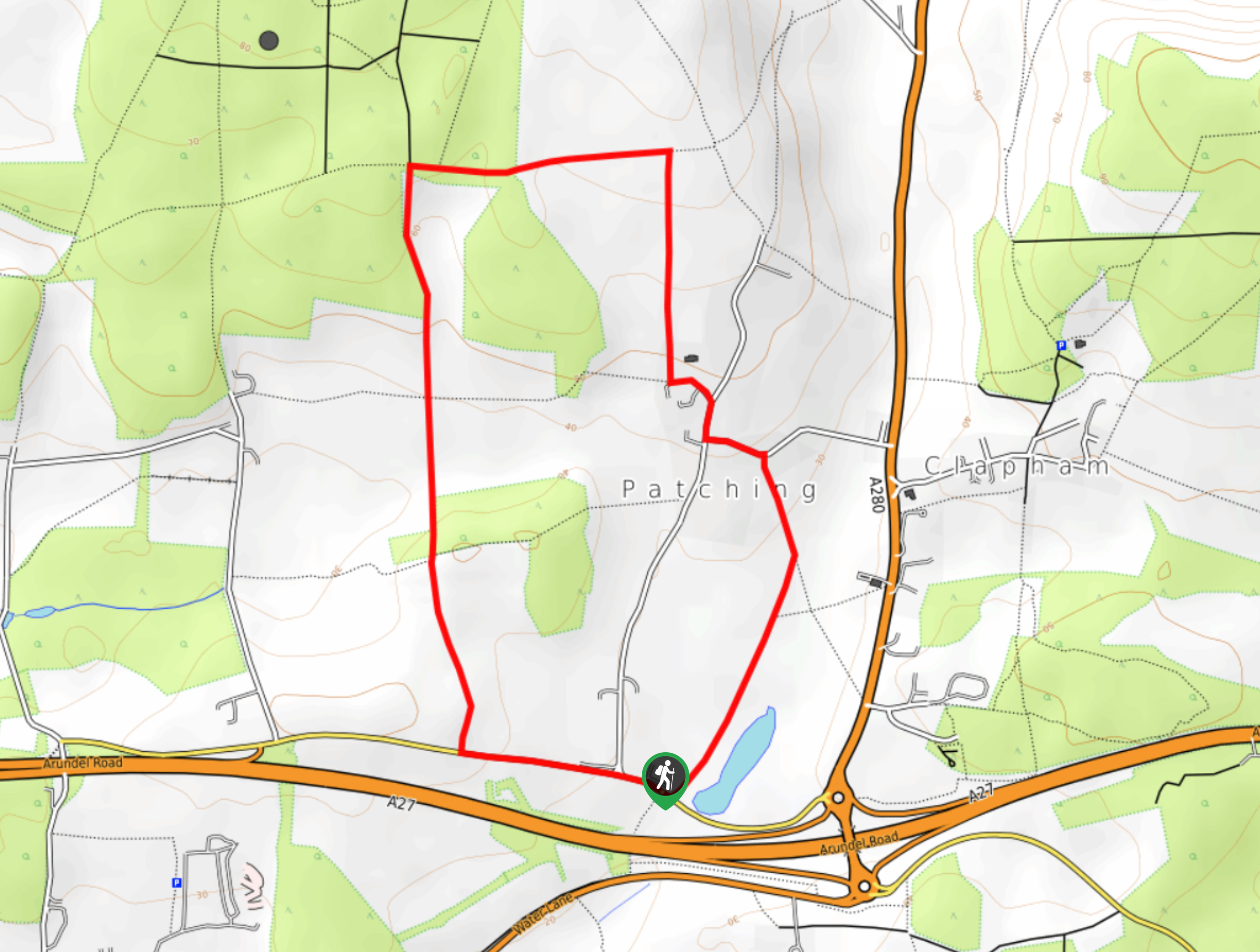
Worlds End and Patching Circular Walk
The Worlds End and Patching Circular Walk is a great path for the whole family, thanks to the gentle gradient…
Comments