Marin Trail
View Photos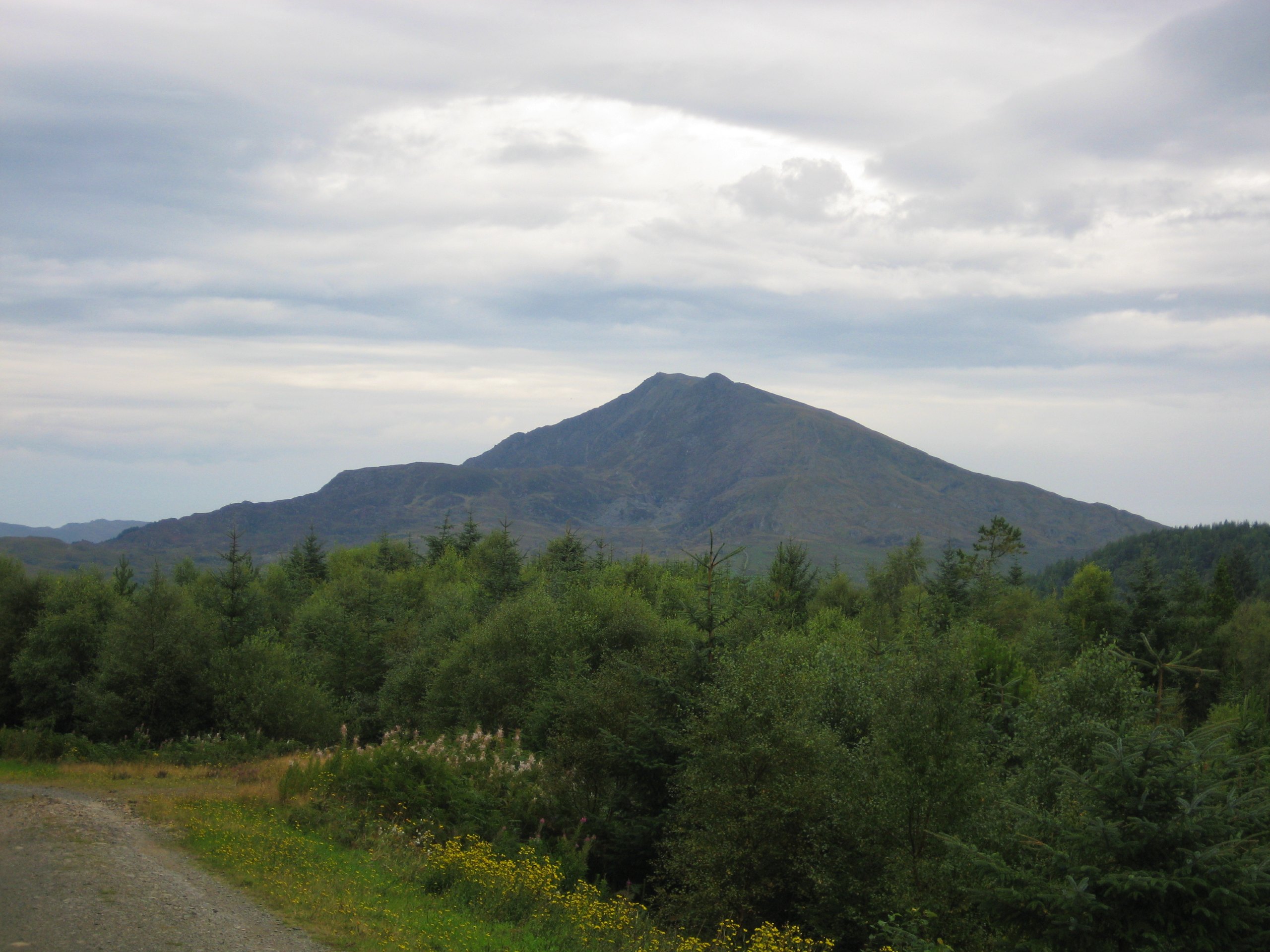
Marin Trail
Difficulty Rating:
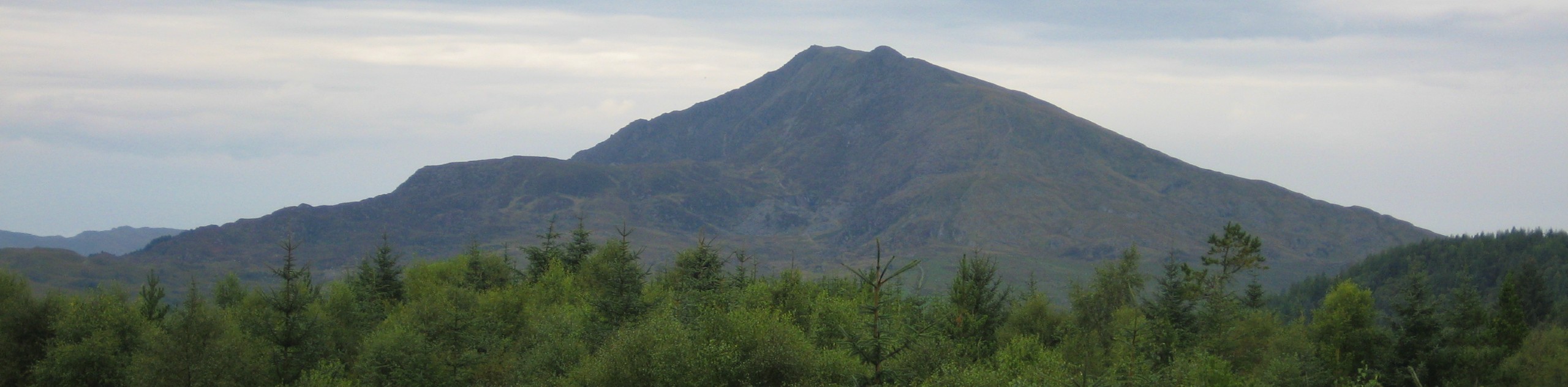
The Marin Trail is a brilliant route through the Gwydir Forest, often used for mountain bikes but excellent to explore on foot as well. It’s easily accessible from the town of Llanrwst, just across the River Conwy, and its many winding paths provide plenty of options. This route starts from the car park at the trail’s northern entrance, gradually ascending as you walk south, then looping around to walk along the serene shores of Llyn y Parc before returning northward through the woods.
Getting there
To get to the Marin Trail, head for the town of Llanrwst. From the A470 running north-south through town, cross west over the River Conwy on the B5106. Where the road splits, turn left then immediately right onto a narrow road heading into the woods. Take your next left to find a car park.

About
| When to do | March-November |
| Backcountry Campsites | No |
| Pets allowed | Yes - On Leash |
| Family friendly | Older Children only |
| Route Signage | Average |
| Crowd Levels | Moderate |
| Route Type | Circuit |
Marin Trail
Elevation Graph
Weather
Marin Trail Description
The Marin Trail – or as it’s now officially called, Gwydir Mawr a Bach – is primarily used as a mountain bike trail. There are plenty of excellent sections for walking, such as the one detailed here. Some paths will only have foot traffic, as the bike route is a single track. However, one must be aware at all times for bikers who will be using the main trail. If bringing your dog along, having them on a lead is imperative.
Set off from the car park through a gate at the end of the road. The main track leads straight ahead, but a footpath branches off to the right. Follow this as it winds east then south through the forest. Pass through the first intersection of paths, then turn right on a wider track to work back northwards. Bear left at the fork, and stay left as the path curves south once more. This is some of the steepest terrain on the walk as you move uphill. At the third fork, stay left again, the path soon turning abruptly to the east. The next fork provides a rather inconsequential choice – both directions meet up after a short circle – the left is a little bit longer.
Don’t take the right turn that meets the end of this circle, but rather the one after it, as you approach the high point of the walk. Take your next left on a nearly direct southern bearing, with Pen Uchaf Gwydyr on your right-hand side. Right at the T-junction to continue south, this section is quite straightforward. After the second track intersection, turn right to approach Llyn y Parc. Another right turn brings you north along the shores of the lake, where you can enjoy lovely views over the long, calm waters. Once you reach the north end of the lake, re-join the track on your right. Stay left at the first fork, then bear right at the second one. Roughly 500 metres later, you’ll spot a footpath snaking off to your left – turn and follow this;.
This footpath bends right, left, then right again, running parallel to the main track as you walk north. As the path follows a long curve to the right, it eventually meets up with the main track – right at the spot you came in on. Turn left on the track to head back through the gate and into the car park.
Insider Hints
If you’re keen for a longer walk, you can follow the signposted Marin Trail along its entire length, approximately 15.5mi. Do remember that this is a mountain bike trail, so you’re likely to come across plenty of riders (or rather, they’ll be coming across you!).
Before you leave, make a quick stop at Gwydir Castle - it’s just on your right as you merge back onto the B5106 road. The manor house dates back to c1500, although fortified structures had existed in this area since the 7th century. The Gardens are lovely - one particular yew tree is said to be older than the castle itself!
Similar hikes to the Marin Trail hike

Foel Goch via Bwlch Tryfan Walk
A walk up Foel Goch via Bwlch Tryfan is an excellent way to take in the iconic beauty of Tryfan…
Moel Wnion from Rachub
Walking up Moel Wnion from Rachub is a superb exploration of the Carneddau’s lower reaches. A gate at the end…
Alltwen to Mynydd y Dref Walk
Alltwen to Mynydd y Dref is a wonderful walk when you’re a bit short on time for Snowdonia’s larger mountains,…
Comments