Harlech to Llandecwyn
View Photos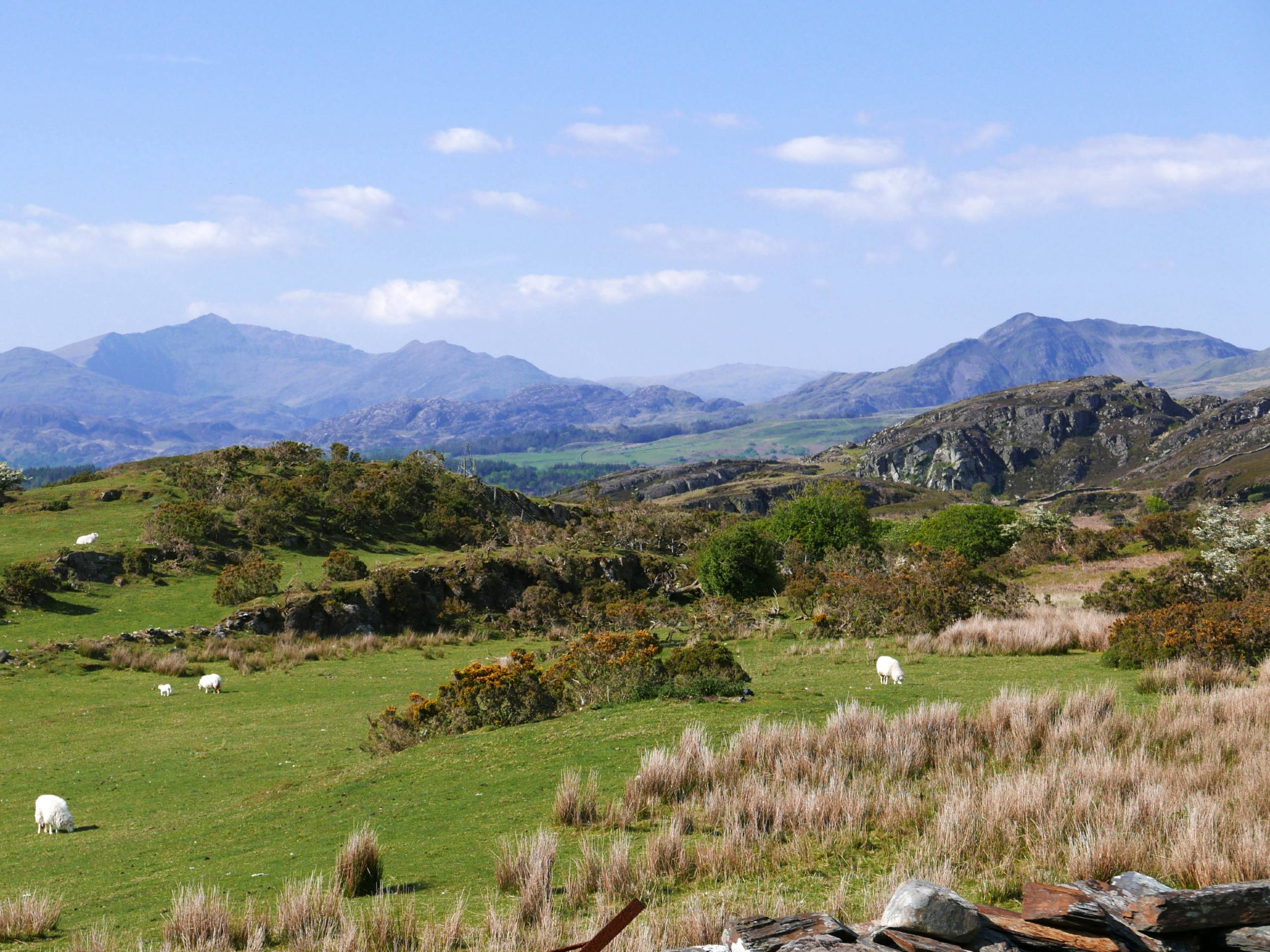
Harlech to Llandecwyn
Difficulty Rating:
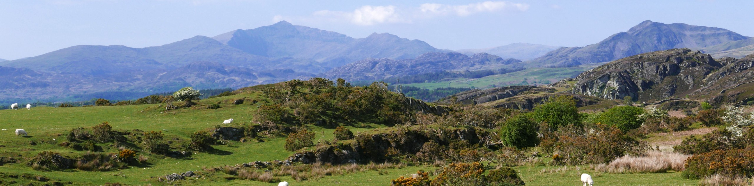
Harlech to Llandecwyn is a beautiful walk that follows an ancient Bronze Age route through the Snowdonia foothills. The iconic Harlech Castle makes for an impressive starting point. A winding countryside path passes through massive standing stones and sublime prehistoric monuments as you walk north to Llandecwyn.
Getting there
The Harlech to Llandecwyn walk starts at Harlech Castle. While there is parking right at the castle, spots are limited. You may have more luck at the two main car parks nearby in Upper Harlech: Bron y Graig Isaf (short-stay) and Bron y Graig Uchaf (long-stay).

About
| When to do | March–November |
| Backcountry Campsites | No |
| Pets allowed | Yes - On Leash |
| Family friendly | Older Children only |
| Route Signage | Average |
| Crowd Levels | Moderate |
| Route Type | One Way |
Harlech to Llandecwyn
Elevation Graph
Weather
Harlech to Llandecwyn Description
Start by exploring the famed Harlech Castle, built by Edward I during his invasion of Wales in the 13th century. Once you’re ready to start the route, walk behind the castle and cross over the Stryd Fawr along a winding lane that ascends in an easterly direction. Stay on this lane as it curves to the south until you reach another crossroads. Turn left and follow this lane. Stick left as you pass a standing stone on your left at the base of Foel Senigl. Continue another kilometre to a sign for a footpath—follow this, then head right through a gate. Pass another huge standing stone and arrive at a point between two stone circles on the lower northern slopes of Moel Goedog.
Continue along this track on a northeast bearing. Clamber over two stiles, and after the track starts to bend to the right, hop over a stile on your left to join the waymarked Ardudwy Way. Turn right, cross two more stiles, then left onto the ancient Bronze Age track. This curves gradually northward, leading you to the stone circle Bryn Cader Faner, one of the most striking Bronze Age structures in the UK. The trail from here heads in a northwest direction through the foothills of Y Gyrn. Veer right onto a lane and walk north before turning left onto another lane that brings you to the beautiful shores of Llyn Tecwyn Isaf. Skirt the right side of the lake, circle around to the back, and then take a right on a track that heads downhill to cross the A496 and brings you into Llandecwyn.
This walk is most commonly done as a one-way from Harlech to Llandecwyn, with railway stations in both towns facilitating easy transport. If you’d like to walk back to Harlech, simply retrace your steps along the same route in the reverse direction.
Find more amazing walks in Snowdonia:
Insider Hints
If you're looking for an unforgettable walking experience, you can also check out our walking tours.
Similar hikes to the Harlech to Llandecwyn hike

Foel Goch via Bwlch Tryfan Walk
A walk up Foel Goch via Bwlch Tryfan is an excellent way to take in the iconic beauty of Tryfan…
Snowdon via Crib Goch and Miner’s Track
Of all the many routes up Snowdon, this approach via Crib Goch may be the most demanding! The walk starts…
Y Garn and the Glyderau
The Glyderau may be the most celebrated mountain range within Snowdonia National Park, and this full-day adventure visits the highlights!…
Comments