Arenig Fawr Walk
View Photos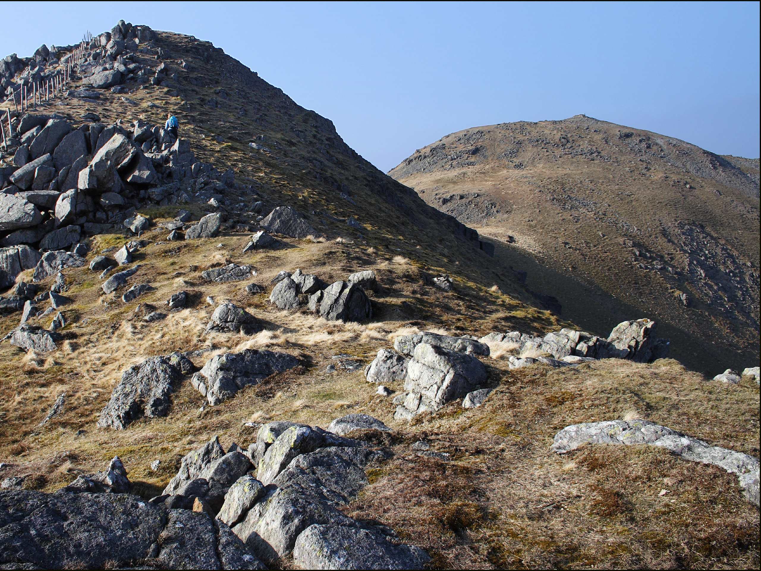
Arenig Fawr Walk
Difficulty Rating:
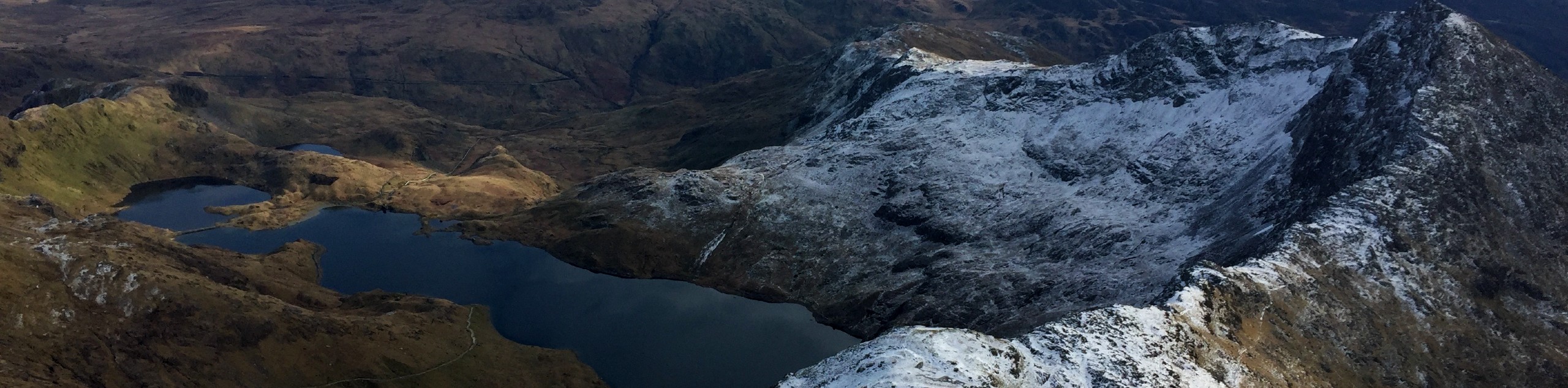
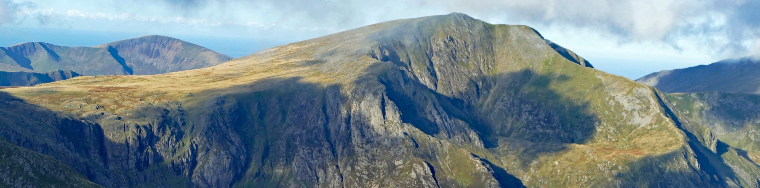
Arenig Fawr is a central Snowdonia mountain offering spectacular views in every direction from its summit. This out-and-back route starts just across the road from Llyn Celyn and meanders around the shores of Llyn Arenig Fawr before tackling the mountain itself. A memorial at the top provides a slice of historical context to this particular peak.
Getting there
To start the Arenig Fawr walk, make your way to the southwestern edge of Llyn Celyn. Heading northeast on the A4212 from Trawsfynydd, turn right onto the road to Arenig after the B4391 intersects on your left. Just under two miles down this road, there is a tiny parking area at the trailhead.

About
| When to do | March–November |
| Backcountry Campsites | No |
| Pets allowed | Yes - On Leash |
| Family friendly | Older Children only |
| Route Signage | Poor |
| Crowd Levels | Low |
| Route Type | Out and back |
Arenig Fawr Walk
Elevation Graph
Weather
Arenig Fawr Walk Description
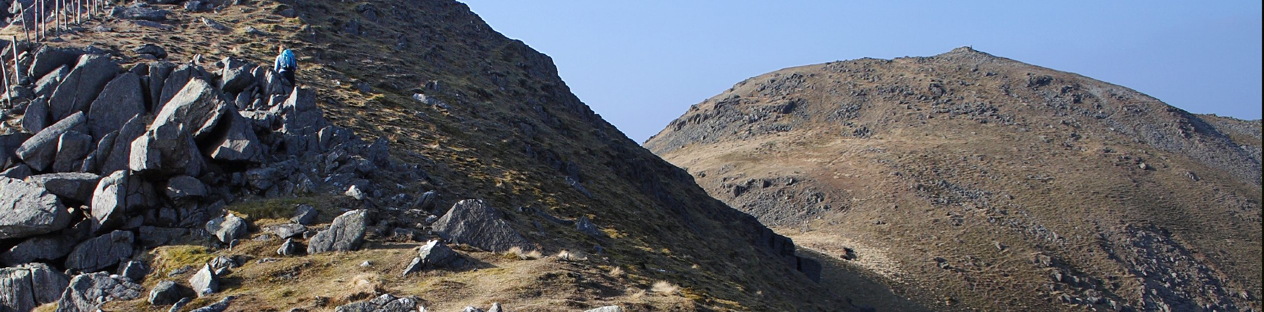
Set off along a trail on the south side of the road, away from the lake. It’s steep at first but levels out as it bends to the left. This brings you around the shores of Llyn Arenig Fawr, the lake on your right-hand side. A compact little bothy provides shelter for a quick rest before tackling the rest of the ascent. Clamber over a stile to your right and cross the river, where a fairly clear path shows your way up the Y Castell slope.
You’ll come to a fence that has likely been visible for some time. From here, the path follows the contours of Arenig Fawr instead of heading directly for the summit. Push through a few boggy sections, then up through a final section of loose scree to the top. A shelter and a memorial mark the summit of Arenig Fawr. An American B17 bomber crashed into the mountain in 1943, with all eight onboard perishing in the accident. With your location in the center of Snowdonia, the panoramic views are excellent in all directions. When it’s time to descend, retrace your steps back to the fence and down Y Castell, then back around the shore of Llyn Arenig Fawr towards your starting point.
Similar hikes to the Arenig Fawr Walk hike

Foel Goch via Bwlch Tryfan Walk
A walk up Foel Goch via Bwlch Tryfan is an excellent way to take in the iconic beauty of Tryfan…
Snowdon via Crib Goch and Miner’s Track
Of all the many routes up Snowdon, this approach via Crib Goch may be the most demanding! The walk starts…
Y Garn and the Glyderau
The Glyderau may be the most celebrated mountain range within Snowdonia National Park, and this full-day adventure visits the highlights!…
Comments