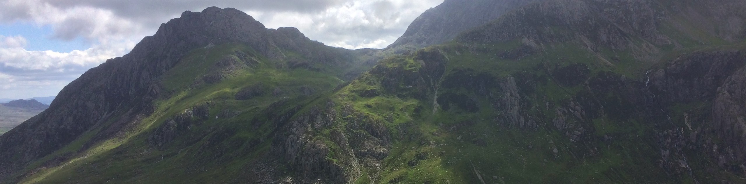
Elidir Fawr and Y Garn from Nant Peris
View Photos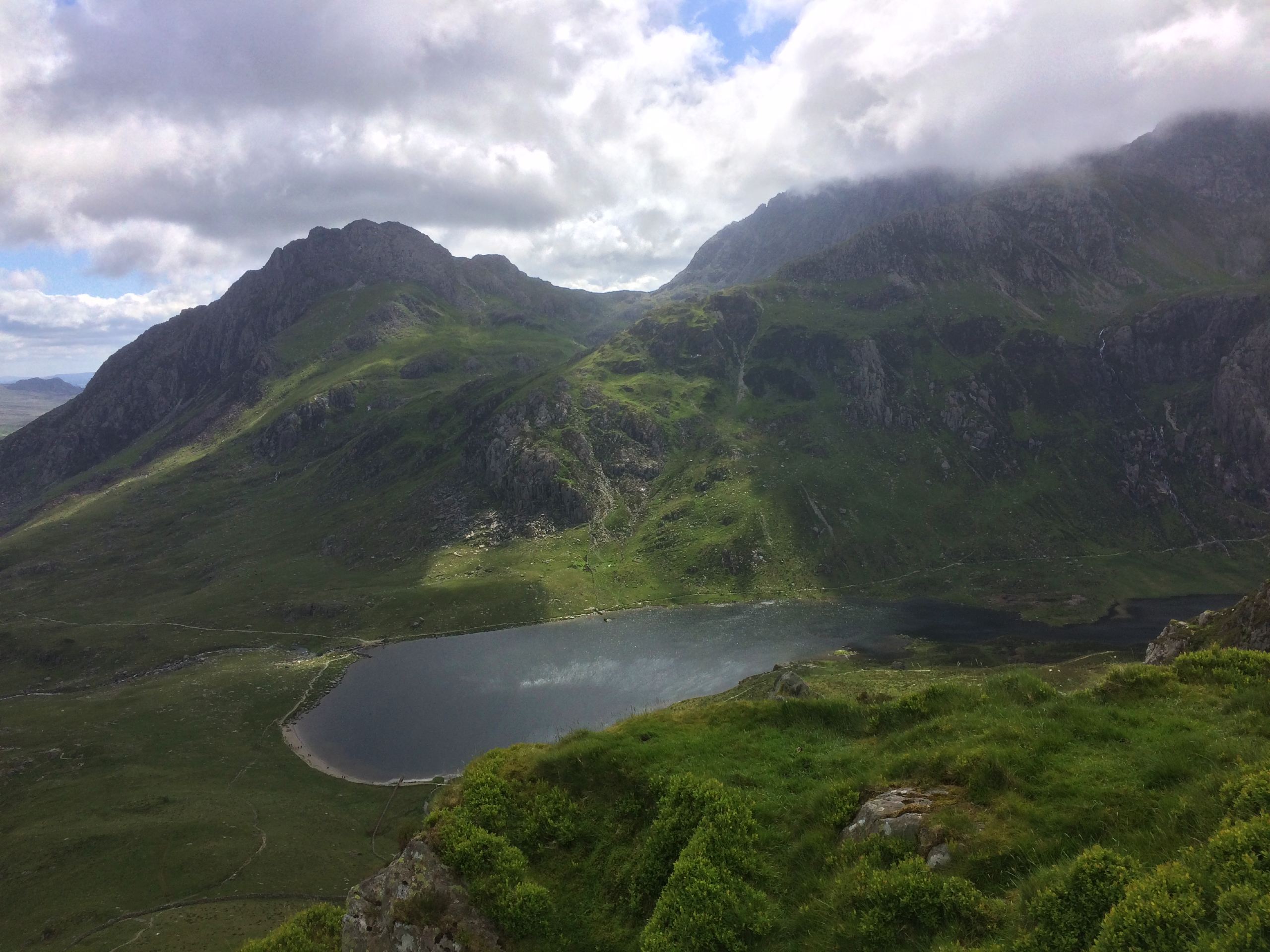
Elidir Fawr and Y Garn from Nant Peris
Difficulty Rating:
If you’re looking for a Snowdonia route to test your endurance, look no further than this circular walk, which tackles two of the Snowdonia National Park’s tallest mountains. The village of Nant Peris provides a convenient access point for this serious undertaking up Elidir Fawr and Y Garn, which (in clear weather) pays off with exceptional views of Tryfan and the Glyderau range. If you’re ready to put in a full day’s work, this route will provide the exercise you’re looking for.
Getting there
To access Elidir Fawr from Nant Peris, turn off the A4086 at the Vaynol Arms pub, beside which is a car park. This also provides the perfect spot to refuel after your long adventure.

About
| When to do | March–October |
| Backcountry Campsites | No |
| Pets allowed | Yes - On Leash |
| Family friendly | No |
| Route Signage | Poor |
| Crowd Levels | Moderate |
| Route Type | Circuit |
Elidir Fawr and Y Garn from Nant Peris
Elevation Graph
Weather
Elidir Fawr and Y Garn from Nant Peris Description
Starting from the Vaynol Arms, cross the main road to the north side and turn right onto the first side road. Follow this road until its end, keeping left and passing the Fronwydyr climbing hut. Near the road’s end, you’ll see a signed footpath on your right leading over fields. Follow this path, clambering over a stile and following the river for a short period before crossing a simple footbridge and heading for the summit.
It’s a steep uphill grind from here to the top—no two ways about it! Once you’re at the summit, break for a much-deserved rest in the shelter, and snap some panoramic photos of the Snowdonia mountains. Then, it’s a narrow but straightforward section down and across to Y Garn. You’ll be heading southeast by this time.
Another steep path zig-zags up the final stretch to the summit of Y Garn, where more stunning views of the Glyderau await (provided you’re not covered in mist!). The descent follows a broad trail down to the shores of Llyn y Cwn. Just before you reach the lake, turn right and take a path that runs along the river. The descent becomes quite steep, so take your time in picking your steps. The trail eventually leads out to the main road, which you can follow as you return to Nant Peris.
Similar hikes to the Elidir Fawr and Y Garn from Nant Peris hike

Foel Goch via Bwlch Tryfan Walk
A walk up Foel Goch via Bwlch Tryfan is an excellent way to take in the iconic beauty of Tryfan…
Snowdon via Crib Goch and Miner’s Track
Of all the many routes up Snowdon, this approach via Crib Goch may be the most demanding! The walk starts…
Y Garn and the Glyderau
The Glyderau may be the most celebrated mountain range within Snowdonia National Park, and this full-day adventure visits the highlights!…
Comments