Bull Lake via PCT
View Photos
Bull Lake via PCT
Difficulty Rating:
Immerse yourself in the high country and reward yourself with awe-inspiring panoramas of the Klamath Mountain and the Cascade Range from the Bull Lake via PCT Hike. This amazing adventure above the clouds can be enjoyed by intermediate hikers and families with older children year-round.
Getting there
Access this route via the PCT Trailhead off National Forest Development Road 41N08.

About
| Backcountry Campground | |
| When to do | Year-round |
| Pets allowed | No |
| Family friendly | Older Children only |
| Route Signage | Average |
| Crowd Levels | Low |
| Route Type | Out and back |
Bull Lake via PCT
Elevation Graph
Weather
Bull Lake via PCT Description
Leading you through wildflower abundant meadows, mixed-conifer forestlands, and granite gardens, the trail to the alpine lake is arguably more scenic than the mountain overlook from Bull Lake. Exhibiting the diversity and beauty of the alpine terrain, this stimulating trek will not disappoint. Note much of the route is exposed, so we encourage you to check the forecast and dress in layers as insurance against changing conditions.
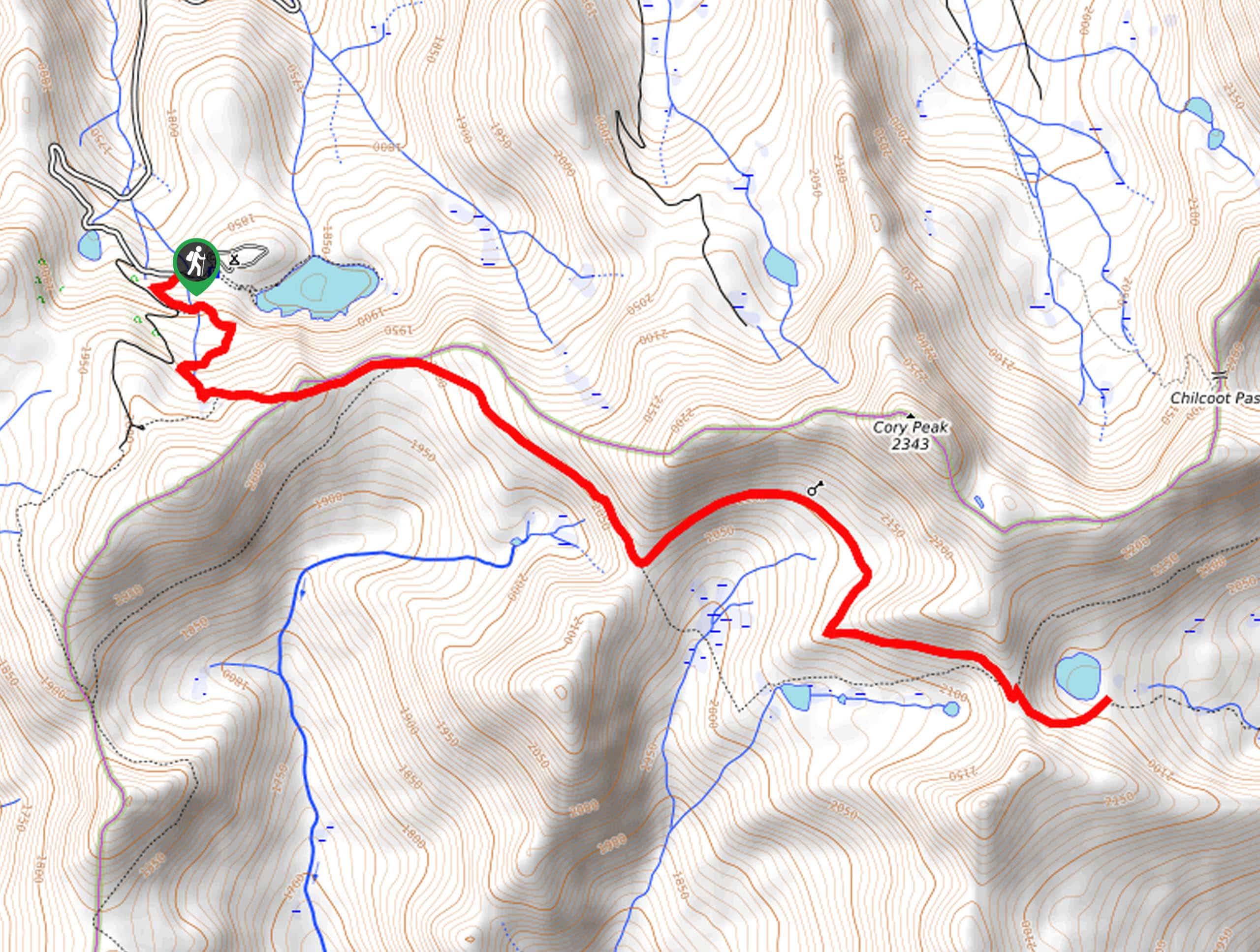
Setting out from the trailhead, the Bull Lake via PCT follows the PCT south, up a pair of switchbacks intersecting with Rail Creek. Soon after your departure, you will reach a saddle; from here, the path will guide you into the subalpine forestlands of mixed conifers. Enjoy the shade of the tree canopy while you can, as the path will soon open, exposing wonderful views and windy conditions.
Eventually, you will reach the saddle above Bull Lake, which offers epic sights of the charming alpine lake below. Descend the rocky ridge to Bull Lake and rejuvenate your tired feet in the chilly alpine waters. Appreciate the panorama of the mountainous landscape from here, and when you are ready, retrace your footing along the path back to the trailhead.
Similar hikes to the Bull Lake via PCT hike

East Weaver Lake Trail
The East Weaver Lake Trail is a wonderful adventure on the boundary of the Trinity Alps Wilderness that features amazing…

Bluff Lake via PCT
The Bluff Lake via PCT is a secluded adventure in the Shasta-Trinity National Forest that offers wonderful scenery and makes…
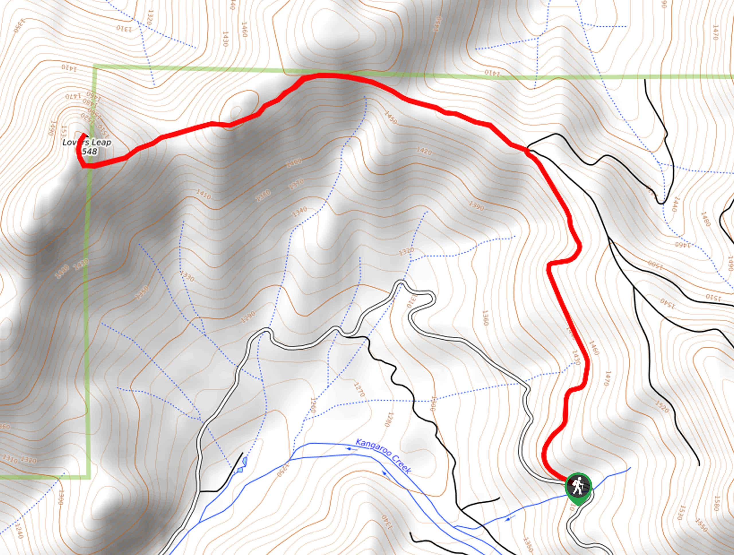
Lover’s Leap Hike
The Lover’s Leap Hike is an awesome adventure up to the summit of a granite bluff overlooking the Cascade Range…
Comments