High Sierra Trail
View Photos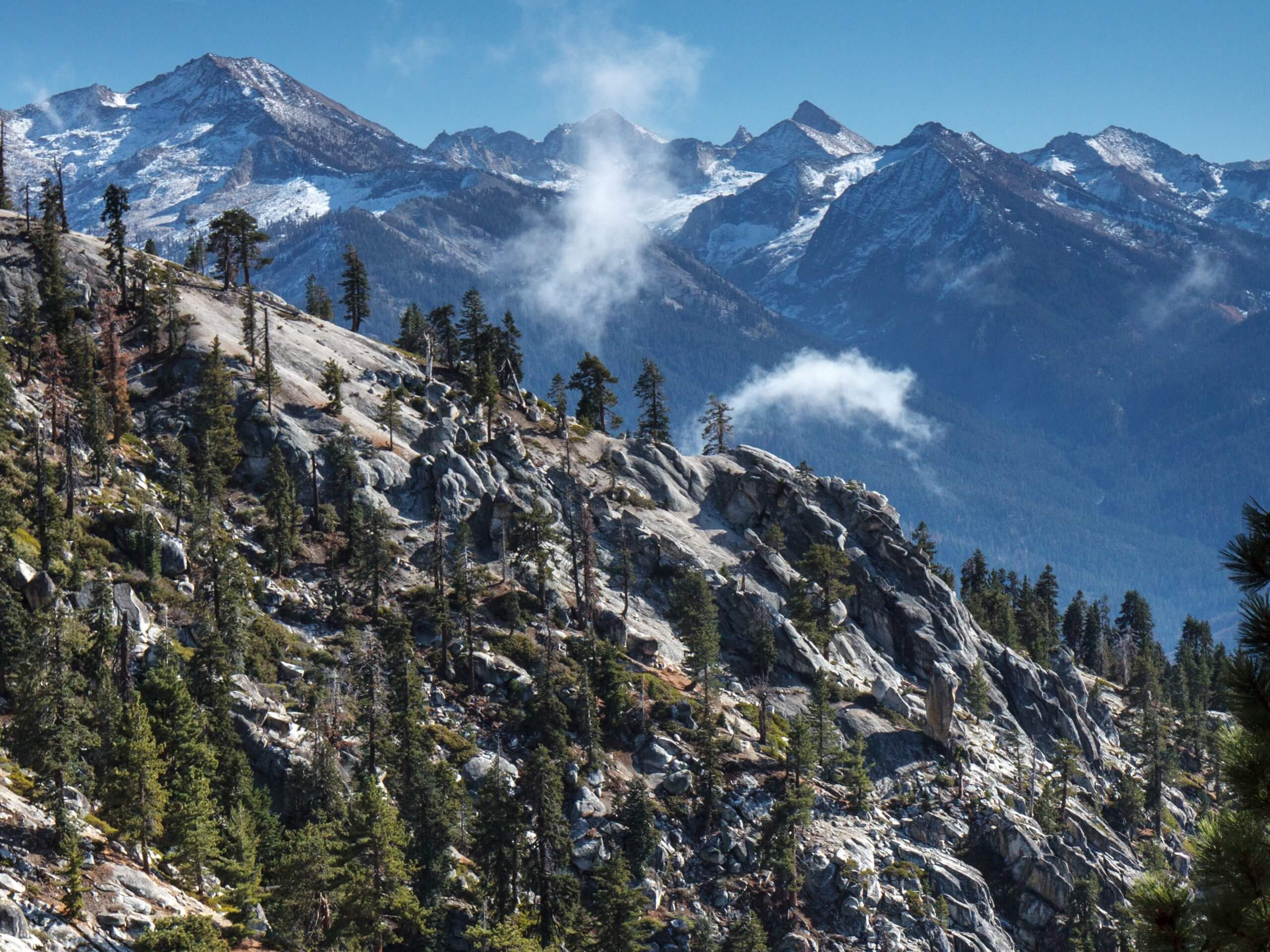
High Sierra Trail
Difficulty Rating:
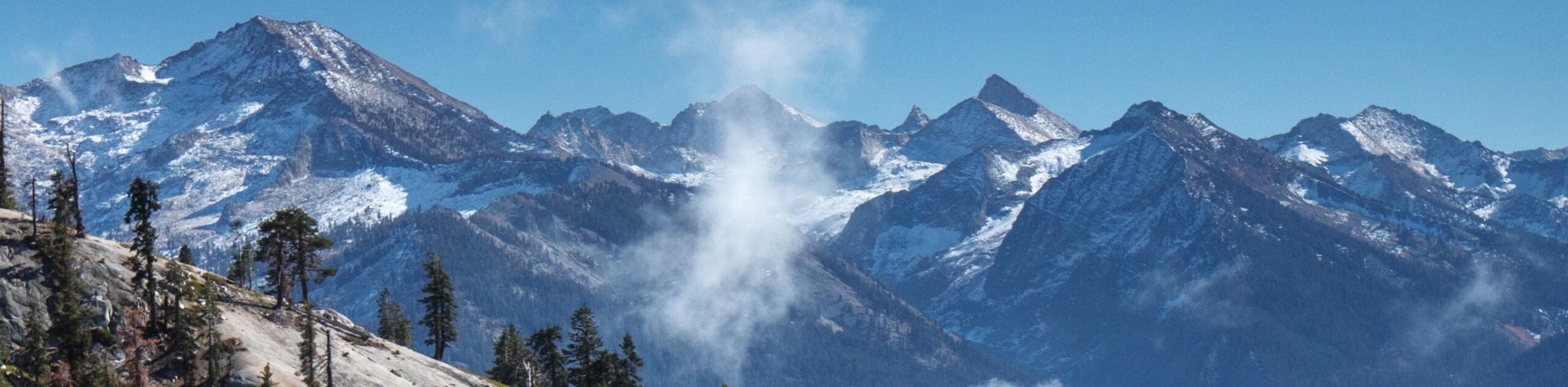
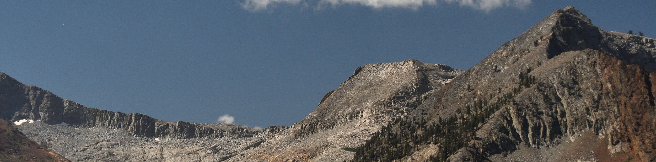
The High Sierra Trail is a beautiful trek through the Sequoia National Park that offers a wealth of scenery, including amazing mountain views, lush sequoia groves, and montane meadows. If you are seeking a scenic and stimulating trek, then you have come to the right place.
Getting there
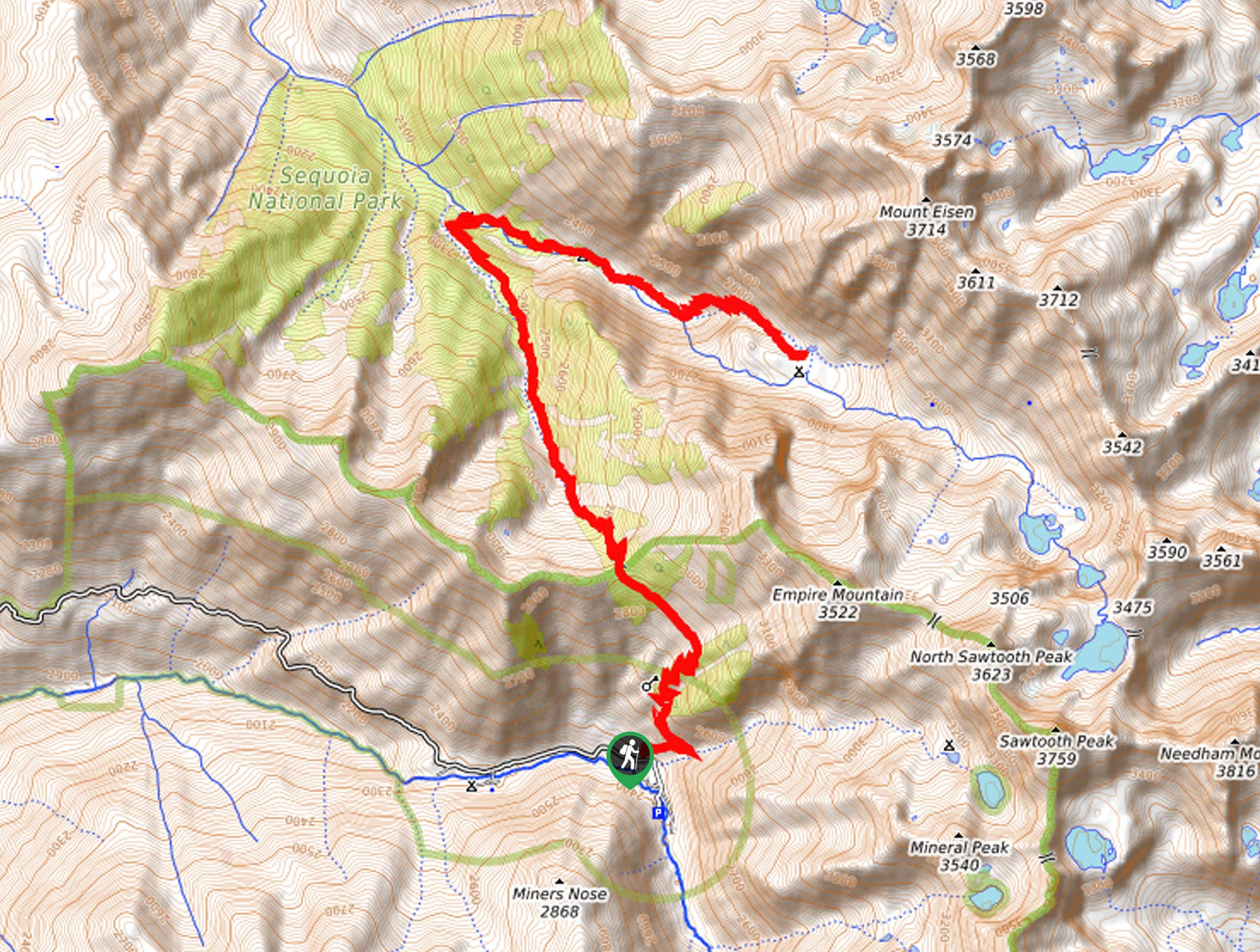
Access this hike via the trailhead off Crescent Meadow Road.

About
| Backcountry Campground | No |
| When to do | April-October |
| Pets allowed | No |
| Family friendly | No |
| Route Signage | Average |
| Crowd Levels | Low |
| Route Type | One Way |
High Sierra Trail
Elevation Graph
Weather
High Sierra Trail Description
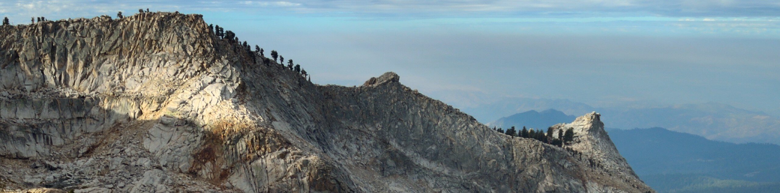
Immerse yourself in the High Sierra and revel in the beauty and grandeur of the mountainous landscape along this trek. The beauty of a one-way hike is the refreshing scenery that you are rewarded with every step of the way—just remember to arrange a pick up or drop off a car at the path’s end before heading out! Traveling through a variety of terrains at high elevations, we encourage you to dress in layers and wear a sturdy pair of footwear. Pack plenty of water and snacks to stay fueled too! Note entrance to the park costs $35USD per vehicle or $20USD per person for pedestrians or cyclists.
Setting out from the High Sierra Trailhead off the Crescent Meadow Road, the High Sierra Trail will guide you southeast to an overlook of the lush Crescent Meadow before reaching Eagle View—an epic lookout over the Great Western Divide. From here, the path will weave between meadows and woodlands along the slopes of Panther Peak. After rainfall, you will likely have to do some stream hopping. Eventually, you will encounter an intersection, keep left here, and you will be diverted onto the Sevenmile Hill Trail.
Intersecting with Mehrten Creek, you will soon merge left onto Alta Trail, which will lead you to the Panther Gap. From here, the Panther Gap Trail wanders along Wolverton Creek through meadows before turning left onto the Lakes Trail. Follow this path to the trailhead, which marks the end of your adventure.
Similar hikes to the High Sierra Trail hike
Mount Silliman Hike
The Mount Silliman Hike boasts the perfect opportunity to summit a Sierra Nevada Mountain. Explore the high country and revel…
Pinto Lake Trail
Beckoning the exploration of intrepid spirits and experienced hikers, the Pinto Lake Trail is a no walk in the park.…
White Chief Canyon Trail
The White Chief Canyon Trail is a beautiful adventure in the High Sierra that rewards its tired conquerors with incredible…
Comments