Wilson Canyon Trail
View Photos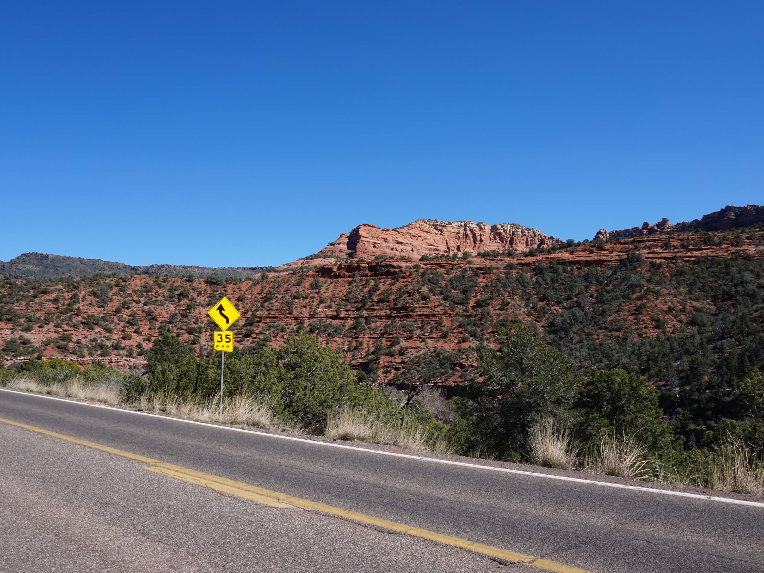
Wilson Canyon Trail
Difficulty Rating:
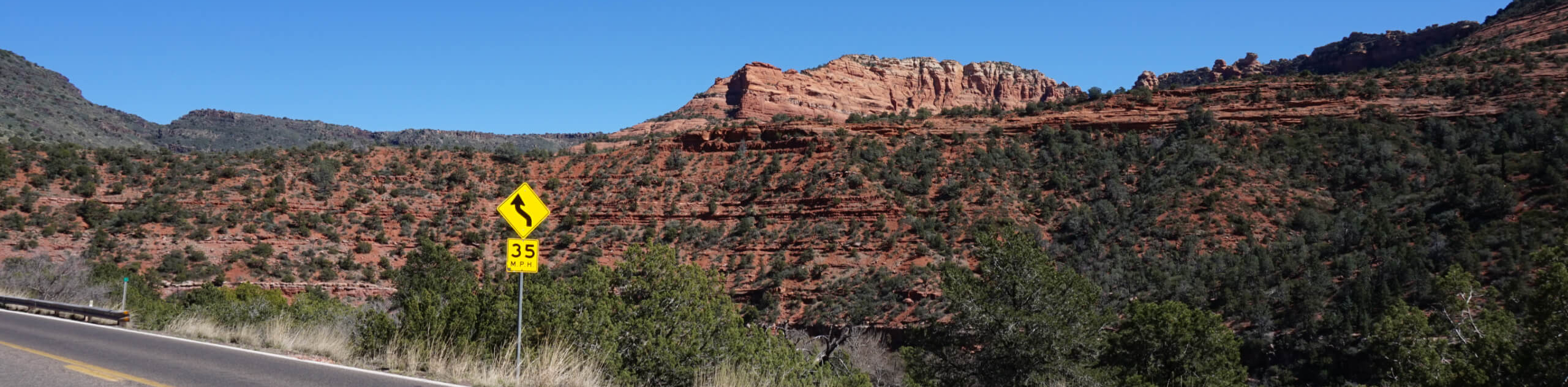
Wilson Canyon Trail is a 3.8mi out and back trail near Sedona that takes you from the Midgley Bridge Picnic Site through a pretty canyon. This hike is quite laid back, making it a good pick for beginners and families. There isn’t a standout view at the end, but the journey through the canyon is a wonderful walk if you’re picnicking nearby. Expect moderate traffic on this
Getting there
The trailhead for the Wilson Canyon Trail is off Highway 89A near the Midgley Bridge Picnic

About
| Backcountry Campground | No |
| When to do | Year-round |
| Pets allowed | Yes - On Leash |
| Family friendly | Yes |
| Route Signage | Average |
| Crowd Levels | Moderate |
| Route Type | Out and back |
Wilson Canyon Trail
Elevation Graph
Weather
Wilson Canyon Trail Description
Wilson Canyon Trail is an easy hike that starts from the Midgley Bridge Picnic Area. If you’re here for a picnic, it’s a nice choice for a leg stretcher that won’t be too challenging. While there isn’t a sky-high viewpoint on this hike, it’s a pleasant trip. It’s also nicely shaded on hot days.
Start from the trailhead and head north. Take care not to take the Wilson Mountain Trail on the right- that’s a much harder hike. Continue straight ahead, keeping right where the trail branches again. There are a few more spur trails, but simply keep heading straight through the canyon.
Follow the creek to the end of the canyon, then turn around and meander back. Take a second to check out the Midgley Bridge hike if you want another easy trip in the same area after this one.
Similar hikes to the Wilson Canyon Trail hike

Margs Draw Trail
Margs Draw Trail is a bit of a hidden gem. This trail doesn’t get as much traffic as other nearby…

Baby Bell, Llama, and Bail Loop
The Baby Bell, Llama, and Bail Loop is a 3.6mi hike in Sedona near Bell Rock and Courthouse…

Herkenham Trail
Herkenham Trail is a 2.0mi out and back trail in the Coconino National Forest near Sedona. This route…
Comments