Jim Thompson Trail
View Photos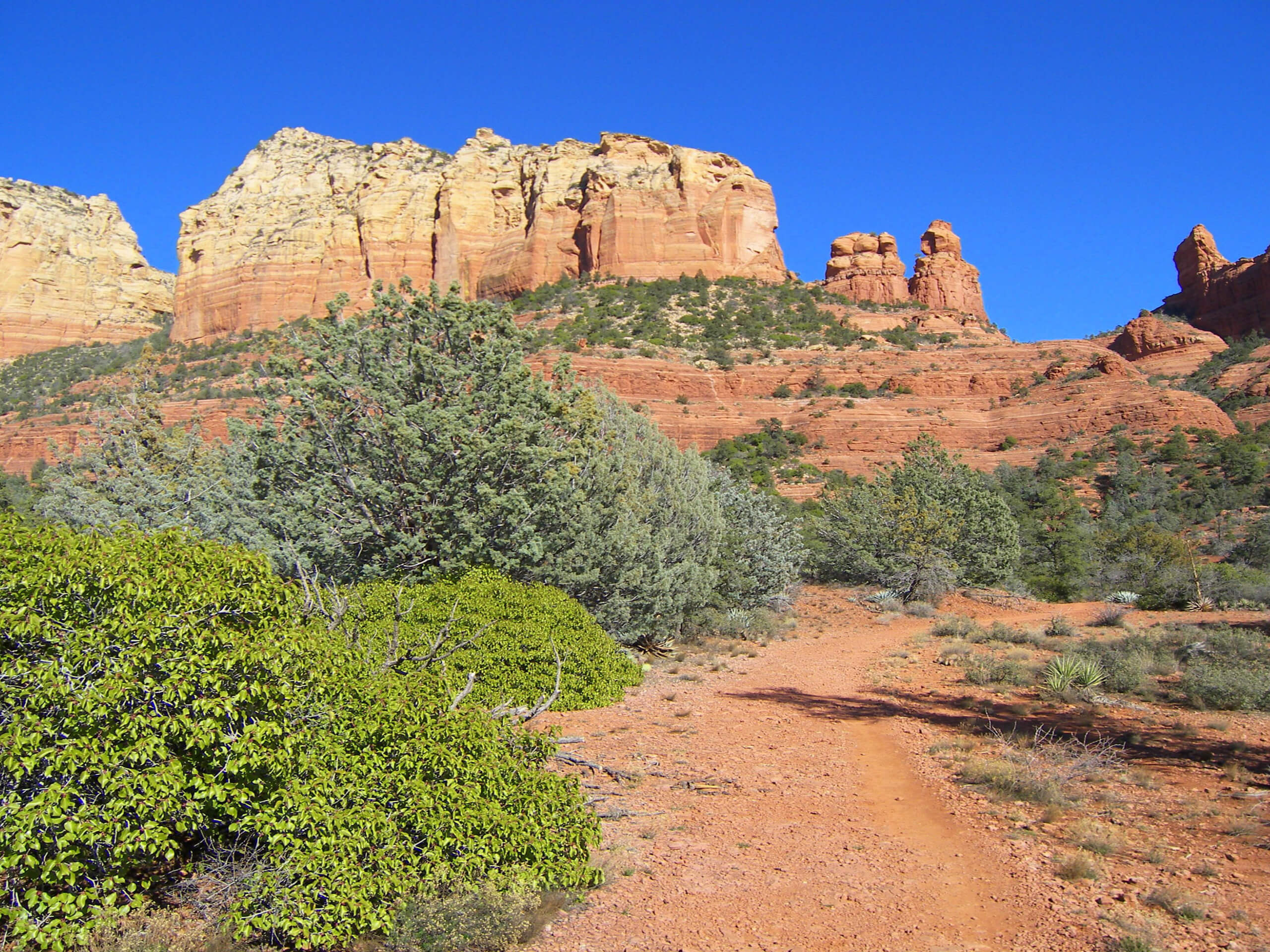
Jim Thompson Trail
Difficulty Rating:
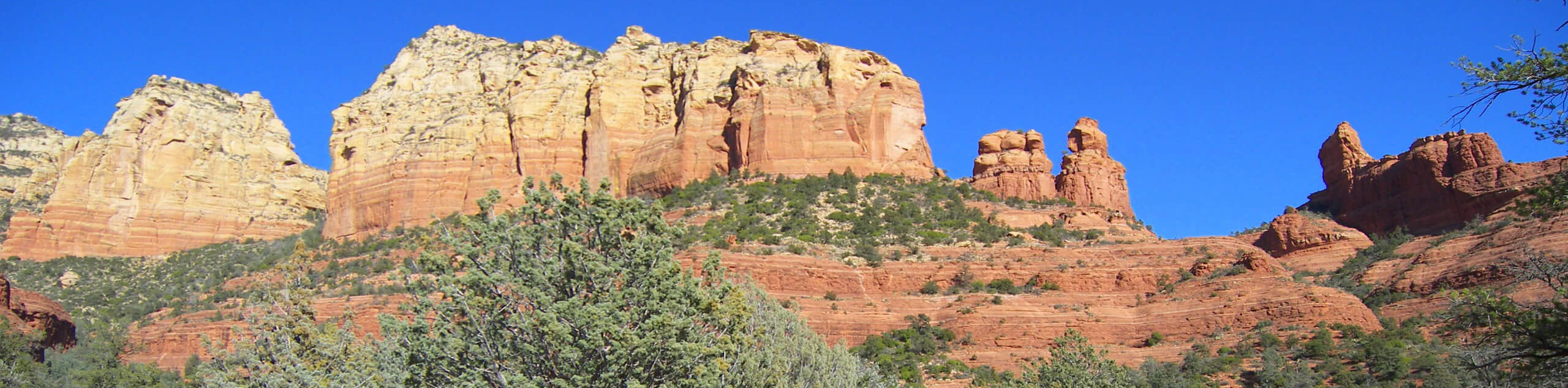
Jim Thompson Trail is a 5.0mi hike in Sedona that shows off three unique rock formations. The route is easy enough for most hikers to enjoy. The trail is a bit rocky and there are some power lines to look past, but the views make it a worthwhile trip. Expect moderate to heavy traffic on this hike, some of which is mountain bike traffic.
Getting there
The trailhead for the Jim Thompson Trail is at the end of FR 633.

About
| Backcountry Campground | No |
| When to do | Year-round |
| Pets allowed | Yes - On Leash |
| Family friendly | Yes |
| Route Signage | Average |
| Crowd Levels | High |
| Route Type | Out and back |
Jim Thompson Trail
Elevation Graph
Weather
Jim Thompson Trail Description
Jim Thompson Trail is a fun hike near Sedona that features views of The Fin, The Acropolis, and Tisha Spire. It’s a moderate route that most hikers will be able to enjoy. Keep in mind that this is a rocky trail, so you’ll want sturdy boots. We also recommend taking a map if you’re new to the area as some parts of the trail can be a bit unclear.
Beginning from the trailhead, take Jim Thompson Trail (there are a few trails that leave from this trailhead so make sure you take the correct one). You’ll hike underneath a power line for most of the trail, but the view is still very enjoyable. The trail curves up towards the western side of Tisha Spire before following the base of it. You’ll hike to where the route meets Wilson Canyon Trail.
From the junction, turn around and retrace your steps back to the trailhead. Enjoy a view of Ciboa Mitten and Brins Butte on the return trip.
Similar hikes to the Jim Thompson Trail hike

Margs Draw Trail
Margs Draw Trail is a bit of a hidden gem. This trail doesn’t get as much traffic as other nearby…

Baby Bell, Llama, and Bail Loop
The Baby Bell, Llama, and Bail Loop is a 3.6mi hike in Sedona near Bell Rock and Courthouse…

Herkenham Trail
Herkenham Trail is a 2.0mi out and back trail in the Coconino National Forest near Sedona. This route…
Comments