
North Fork Clear Creek Trail
View Photos
North Fork Clear Creek Trail
Difficulty Rating:
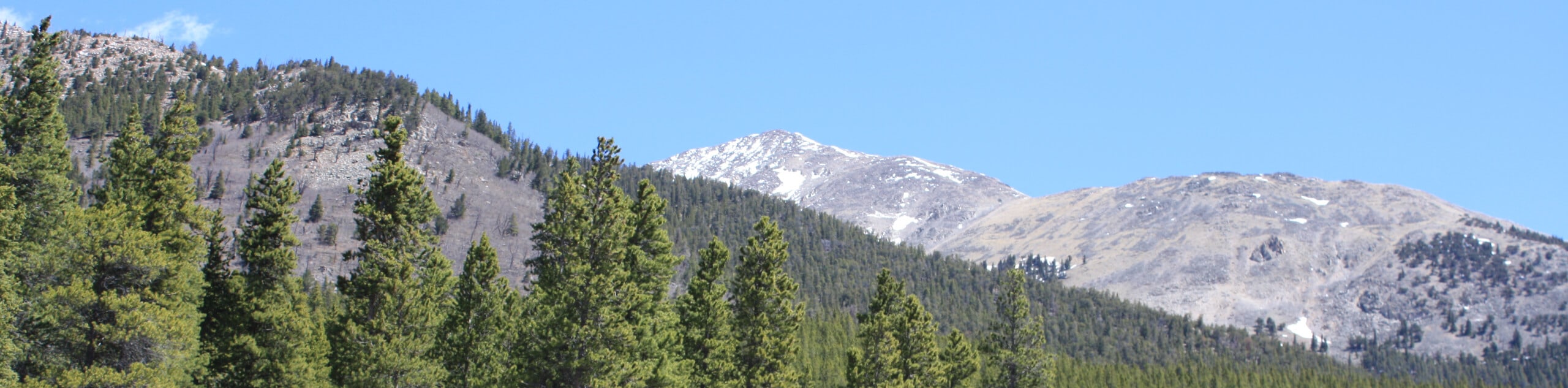
The North Fork Clear Creek Trail is a must-add to your Colorado hiking itinerary if you are seeking a more low-key adventure. Nestled between looming snow-capped Colorado 14ers, you will be granted epic views of the Sawatch Mountain Range without having to exhaust yourself with a technical summit trek.
Getting there
The North Fork Clear Creek Trail departs from the trailhead off North Fork Clear County Road 4WD.

About
| Backcountry Campground | No |
| When to do | June-October |
| Pets allowed | Yes - On Leash |
| Family friendly | Yes |
| Route Signage | Average |
| Crowd Levels | Low |
| Route Type | Out and back |
North Fork Clear Creek Trail
Elevation Graph
Weather
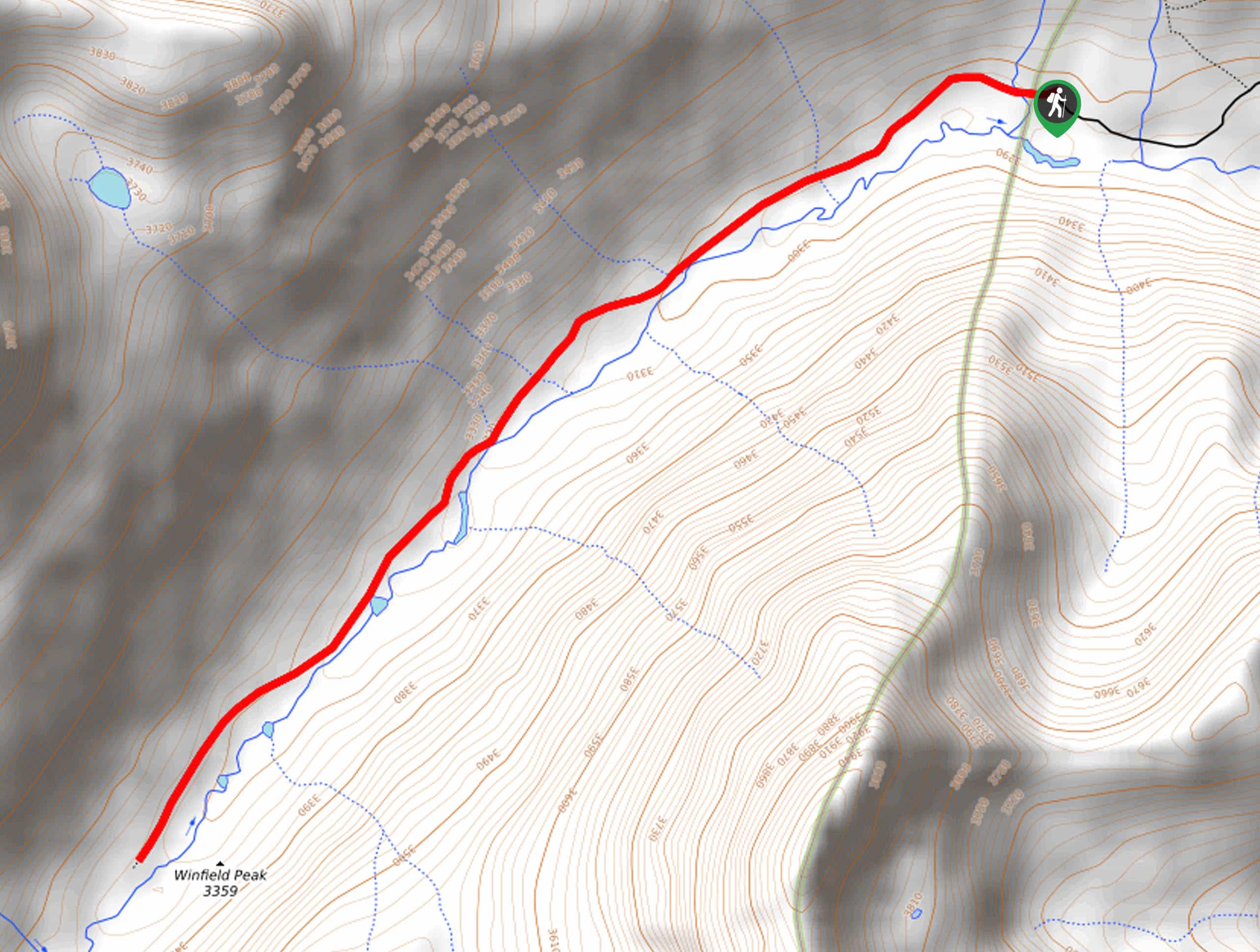
North Fork Clear Creek Trail Description
Immerse yourself in Colorado’s high country by hiking through the sub-alpine terrain along the North Fork Clear Creek Trail. Perfect for families, novice hikers, and those acclimating to the area’s altitude, this trek caters to adventurers of all sorts. Traveling through the luxuriant meadowlands offers panoramic views of the mountainous landscape, but it also means warm conditions in the summer. Be sure to wear a sunhat and begin your adventure before noon on hot days.
Departing from the trailhead, the North Fork Clear Creek Trail heads southwest through the meadowlands. As you walk, enjoy the relaxing sounds of the babbling waters of the North Fork Clear Creek. There will be the odd towering pine providing shade, but these are sparse, so enjoy the sun breaks when you can. Winfield Peak and Virginia Peak line the east with impressive cliffs and provide a gateway to the rest of the Collegiate Peaks Wilderness.
Revel in the view of the dramatic mountains before reaching the trail’s end, where you will turn around and begin your return. As you hike back to the trailhead, you will be rewarded with impressive sights of La Plata Peak looming above in the north. The end of your adventure is marked by your return to the trailhead.
Similar hikes to the North Fork Clear Creek Trail hike
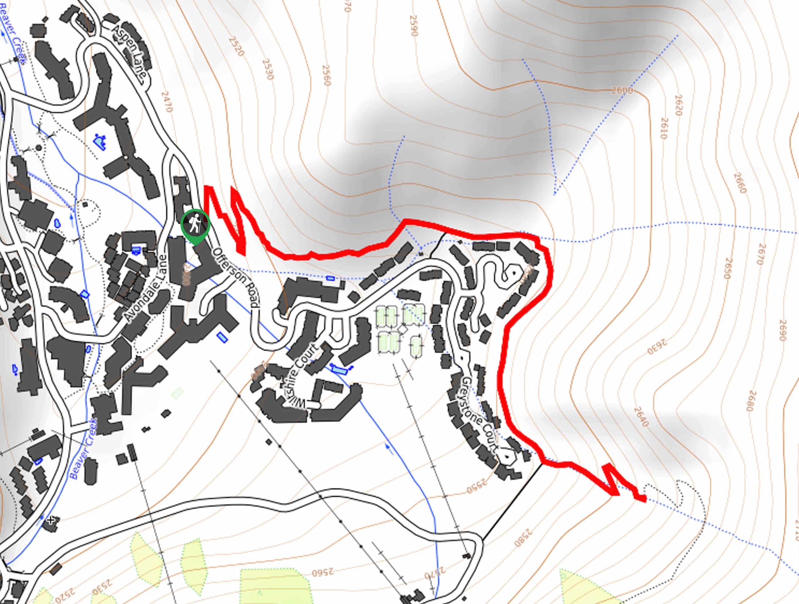
Village Creek Trail
Explore the Beaver Creek Ski Resort and revel in the vibrance of the encompassing woodlands as you venture the Village…
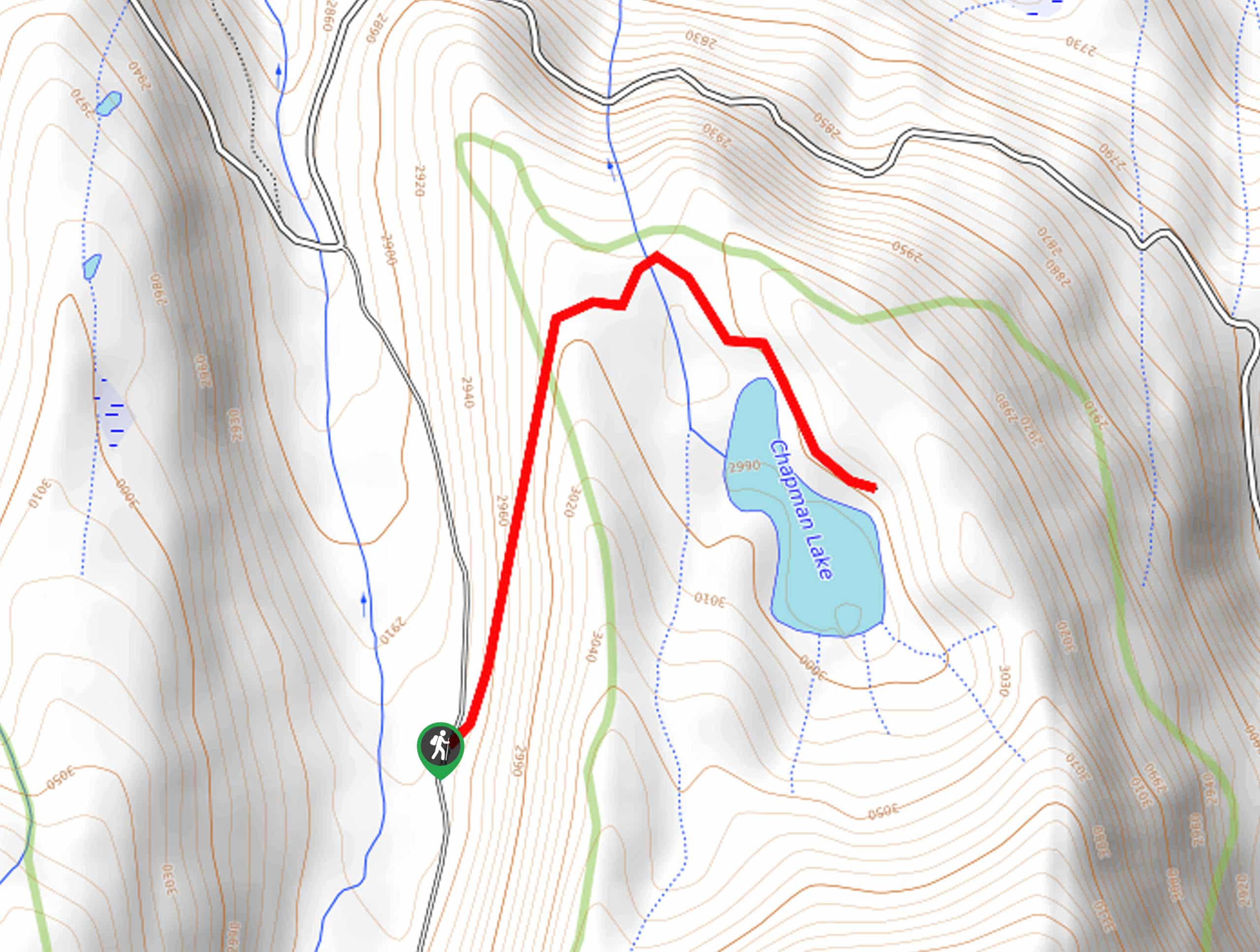
Chapman Trail
The Chapman Trail is an easy-going nature walk up to a serene lake laden with lilies pads. Suitable for the…
Colorado Trail Segment 13 via South Cottonwood Trailhead
The Colorado Trail Segment 13 via South Cottonwood Trailhead provides the optimal opportunity to get a taste of all that…
Comments