Colorado Trail Segment 13 via South Cottonwood Trailhead
View Photos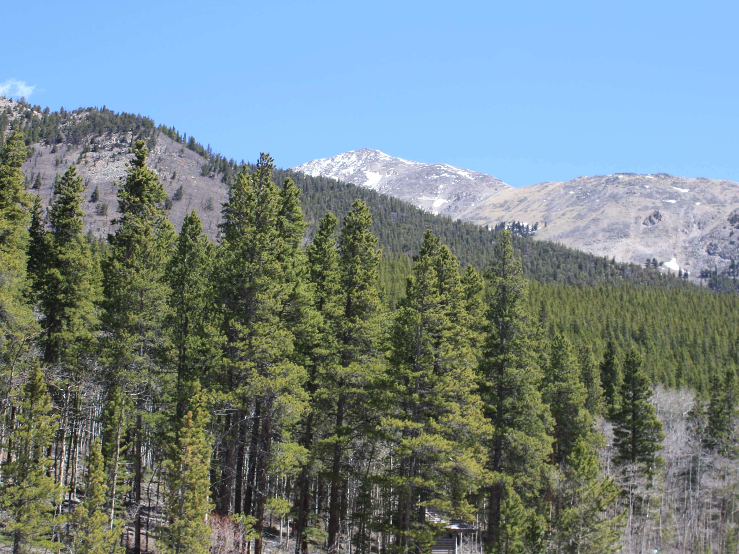
Colorado Trail Segment 13 via South Cottonwood Trailhead
Difficulty Rating:
The Colorado Trail Segment 13 via South Cottonwood Trailhead provides the optimal opportunity to get a taste of all that the Colorado Trail has to offer. Traveling through a luxuriant meadow and lush woodlands up to a stunning overlook, there is no shortage of scenery along this trek!
Getting there
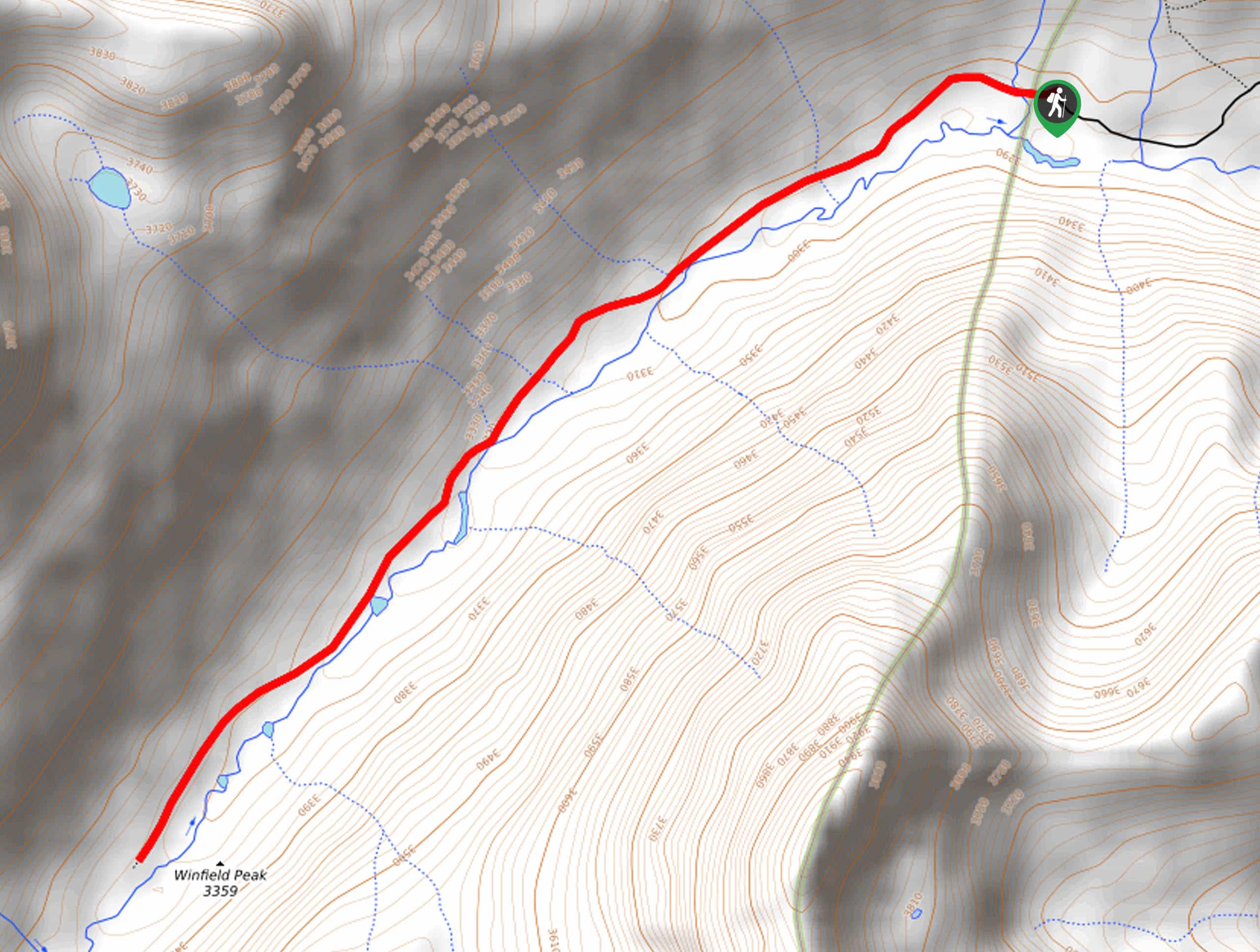
The Colorado Trail Segment 13 via South Cottonwood Trailhead is accessed via the trailhead off County Road 344.

About
| Backcountry Campground | No |
| When to do | Year-round |
| Pets allowed | Yes - On Leash |
| Family friendly | Yes |
| Route Signage | Average |
| Crowd Levels | Low |
| Route Type | Out and back |
Colorado Trail Segment 13 via South Cottonwood Trailhead
Elevation Graph
Weather
Colorado Trail Segment 13 via South Cottonwood Trailhead Hike Description
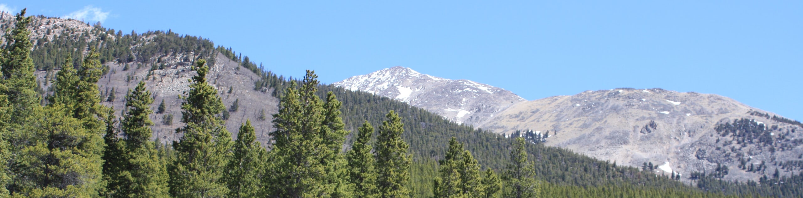
Short and sweet, you will surely be impressed by the scenery along the Colorado Trail Segment 13 via South Cottonwood Trailhead. This amazing adventure exhibits the beauty and diversity of the Colorado wilderness as it travels through luxuriant meadows, dense forests, past granite outcroppings, and along snow-melt streams. With manageable terrain and limited elevation gain, this adventure is ideal for the whole family and for those acclimating to the area’s altitude.
Embark on your journey along the Colorado Trail Segment 13 via South Cottonwood Trailhead from, you guessed it, the South Cottonwood Trailhead. From here, head east along the Colorado Trail Segment 13. Hiking along the South Cottonwood Creek, you will eventually be diverted away from the stream and over County Road 343. Now climbing through the woodlands and up a set of switchbacks, you will be rewarded with epic mountain views.
You will meet the trail’s end when you confront an intersection. Here, you can continue exploring the Colorado Trail Segment 13, or simply retrace your footing along the trail all the way back to the trailhead.
Similar hikes to the Colorado Trail Segment 13 via South Cottonwood Trailhead hike
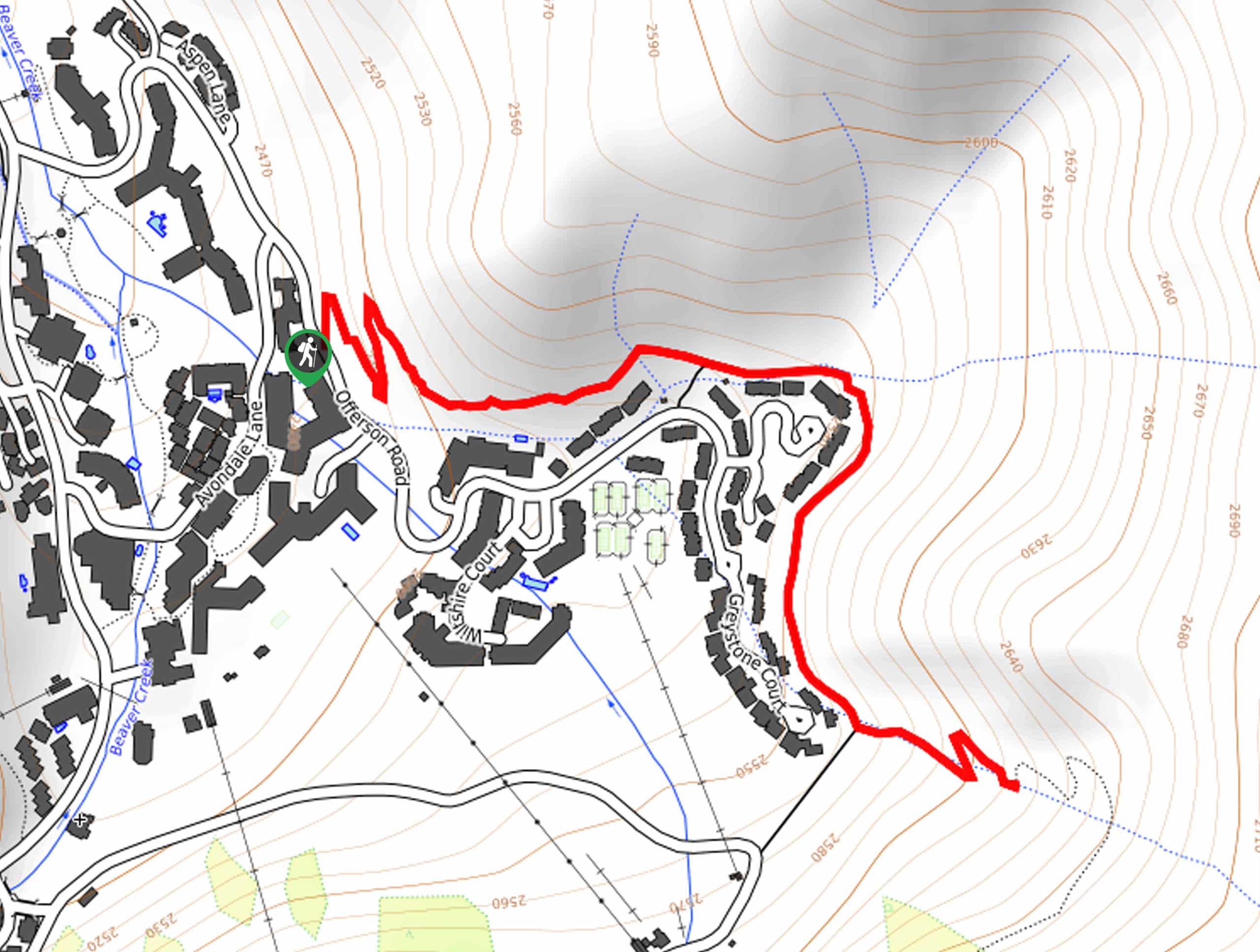
Village Creek Trail
Explore the Beaver Creek Ski Resort and revel in the vibrance of the encompassing woodlands as you venture the Village…
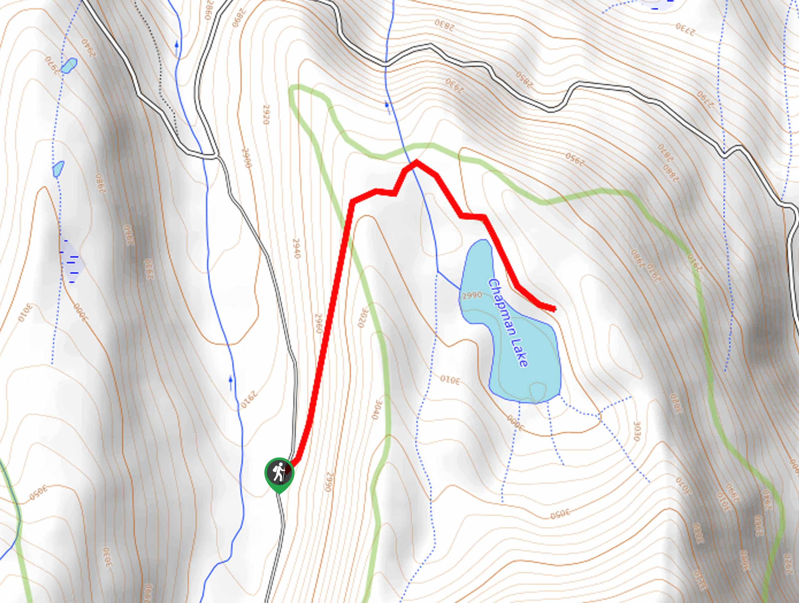
Chapman Trail
The Chapman Trail is an easy-going nature walk up to a serene lake laden with lilies pads. Suitable for the…
North Fork Clear Creek Trail
The North Fork Clear Creek Trail is a must-add to your Colorado hiking itinerary if you are seeking a more…
Comments