Mount Columbia Hike
View Photos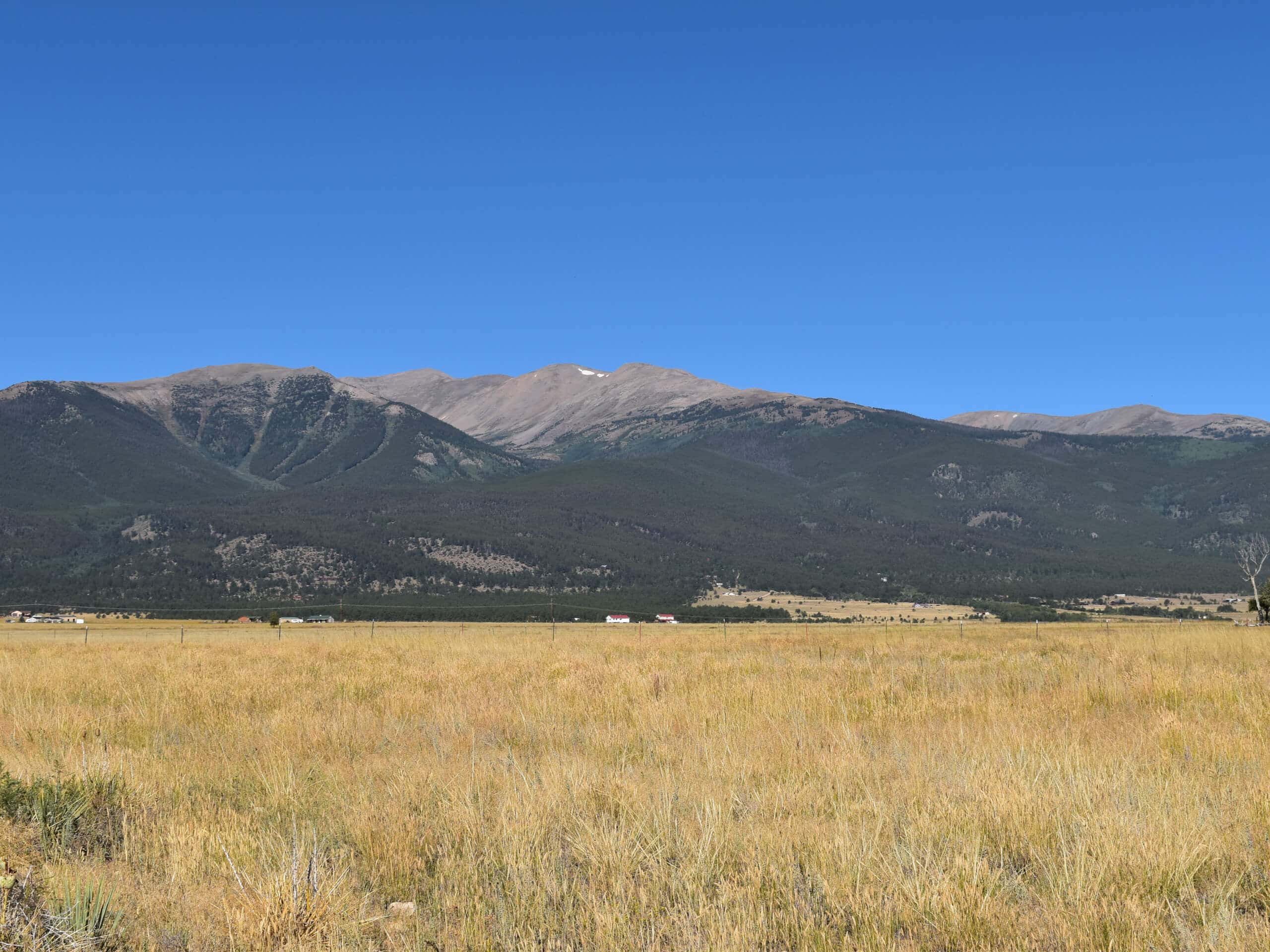
Mount Columbia Hike
Difficulty Rating:
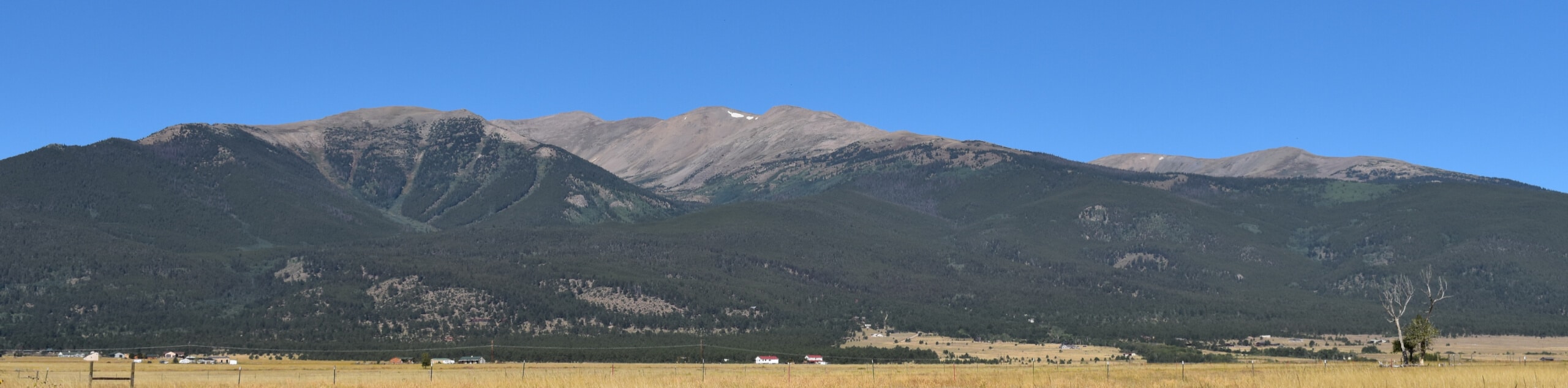
The Mount Columbia Hike is an amazing adventure up a dramatic Colorado 14er. Located in the Collegiate Peaks Wilderness, this trail will guide explorers through aspen groves, pine forests, and alpine tundras, before summiting the snow-capped peak. If you are seeking a challenge, then this hike is the perfect option!
Getting there
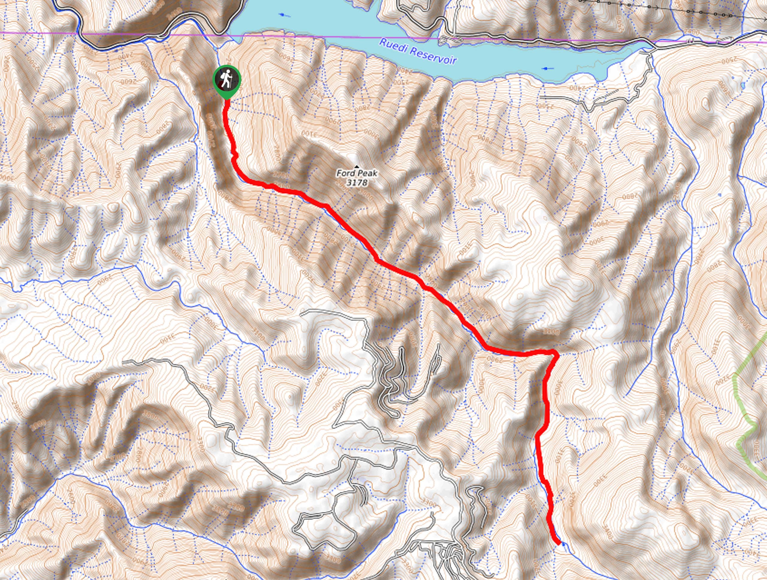
The Mount Columbia Hike is accessed via the North Cottonwood Trailhead off the North Cottonwood Road.

About
| Backcountry Campground | Dispersed Backcountry Camping |
| When to do | June-October |
| Pets allowed | Yes - On Leash |
| Family friendly | No |
| Route Signage | Average |
| Crowd Levels | Moderate |
| Route Type | Out and back |
Mount Columbia Hike
Elevation Graph
Weather
Mount Columbia Hike Description
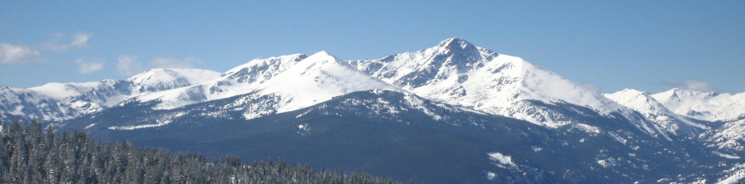
The Mount Columbia Hike is a high-effort, high reward experience. Reserved for intrepid spirits and experienced hikers, this trek demands stamina and preparation. The route will see you gain over 3937ft in elevation, so it is important that you are properly acclimated to the area’s altitude prior to your climb. Additionally, the terrain at the summit will likely be cloaked in snow and ice, so we recommend trekking poles and microspikes to safely navigate the vertiginous terrain. Finally, you will want to reach the peak before noon to mitigate the chances of getting caught in an afternoon storm, so best leave before dawn!
Departing from the North Cottonwood Trailhead, the Mount Columbia Hike follows the Horn Fork Basin Trail northwest through the woodlands. This section of the trail will likely be the busiest, as it connects to several other treks in the area. Shortly after your departure from the trailhead you will encounter an intersection, keep right here. Following the path northwest, you will eventually be guided into an aspen forest, before confronting another junction. Veer right here onto the Mount Columbia West Slopes Trail, which is a technical and more primitive path.
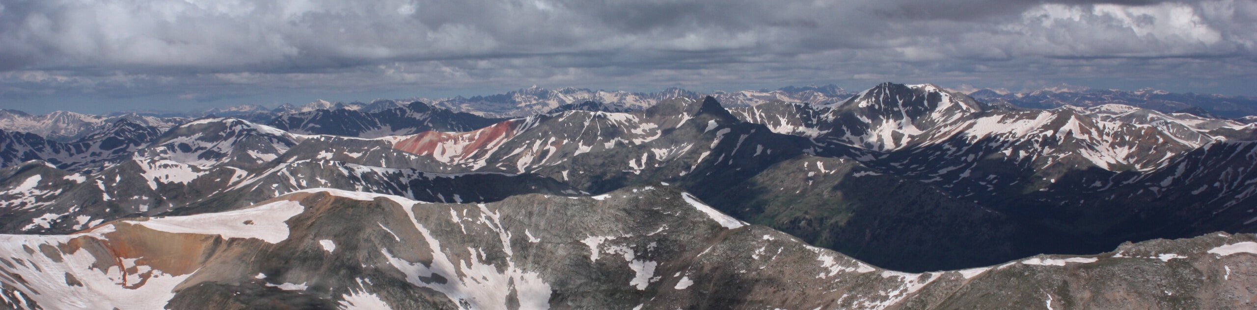
Carefully navigate the steep switchbacks up to the ridge, then hike the vertiginous terrain up to the summit of the Colorado 14er. At the peak, be sure to appreciate what you just accomplished and admire the sweeping alpine vistas. Revel in the sights of the dramatic snow-capped peaks that stretch for miles and when you are ready to descend, simply retrace your footing along the paths back to the trailhead.
Similar hikes to the Mount Columbia Hike hike
Mount of the Holy Cross Loop Trail
Hike up to one of the most famous Colorado 14ers along the Mount of the Holy Cross Loop Trail. This…
Rocky Fork Trail
The Rocky Fork Trail is an unassumingly picturesque adventure through the Rocky Fork Creek’s forested canyon that reveals awe-inspiring views…
La Plata Ellingwood Ridge Hike
The La Plata Ellingwood Ridge Hike is a demanding feat that requires an experienced adventurer with an intrepid spirit. If…
Comments