

Metate Trail
View PhotosMetate Trail
Difficulty Rating:
The Metate Trail is a quick and easy hiking route in the San Bernardino National Forest that features a lovely forest setting and is an important historical site. While out on the trail, you will meander through the woodland landscape and gain elevation to arrive at a place where indigenous peoples once ground acorns using metates carved into local rocks. This is a great route if you are looking to take int he beauty of nature or have an interest in history.
Getting there
The starting point for the Metate Trail can be found along CA-173, just 3.2mi northwest of Lake Arrowhead.
About
| Backcountry Campground | No |
| When to do | Year-Round |
| Pets allowed | Yes - On Leash |
| Family friendly | Yes |
| Route Signage | Average |
| Crowd Levels | Moderate |
| Route Type | Out and back |
Metate Trail
Elevation Graph
Weather
Metate Trail Description
Whether you are looking to reconnect with nature or take your family out to learn how indigenous people in Southern California once secured food for the winter, the Metate Trail is an excellent hiking route to explore.
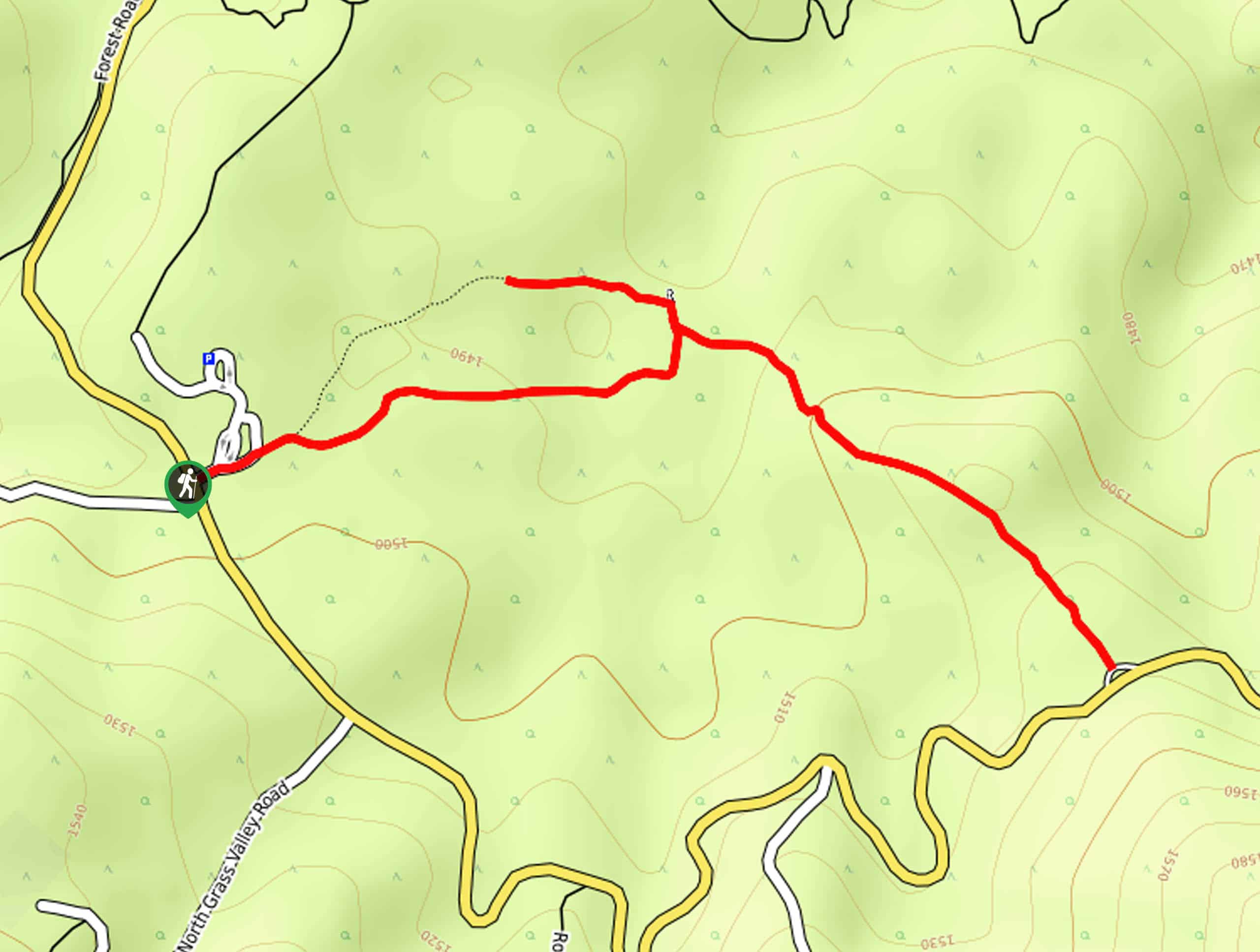
Setting out from the trailhead off CA-173, you will make your way to the northeast and enter into the cover of the forest. Here, you will be able to take in the natural beauty of the woodland setting, while gaining a small amount of elevation.
Eventually, you will turn left along the trail to visit the Metate Rocks, where indigenous people in the area would grind acorns on the rocks as a source of food. From here, the trail continues on to the southeast, until you arrive at the endpoint near the edge of the highway. For the return leg, simply turn back and retrace your steps to the trailhead.
Similar hikes to the Metate Trail hike

Bluff Mesa Hike
The Bluff Mesa Hike is a fantastic adventure in Southern California that features a lovely woodland setting and can be…

Highway 138 VOE Trail
The Highway 138 VOE Trail is a fantastic hiking route north of the Valley of Enchantment that will see you…

Ponderosa Nature Trail
The Ponderosa Nature Trail is a quick and easy hiking loop in the San Bernardino National Forest that features a…


Comments