Mount Raymond via Alexander Basin Trail
View Photos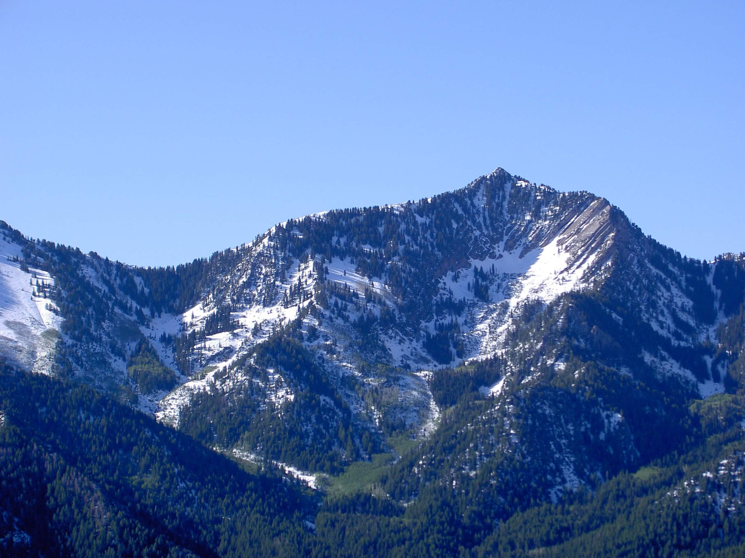
Mount Raymond via Alexander Basin Trail
Difficulty Rating:
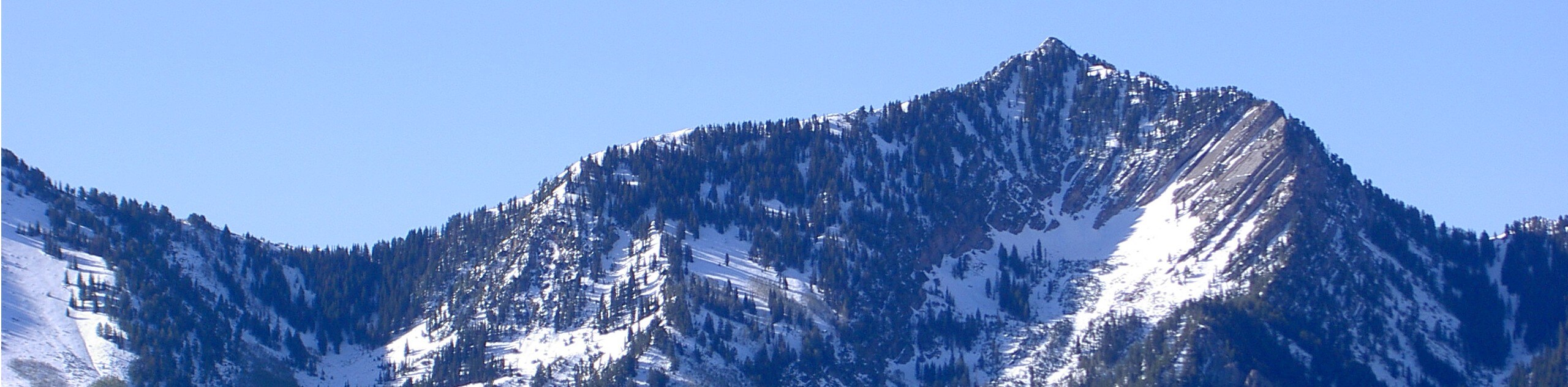
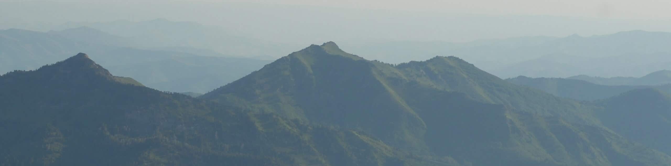
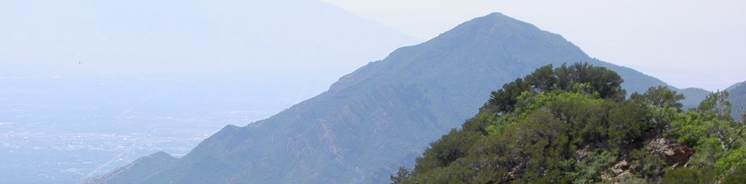
Mount Raymond via the Alexander Basin Trail is a challenging route for experienced hikers. This trail ascends over 4400ft to the top of Mount Raymond via a steep and rugged trail. The views from the top are totally worth it though, as you will earn an incredible panoramic view of the Utah Landscape stretching out before you from the summit.
Getting there
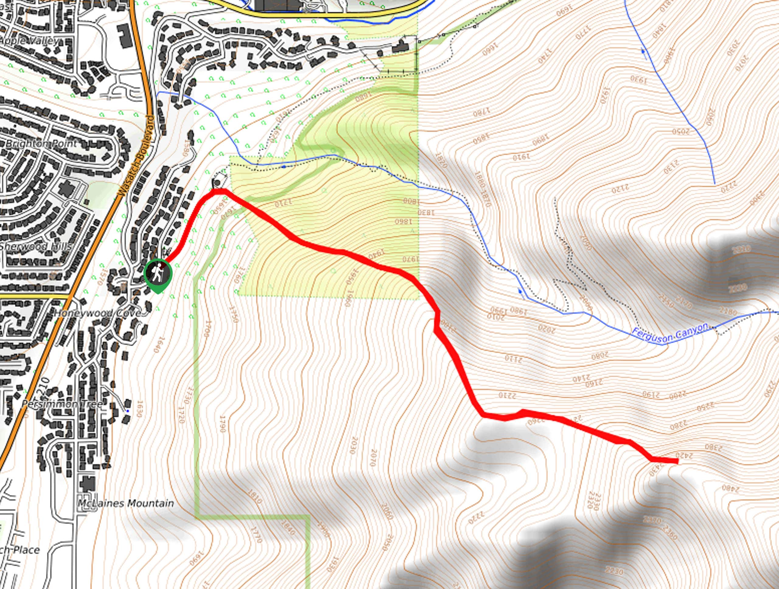
This hike begins at the Alexander Basin Trailhead on Mill Creek Canyon Road, east of Salt Lake City.

About
| Backcountry Campground | No |
| When to do | July to October |
| Pets allowed | Yes |
| Family friendly | No |
| Route Signage | Average |
| Crowd Levels | Low |
| Route Type | Lollipop |
Mount Raymond via Alexander Basin Trail
Elevation Graph
Weather
Mount Raymond via Alexander Basin Trail Description
The hike to the top of Mount Raymond via Alexander Basin is a fantastic challenge for experienced adventurers. This trail is demanding, featuring leg-burning climbs, steep descents, and scrambly interludes. Hikers need to be prepared for a big day with lots of snacks and more water than you think you’ll need. Hiking poles are strongly recommended on this route to aid with the steep grade. Dogs are allowed on this trail but keep in mind that this is a strenuous hike and may not be appropriate for all pups. If you are up for a challenge, this hike is an incredible route. Your lungs will be heaving and your legs will be burning, but the terrain and the views are entirely worth the effort! Don’t forget to bring a camera with you, as the summit overlooks along this trail will reward your hard work with panoramic views of the beautiful Utah landscape.
From the Alexander Basin Trailhead, follow the path to the west as it curves southward. The trail will divide approximately 0.9mi into the hike and you will stay left to continue south for another 1.3mi to the summit of Gobbler’s Knob (10220ft). Enjoy the views from the top of Gobbler’s Knob before continuing south. At Baker’s Pass, the trail will fork and you will take the middle path to head southwest on the Mount Raymond Summit Trail out-and-back to the peak.
After enjoying the summit views from Mount Raymond, backtrack to the fork and take the Bowman Fork Trail to head north. At the next divide, take a right and follow the Alexander-Bowman Trail back to the Alexander Basin Trail. Once you’re back in familiar territory, follow the path north back to the trailhead.
If you love your time on this hike, Mount Raymond can also be reached via the Butler Fork and Desolation Trail that begins along Big Cottonwood Canyon Road.
Similar hikes to the Mount Raymond via Alexander Basin Trail hike
Mount Raymond via Bowman Fork Trail
The hike to the top of Mount Raymond via the Bowman Fork is a challenging route for experienced hikers. This…
Millvue Peak Trail
The Millvue Peak Trail is a beautiful hike in the Uinta-Wasatch-Cache National Forest. This trail is steep and challenging but…
Houndstooth Trail
The Houndstooth Trail is a challenging hike in the Twin Peaks Wilderness Area. This route is rugged with rocky terrain…
Comments