Estes Cone Hike
View Photos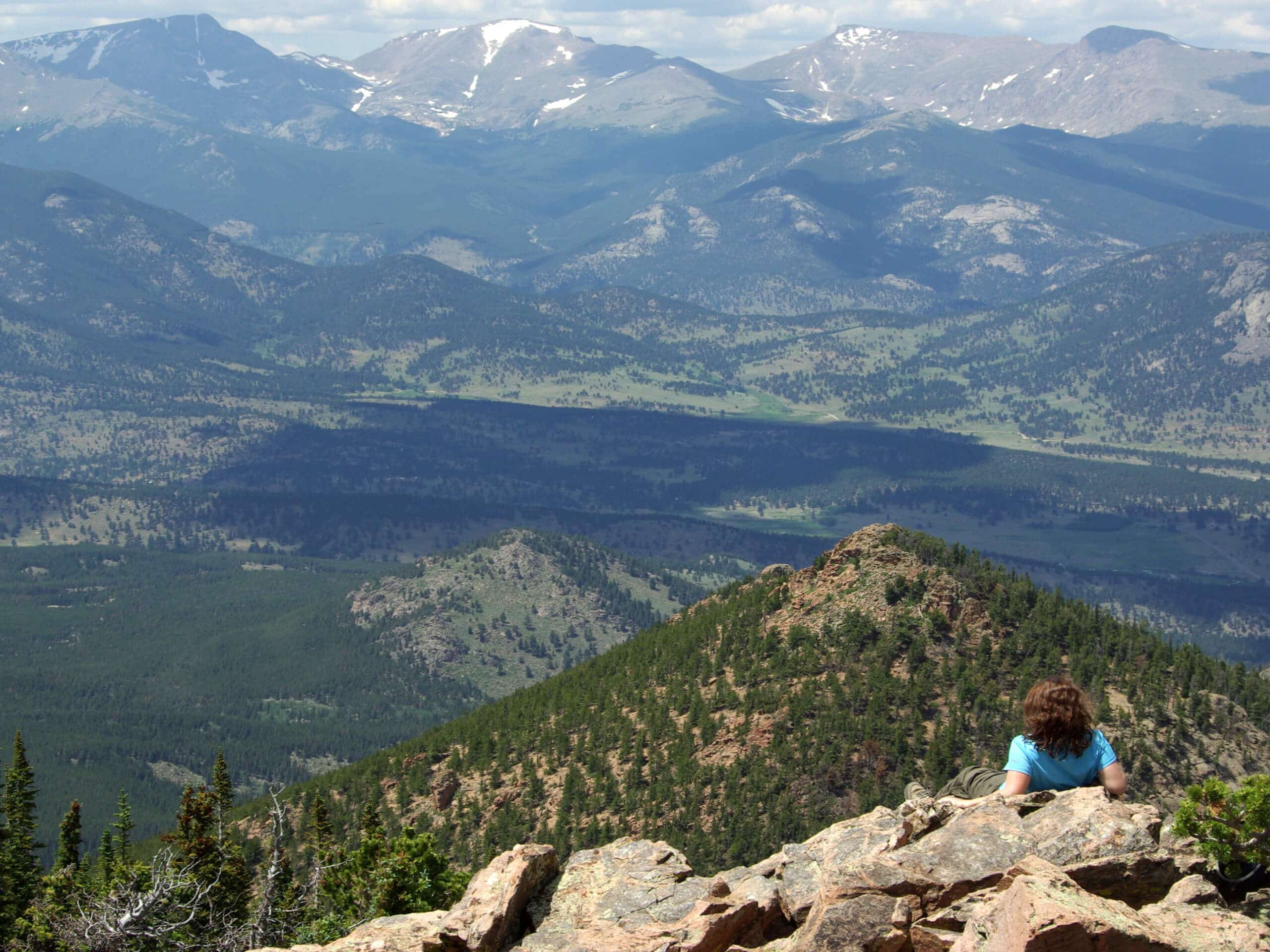
Estes Cone Hike
Difficulty Rating:
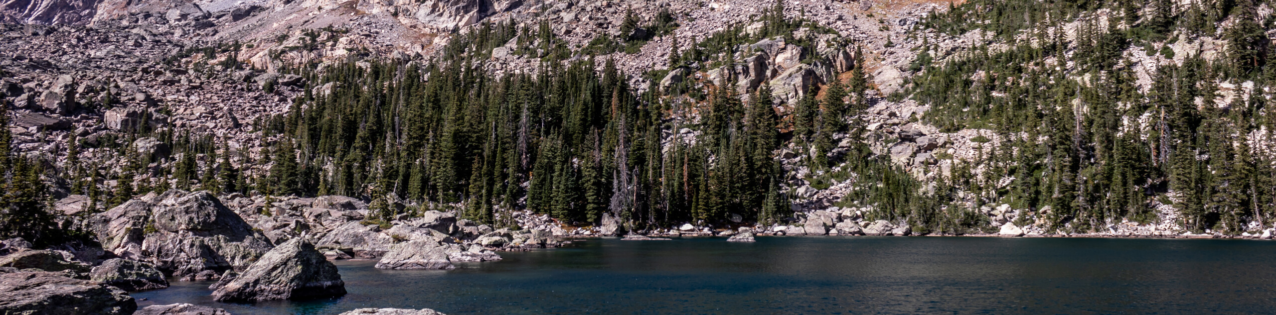
The Estes Cone Hike is an undeniably scenic excursion in the Rocky Mountain National Park. Hike through ponderosa pines and scramble up the rocky terrain to the summit. This trail does demand endurance, but those who conquer it are rewarded with dumbfounding vistas of the surrounding Colorado wilderness.
Getting there
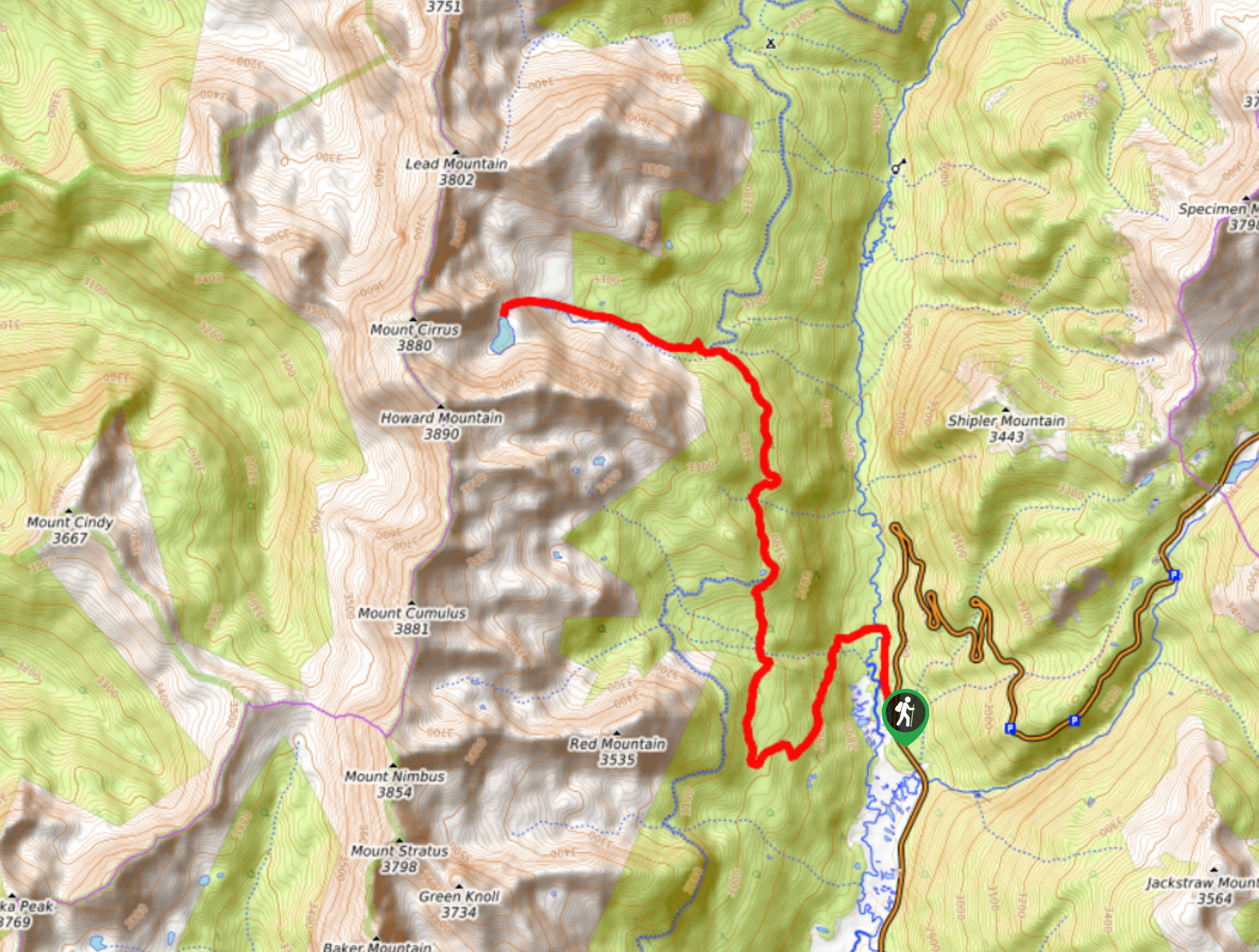
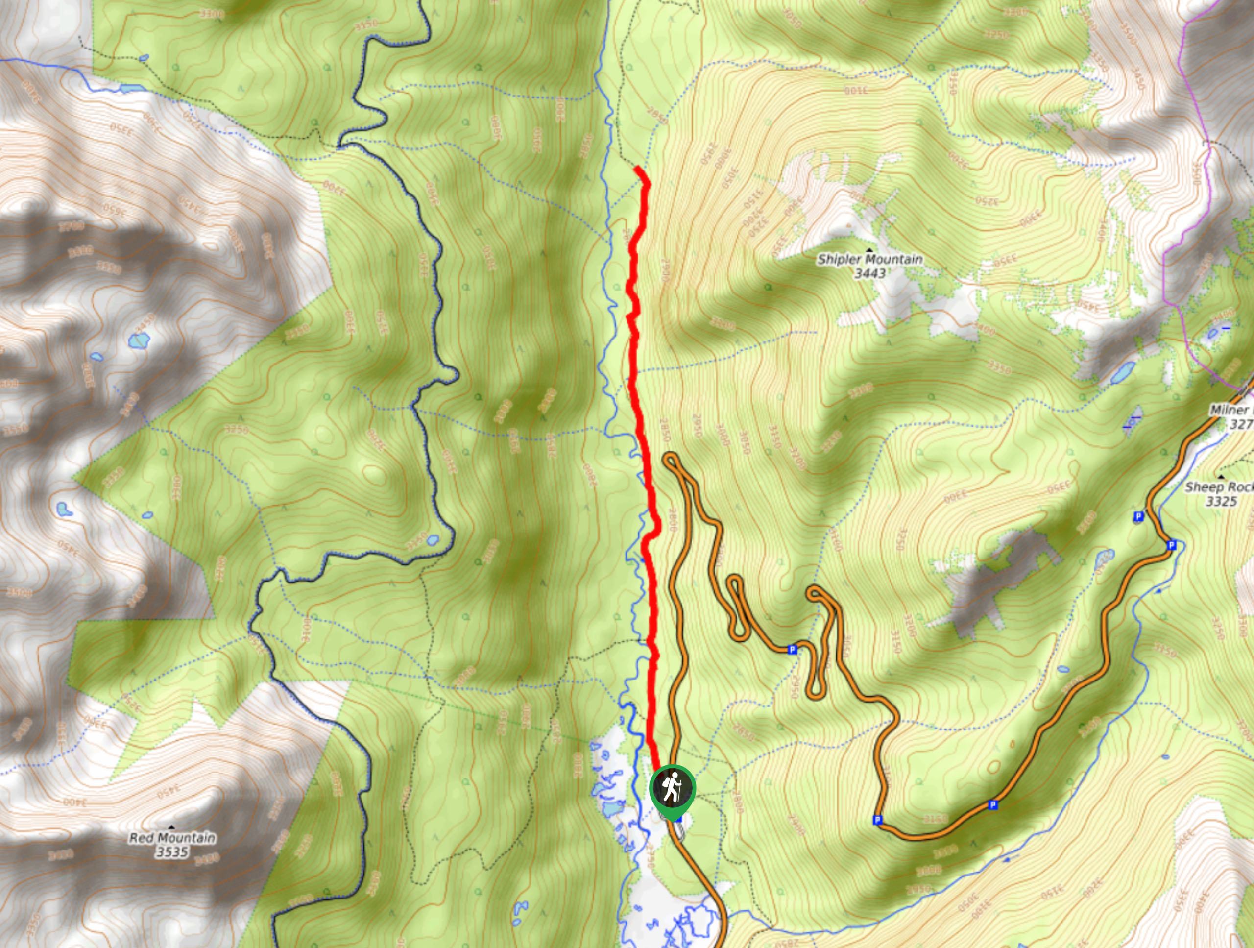
The Estes Cone Trailhead is located off the Longs Peak Road.

About
| Backcountry Campground | |
| When to do | May-November |
| Pets allowed | No |
| Family friendly | Older Children only |
| Route Signage | Average |
| Crowd Levels | High |
| Route Type | Out and back |
Estes Cone Hike
Elevation Graph
Weather
Estes Cone Hike Description
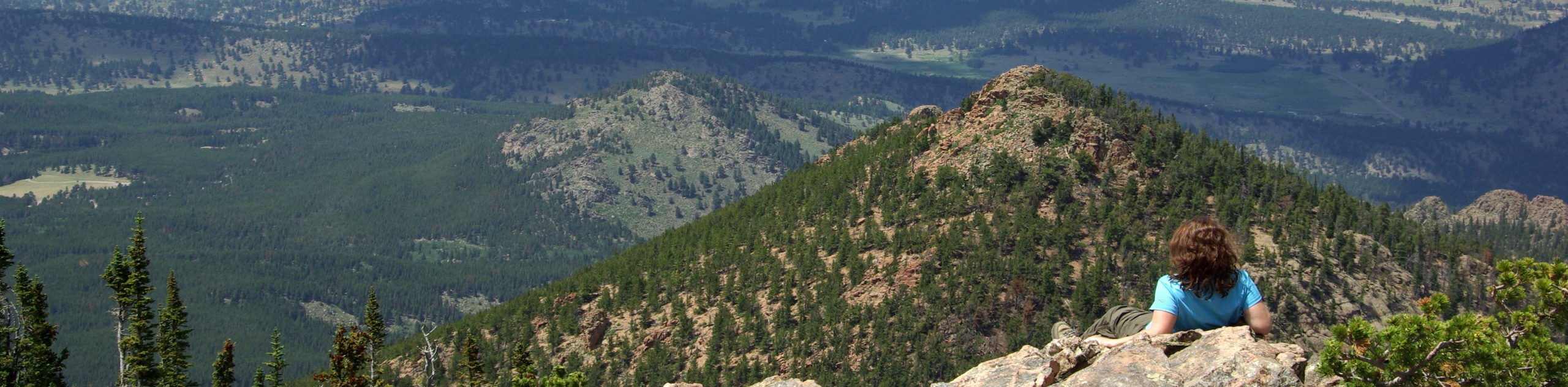
The Estes Cone Trail is an amazing adventure, but it demands an intrepid spirit. Hike the stunning woodland path up to the base of the mountain and scramble the rocky terrain all the way to the summit. If you make it to the peak, you will be granted expansive views of the Mummy Range, the Continental Divide, Estes Park and Longs Peak. Make sure you are wearing sturdy footwear before attempting this hike! Note that because the path is located within the Rocky Mountain National Park (RMNP), hikers are required to purchase a park pass.
Embark on your adventure along the Estes Cone Trail from the Longs Peak Trailhead. Track northwest on the path and you will shortly encounter a junction. Here, keep right and you will be diverted onto the Eugenia Mine Trail. Trek the forested path, noticing old mine remnants, and cross Inn Brook before arriving at a dispersed campsite. Just past the Moore Park campsite you will confront another intersection. At this point you will want to turn left, onto the Estes Cone Trail. This segment of the trail becomes increasingly rocky as you begin your final push to the summit.
Continue hiking the Estes Cone Trail and scramble up the boulder field. Eventually you will meet the summit and the views will counterbalance the exertion. Revel in the panoramic views of the RMNP and its snow-capped peaks that flank the verdant subalpine forests and shimmering lakes. Enjoy the scenery, and when you are ready, retrace your steps along the path back to the trailhead.
Similar hikes to the Estes Cone Hike hike
Lake of the Clouds Hike
The Lake of the Clouds Hike is a picturesque adventure on the western border of the Rocky Mountain National Park.…
Shipler Cabin Trail
The Shipler Cabin Trail is a magical adventure in the Rocky Mountain National Park through meadowlands and towering pines. Perfect…
Six Lakes Hike
The Six Lakes Hike is a stunning alpine adventure in the Rocky Mountain National Park. If you love lake hikes…
Comments