

Port Alberni Inlet Trail
View Photos
Port Alberni Inlet Trail
Difficulty Rating:
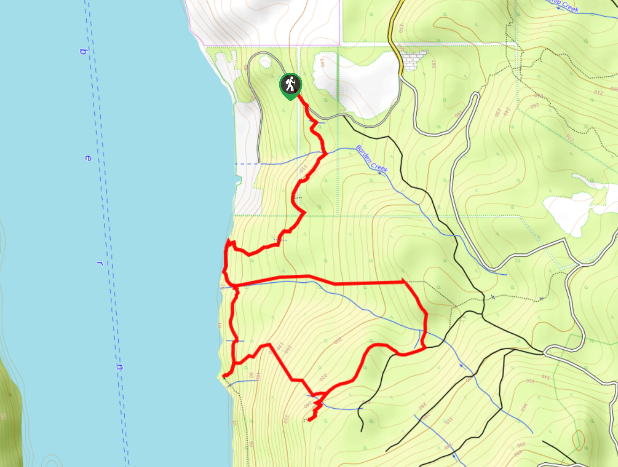
Hiking the Port Alberni Inlet Trail is an amazing experience near Port Alberni that will allow you to experience the rugged terrain and beautiful views along the edge of this lengthy body of water. While out on the trail, you will make your way through vibrant forests along the edge of the water and experience views of passing ships and floating timber along the shoreline. Hikers should take note that this is a point-to-point trail, meaning they will need to either arrange a pick up at the end of the route or backtrack along the trail, increasing the overall distance to a gruelling 24.9mi
Getting there
To reach the Port Alberni Inlet trailhead from Port Alberni, drive south along 3rd Avenue for 0.8mi and turn left onto Ship Creek Road, following it for 0.9mi. Make a right turn here to enter the parking area.

About
| When to do | April-October |
| Backcountry Campsites | No |
| Pets allowed | Yes - On Leash |
| Family friendly | Older Children only |
| Route Signage | Average |
| Crowd Levels | Low |
| Route Type | One Way |
Port Alberni Inlet Trail
Elevation Graph
Weather
Port Alberni Inlet Trail Description
Although it is a long trek along the waterline, the Port Alberni Inlet Trail is a fantastic journey that will expose you to some awesome hiking terrain and classic Vancouver Island views. Setting out from the trail head, you will make your way south through the dense forest, before climbing uphill and following the path as it bends to the west. Here, you will descend the hillside towards the edge of the inlet and follow it south, taking in the breathtaking views across the vast expanse of water. As you work your way around the forested lower slopes of Mount Hankin, you will experience some amazing views of floating logs and ships as they pass through the inlet, bringing goods to and from Port Alberni. Continue south along the edge of the water, working your way around Underwood Cove to eventually reach the flowing waters of the Franklin River as they empty out into the inlet. Reaching the end point of the trail, you can either wait for your pre-arranged pick up or backtrack along the trail to relive the 20km experience all over again from a different perspective.

Similar hikes to the Port Alberni Inlet Trail hike
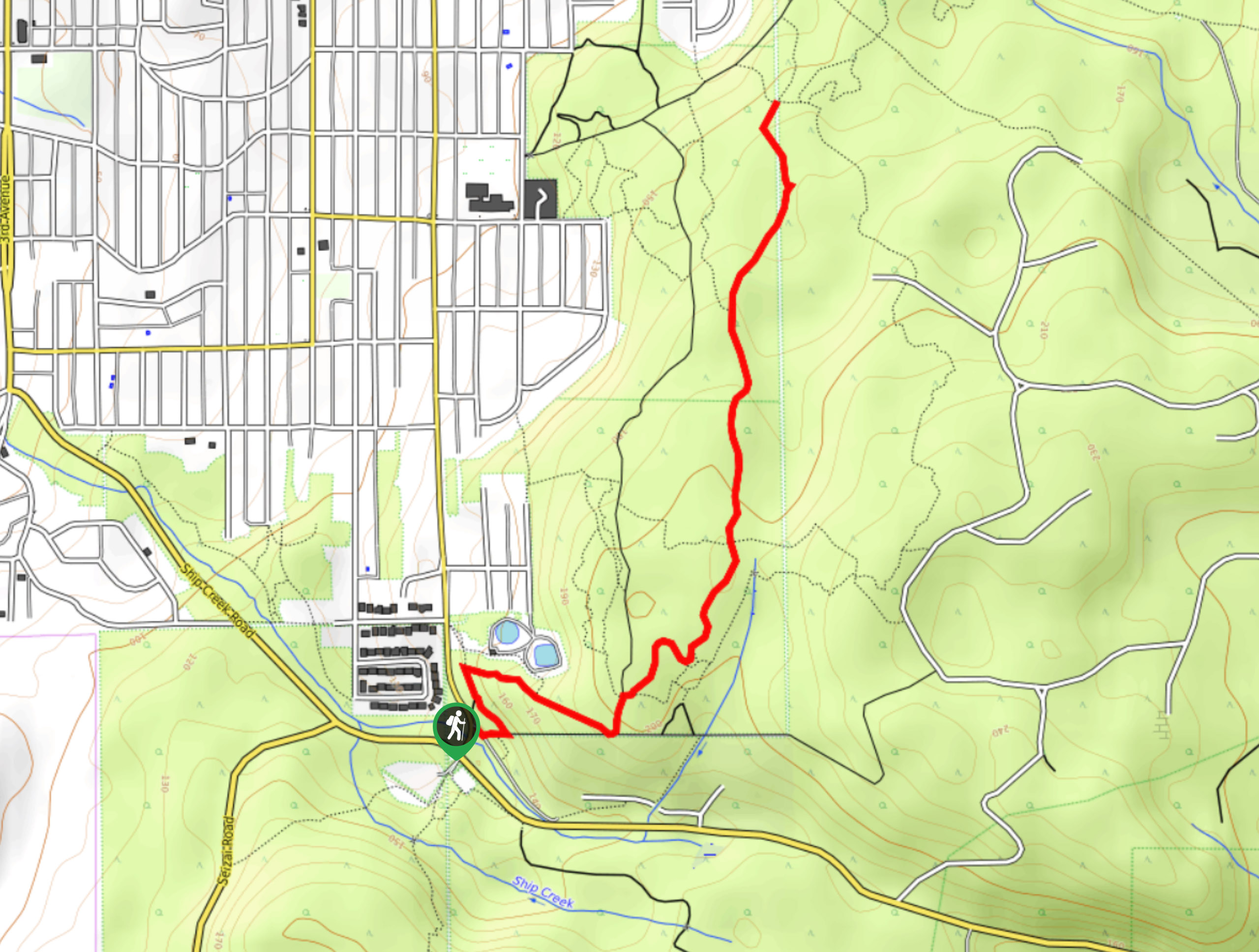
Mount Hankin Bluffs Loop Trail
The Mount Hankin Bluffs Loop is a moderate length lollipop hiking route just south of Port Alberni that will expose…
Fir Baby Trail
The Fir Baby Trail is a great hiking route on the eastern edge of Port Alberni, BC, that will lead…
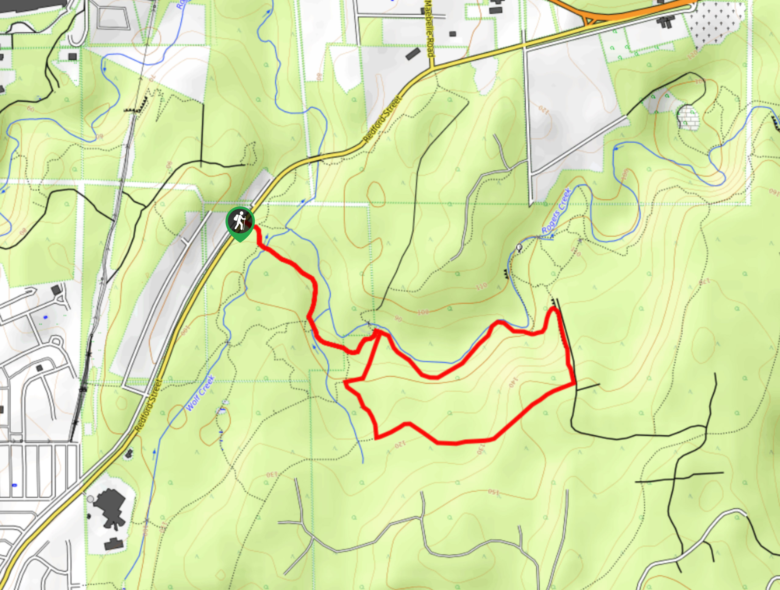
Roger’s Creek Nature Trail
Hiking the Roger’s Creek Nature Trail is an amazing family-friendly adventure just outside of Port Alberni that will expose you…
Klaasvw 2 years ago
Looking for a walking companion on this trail, retired, free almost any time