Bolinas Ridge Loop
View Photos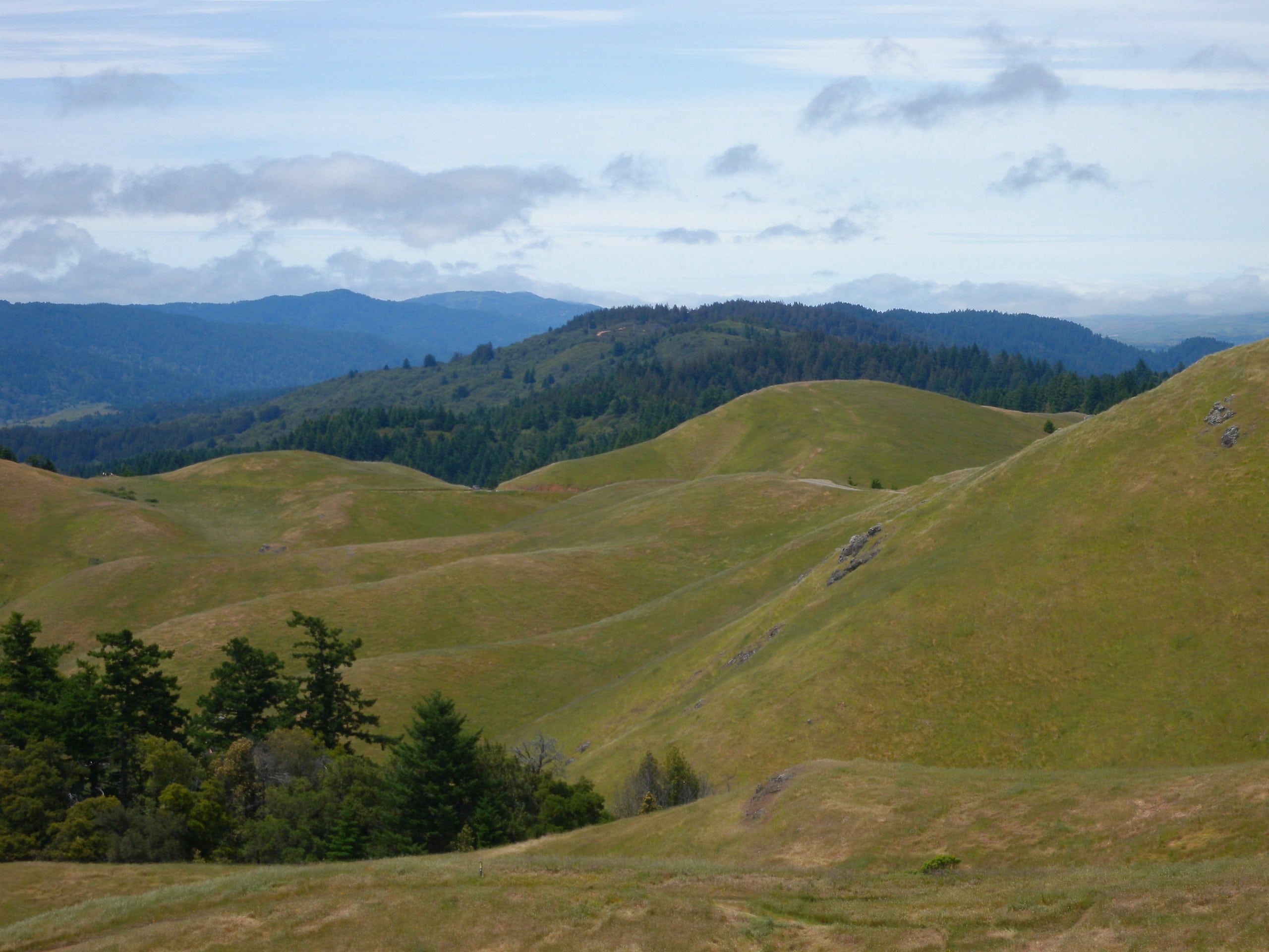
Bolinas Ridge Loop
Difficulty Rating:
The Bolinas Ridge Loop is a stunning adventure through diverse topographies in the Samuel P. Taylor State Park. Located near San Francisco, this route is an ideal escape from the city. Reconnect with nature and get a workout in as you venture this scenic trail.
Getting there
The Bolinas Ridge Loop departs from the Shafter Grade Trailhead off Sir Frances Drake Boulevard.

About
| Backcountry Campground | |
| When to do | Year-round |
| Pets allowed | No |
| Family friendly | Older Children only |
| Route Signage | Average |
| Crowd Levels | Moderate |
| Route Type | Circuit |
Bolinas Ridge Loop
Elevation Graph
Weather
Bolinas Ridge Loop Description
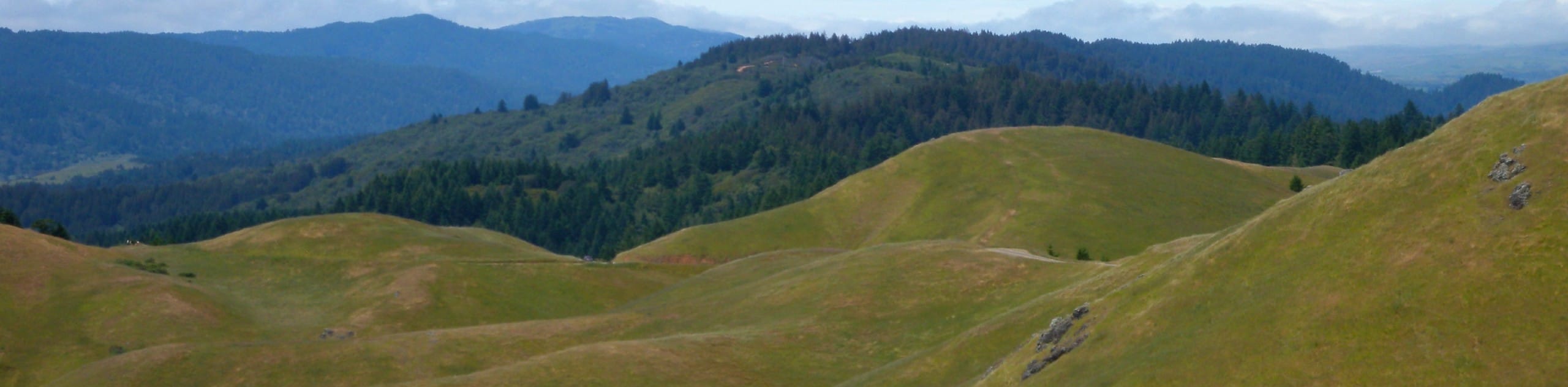
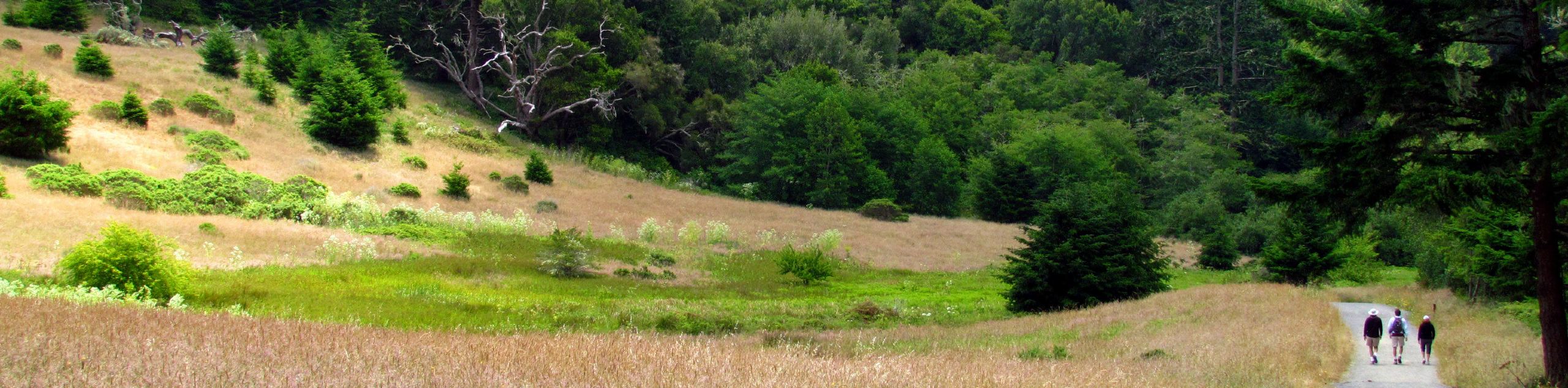
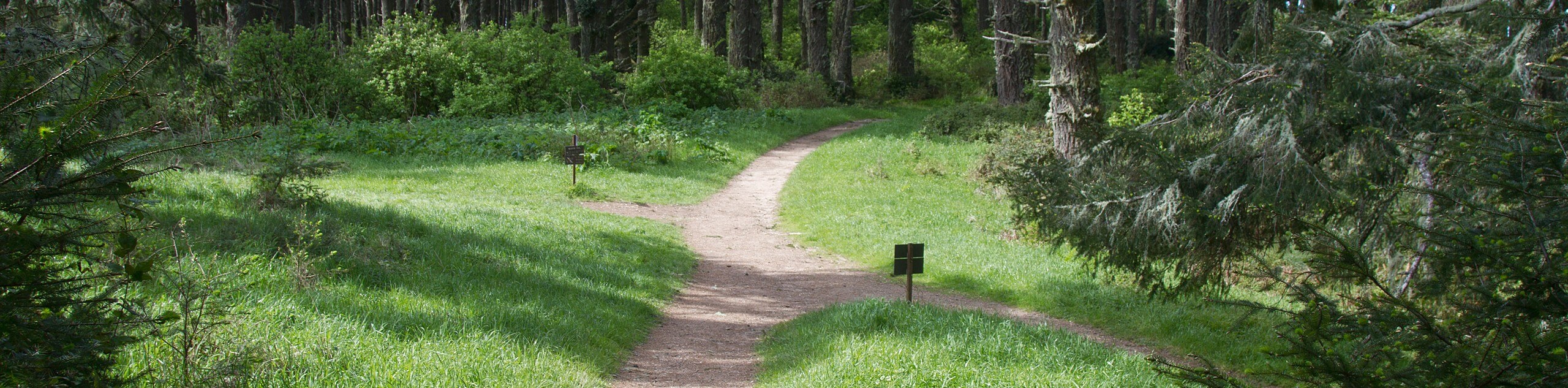
Immerse yourself in the coastal wilderness along the Bolinas Ridge Loop. This wonderful adventure wanders through luxuriant meadows, dense woodlands, cattle ranches, and along beautiful creeks. Shared with mountain bikers, you will likely run into fellow adventurers as you travel this trail. However, if you seek a more secluded adventure, we encourage you to head out in the early morning to beat the crowds. Note there is poison oak along the trail—wear long pants or maintain on the marked path to avoid exposure. The Samuel P. Taylor State Park charges a day-use fee which typically costs $8USD.
Setting out from the trailhead, the Bolinas Ridge Loop Hike follows the Shafters Grade Trail south, along the Lagunitas Creek, before diverting southwest up several switchbacks. Following the navigation of the winding path, you will confront an intersection. Here, turn right onto the Bolinas Ridge Trail, heading northwest. This path will reveal views of the encompassing mountainous wilderness before guiding you east down the Jewell Trail. This route will descend another set of switchbacks to a junction.
Veer right here, and you will be diverted onto the Cross Marin Trail. Follow this route through the redwood groves along Lagunitas Creek and onto the South Creek Trail. Continue along this path, eventually reconnecting with the Cross Marin Trail, which will ultimately deliver you back to the trailhead.
Similar hikes to the Bolinas Ridge Loop hike
Wildcat Camp Trail to Alamere Falls
The Wildcat Camp Trail to Alamere Falls Hike is an amazing adventure that travels to one of the world’s rare…
Mount Wittenburg and Bear Valley Loop
Immerse yourself in California’s coastal wilderness along the Mount Wittenburg and Bear Valley Loop. This epic day hike travels through…
Old Pine, Sky, and Meadow Loop
The Old Pine, Sky, and Meadow Loop is a relatively unfrequented trail in the Point Reyes National Seashore that offers…
Comments