Tom's Thumb Trail
View Photos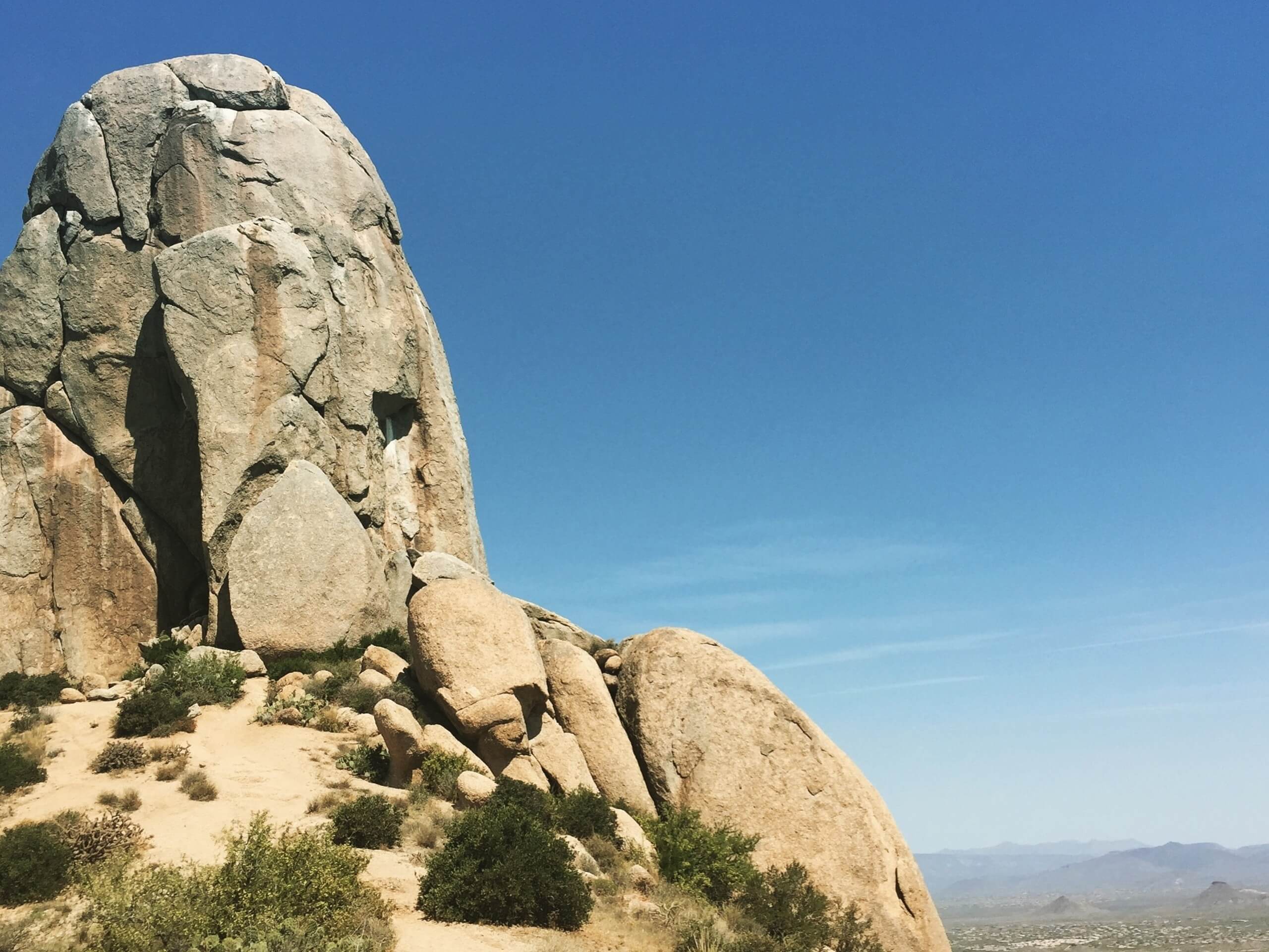
Tom's Thumb Trail
Difficulty Rating:
Tom's Thumb Trail is a fabulous 4.0mi out and back hike in the McDowell Sonoran Preserve. This route climbs up next to East End Peak to Tom’s Thumb, a viewpoint over the McDowell Mountains and the city of Phoenix. This spot is named for Tom Kreuser, the first member of the Arizona Mountain Club to climb it 45 years ago. The hike is hard, ascending over 1300ft on the upward journey. While the trail isn’t all that technical, it’ll get your heart rate up!
Kids can complete this hike as long as they’re active and likely a bit older. Dogs are permitted as long as they’re kept on leash. There isn’t any water at the trailhead, so come prepared with all you’ll need (and you might need a lot!).
Getting there
The trailhead for Tom's Thumb Trail is on the trail access road off N 128th Street.

About
| Backcountry Campground | No |
| When to do | October-May |
| Pets allowed | Yes - On Leash |
| Family friendly | Older Children only |
| Route Signage | Average |
| Crowd Levels | High |
| Route Type | Out and back |
Tom's Thumb Trail
Elevation Graph
Weather
Tom's Thumb Trail Description
Tom’s Thumb Trail is a hard hike in the McDowell Sonoran Preserve, one of the best natural areas near Scottsdale. This hike climbs up past East End Peak to a viewpoint over the McDowell Mountains and the city of Phoenix spread out below. The view is a treat and the hike is relatively short, so if you’re a fit hiker, the bang for your buck is definitely there.
Yes, we mentioned fit hikers. Tom’s Thumb Trail is hard despite being relatively short. You’ll gain over 1300ft of elevation in less than 2.5mi, so while the route isn’t particularly technically challenging, you’ll definitely get your legs going. Young kids and beginners will likely struggle with this hike, but we encourage you to test it out.
A few notes about hiking in this area: you’ll need to prepare for the hot sun. Avoid this hike (and any hike, really) during the heat of the day in warmer months. Bring plenty of water–there isn’t any at the trailhead, so bring all you’ll need with you. Finally, consider sun protection like a hat and sunscreen.
The McDowell Sonoran Preserve is a sensitive natural habitat. Please remember to stay on the designated trails and keep dogs leashed and on the trails as well. Take your trash with you, including doggy waste.
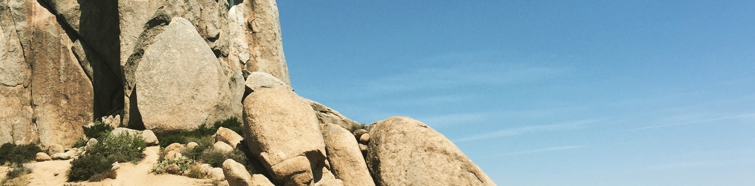
Keep an eye out for a few things on this trail: there are fascinating mushroom-shaped rock formations to see as you climb. If you visit in roosting season, you could see nests of birds of prey. Mule deer also commonly graze near the flatter start of this hike.
From the trailhead, hike past the restrooms and stay right at the first fork. Once you reach a T-intersection, stay right again. Your warmup is over and it’s time to climb!
Take the first set of switchbacks up the hike. Once you reach Raven’s Roost, enjoy your first viewpoint. More switchbacks come after Raven’s Roost, but you’ll have another nice place to catch your breath at the second lookout on the trail.
Admire East End Peak up and to your left as you climb. You’ll hike up to the saddle between the peak and the one west of it. At the saddle, bear right. There’s a trail that continues straight, but it descends off the backside of the mountain.
Most of the climbing is done at this point. There are amazing giant boulders up here. You’ll hike in between two that lean into one another as you head west. At the next junction, continue straight through.
The thumb is impossible to miss. It looks, well, like a thumb, sticking straight up out of the earth. Admire its (yes, thumblike) shape, then turn your attention to the view. Take your time up here, catch your breath, and savor the sightlines.
When you’re ready, you’ll retrace your steps back to the trailhead. Strong hikers with enough water can explore the trails that connect here, including Lookout Trail, which stretches south a short distance to a lookout.
Hiking Route Highlights
McDowell Sonoran Preserve
The McDowell Sonoran Preserve is a permanently protected desert habitat north of Scottsdale, Arizona. This preserve offers a vast network of hiking, biking, running, and equestrian trails. The preserve contains Granite Mountain and Brown’s Summit among other lower peaks. In this protected habitat, local flora and fauna are able to thrive, providing an excellent experience for visitors.
Frequently Asked Questions
Who owns the McDowell Sonoran Preserve?
The preserve is owned by the residents of Scottsdale and managed through a partnership with the City of Scottsdale and the McDowell Sonoran Conservancy, a nonprofit, volunteer-run organization.
How big is the McDowell Sonoran Preserve?
The preserve covers more than 30,500 acres.
Is Tom’s Thumb harder than Camelback?
No, this hike isn’t as hard as Camelback, nor does it see quite as much traffic.
Insider Hints
Climbers can enjoy several routes to the top of this hike, ranging from 5.2 to 5.11-.
Try a midweek hike if you want more of the trail to yourself.
Similar hikes to the Tom's Thumb Trail hike

Palisade to Basalt Loop
The Palisade to Basalt Loop is a short, easy trail in the Deem Hills Recreation Area. This hike is 1.4mi

Two Bit and Rattle Saddle Loop
The Two Bit and Rattle Saddle Trail is a moderately challenging hike in the Phoenix’s Mountain Preserve near Piestewa Peak.…

Ma-Ha-Tauk and Crosscut Loop
The Ma-Ha-Tauk and Crosscut Loop is a moderate hike in Phoenix’s South Mountain Preserve. With pleasant views and not much…
Comments