Superstition Peak 5057 via Hieroglyphic Trail
View Photos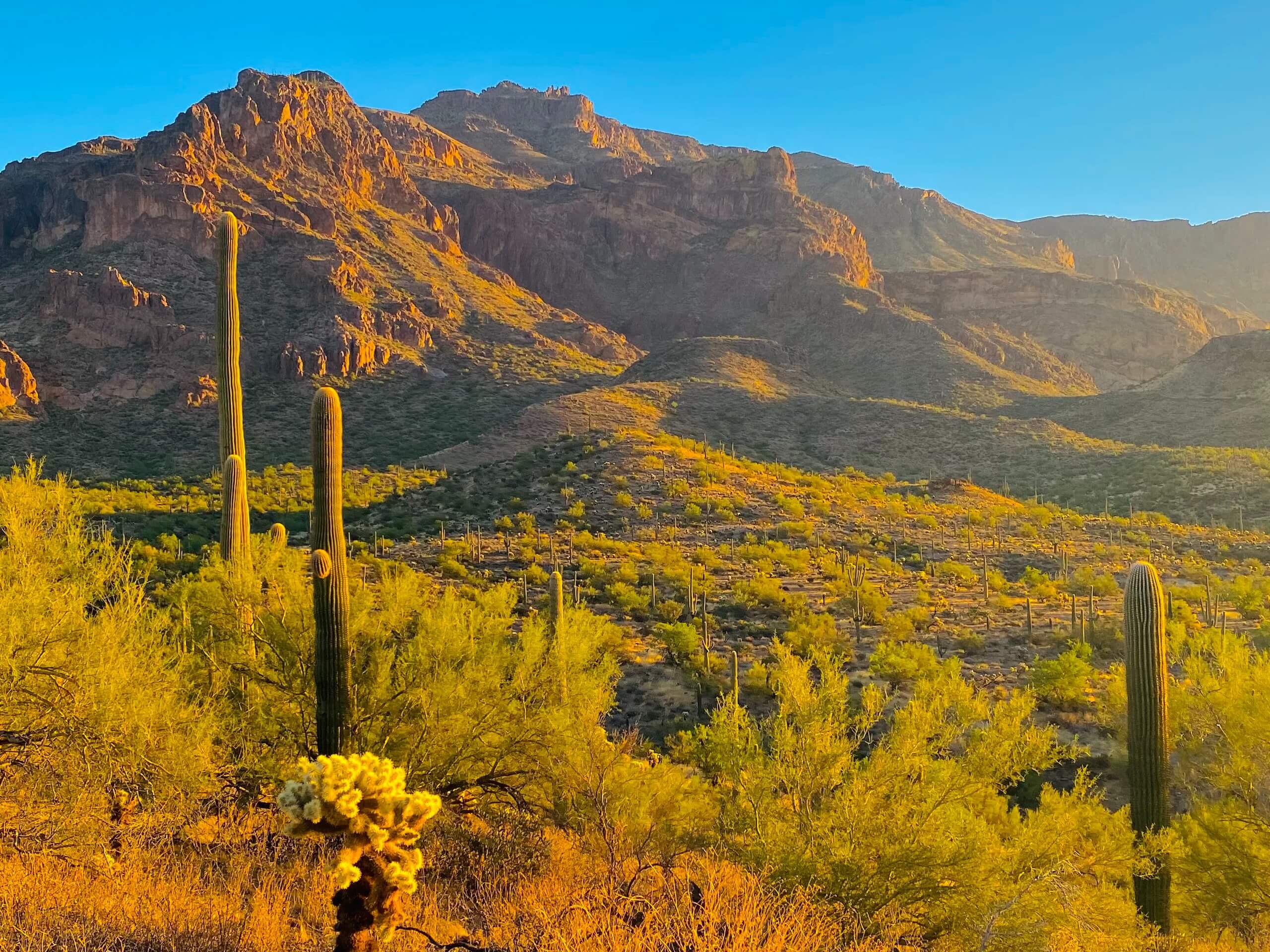
Superstition Peak 5057 via Hieroglyphic Trail
Difficulty Rating:
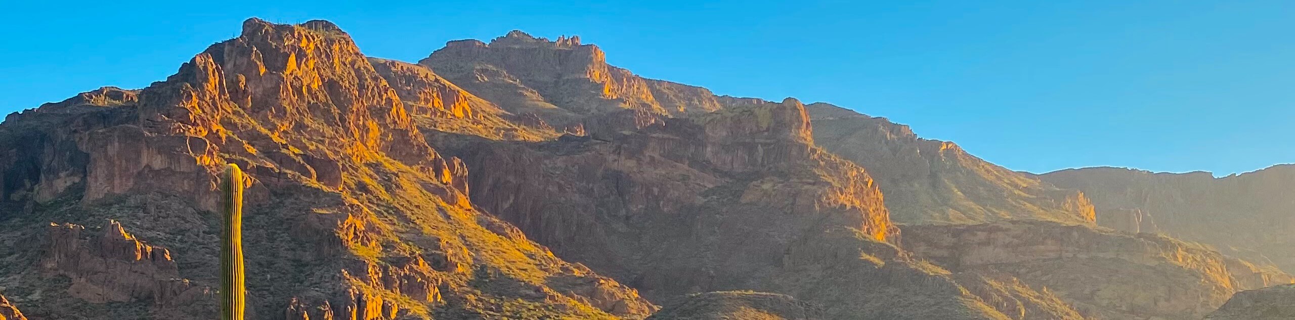
This hike leads you to the top of Peak 5057 in Arizona’s Superstition Mountains. You’ll follow the Hieroglyphic Trail, a fun route that leads you into a canyon decorated with petroglyphs. These images date back over 1,500 years when the Hohokam tribe lived here. You’ll have great views of the upper peaks of the Superstition Mountains over 2000ft above you. Expect moderate traffic on this hike.
Getting there
The trailhead for this hike is on E Cloudview Avenue.

About
| Backcountry Campground | No |
| When to do | October-May |
| Pets allowed | No |
| Family friendly | No |
| Route Signage | Average |
| Crowd Levels | Moderate |
| Route Type | Out and back |
Superstition Peak 5057 via Hieroglyphic Trail
Elevation Graph
Weather
Superstition Peak 5057 via Hieroglyphic Trail Description
This hike leads you up towards the base of the mighty Superstition Mountains into a canyon where petroglyphs decorate the basalt boulders and walls. You’ll hike through this canyon up to a ridge, which you’ll traverse to the top of Peak 5057. Expect a hard hike that pays off with gorgeous views of the mountains that surround you.
The hike to the petroglyphs is usually busier than the hike to the peak, so expect heavier traffic in the first half and lighter traffic in the second half. You should prepare for a strenuous climb by starting your hike early in the cool morning and bringing lots of water.
From the trailhead, head out on the trail, keeping left immediately as it zig-zags to a junction surrounded by teddy bear cholla. Stay left here (if you zig-zag more after this point, you didn’t stay far enough left). The Lost Goldmine Trail heads off to the right.
Pass a gate marking the boundary of the Superstition Wilderness. You’ll hike along a low ridgetop for about half of a mile. You’ll descend into a wash near the opening of the Hieroglyphic Canyon. Here, the footing becomes looser and rockier, so watch your steps.
Reach a short cliff overlooking a collection of volcanic rocks. Follow the stream to find the petroglyphs, most of them on the far side, carved into the dark basalt rocks. Continue to the T-junction and begin your ascent of the ridgeline to the top. From the top, retrace your steps to the trailhead.
Similar hikes to the Superstition Peak 5057 via Hieroglyphic Trail hike

Two Bit and Rattle Saddle Loop
The Two Bit and Rattle Saddle Trail is a moderately challenging hike in the Phoenix’s Mountain Preserve near Piestewa Peak.…

Ma-Ha-Tauk and Crosscut Loop
The Ma-Ha-Tauk and Crosscut Loop is a moderate hike in Phoenix’s South Mountain Preserve. With pleasant views and not much…

Coach Whip Hike
The Coach Whip hike is a route in the Thunderbird Conservation Park in Glendale. The park mostly draws residents who…
Comments