Pinnacle Peak Trail
View Photos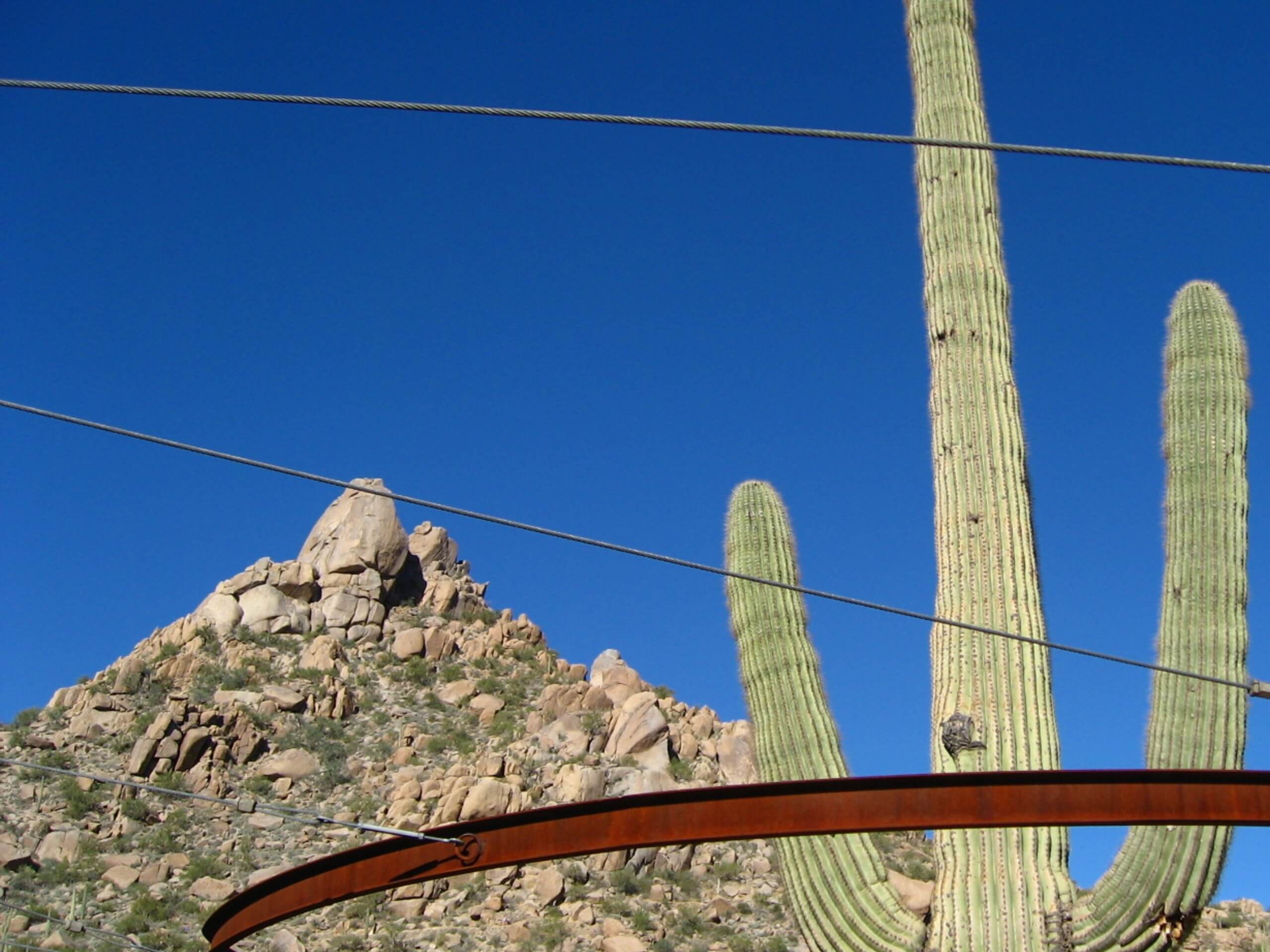
Pinnacle Peak Trail
Difficulty Rating:
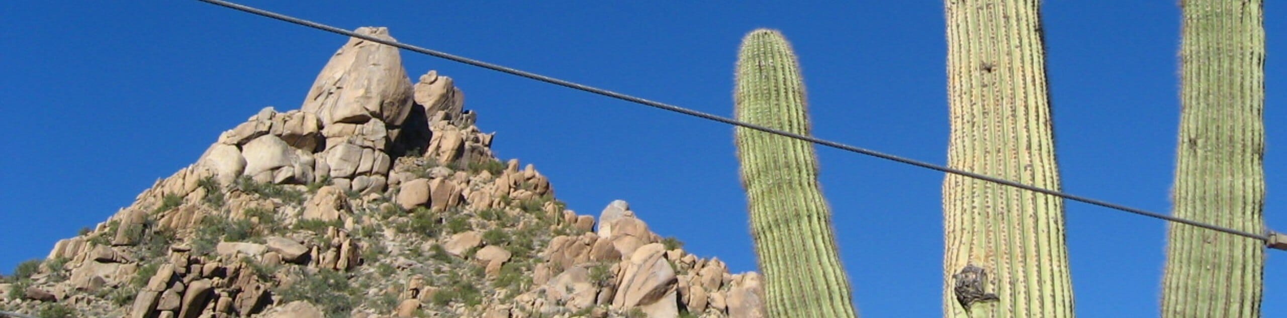
Pinnacle Peak Trail might be a little bit of a misnomer, but bear with us. While this hike doesn’t actually reach the pinnacle of any peak, it gives you a great look at Pinnacle Peak and the peak next to it. For a pretty relaxed trail, there are some great mountain views to be discovered here. Being just south of the McDowell Sonoran Preserve, you can see the mountains in the preserve from this trail, too.
This hike is suitable for most ages and skill levels. It’s a popular pick with trail runners and joggers and it can get busy. Try to visit in the middle of the week if at all possible.
Getting there
The trailhead for the Pinnacle Peak Trail is off E Pinnacle Peak Parkway.

About
| Backcountry Campground | No |
| When to do | October-May |
| Pets allowed | No |
| Family friendly | Yes |
| Route Signage | Average |
| Crowd Levels | High |
| Route Type | Out and back |
Pinnacle Peak Trail
Elevation Graph
Weather
Pinnacle Peak Trail Description
Pinnacle Peak Trail is a great 4-mile hike that’s enjoyed by hikers, runners, and climbers bound for the climbing routes on Pinnacle Peak. This route might deceive you a bit with its name–it’s not as hard as it sounds. You won’t be climbing up a peak, but you will be enjoying Pinnacle Peak and the summit next to it as you hike.
This route shows off the unique rock formations this desert is known for, where rocks have been eroded over years into fascinating shapes and towers. Check out the saguaros dotting the desert and see what other plants and animals you can spot… Cholla, lizards, barrel cactus, roadrunners, and more are common here.
This hike is located near the McDowell Sonoran Preserve, and the mountains of the preserve are nicely visible from this trail. For hikers in the Scottsdale area, this route is a convenient escape into nature that you don’t even have to leave the city for.
Bring lots of water with you on this hike as shade is very limited. There are water fountains near the restrooms at the trailhead. Consider sun protection and aim to hike outside of the heat of the day.
This is a super popular mixd-use trail. Aim to hike outside of peak hours if at all possible, or try a midweek hike if you’re able to. Watch for runners and remember that dogs are not allowed in this park.
From the trailhead, pass the restrooms and the fountains and begin to switchback up towards the peak. There’s an awesome view to behold just before the traverse along Pinnacle Peak. Head northwest, then stop to take in the impressive view over the nearby preserve and up at the peaks.
After this second great view, turn left and hike south towards the peak. You’ll skirt along the side of it, descending down switchbacks. Cross the saddle between the two peaks and then climb along the north face of the second peak.
The trail ends at the road past the peak, but you can turn back as soon as you’re done exploring the second peak. Retrace your steps from here back to the trailhead.
Hiking Route Highlights
Pinnacle Peak Park
Pinnacle Peak Park is a designated park in the Sonoran Desert near Scottsdale used by hikers, trail runners, and climbers. The park is defined by two peaks and offers a great hiking trail that explores both of these peaks. Users can enjoy restroom facilities and water fountains at the park and access to trail maps and information on the City of Scottsdale park website.
Frequently Asked Questions
Are dogs allowed at Pinnacle Peak Park?
No, dogs are not allowed in this park.
Does Pinnacle Peak Park close?
Yes, the park closes at dusk each evening.
Insider Hints
There are rattlesnakes active in the park. Stay on the designated trails and back away slowly from any snakes you see or hear.
There are park maps available at the trailhead if you need one.
Similar hikes to the Pinnacle Peak Trail hike

Palisade to Basalt Loop
The Palisade to Basalt Loop is a short, easy trail in the Deem Hills Recreation Area. This hike is 1.4mi

Two Bit and Rattle Saddle Loop
The Two Bit and Rattle Saddle Trail is a moderately challenging hike in the Phoenix’s Mountain Preserve near Piestewa Peak.…

Ma-Ha-Tauk and Crosscut Loop
The Ma-Ha-Tauk and Crosscut Loop is a moderate hike in Phoenix’s South Mountain Preserve. With pleasant views and not much…
Comments