North Mountain Trail
View Photos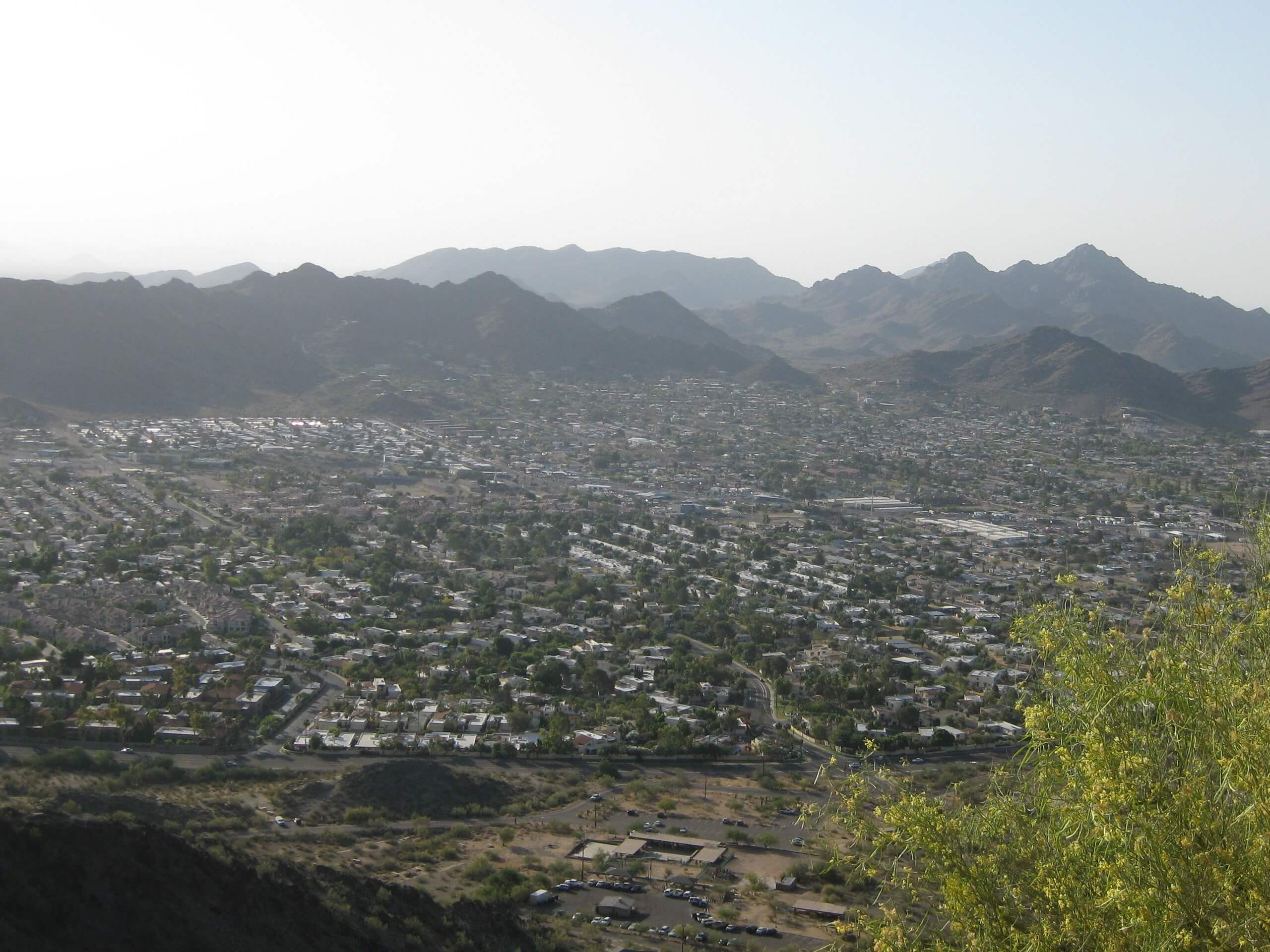
North Mountain Trail
Difficulty Rating:
North Mountain Trail leads you to the top of 2060ft North Mountain in the Phoenix Mountain Preserve north of Phoenix. With the preserve stretching east and southeast, the views on this hike perfectly combine the city and the mountains. This approach to North Mountain is a bit of a sprint–it’s short, somewhat steep, and straightforward. Expect heavy traffic.
Getting there
The trailhead for the North Mountain Trail is on N Mountain Park.

About
| Backcountry Campground | No |
| When to do | October-May |
| Pets allowed | Yes - On Leash |
| Family friendly | Yes |
| Route Signage | Good |
| Crowd Levels | High |
| Route Type | Out and back |
North Mountain Trail
Elevation Graph
Weather
North Mountain Trail Description
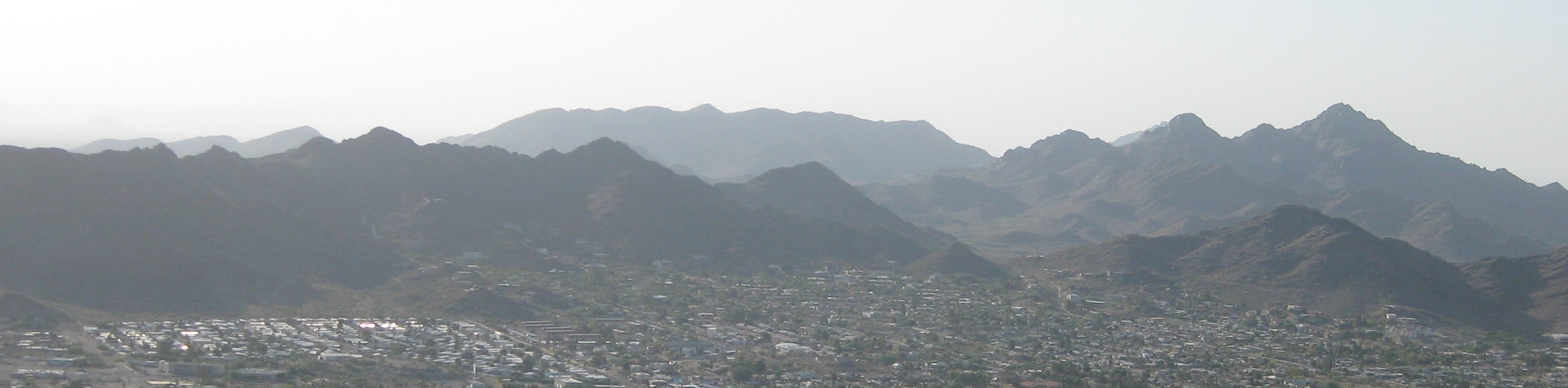
North Mountain rises above the Phoenix area, offering a fantastic summit with expansive views of the city and the Phoenix Mountain Preserve to the southwest. The views are at their best at sunset when the mountains over the city are silhouetted in orange and yellow. This approach to the mountain is short, straightforward, and as efficient as it gets. It’s quicker than doing the loop of the North Mountain National Trail.
As with all hikes in the Phoenix area, make sure you bring lots of water with you, hike outside the heat of the day, and consider sun protection. We generally suggest avoiding hiking in the summertime because of the risk of dehydration or heat stroke.
From the trailhead, the first fifth-mile climbs through a rocky section. This part might be too difficult for older hikers or those with mobility challenges. Making your way up the rocky stretch, you’ll eventually connect to the paved part of the trail.
While paved, this route is still quite steep. Take breathers at the numerous overlooks and viewpoints you’ll find on the way. You’re at the top once you reach the satellite towers. Looking south, you can see Central Avenue reaching towards the skyscrapers of downtown. Opposite downtown, you can see the mountains framing the city suburbs. When you’re ready, return on the same trail.
Similar hikes to the North Mountain Trail hike

Palisade to Basalt Loop
The Palisade to Basalt Loop is a short, easy trail in the Deem Hills Recreation Area. This hike is 1.4mi

Two Bit and Rattle Saddle Loop
The Two Bit and Rattle Saddle Trail is a moderately challenging hike in the Phoenix’s Mountain Preserve near Piestewa Peak.…

Ma-Ha-Tauk and Crosscut Loop
The Ma-Ha-Tauk and Crosscut Loop is a moderate hike in Phoenix’s South Mountain Preserve. With pleasant views and not much…
Comments