Javelina Canyon and Ridgeline Loop
View Photos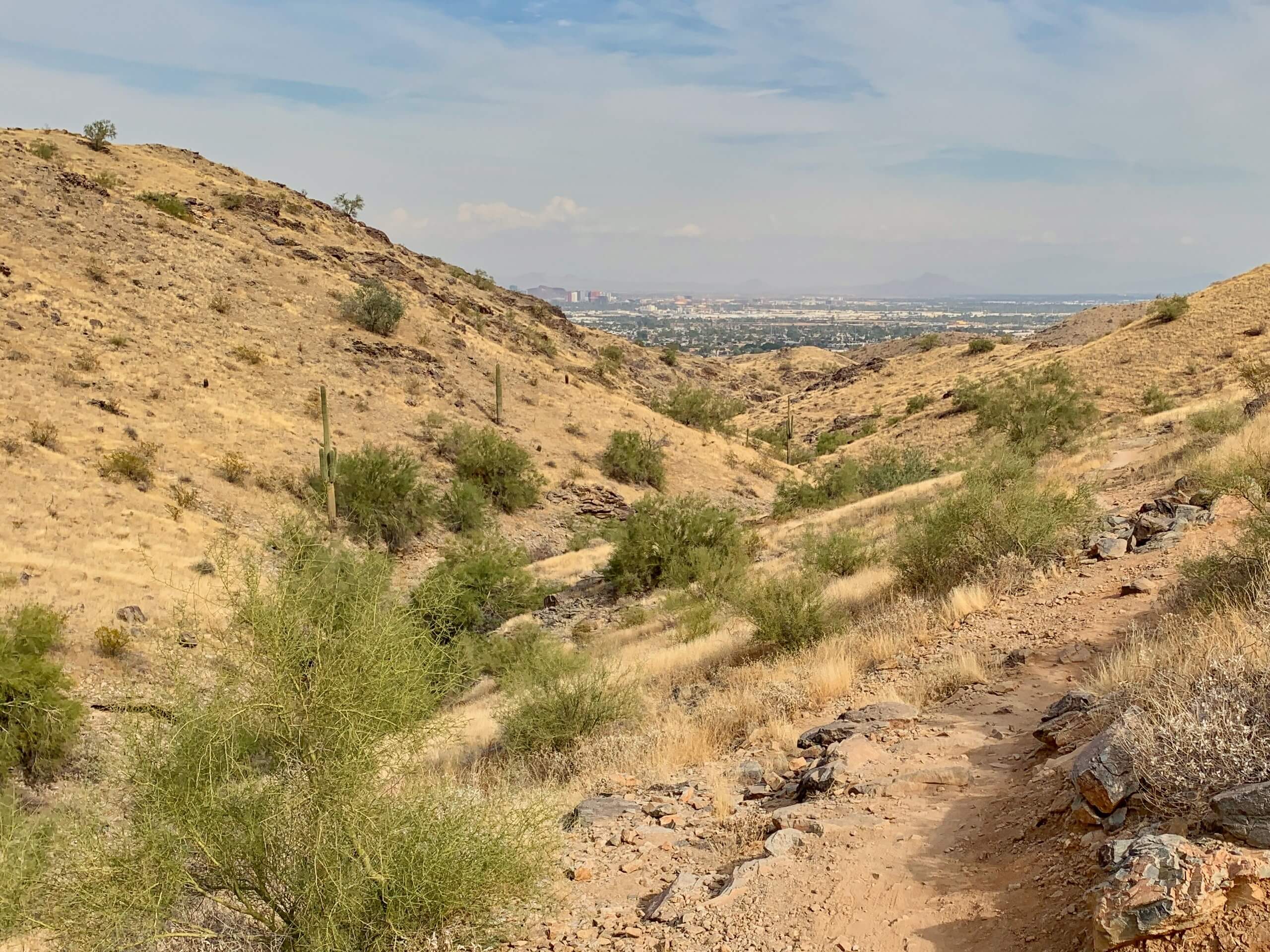
Javelina Canyon and Ridgeline Loop
Difficulty Rating:
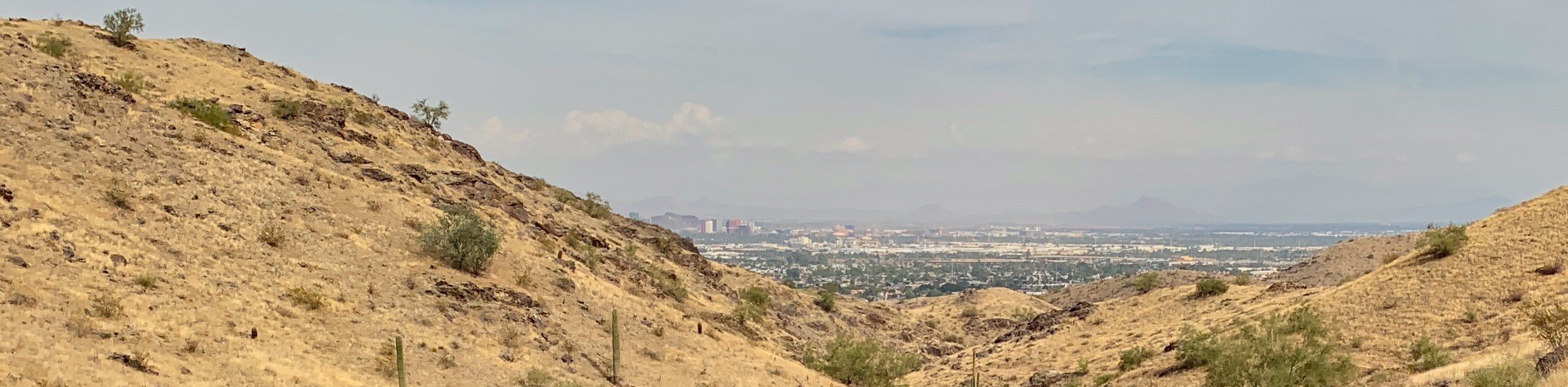
The Javelina Canyon and Ridgeline Loop makes use of two popular trails in the South Mountain Preserve of Phoenix to offer a 3.7mi hike with varied terrain and pleasant views. This loop travels partly through a canyon and then along a short ridgeline, giving you a vantage point of the city spread below and the mountains in the rest of the preserve. Expect heavy traffic on this hike.
Getting there
The trailhead for the Javelina Canyon and Ridgeline Loop is on S 46th Street.

About
| Backcountry Campground | No |
| When to do | October-May |
| Pets allowed | Yes - On Leash |
| Family friendly | Yes |
| Route Signage | Average |
| Crowd Levels | High |
| Route Type | Loop |
Javelina Canyon and Ridgeline Loop
Elevation Graph
Weather
Javelina Canyon and Ridgeline Loop Description
The Javelina Canyon and Ridgeline Loop is a heavily trafficked hike in Phoenix’s South Mountain Preserve, one of the top hiking destinations in the city. This loop is at the far northeastern corner of the preserve, so the elevation gain is much more forgiving than some other routes in this area, but you still get views of the city and of the mountains in the preserve.
Make sure you bring lots of water with you on this hike and consider wearing sun protection like a hat and sunscreen. Start your hike early in the morning or early in the evening to avoid being on the trail at the hottest part of the day.
From the trailhead, our route travels counterclockwise, but you could do this hike clockwise if you prefer. You’ll take Javelina Canyon Trail as it heads towards Javelina Canyon. Hike through the canyon on a moderately graded trail. When you hit the 3-way junction at the top of the canyon, take a sharp left.
Follow Ridgeline Trail as it returns to the trailhead atop the ridge, making sure to check out the views in all directions around you as you hike back to the starting point.
Similar hikes to the Javelina Canyon and Ridgeline Loop hike

Palisade to Basalt Loop
The Palisade to Basalt Loop is a short, easy trail in the Deem Hills Recreation Area. This hike is 1.4mi

Two Bit and Rattle Saddle Loop
The Two Bit and Rattle Saddle Trail is a moderately challenging hike in the Phoenix’s Mountain Preserve near Piestewa Peak.…

Ma-Ha-Tauk and Crosscut Loop
The Ma-Ha-Tauk and Crosscut Loop is a moderate hike in Phoenix’s South Mountain Preserve. With pleasant views and not much…
Comments