Charles M. Christiansen Trail
View Photos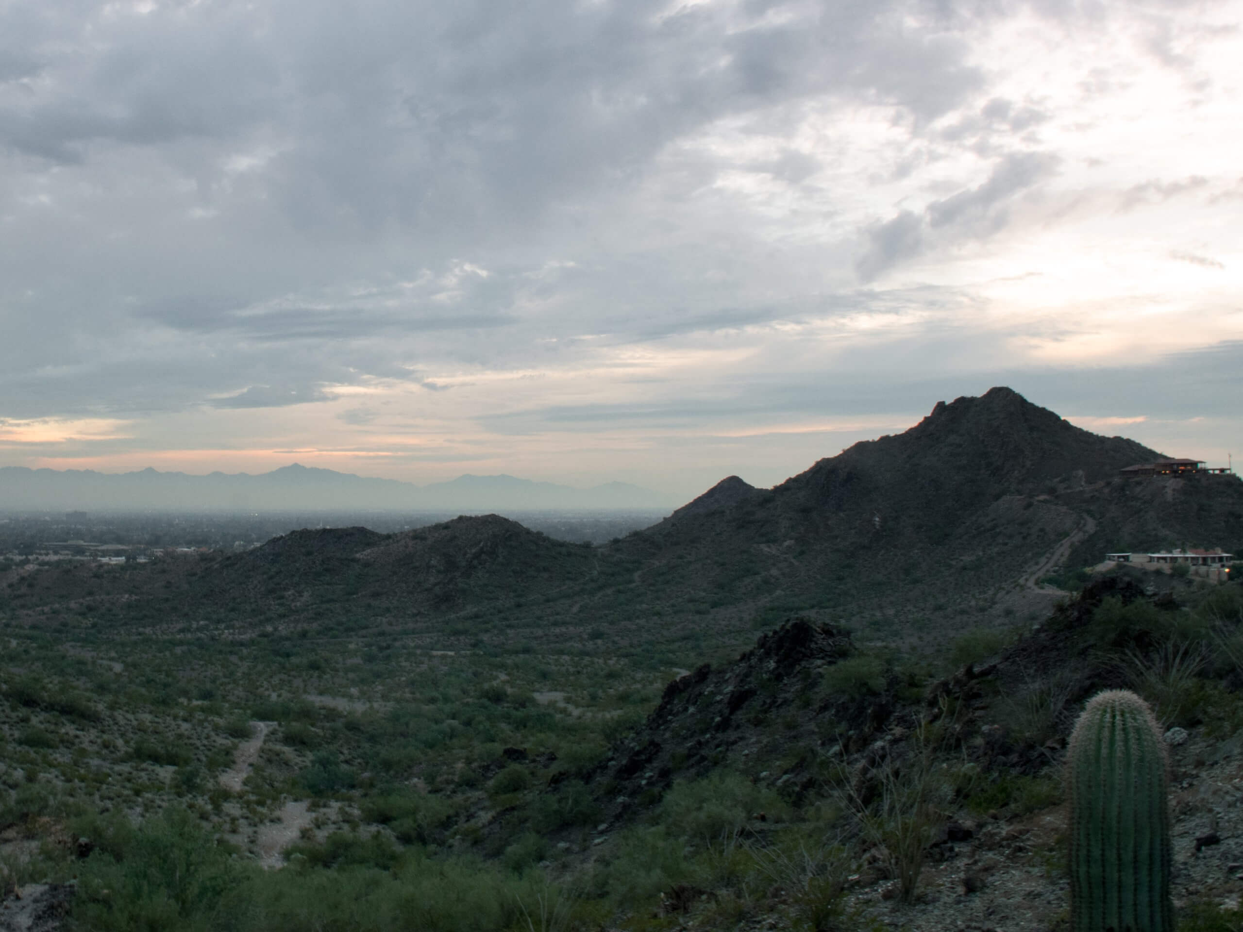
Charles M. Christiansen Trail
Difficulty Rating:
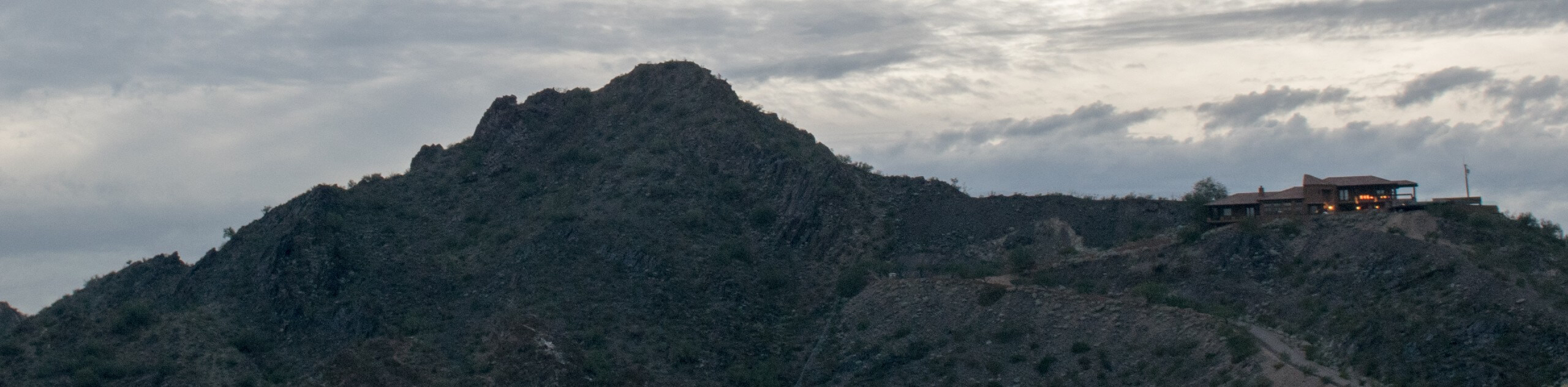
The Charles M. Christiansen Trail is a moderately difficult route in the Phoenix Mountain Preserve north of Piestewa Peak that can be used for hiking, trail running, and mountain biking. This route is generally well-maintained, easy to follow, and quite scenic with its views of Piestewa Peak. Expect moderate traffic that can get heavier on the weekends.
This trailhead is currently closed until Fall 2022 for water pipeline work and renovations.
Getting there
The trailhead for Charles M. Christiansen Trail is near the end of N Dreamy Draw Drive.

About
| Backcountry Campground | No |
| When to do | October-May |
| Pets allowed | Yes - On Leash |
| Family friendly | Yes |
| Route Signage | Good |
| Crowd Levels | Moderate |
| Route Type | Out and back |
Charles M. Christiansen Trail
Elevation Graph
Weather
Charles M. Christiansen Trail Description
The Charles M. Christiansen Trail is a pretty hike in the Phoenix Mountain Preserve that runs north of Piestewa Peak. This trail is well-kept, easy to follow, and also open to trail runners and mountain bikers. It’s normally not quite as busy as some of the other main trails in this area, but keep an eye out for one another due to the mixed nature of the traffic.
As with all hikes in Phoenix, bring lots of water with you and try to time your adventure outside of the heat of the day. This trail is rocky in spots, so consider wearing sturdy boots if you have them.
From the trailhead, follow the trail (numbered #100) as it intersects through a smattering of other routes on its southeastern course. Once you near the foothills of Piestewa, admire the excellent view and follow the trail as it curves up through a flat area in between the hills. Cruise through this relaxed section to the end of the trail at a fork alongside Tatum Wash. From here, turn around and retrace your steps.
Similar hikes to the Charles M. Christiansen Trail hike

Palisade to Basalt Loop
The Palisade to Basalt Loop is a short, easy trail in the Deem Hills Recreation Area. This hike is 1.4mi

Two Bit and Rattle Saddle Loop
The Two Bit and Rattle Saddle Trail is a moderately challenging hike in the Phoenix’s Mountain Preserve near Piestewa Peak.…

Ma-Ha-Tauk and Crosscut Loop
The Ma-Ha-Tauk and Crosscut Loop is a moderate hike in Phoenix’s South Mountain Preserve. With pleasant views and not much…
Comments