Stanage Edge Walk
View Photos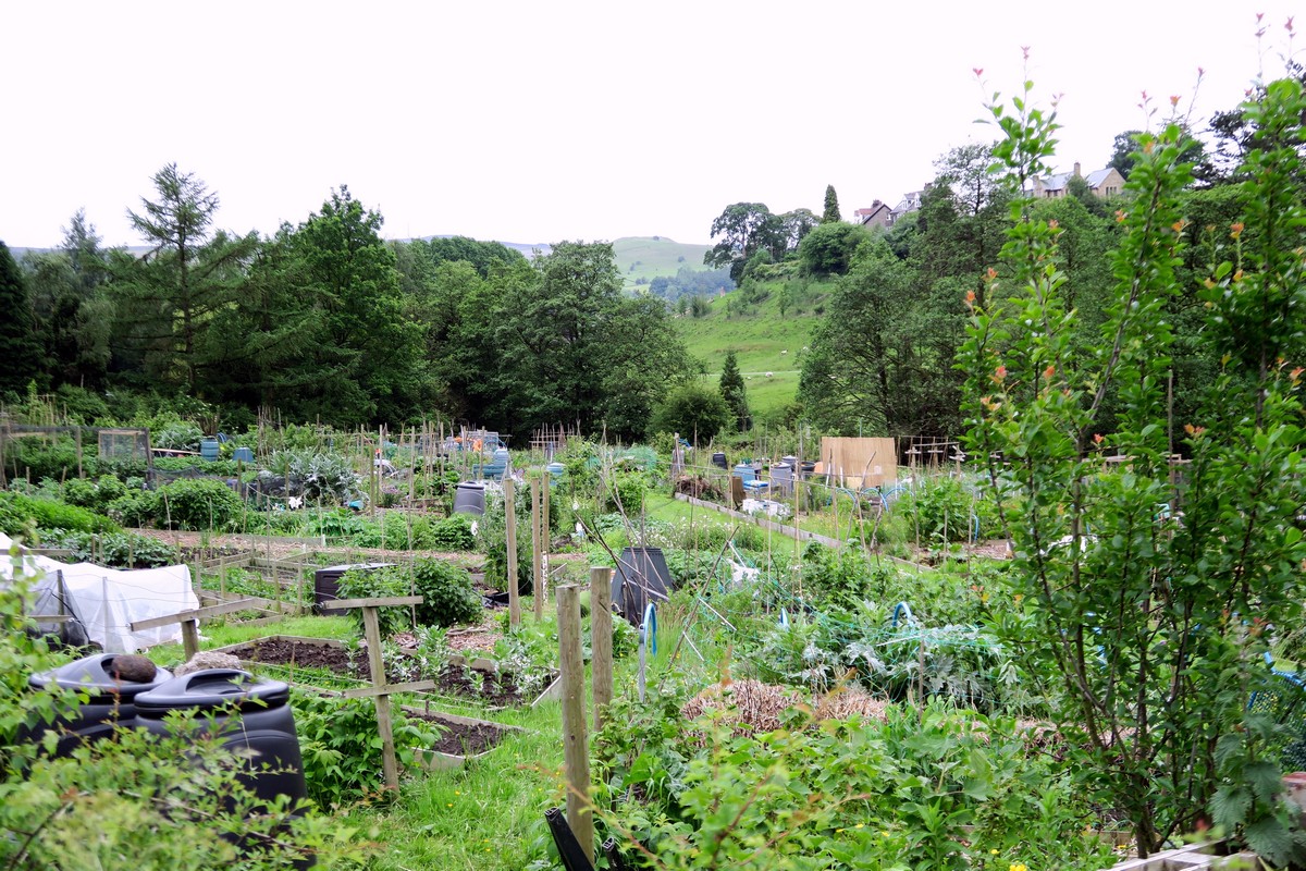
Stanage Edge Walk
Difficulty Rating:
The Stanage Edge Walk takes you through a beautiful valley landscape, which inspired many of Charlotte Bronte’s classics, and up onto the iconic Stanage escarpment where you can marvel at the ambitious crag climbers below you. The best place to start this walk is from the historic village of Hathersage.
Getting there
The Stanage Edge Walk begins in Hathersage just off the A6187. At the road (B6001) go right down to the village to arrive at the famous George Inn and then turn right onto the main street. There is a car park (Pay and Display) in the centre of the village. Follow the signs to Hathersage Pool Cafe.

About
| When to do | All Year |
| Backcountry Campsites | Yes, North Lees Campsite. |
| Toilets | At the trailhead and halfway |
| Family friendly | No |
| Route Signage | Average |
| Crowd Levels | Moderate |
| Route Type | Circuit |
Stanage Edge Walk
Elevation Graph
Weather
Hathersage to Stanage Edge Walking Route Description
The Stanage Edge Walk starts from the Hathersage village car park. Turn left and follow Oddfellows Road to Main Street. Cross carefully and go straight ahead onto Baulk Lane past the village cricket club and allotments.
From here the lane becomes a gradual uphill track leading you north. Keep left when this track forks and walk towards Brookfield Manor where you will pass through a small gate and onto Birly Road.
At the road turn right, walking past the beautiful Bronte Cottage on your left.
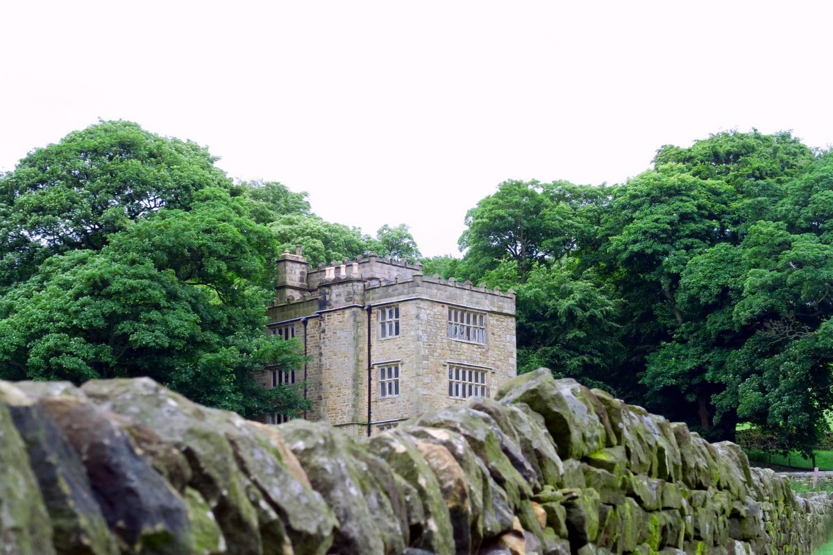
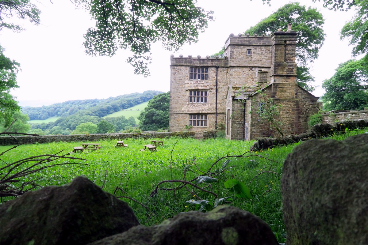
After approximately 656ft, turn left onto a tarmac lane leading to North Lees Hall. This iconic building was the inspiration for Thornfield Manor, the home of Mr. Rochester in Charlotte Bronte’s novel Jane Eyre.
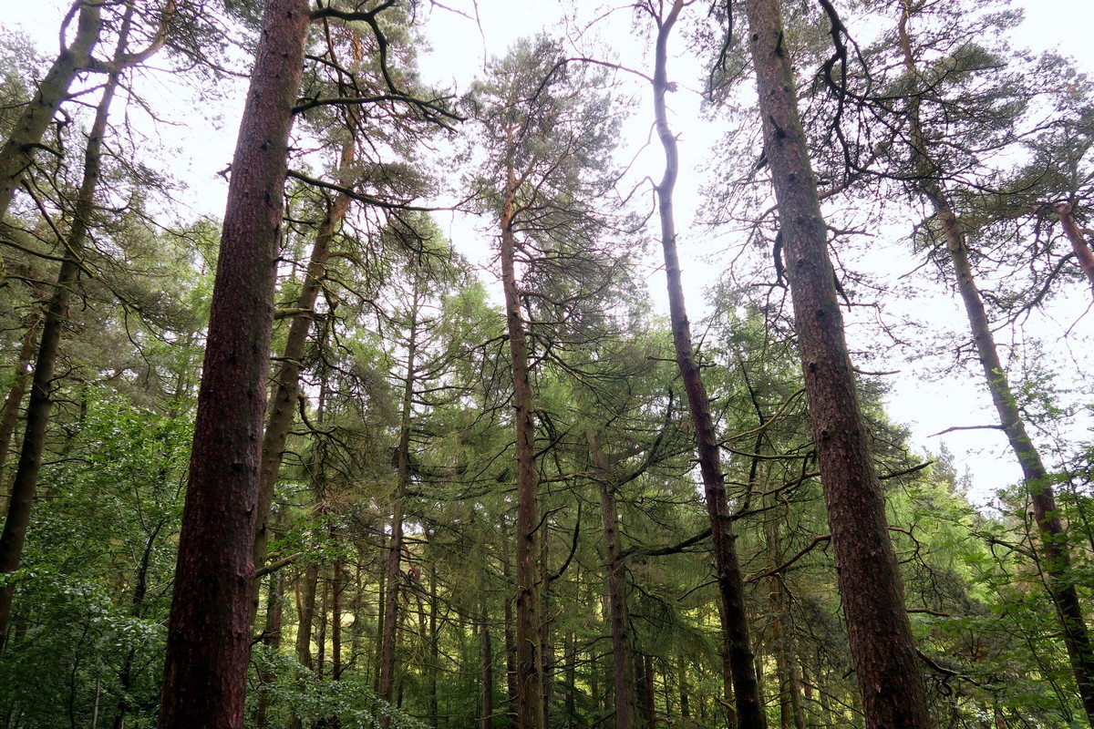
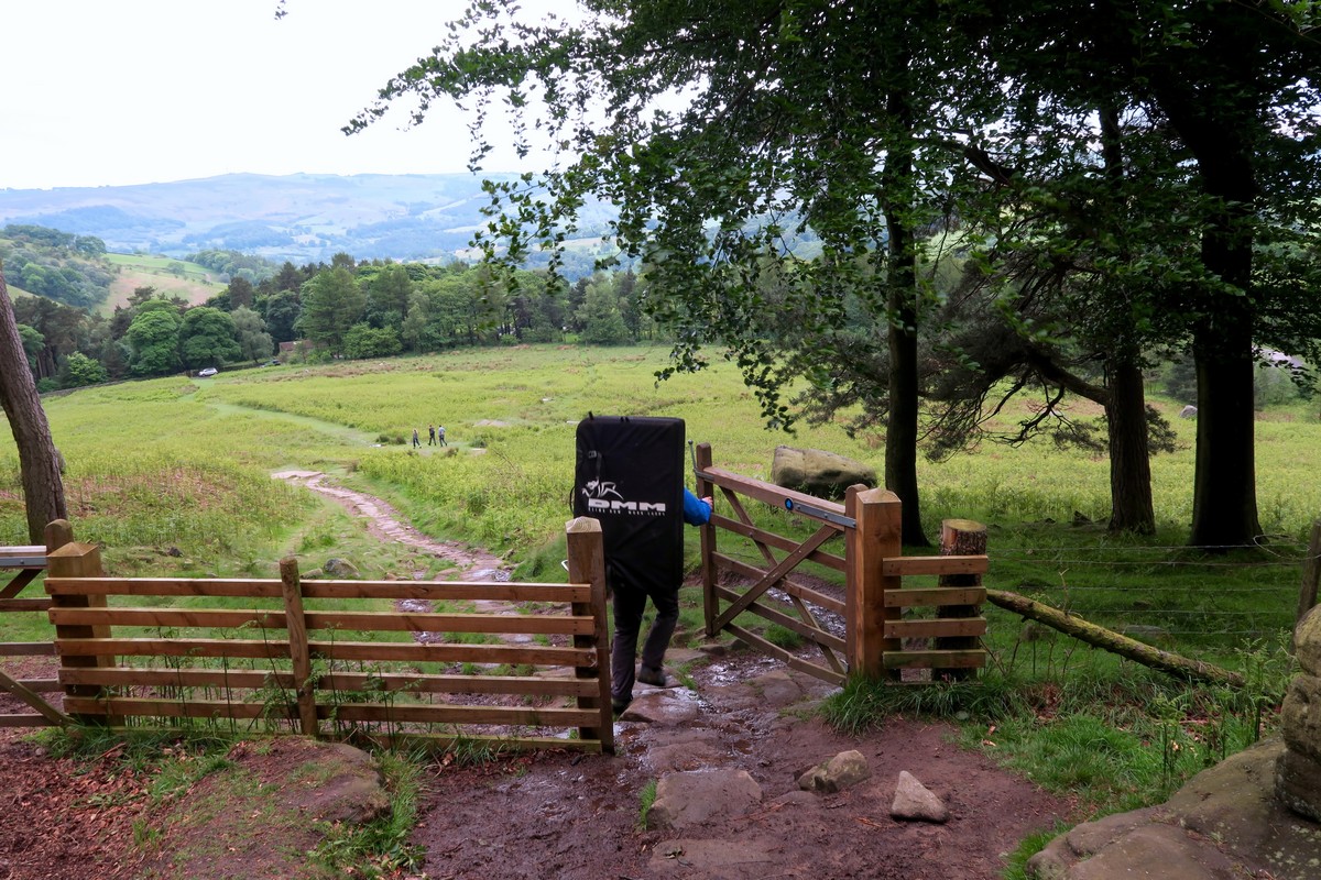
The Stanage Edge Walk continues past the hall, where you will come to an information board. Here, you will take a sharp right onto a public footpath. Follow the trod across the farmer’s field and into the woodland before climbing up to another minor road. There is a small public toilet facility here.
Once through the small gate, turn left past the public toilets and then right, across the road and onto the bridleway. This trail bears north, leading you toward the Stanage Plantation.
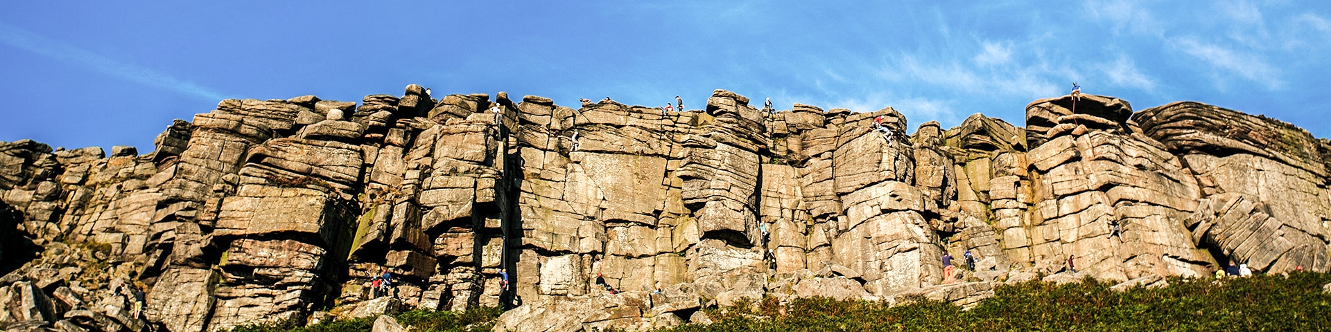
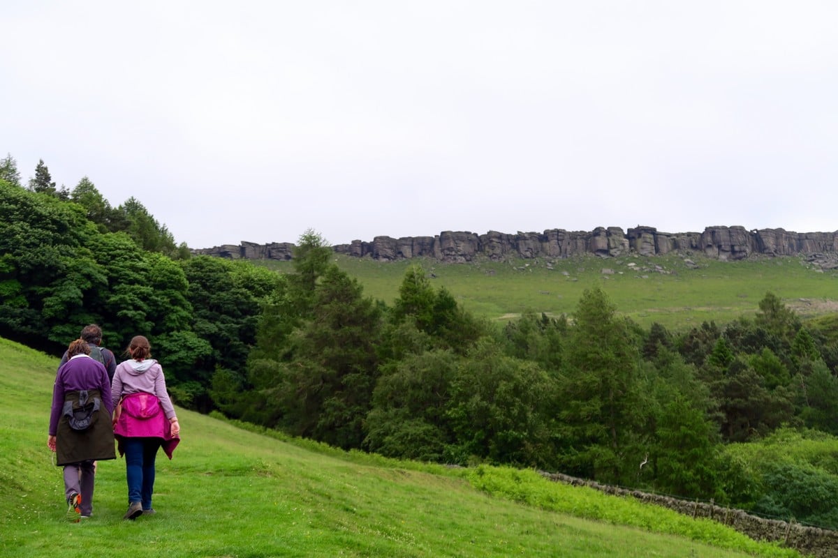
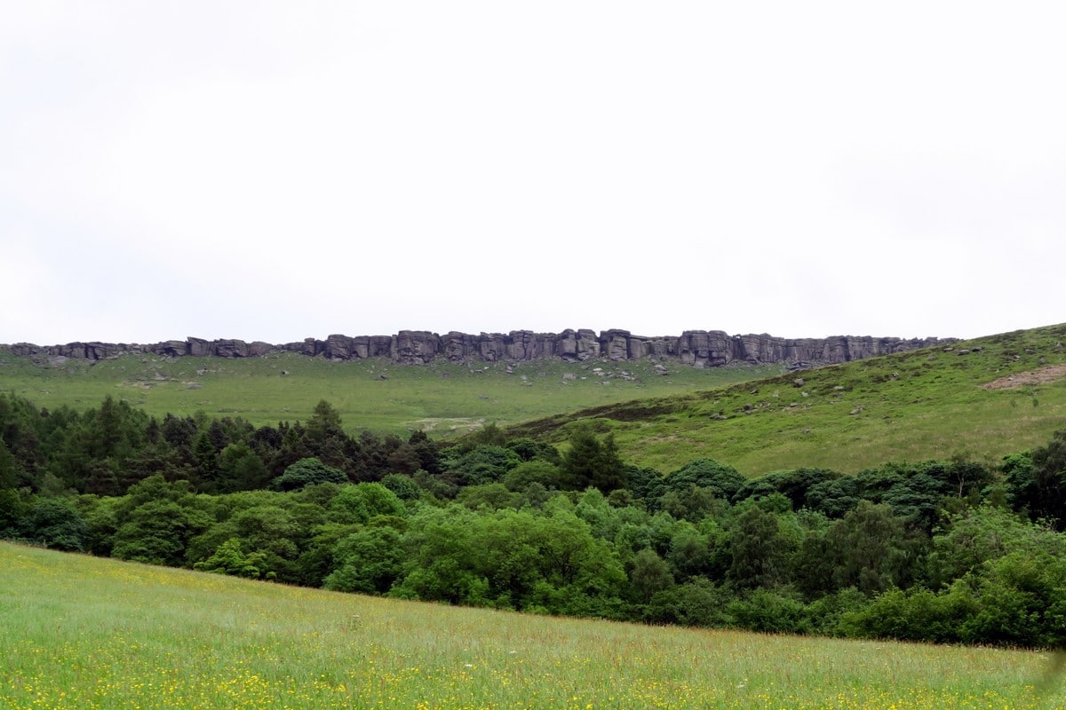
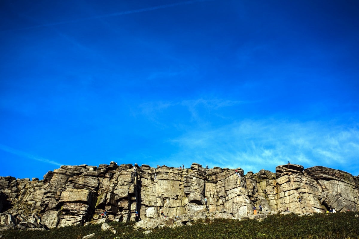
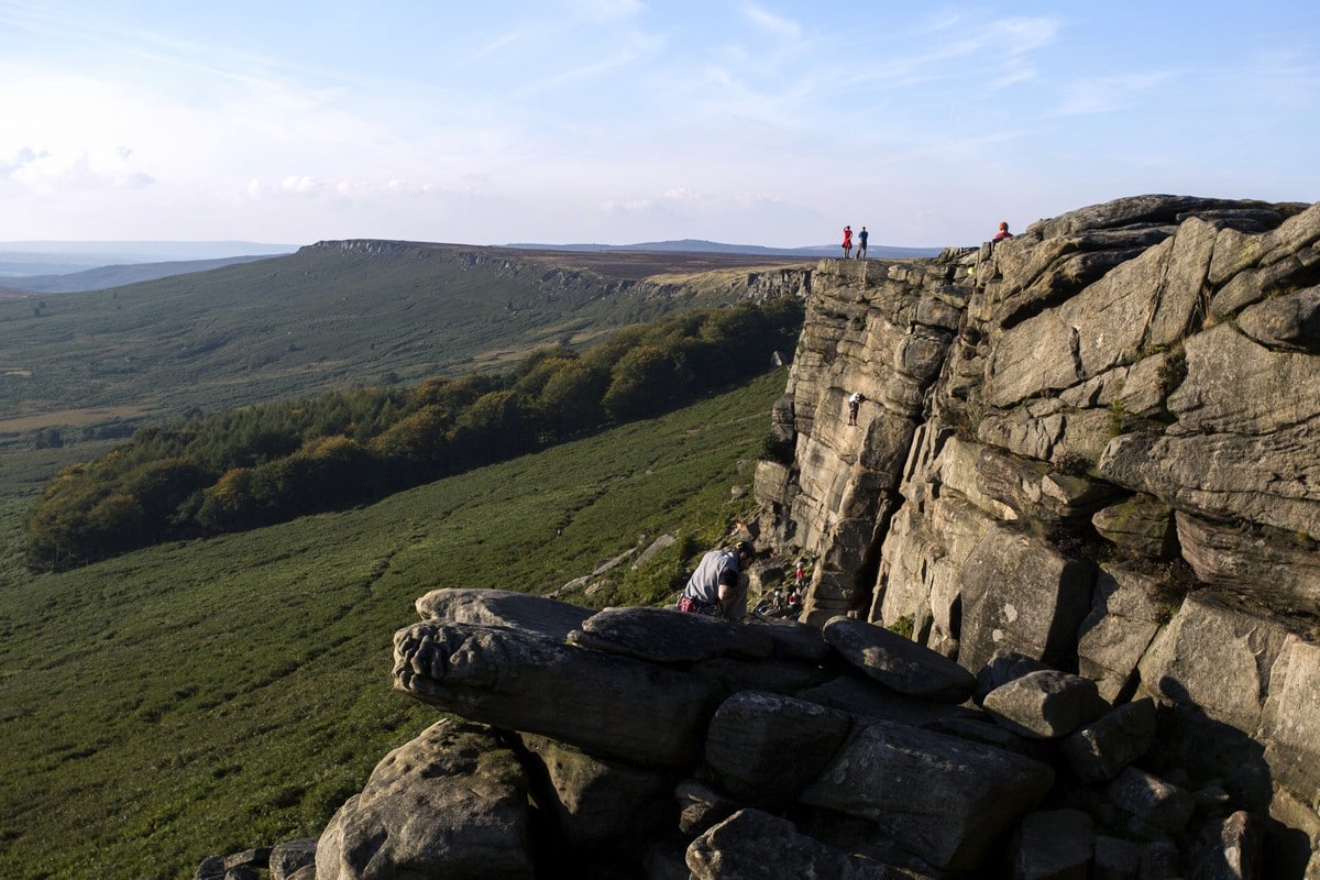
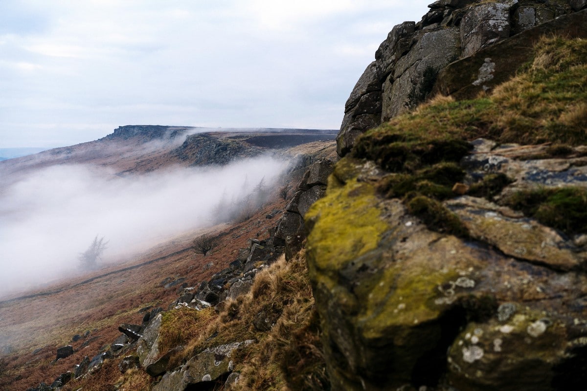
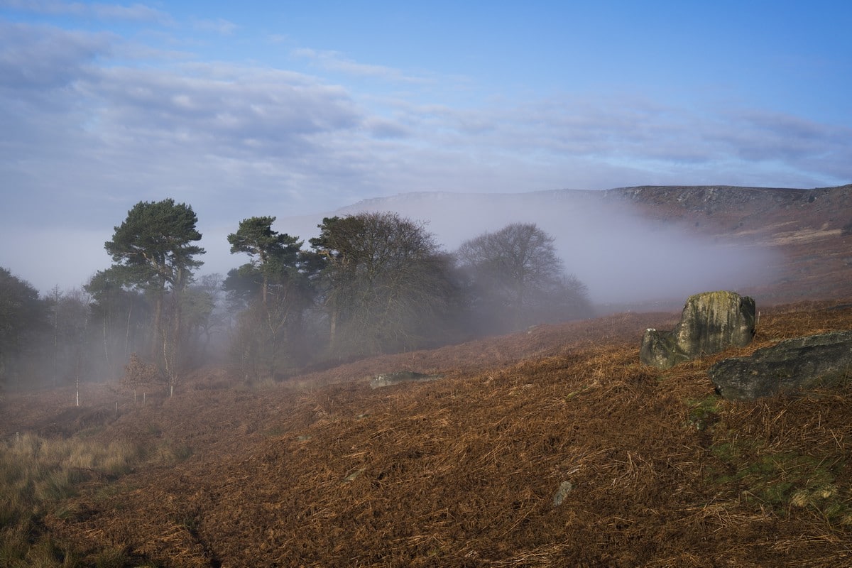
Once through the gate and in the plantation, keep left and take the most obvious track as you ascend to the top of Stanage Edge. You will get some of the best panoramic views of the escarpment from here. On the way, look out for daring boulderers who are out to solve some of the Peaks’ trickiest rock wall problems!
At the top, the edge can be windy, so take care. The main route here takes a right turn and you’ll follow the edge of the Stanage Escarpment alongside White Path Moss to the Edge’s southern trig point (1499ft).
Weather dependent, you may wish to add one of two extension loops from this junction:
1) Turn left and walk along the escarpment to the High Neb trig point (1503ft) before descending to Buck Stone and then back along the bridleway and up onto the main route. again.
2) Follow the public footpath sign in the direction of Stanage Pole (1437ft) where you can take in views of Redmires reservoirs and the City of Sheffield on a clear day. From the pole follow the trod across White Path Moss and back onto the main route.
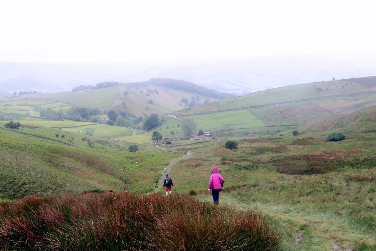
If you don’t feel like a detour, at the trig point, take the diagonal concessionary path to the right. This takes you down off the Stanage Edge and onto Hathersage Road. Turn left and walk along the track on the right-hand side of the road.
After 656ft you will come to a small gate and public footpath to your right along the moor of Callow Bank. This is one of the best places to see ring ouzels, curlews and red grouse. Take another right before you hit the road and follow the grassy track downhill through two sets of gates to the grounds of a farmhouse.
Follow the footpath signs to Hathersage that lead you through the farm grounds and then immediately right through a tiny gate and back onto the moorland. The footpath will take you in a southwest direction to High Lees Manor.
Go past the manor until you see a stone wall to your right. Follow this stone wall on your right until you reach a gate that leads into the woodland. This straightforward wooded footpath leads you downhill all the way to Sheffield Road and from the road back into the centre of Hathersage.
Walking Route Highlights
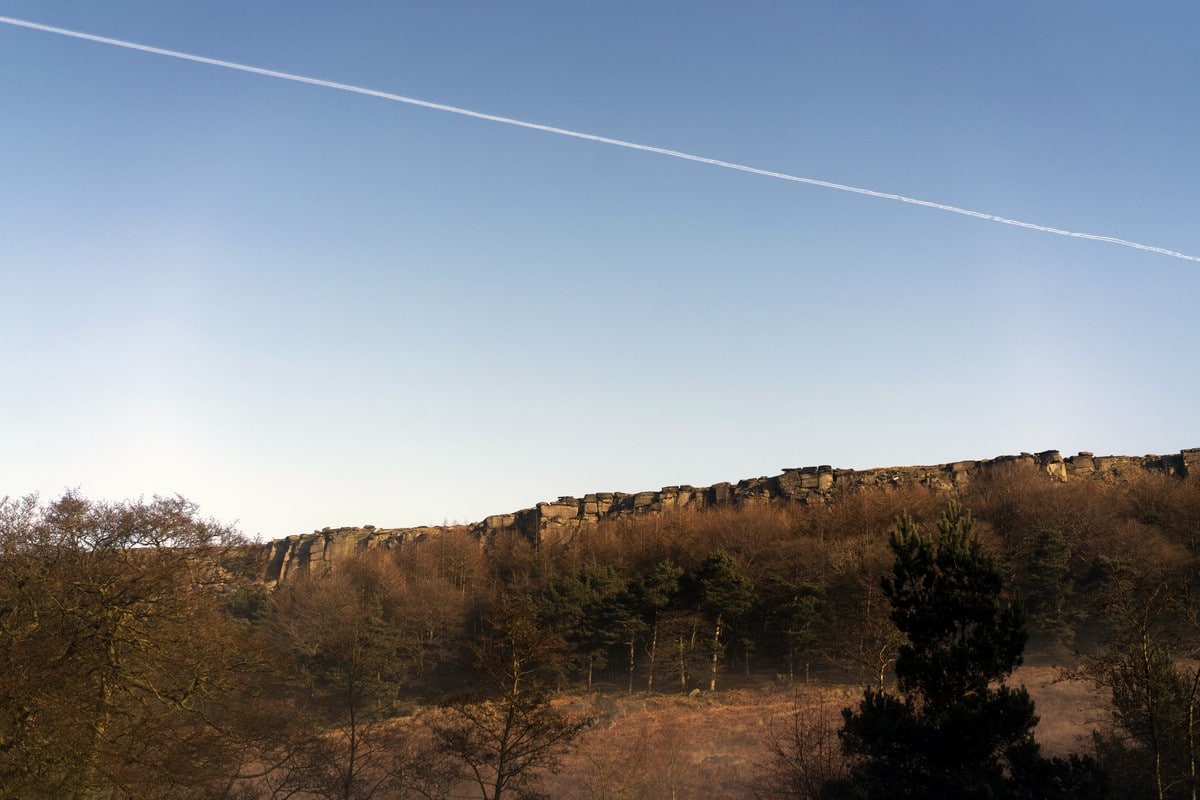
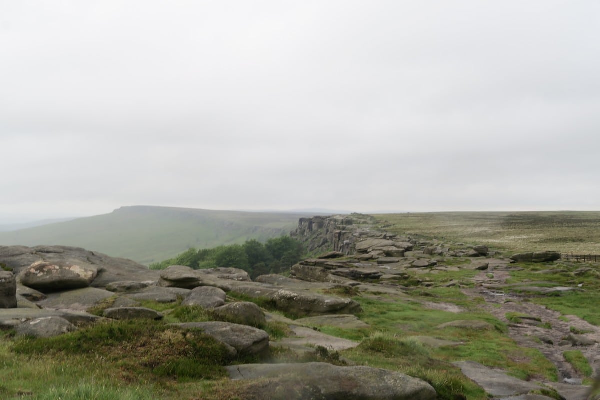
Stanage Edge
Stanage Edge is a gritstone escarpment in England’s beautiful Peak District National Park. Its name is a contraction of “Stone (or Stane) Edge.” Stanage Edge is 3.5 miles long and runs all the way from Sheffield to the High Peak of Derbyshire. The highest point on Stanage Edge is the High Neb, which is 458 metres above sea level. This escarpment was used as a grindstone quarry. The grindstone carving marks on the cliffs are still visible today.
Stanage Edge is a popular walking destination, but itis also one of the most popular locations for climbers, who are drawn to this place for its spectacular rock formations and challenging climbs.
For those who love history, Stanage Edge also offers an opportunity to see the remains of an ancient Roman road. This old paved road stretches along the escarpment all the way from Brough-on-Noe to Templeborough.
Hathersage
Hathersage is a beautiful historic village in the Peak District. This village was first recorded in the Domesday Book in the year 1066, but remains of a settlement have been found which date back to the Roman period.
Hathersage is a popular tourist destination, drawing visitors from all over the UK to its warm, open-air swimming pools, amazing climbing opportunities and beautiful scenery. Every year thousands of ramblers come to the village to wander some of the amazing Hathersage walks.
The village of Hathersage is also associated with some famous historic figures. It is the resting place of Little John, the famous companion of Robin Hood, England’s best-known outlaw. You can visit Robin Hood’s Cave and Stoop. British author Charlotte Bronte was living in Hathersage when she wrote her famous novel, Jayne Eyre. Hathersage’s St. Michael’s Church was also in some of the scenes of the Let Sleeping Corpses Lie horror film.
Want to try an easier walk in the Peak District? Check out the Dovedale Walk.
Insider Hints
Have you forgotten some gear? Drop into the friendly team at Alpkit by the trailhead. These Peak District enthusiasts will get you kitted out and throw in a coffee to get you back on track.
Pick up some freshly made Scotch Eggs at Coleman’s Deli (near the trailhead) and have a picnic with a view when you reach the top of the escarpment.
Robin Hood fan? Take a short detour at the end of the hike to Hathersage Church to see the resting place of Little John.
There are frequent buses from Sheffield, Chesterfield and Bakewell that stop on the Main Street. You can also get the train from Sheffield or Manchester, just turn right out of the station.

Similar hikes to the Stanage Edge Walk hike

Valehouse Reservoir Circular
The Valehouse Reservoir Circular is a 3.1mi lollipop trail near Glossop that travels around the edge of the…

Three Edges Walk
The Three Edges Walk is a challenging circuit in Derbyshire that will take you along three escarpments that offer some…

Edale Rocky Ridges Walk
The Edale Rocky Ridges Walk is just that - an adventurous walk along a rugged ridgeline. While out on the…
nkhan 2 years ago
Good walk! Throughly enjoyed it
Hearney 2 years ago
Wow
cateye 3 years ago
Stunning views and quite gentle uphill once you get past Dennis Knoll. We were lucky with the weather and walking it during week it didn’t feel crowded.
cateye 3 years ago
Stunning views and quite gentle uphill once you get past Dennis Knoll
PaulMcCafferty 3 years ago
codayop 3 years ago
Do not stray from the guide. (Unless you know where you are going) I got half way round and devices it would be a good idea to head back over the fields. This was a big mistake. Very marshy. Great workout though! :) Other than that, great views of Ladybower.
Karl 3 years ago
Enjoyable walk. Shame the weather was overcast the views were breathtaking and would have been more so with the sun. All the climbing is in the first third of the walk when you are at your freshest. Was pleasantly surprised how easy it was.
sochun 3 years ago
Easy walk but challenging as a trail run, some technical parts if you want to go fast but if you don't want to or have no need to go fast then it's absolutely easy
Tankie825 3 years ago
Great walk for us beginners, amazing views signposting can be poor in places but easy enough to navigate as we did with no map or GPS :)
walkera99 3 years ago
Strava clocked this route at 350 metres elevation. Apart from a steep climb up to the ridge after 3km it is a fairly easy going route. The ground on the top is very uneven so I would definitely advise decent boots. Some amazing views. Shame I know nothing about Charlotte Bronte or I guess it would have been an even more interesting walk!