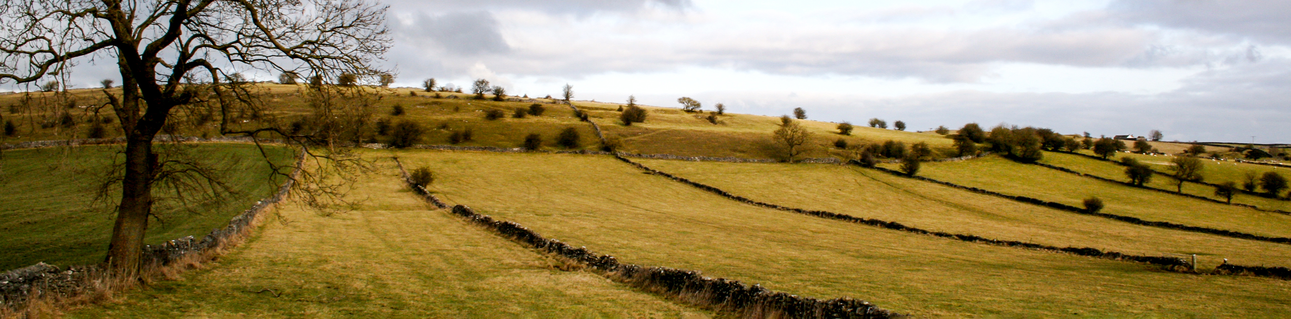
Miller’s Dale Circular Walk
by Paul Miller, CC-BY 2.0Image tones, noise levels, size/dimensions adjusted

Miller’s Dale Circular Walk
Difficulty Rating:
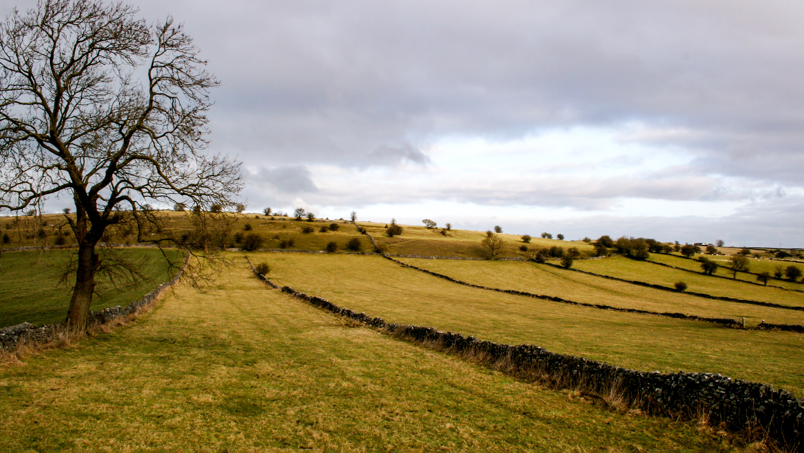
The Miller’s Dale Circular Walk is a fantastic route in the Peak District that provides some nice views of the surrounding Derbyshire landscape and utilizes an old railway that has been converted to walking trails. The route initially crosses the Miller’s Dale Viaduct and closely follows the River Wye before passing through a railway tunnel and eventually climbing to the top of Longstone Edge. This is a unique trail that is suitable for hikers of most skill levels, including families.
Getting there
To get to the Miller’s Dale Circular Walk car park from Buxton, head southeast on the A6 for 4.2mi and turn left onto B6049. After 1.4mi, make another left and continue on for 0.2mi to arrive at the car park on your left.

About
| When to do | March - November |
| Backcountry Campsites | No |
| Pets allowed | Yes - On Leash |
| Family friendly | Yes |
| Route Signage | Average |
| Crowd Levels | Moderate |
| Route Type | Circuit |
Miller’s Dale Circular Walk
Elevation Graph
Weather
Miller’s Dale Circular Walk Description
While the Miller’s Dale Circular Walk is fairly flat and suitable for most walkers, there are a few steep sections along the trail, notable on the ascent and descent of Longstone Edge. Make sure to wear proper walking footwear and take your time along these sections during periods of wet weather.
As previously mentioned, this trail is a fantastic option for walkers of most skill levels, including families with children. Outside of the above mentioned steep parts, the route largely follows along the Monsal Trail that utilizes an old railway, making for a pleasant day of walking through tunnels and open terrain with some scenic views across the surrounding landscape.
Setting out from the trailhead, make your way east along the path as it crosses over the beautifully constructed expanse of the Miller’s Dale Viaduct. Once you have reached the opposite side, keep straight along the trail for the next 1.4mi, taking in the beautiful views of the surrounding farms and woodland terrain.
Coming to the entrance to the Litton Tunnel, continue straight through its cavernous expanse until you temporarily pop out on the other side. After some brief views of the countryside, head into the Cressbrook Tunnel and pass through it to arrive near the winding River Wye. Make your way southeast along the lightly forested trail for the next 0.8mi, turning right at a junction with Brushfield Lane.
Follow the wide track for 1.5mi, making your way through stretches of open farmland terrain on your right and thick forests on your left. Along this part of the walk, you will pass through several gates before arriving at the Middle Farm Holiday Cottages in Brushfield. At the fork in the road, keep right and continue along the lane as it skirts around some buildings in a northwestern direction. After passing the buildings, make your way through the gate and keep straight for the next 0.55mi.
Reaching a fork in the path, keep left and follow Bulltor Lane as it cuts through the lush farming landscape and meets up with Broadway Lane. Turn left and follow this for 0.4mi to enter the village of Priestcliffe. Once there, turn right and follow the track north as it passes by several buildings and runs parallel to a stone wall for the next 0.3mi.
When you have come to a junction, bear left and continue along the track for the next 0.5mi to continue working your way between the beautiful fields that characterize the landscape here. At the junction with the lane, head right to begin your descent of the hill towards the road. Reaching the edge of the road, follow it to the right to head back into the village where you began the Miller’s Dale Circular Walk.
Other amazing walks in Peak District National Park
Check out our guides to Kinder Scout, Mam Tor, Stanage Edge, Dovedale, and Padley Gorge. Or see all of our Peak District walks on 10Adventures.
Insider Hints
A good portion of this walk utilizes the Monsal Trail, an old railway that has been converted to walking trails. If you don’t want to follow this the entire way, make your way down to the bank of the River Wye for an even more scenic route.
Some sections of the trail can be steep and slippery when wet. Wear proper footwear and exercise caution when traversing these areas.
Similar hikes to the Miller’s Dale Circular Walk hike

Valehouse Reservoir Circular
The Valehouse Reservoir Circular is a 3.1mi lollipop trail near Glossop that travels around the edge of the…

Three Edges Walk
The Three Edges Walk is a challenging circuit in Derbyshire that will take you along three escarpments that offer some…

Edale Rocky Ridges Walk
The Edale Rocky Ridges Walk is just that - an adventurous walk along a rugged ridgeline. While out on the…
Comments