Ladybower All-Weather Route
View Photos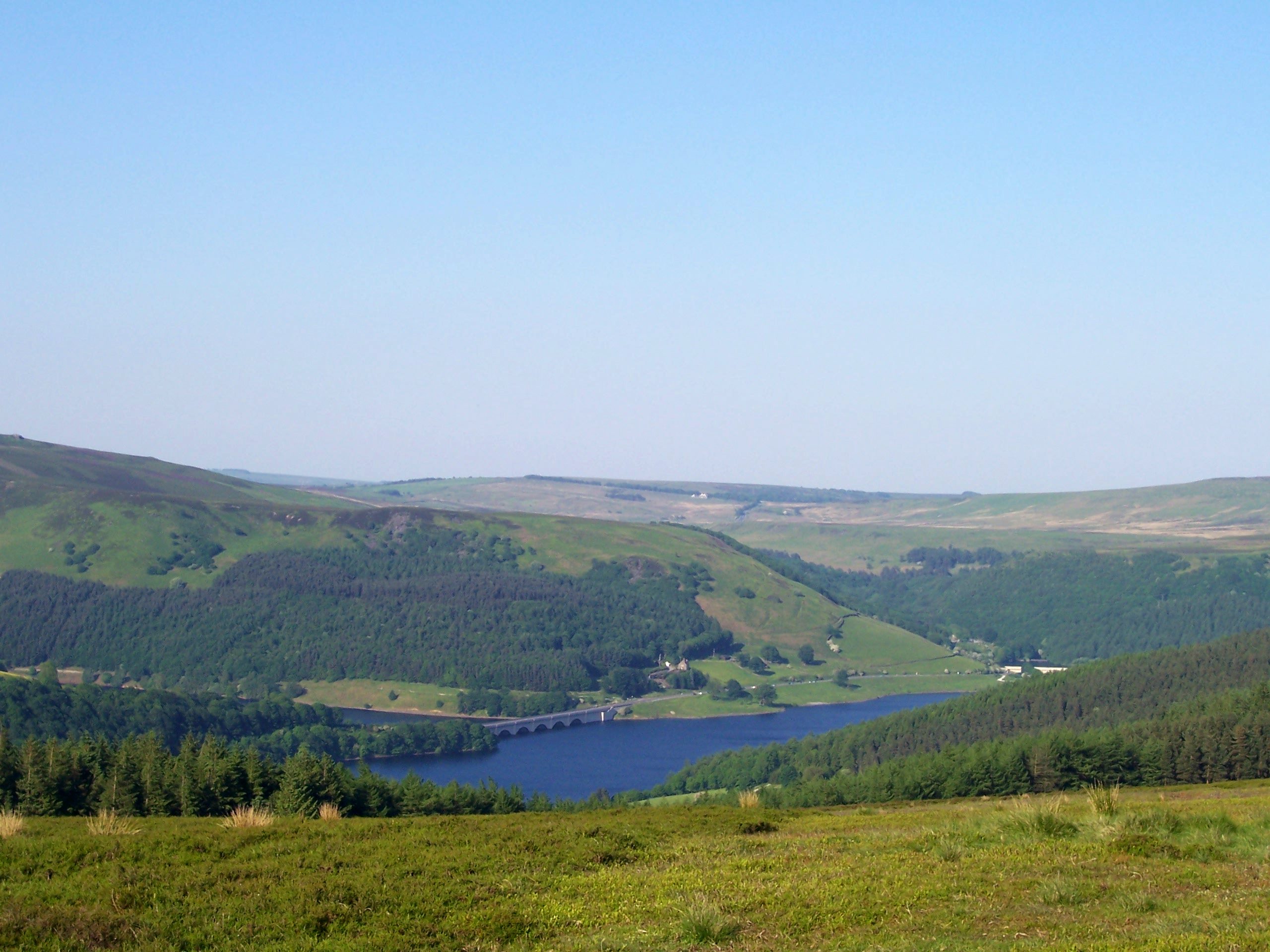
Ladybower All-Weather Route
Difficulty Rating:
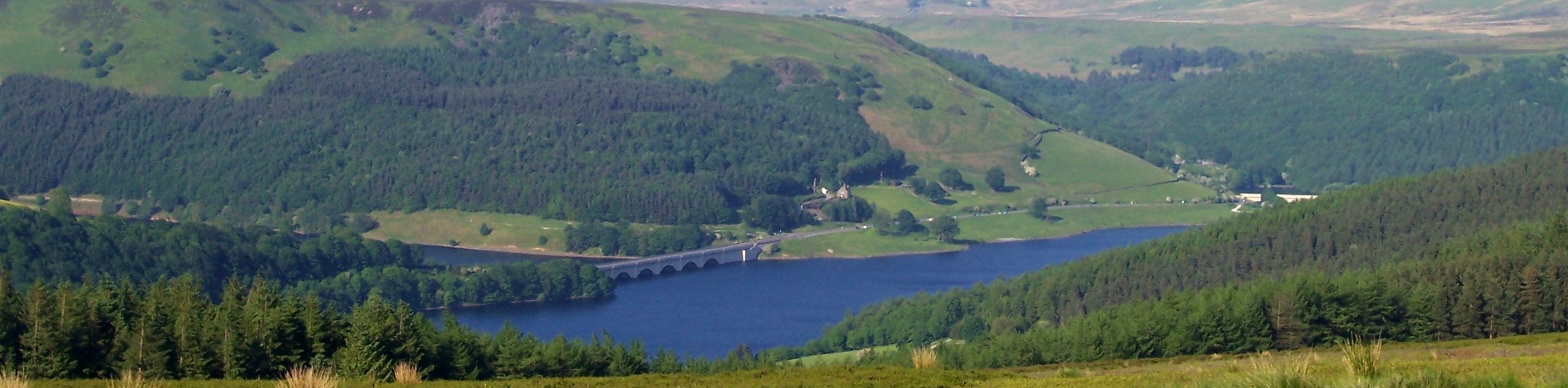
The Ladybower All-Weather Route is a long-distance walking route in the Upper Derwent Valley that leads you along the edge of the Ladybower Reservoir for some beautiful views of the surrounding Peak District terrain. While out on the walk, you will view two wonderfully constructed viaducts, take in scenic views of the water, and gain a bit of elevation as you walk the undulating terrain along the valley. While the route can be used throughout the year, some parts can be blanketed in ice during the winter months.
Getting there
To get to the car park for the Ladybower All-Weather Route from Bamford, drive north along the A6013 for 1.9mi and make a left turn onto the A57. After 0.7mi, make a right turn and keep straight for another 2.3mi to arrive at the car park for the Upper Derwent visitor centre.

About
| When to do | Year-Round |
| Backcountry Campsites | No |
| Pets allowed | Yes - On Leash |
| Family friendly | Older Children only |
| Route Signage | Average |
| Crowd Levels | Moderate |
| Route Type | Circuit |
Ladybower All-Weather Route
Elevation Graph
Weather
Ladybower All-Weather Route Trail Description
The Ladybower All-Weather Route, as the name suggests, can be accessed at all times of the year, although certain times are better than others. Due to the steep inclines along the route, the trail can become quite icy and hazardous during the winter months. If you plan on making the journey during this time, make sure to come prepared with any gear that you might need for the conditions, such as good boots and walking poles. Additionally, the area surrounding Ladybower Reservoir is a popular destination for outdoor activities, so be sure to arrive early in order to secure parking. Toilet facilities can be found in several places along the route, namely at the Upper Derwent visitor centre and the Heatherdene public toilets along Ashopton Road.
Setting out from the trailhead, follow the road to the northeast as it crosses over the River Derwent and heads through the forest before turning south along the foot of Pike Low. As you walk along the road, take in the amazing views that stretch out across the Ladybower Reservoir, including the undulating hills of the Peak District as a scenic backdrop. Continue following along the water’s edge, as the trail passes by the beautifully engineered Ashopton Viaduct and turns toward the east to cross over the Ladybower Viaduct.
After making your way over the bridge, continue south with the scenic views of the water on your right and the forests of Heatherdene with Bamford Edge towering above on your left. When you reach the Ladybower Dam, head west and cross over the dam wall to make your way into the forest. Follow along the forested edge of the water and enjoy the views of the River Ashop before climbing uphill for an elevated view of the surrounding landscape. After crossing the moor, descend the hillside to make your way over the river and Snake Road, picking up the trail on the opposite side.
From here, head to the northeast to make your way uphill past Rowlee Farm and later, the Lockerbrook Farm Outdoor Centre. Continue north along the edge of the wood before passing through a dense stretch of forest to arrive at the edge of a road next to Ouzelden Brook. Head to the right here and follow the road to the south to once again take in the beautiful views across the water. After passing by the monument to the Dambusters Squadron and the West Tower of the dam, make your way through a final bit of forest to arrive back at the trailhead where you began the Ladybower All-Weather Route.
Other amazing walks in Peak District National Park
Check out our guides to Kinder Scout, Mam Tor, Stanage Edge, Dovedale, and Padley Gorge. Or see all of our Peak District walks on 10Adventures.
Similar hikes to the Ladybower All-Weather Route hike

Valehouse Reservoir Circular
The Valehouse Reservoir Circular is a 3.1mi lollipop trail near Glossop that travels around the edge of the…

Three Edges Walk
The Three Edges Walk is a challenging circuit in Derbyshire that will take you along three escarpments that offer some…

Edale Rocky Ridges Walk
The Edale Rocky Ridges Walk is just that - an adventurous walk along a rugged ridgeline. While out on the…
Comments