Heights of Abraham and High Tor Circular Walk
View Photos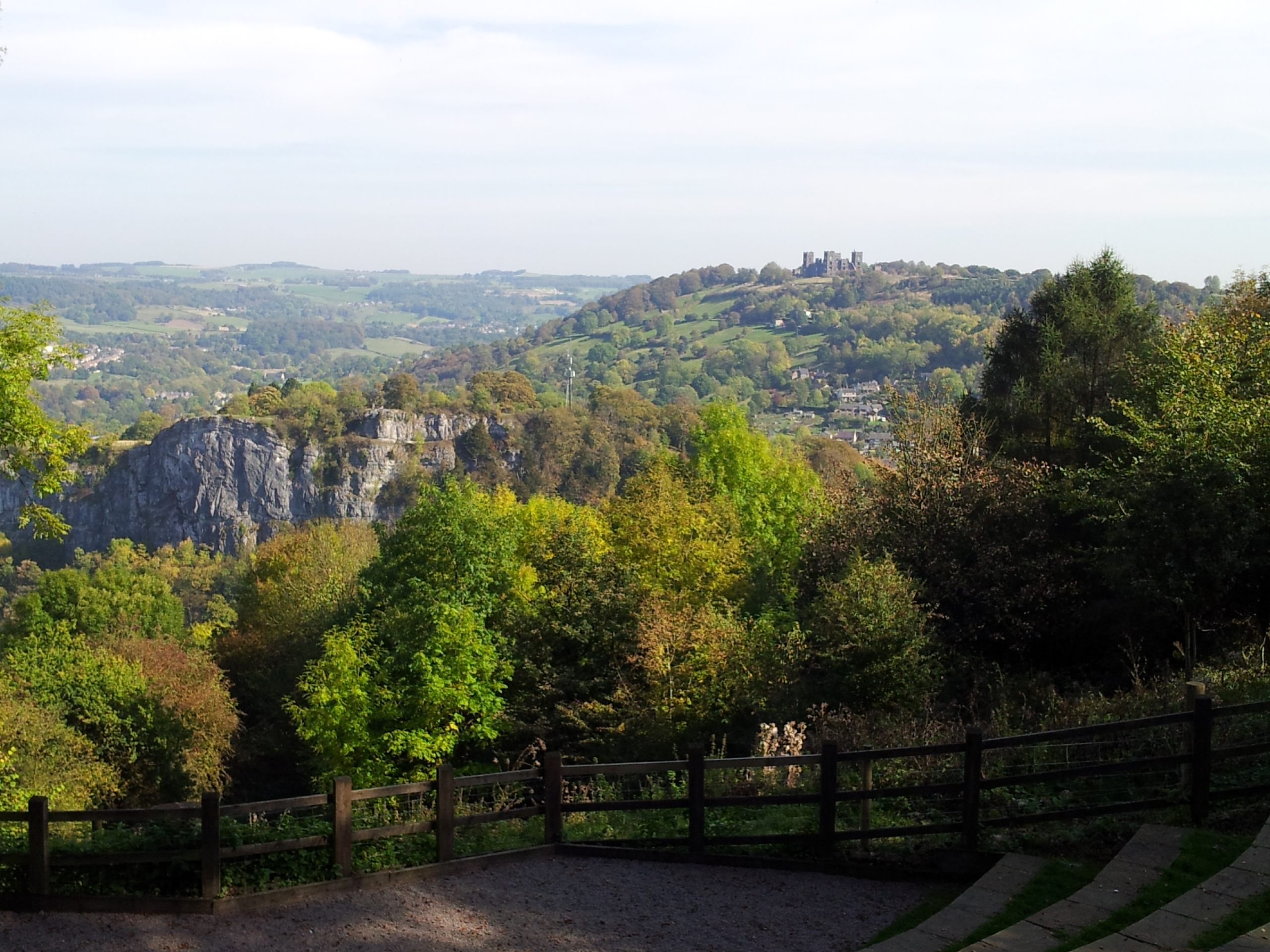
Heights of Abraham and High Tor Circular Walk
Difficulty Rating:
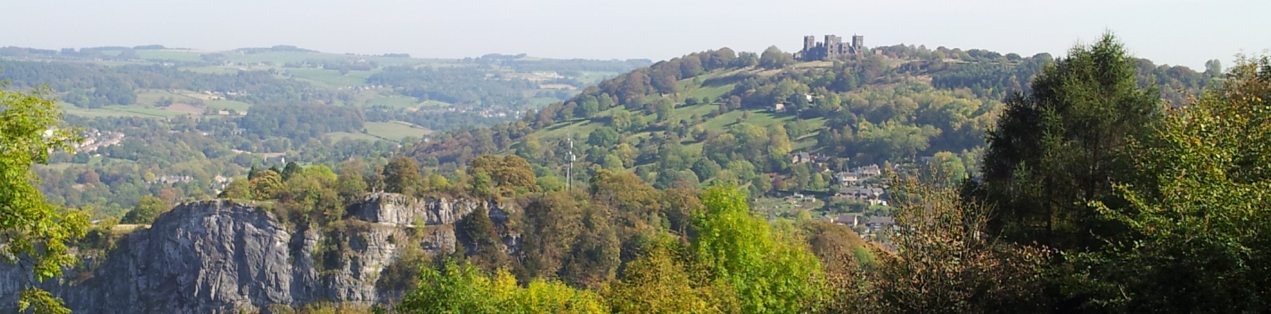
Walking the Heights of Abraham & High Tor Circular is a fun, albeit tough, outdoor experience that will take you uphill to several vantage points overlooking the picturesque Derbyshire countryside. While out on the trail you will make your way up to the Heights of Abraham, where you can access several attractions such as cavern tours, a cafe, and the Victoria Prospect Tower. After descending the hillside toward the village, you will then climb uphill to High Tor for some more spectacular views. This is a steep route in several areas, but the points of interest and breathtaking views are worth the struggle.
Getting there
To reach the car park for the Heights of Abraham & High Tor Circular from the Matlock railway station, head south on the A6 for 1.5mi and turn left at Holme Road to cross over the River Derwent. In 400ft, you will arrive at the car park.

About
| When to do | March-November |
| Backcountry Campsites | No |
| Pets allowed | Yes - On Leash |
| Family friendly | Older Children only |
| Route Signage | Average |
| Crowd Levels | High |
| Route Type | Circuit |
Heights of Abraham and High Tor Circular Walk
Elevation Graph
Weather
Heights of Abraham & High Tor Circular Trail Description
The Heights of Abraham and High Tor Circular Walk is a popular walking route due to the amazing viewpoints and attractions that can be found in the area. If you are looking to utilize the gondola or simply to enjoy some of the sweeping views across the Derbyshire landscape without the crowds, make sure to arrive early. Additionally, if you are planning on completing the entire route on foot, wear proper walking shoes to combat the steep terrain up the hillside of the Abraham Heights and High Tor.
Setting out from the car park next to the Matlock Bath railway station, head west to make your way over the flowing waters of the River Derwent to cross the A6 and head through the village. Continue following along the road as it turns to the south and heads through the forest, where you will eventually come close to the Gulliver’s Kingdom theme park. From here, follow the trail west as it branches off from the road and begins to climb up the steep hill.
Continue to the northwest as the trail passes through several fields and enters into a vast stretch of wood on the edge of a farm. Follow the forest path as it now leads to the northeast, enjoying the serene atmosphere of the woodland setting until you arrive at the Heights of Abraham. Once there, keen adventurers can explore the hilltop by means of cavern tours or simply take in the elevated views overlooking the picturesque Derbyshire countryside.
After exploring the area, follow the path to the north to descend from the heights and arrive at the banks of the River Derwent. Cross over to the eastern bank and prepare for another climb up through the forest to the summit of High Tor. Once there, you will be exposed to some more scenic views of the surrounding area, including the Heights of Abraham to the west and the village directly below. After taking in the sights, carefully descend the steep southern face of the hill to return to the car park where you began your walk.
Other amazing walks in Peak District National Park
Check out our guides to Kinder Scout, Mam Tor, Stanage Edge, Dovedale, and Padley Gorge. Or see all of our Peak District walks on 10Adventures.
Similar hikes to the Heights of Abraham and High Tor Circular Walk hike

Valehouse Reservoir Circular
The Valehouse Reservoir Circular is a 3.1mi lollipop trail near Glossop that travels around the edge of the…

Three Edges Walk
The Three Edges Walk is a challenging circuit in Derbyshire that will take you along three escarpments that offer some…

Edale Rocky Ridges Walk
The Edale Rocky Ridges Walk is just that - an adventurous walk along a rugged ridgeline. While out on the…
Comments