Edale and Grindsbrook Circular Walk
View Photos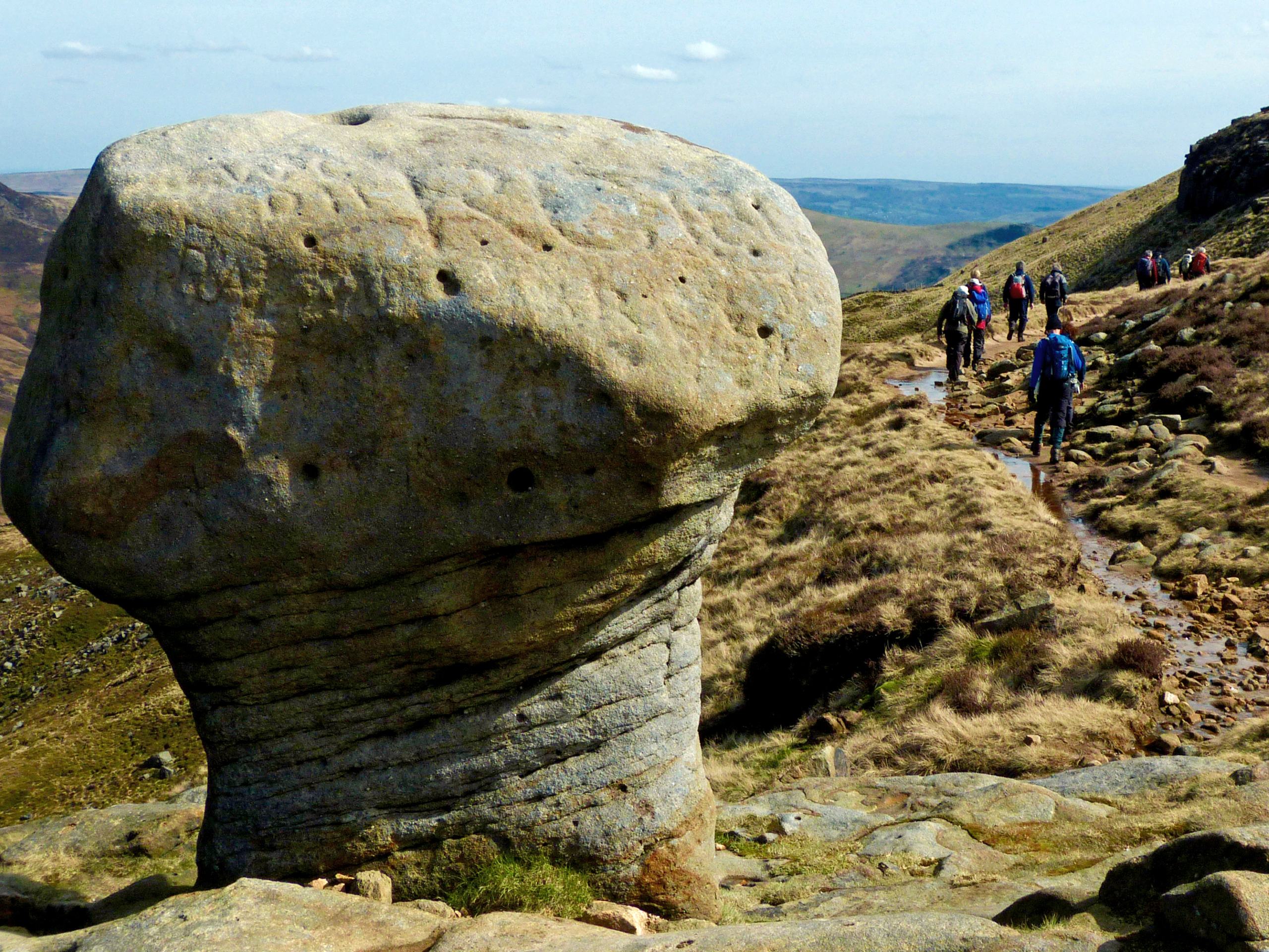
Edale and Grindsbrook Circular Walk
Difficulty Rating:
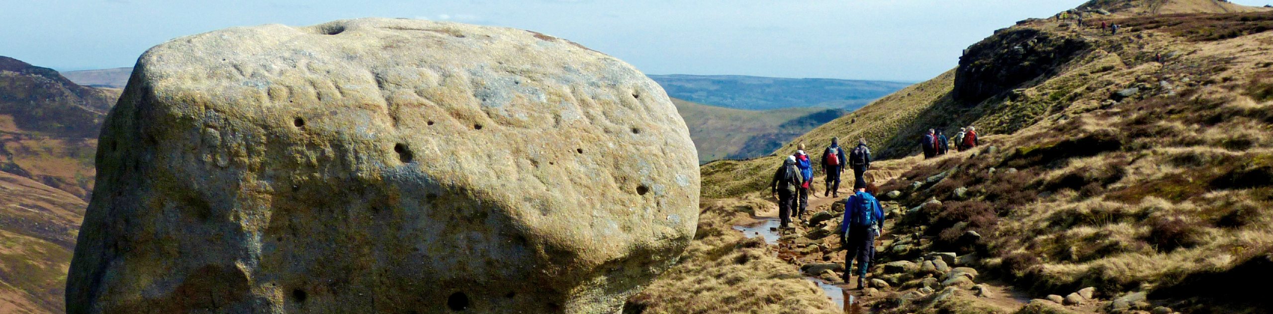
The Edale and Grindsbrook Circular is a fantastic - if long - walking route that will take you from the village of Edale up along the moor for breathtaking views of the Peak District. As you walk along the elevated ridge, you will have a commanding sightline overlooking the Edale Valley to the south, the Derwent Valley to the east, and Kinder Scout NNR to the west. If you are up for a bit of a rugged journey, this walk will produce some of the best sights in the Peak District.
Getting there
To access the car park for the Edale and Grindsbrook Circular from Hope Valley, drive west for 2.4mi on Hathersage Road and make a right turn onto Edale Road. Follow this for 4.7mi, where you will find the car park on your right.

About
| When to do | April-October |
| Backcountry Campsites | Coopers Camp and Caravan Site, Fieldhead Campsite |
| Pets allowed | Yes - On Leash |
| Family friendly | Older Children only |
| Route Signage | Average |
| Crowd Levels | Moderate |
| Route Type | Circuit |
Edale and Grindsbrook Circular Walk
Elevation Graph
Weather
Edale and Grindsbrook Circular Trail Description
While the Edale and Grindsbrook Circular Walk may be long, there are few adventures where you will gain a better perspective of the natural beauty that can be found within the Peak District. The trail sets out from Edale and heads north to climb the rugged terrain along Grindsbrook Clough, bringing you to the top of a rocky ridge near Grindslow Knoll. From here, make your way east along the ridge to summit Upper Tor and Nether Tor while taking in the breathtaking views of the Edale Valley. Reaching the edge of the ridge, you will begin to descend the moor in the direction of Ladybower Reservoir, before turning south to cut across the open farmland. After summiting Win Hill to the southeast, you will turn back towards the northwest to walk through the valley along the lower slopes of The Great Ridge. With the iconic sight of Lose Hill, Back Tor, Hollins Cross, and Mam Tor on your left, and the rugged terrain that you just traversed on your right, you will arrive back at the car park where you began your adventure.
Other amazing walks in Peak District National Park
Check out our guides to Kinder Scout, Mam Tor, Stanage Edge, Dovedale, and Padley Gorge. Or see all of our Peak District walks on 10Adventures.
Similar hikes to the Edale and Grindsbrook Circular Walk hike

Valehouse Reservoir Circular
The Valehouse Reservoir Circular is a 3.1mi lollipop trail near Glossop that travels around the edge of the…

Three Edges Walk
The Three Edges Walk is a challenging circuit in Derbyshire that will take you along three escarpments that offer some…

Edale Rocky Ridges Walk
The Edale Rocky Ridges Walk is just that - an adventurous walk along a rugged ridgeline. While out on the…
Comments