Derwent Edge and Abbey Brook Walk
View Photos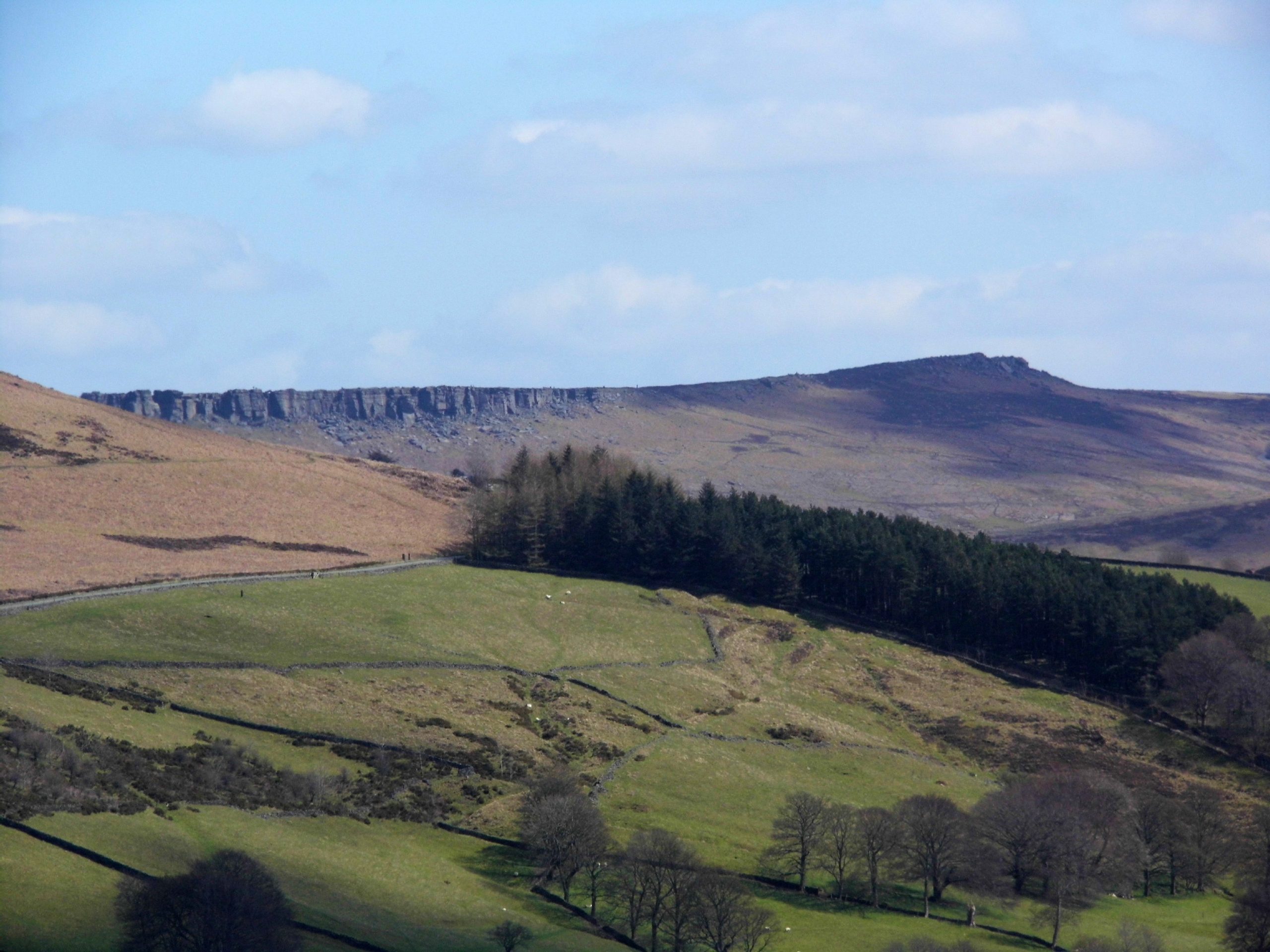
Derwent Edge and Abbey Brook Walk
Difficulty Rating:
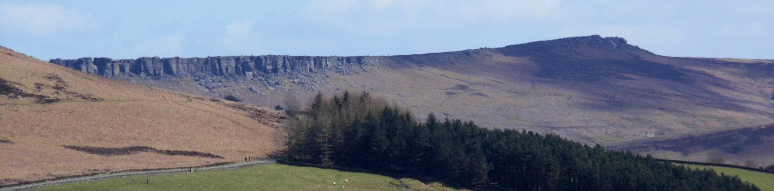
The walk along the Derwent Edge and Abbey Brook is a wonderfully scenic adventure above the Upper Derwent Valley that will lead you along the exposed terrain of the moor for some spectacular views of the Peak District. Some of the trails along this route are quite narrow and rocky, which will likely pose a problem for less mobile walkers. Make sure to wear sturdy walking boots and bring several layers to combat the often harsh weather conditions along the exposed edge.
Getting there
To reach the car park for the Derwent Edge and Abbey Brook Walk from Hope Valley, drive north on Station Road for 2.6mi and make a left turn onto the A57. After 0.7mi, turn right and continue on for 2.3mi to arrive at the car park next to the Upper Derwent Visitor Centre.

About
| When to do | April-November |
| Backcountry Campsites | No |
| Pets allowed | Yes - On Leash |
| Family friendly | Older Children only |
| Route Signage | Average |
| Crowd Levels | Moderate |
| Route Type | Lollipop |
Derwent Edge and Abbey Brook Walk
Elevation Graph
Weather
Derwent Edge and Abbey Brook Trail Description
Although not for the faint-hearted, the Derwent Edge and Abbey Brook Trail will reward those walkers that brave the technical and exposed terrain with some of the most amazing views that stretch across the Peak District. The trail initially heads southeast through the farmland along the edge of the Ladybower Reservoir before climbing up the rugged terrain of the moor to traverse the escarpment along the Derwent Edge. After summiting Back Tor, walkers will descend the elevated position along Abbey Brook, where you will navigate some tricky terrain while enjoying the scenic views across the calm waters below. After a pleasant stroll along the edge of the reservoir, you will make your way past the dam and arrive back at the trailhead, having completed the walk along Derwent Edge and Abbey Brook.
Other amazing walks in Peak District National Park
Check out our guides to Kinder Scout, Mam Tor, Stanage Edge, Dovedale, and Padley Gorge. Or see all of our Peak District walks on 10Adventures.
Similar hikes to the Derwent Edge and Abbey Brook Walk hike

Valehouse Reservoir Circular
The Valehouse Reservoir Circular is a 3.1mi lollipop trail near Glossop that travels around the edge of the…

Three Edges Walk
The Three Edges Walk is a challenging circuit in Derbyshire that will take you along three escarpments that offer some…

Edale Rocky Ridges Walk
The Edale Rocky Ridges Walk is just that - an adventurous walk along a rugged ridgeline. While out on the…
Comments