Chee Dale Walk
View Photos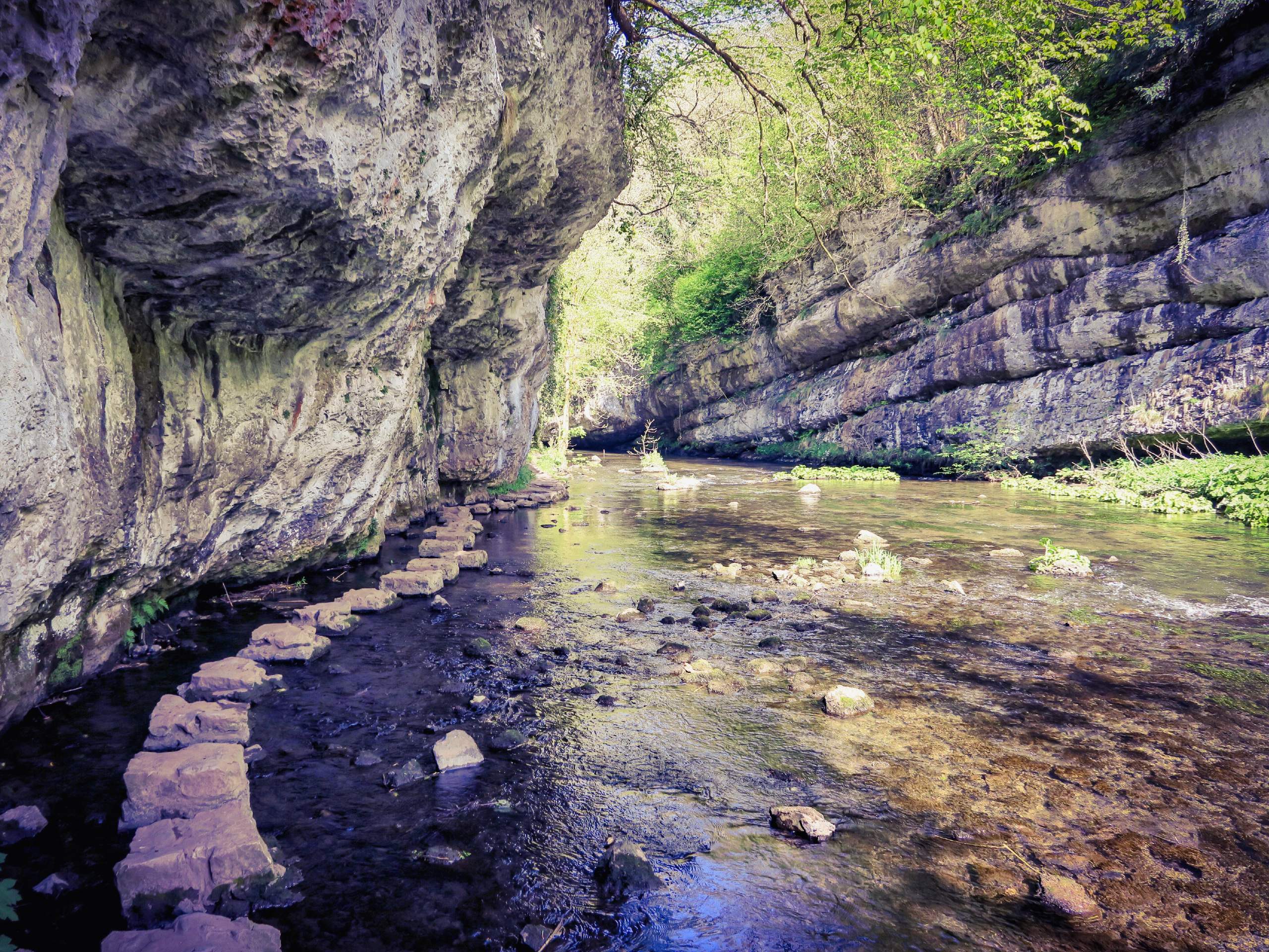
Chee Dale Walk
Difficulty Rating:
The Chee Dale walk is a 10.0mi circuit in Derbyshire that will take you through the picturesque English countryside on a loop from Miller’s Dale across the Taddington Moor and back. While out on the trail, walkers will cross vast stretches of farmland and pass through the dale to walk alongside the banks of the winding River Wye. This is a fairly easy walk in the Peak District that features beautiful scenery and easy-to-navigate trails.
Getting there
To reach the car park for the Chee Dale Walk from Buxton, drive southeast along the A6 for 4.2mi and make a left turn onto B6049. Make another left after 1.4mi and continue on for 0.2mi. You will find the car park on your left.

About
| When to do | March-November |
| Backcountry Campsites | Beech Croft Farm Camping, Shallow Grange |
| Pets allowed | Yes - On Leash |
| Family friendly | Older Children only |
| Route Signage | Average |
| Crowd Levels | Moderate |
| Route Type | Circuit |
Chee Dale Walk
Elevation Graph
Weather
Chee Dale Walk Description
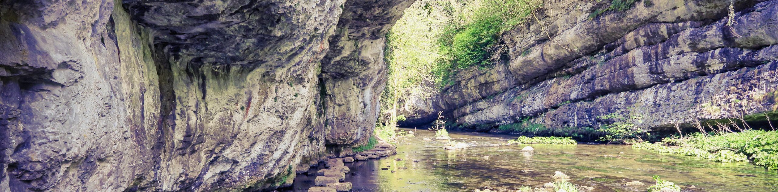
The Chee Dale Walk is a beautifully scenic route in Derbyshire that will take you through some of the charming farmland terrain that can be found within Peak District National Park. Although most of the trails here are well-maintained, the route does cut across farmland in some stretches. Make sure to wear proper walking footwear for the journey. Additionally, if you are travelling with any dogs, be sure to keep them on a lead as there are free-roaming livestock in the area.
Setting out from the picturesque valley of Miller’s Dale, head east along the trail as it crosses over the beautifully constructed viaduct and follows the Monsal Trail for a short stretch. Head right at the first junction and follow the path as it cuts across the farmland to the southwest and passes by Priestcliffe. Make your way across the A6 and climb up Taddington Moor to pass through Chelmorton.
Reaching the southwest corner of the route, head north along the trail to descend into Deep Dale, making your way through the rugged landscape until you meet up with the winding bands of the River Wye. From here, head east and enjoy the waterside atmosphere as you follow the flowing river through the dale and back to the starting point of the walk.
Other amazing walks in Peak District National Park
Check out our guides to Kinder Scout, Mam Tor, Stanage Edge, Dovedale, and Padley Gorge. Or see all of our Peak District walks on 10Adventures.
Similar hikes to the Chee Dale Walk hike

Valehouse Reservoir Circular
The Valehouse Reservoir Circular is a 3.1mi lollipop trail near Glossop that travels around the edge of the…

Three Edges Walk
The Three Edges Walk is a challenging circuit in Derbyshire that will take you along three escarpments that offer some…

Edale Rocky Ridges Walk
The Edale Rocky Ridges Walk is just that - an adventurous walk along a rugged ridgeline. While out on the…
Comments