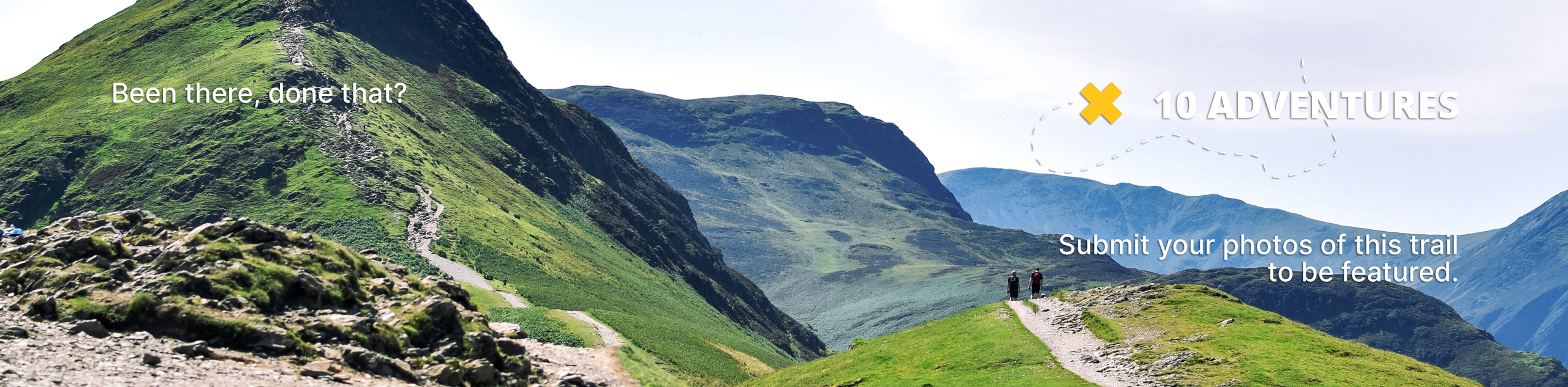
Cave Dale Walk
View Photos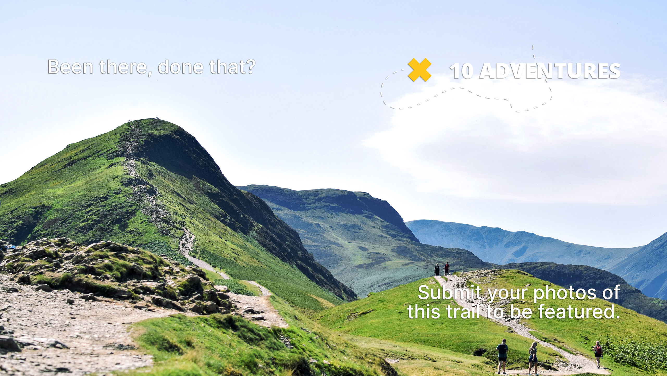
Cave Dale Walk
Difficulty Rating:
The walk through Cave Dale is a fun outdoor experience in the Peak District that will take you uphill through a limestone gulley for some amazing views across the Derbyshire landscape. While out on the trail, you will make your way through a picturesque setting with vibrant green hills and limestone walls before taking in some amazing views of Peveril Castle, an 11th Century Castle overlooking Castleton. This is a great family-friendly walk that you won’t want to miss out on.
Getting there
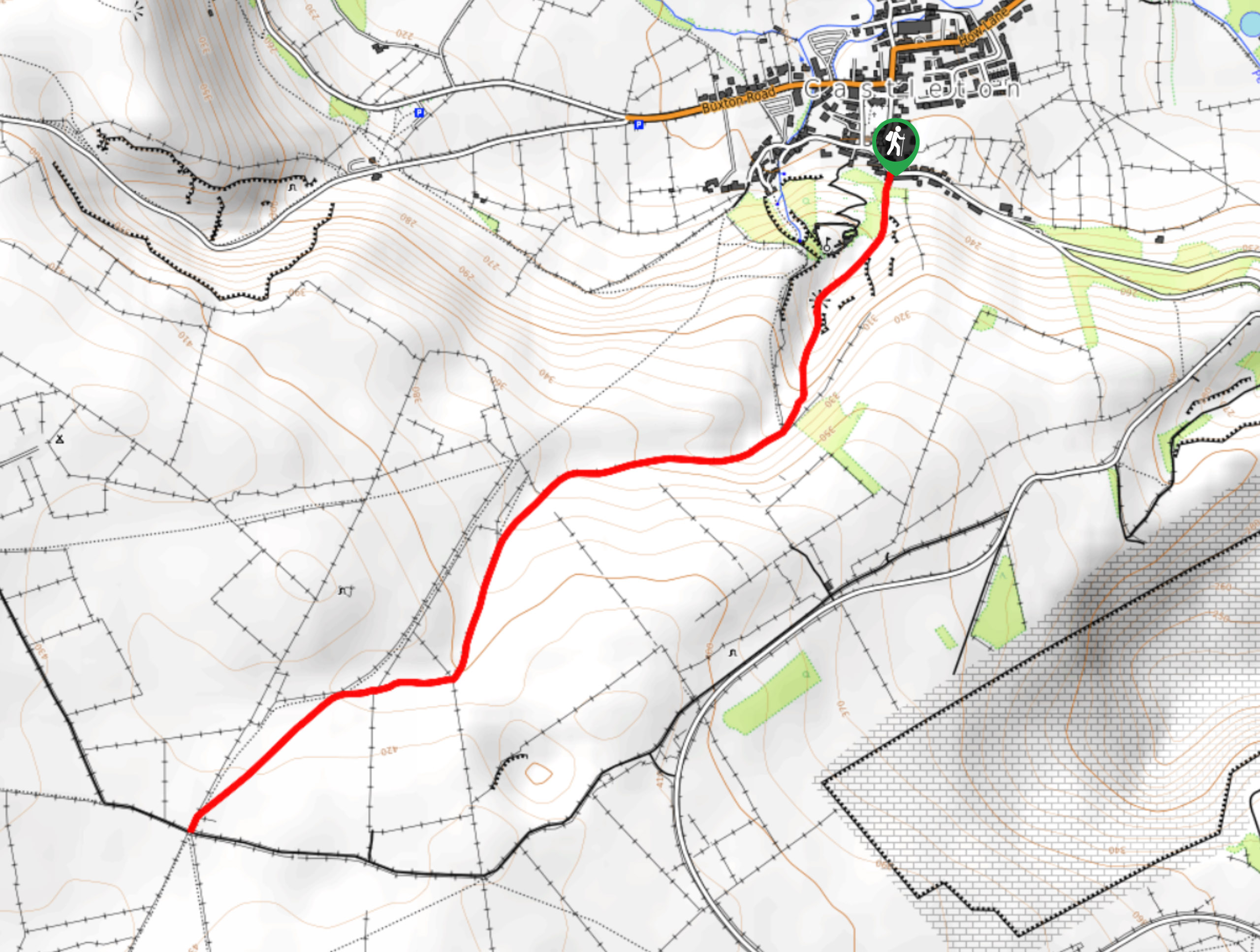
To reach the trailhead for the Cave Dale Walk from Hathersage, drive west on Main Road/A6187 for 5.5mi and continue onto Back Street. Follow this for 0.1mi and keep straight on Bargate for 120ft to arrive at the trailhead.

About
| When to do | March-November |
| Backcountry Campsites | No |
| Pets allowed | Yes - On Leash |
| Family friendly | Yes |
| Route Signage | Average |
| Crowd Levels | High |
| Route Type | Out and back |
Cave Dale Walk
Elevation Graph
Weather
Cave Dale Walk Description
Although the Cave Dale Walk is only a short 2.9mi route, the trail does climb uphill through the gulley for the first half of the journey. Make sure to wear comfortable shoes for the best footing along the trail. Additionally, this route can become very busy due to its scenic views and close proximity to Peveril Castle. Be sure to arrive early enough to secure parking and avoid the crowds.
This walk is a spectacular outing in the Peak District that isn’t too difficult and offers the opportunity to take in some scenic views of castle ruins and the rolling green hills of the surrounding landscape. While out on this walk, you will traverse well-maintained paths that climb uphill through a limestone gulley, before retracing your steps and taking in the views of Peveril Castle, an 11th Century ruin that overlooks the village of Castleton. There are a lot of spectacular views to experience on this short walk, making it a must-see if you are ever in Derbyshire.
Setting out from the trailhead, follow the trail between the buildings and make your way through a gate in the forest, before the path opens up into the rocky, grass-covered gulley of Cave Dale. Make your way through the picturesque setting and take in the views of nearby Peveril Castle, as you climb uphill along the trail and begin to exit the dale.
After 1.4mi of walking uphill, you will come to a junction with a lane that marks the end of the route. Turn back here and retrace your steps along the much easier downhill portion of the trail, keeping right at all the junctions in order to re-enter the dale. As you descend the hillside, you will have a spectacular view across the green undulating hills that are crowned by the 11th Century ruin of Peveril Castle.
After passing back through the rocky limestone outcrops of Cave Dale, head back between the buildings and make your way into the village of Castleton for a bit of exploration. For those looking to get up close and personal with the castle, there is a trail that sets out from the visitor’s centre that will take you uphill.
Other amazing walks in Peak District National Park
Check out our guides to Kinder Scout, Mam Tor, Stanage Edge, Dovedale, and Padley Gorge. Or see all of our Peak District walks on 10Adventures.
Insider Hints
Arrive early to secure parking, as this is a popular walk.
Head over to the Peveril Castle visitor’s centre after you walk to learn more about the local history.
Wear comfortable footwear, as the trail does climb uphill for a stretch.
Similar hikes to the Cave Dale Walk hike

Valehouse Reservoir Circular
The Valehouse Reservoir Circular is a 3.1mi lollipop trail near Glossop that travels around the edge of the…

Edale Rocky Ridges Walk
The Edale Rocky Ridges Walk is just that - an adventurous walk along a rugged ridgeline. While out on the…
Ladybower Reservoir & Derwent Edge Walk
The Ladybower Reservoir & Derwent Edge Walk is a fantastic route that offers gorgeous views across the Peak District Landscape.…
Comments