Skyline Trail to Aerial Tramway Top Station
View Photos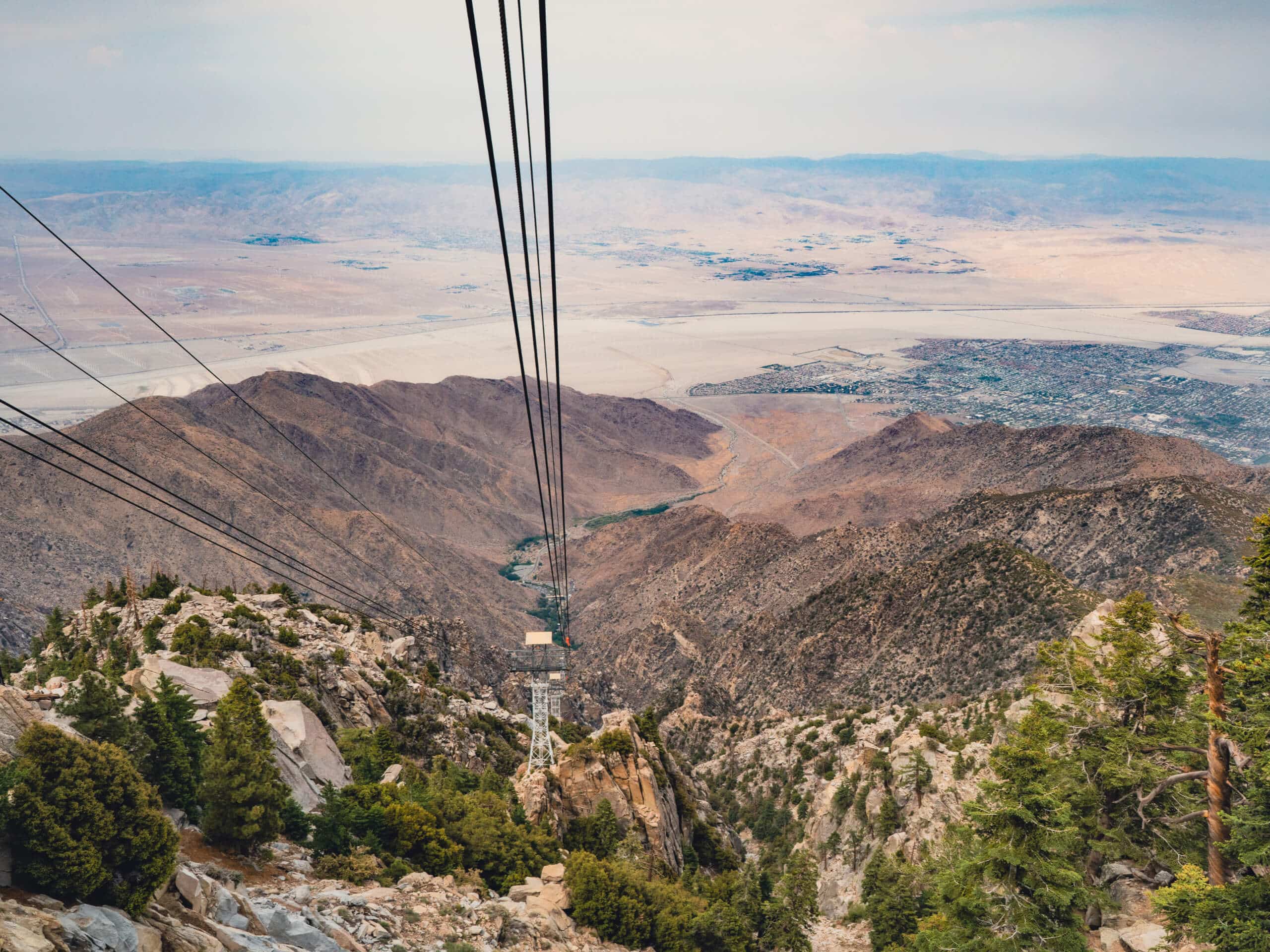
Skyline Trail to Aerial Tramway Top Station
Difficulty Rating:
The Skyline Trail to Aerial Tramway Top Station is an extremely strenuous, technical hiking adventure in Palm Springs, California. Expect insane elevation gains and some route-finding—this trail is tailor-made for experienced hikers seeking a challenge. It’s not for the faint of heart! The best part is that you can take the tram down the mountain at the end (for a fee).
Getting there
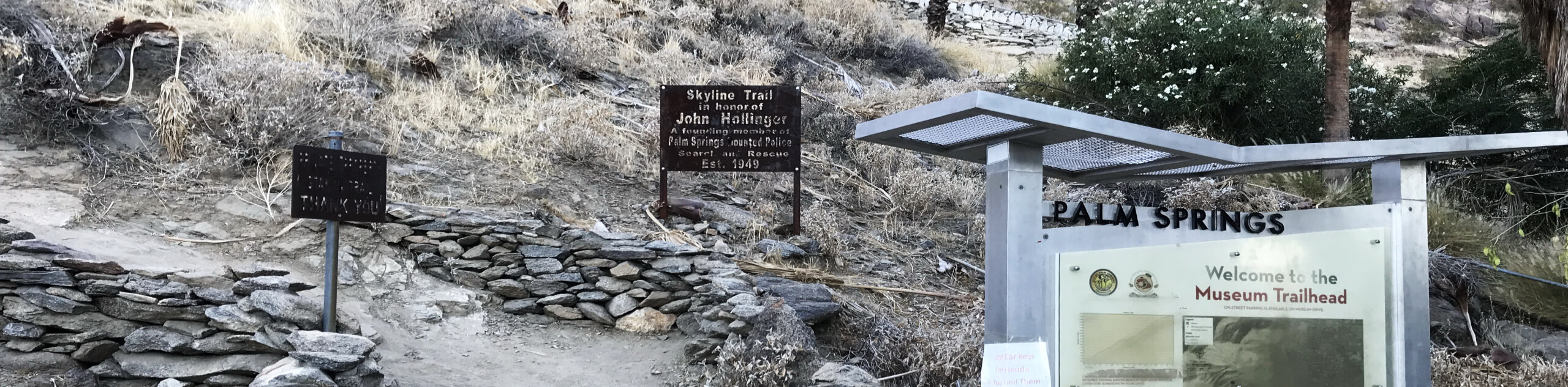
To get to the trailhead for the Skyline Trail to Aerial Tramway Top Station, head to the Palm Springs Art Museum and park along the street. At the end of your hike, the Palm Springs Aerial Tramway will take you about 6.2mi from the museum, so you’ll need to arrange transportation back to your car. The best way is to take a cab. Or, if you have two cars, you can park one at the Palm Springs Visitor Center for $10—residents of Coachella Valley won’t have to pay a fee if they can prove their address.

About
| Backcountry Campground | No |
| When to do | March-April; October-November |
| Pets allowed | No |
| Family friendly | No |
| Route Signage | Average |
| Crowd Levels | Moderate |
| Route Type | One Way |
Skyline Trail to Aerial Tramway Top Station
Elevation Graph
Weather
Skyline Trail to Aerial Tramway Top Station Description
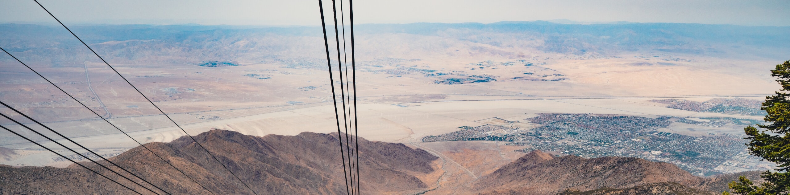
The Skyline Trail to Aerial Tramway Top Station is a challenging hike tailor-made for experienced hikers who know how to navigate technical trails. This one-way adventure follows along the same first 15km of the extremely difficult—several people dub it the hardest hike in America—Skyline Trail: Cactus to Clouds. It’s highly recommended to download a GPS before setting out, as navigation can be tricky in sections. When in doubt, continue going up. If you descend at one point, you might want to pause, check your GPS, and find the trail leading up.
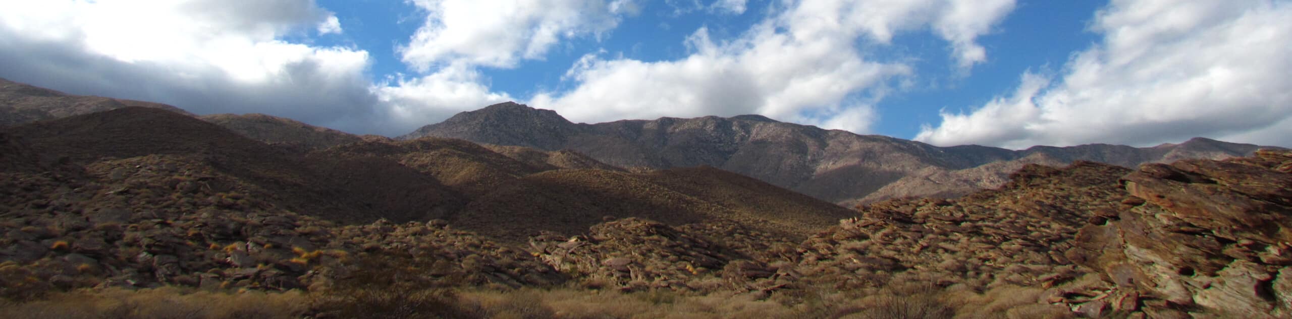
The first 1.5km will force you to climb over 274m to a lovely view, where you’ll encounter frightening signs, such as no water for 8 miles and rattlesnake warnings. If this freaks you out, it might be a good idea to turn around. But, if you have enough water and snacks and feel prepared physically, you’re in for quite the adventure.
En route to the tram at the top, you might encounter some ice and snow, making it essential to pack microspikes, just in case. At the top, relish in lovely views, enjoy a bite to eat at Peaks Restaurant, then rest your legs and take the tram down the mountain. Check out the tram schedule here!
Similar hikes to the Skyline Trail to Aerial Tramway Top Station hike
North Lykken Trail to Palm Springs Art Museum
Looking for a good workout? North Lykken Trail to Palm Springs Art Museum takes you along a challenging trail to…
Murray Hill Loop Hike
The Murray Hill Loop Hike is an adventure tailored for experienced and fit hikers. This hike is not for the…
Tahquitz Peak Loop Hike
The Tahquitz Peak Loop Hike takes you along a strenuous, punishing path hugged by nature towards the ever-so-rewarding Tahquitz Peak…
Comments