Murray Hill Loop Hike
View Photos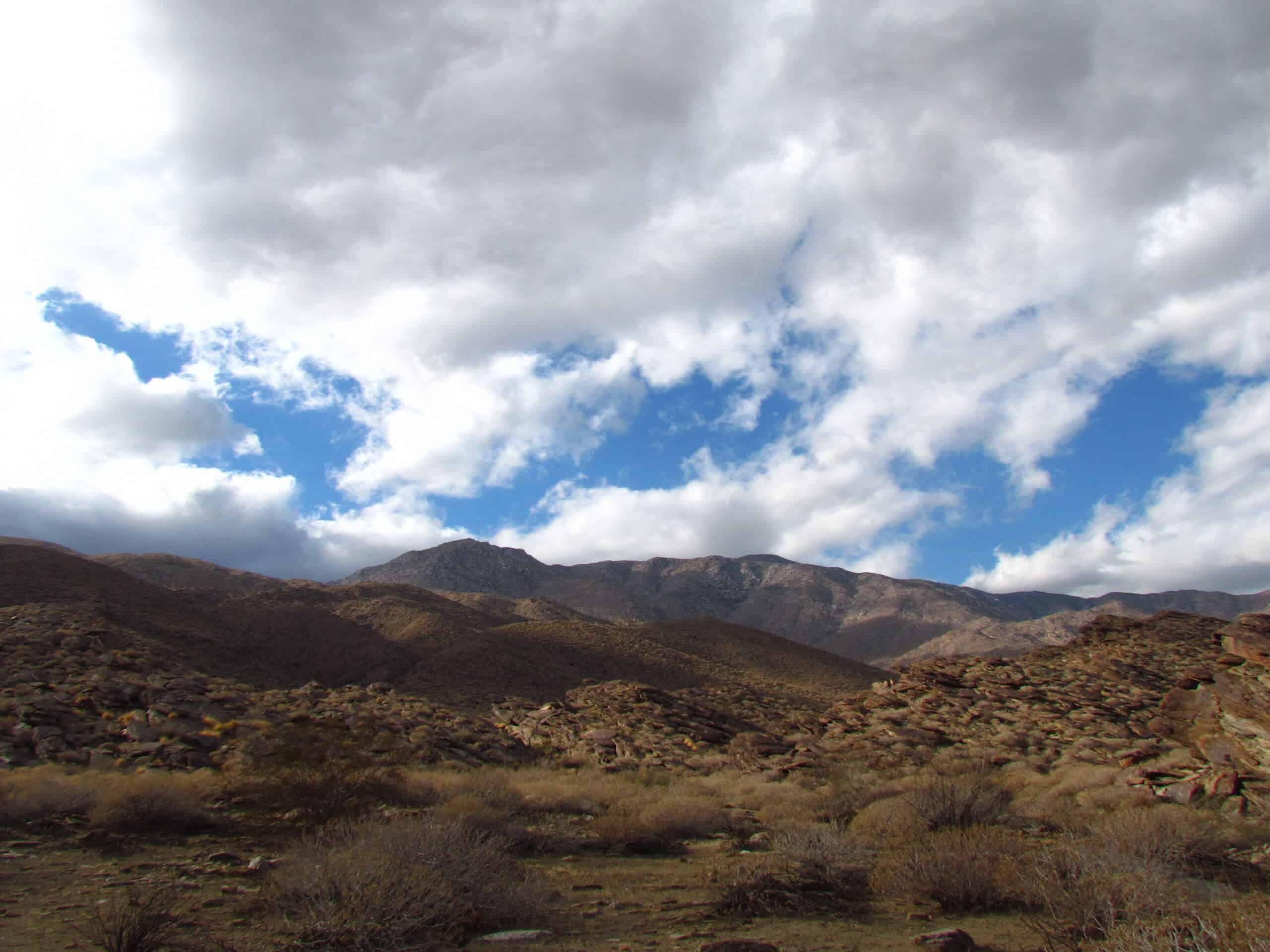
Murray Hill Loop Hike
Difficulty Rating:
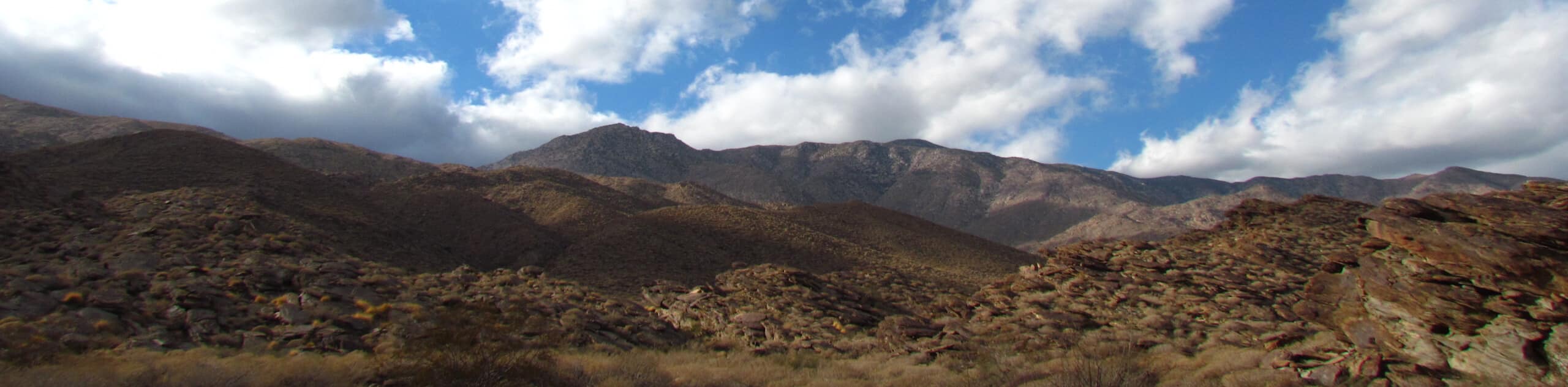
The Murray Hill Loop Hike is an adventure tailored for experienced and fit hikers. This hike is not for the faint of heart! However, the huffing, puffing, and leg burning will lead to the ultimate reward: peaks lining your sightline. (And phenomenal vistas of the valley of Palm Springs sprawled below).
Getting there
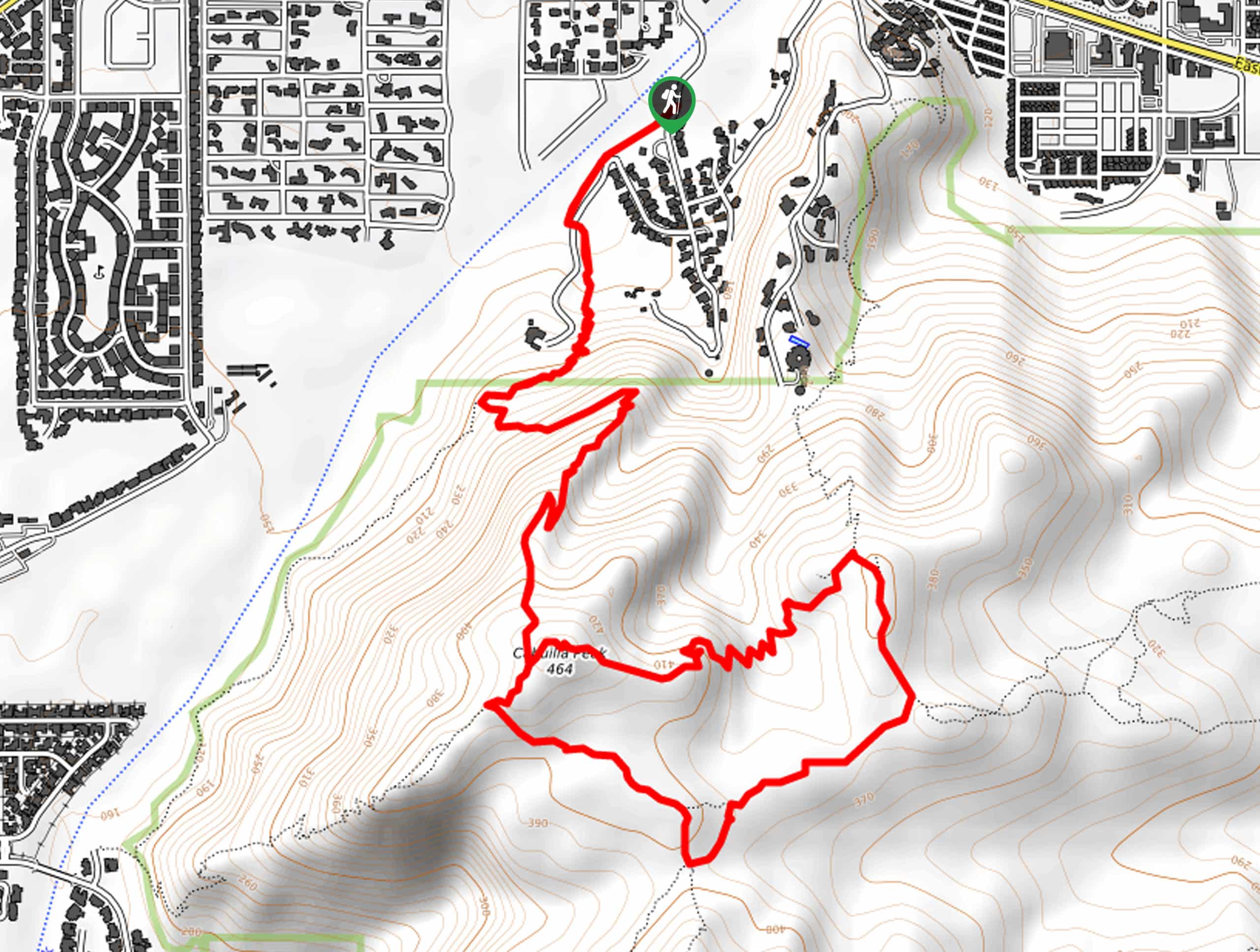
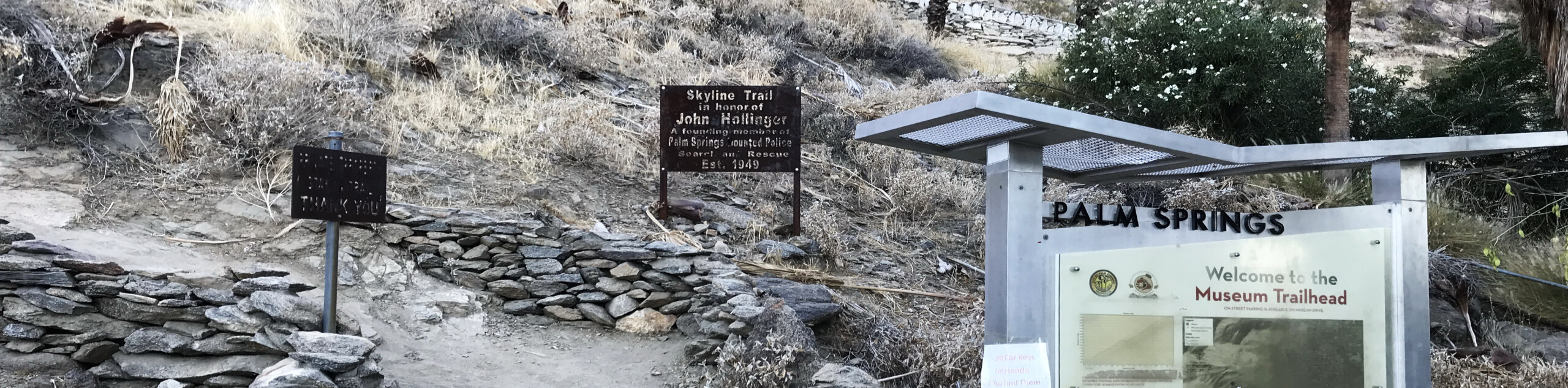
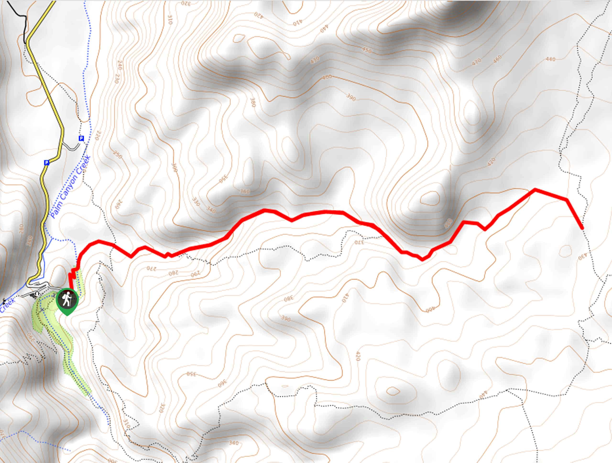
To get to the Murray Hill Loop Hike, head to the Garstin Trailhead off Barona Road.

About
| Backcountry Campground | No |
| When to do | March-October |
| Pets allowed | No |
| Family friendly | No |
| Route Signage | Average |
| Crowd Levels | Low |
| Route Type | Lollipop |
Murray Hill Loop Hike
Elevation Graph
Weather
Murray Hill Loop Hike Description
The Murray Hill Loop Hike is an unreal route in Palm Springs that unveils phenomenal views. Bask in vistas of peaks stretching across your sightline and of the scenic Palm Springs valley. The ultimate goal of this hike is to reach Murray Hill, whether walking in a clockwise or counterclockwise direction. Several users recommend counterclockwise to better soak in the surrounding scenery and views. Don’t forget to bring sunscreen, snacks, and plenty of water. You are going to be hiking in the desert after all!
Setting out from the Garstin Trailhead, you’ll follow Garstin Trail, ignoring the path to the left, jetting off to Cahuilla Peak. At the fork, go right to hit the circuit in a counterclockwise direction. After you’ve reached Murray Hill, continue looping around until you get back to the same fork, where you’ll follow the trail back towards Garstin Trailhead, where the hike began.
Similar hikes to the Murray Hill Loop Hike hike
Berns Trail
Berns Trail packs a heart-pumping workout, incredible views of Palm Springs, and a mountainous backdrop into one phenomenal outdoor adventure.…
North Lykken Trail to Palm Springs Art Museum
Looking for a good workout? North Lykken Trail to Palm Springs Art Museum takes you along a challenging trail to…
Fern Canyon Trail
The Fern Canyon Trail in Palm Springs, California, follows along a beautiful sandy wash, creating a beach-like vibe. Enjoy a…
Comments