Seahouses to Craster Walk
View Photos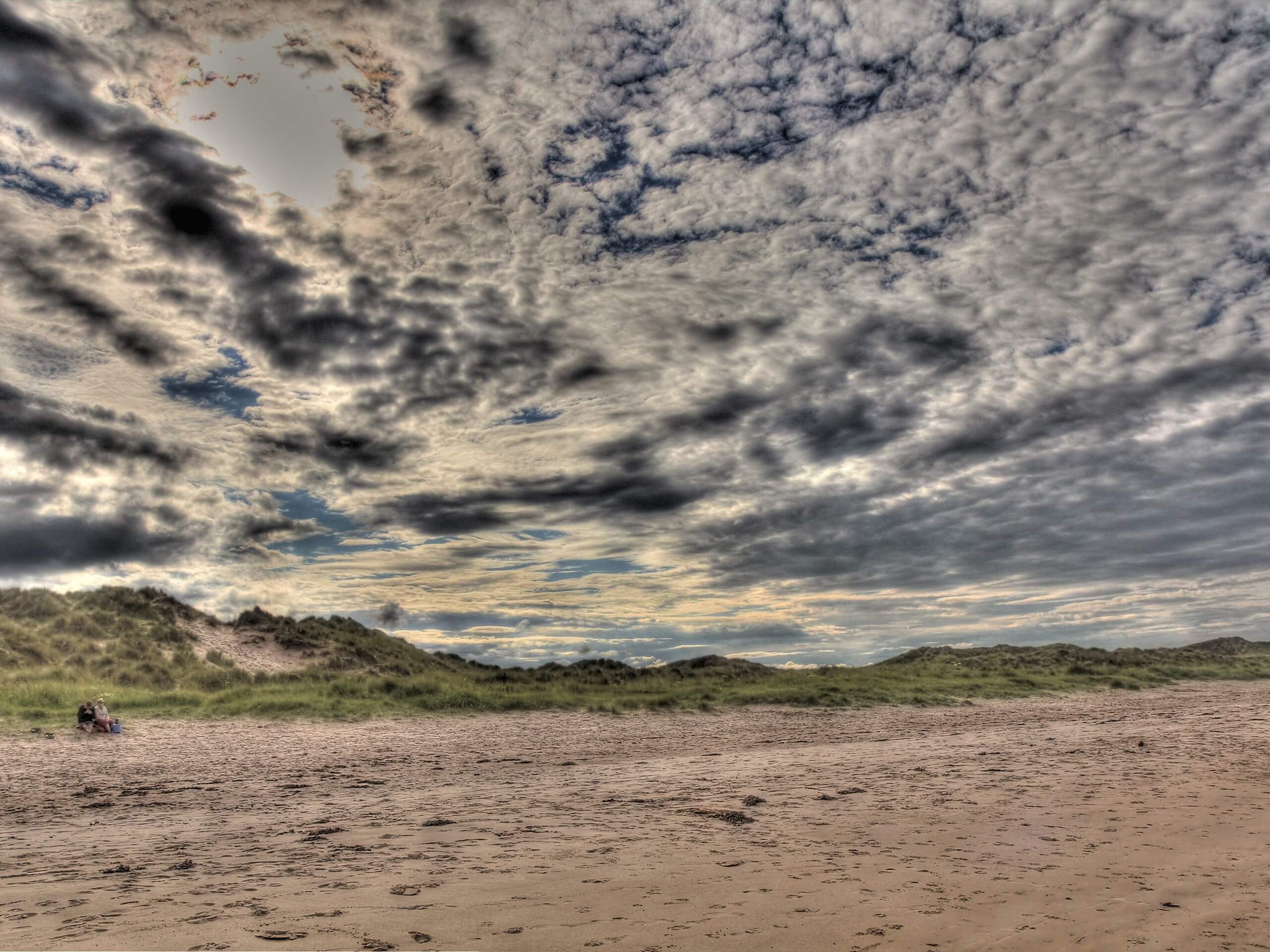
Seahouses to Craster Walk
Difficulty Rating:
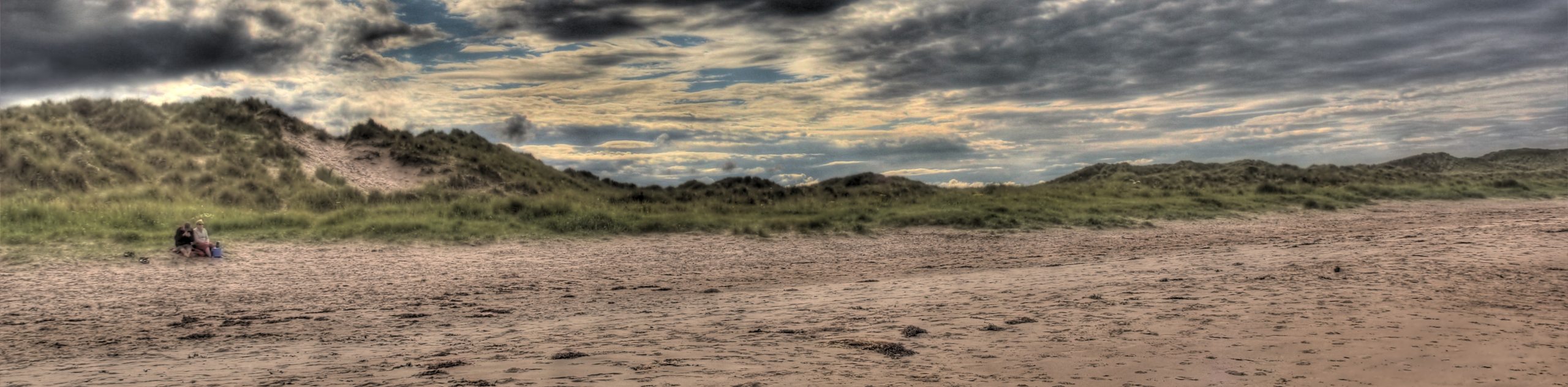
The Seahouses to Craster Walk is a beautifully scenic, albeit lengthy, walking route along the Northumberland coast that will take you to an historic castle. While out walking the trail, you will traverse the rugged coastal terrain and enjoy stunning views of the North Sea, before passing by the 14th Century Dunstanburgh Castle and making your way into the charming fishing village of Craster. If you enjoy exploring Medieval castles, set against the dramatic backdrop of the sea, then this will be a perfect route for you.
Getting there
The trailhead for the Seahouses to Craster Walk can be found at the Seahouses Post Office on Main Street.

About
| Backcountry Campground | Beadnell Bay Caravan Park |
| When to do | Year-Round |
| Pets allowed | Yes - On Leash |
| Family friendly | Older Children only |
| Route Signage | Poor |
| Crowd Levels | High |
| Route Type | One Way |
Seahouses to Craster Walk
Elevation Graph
Weather
Seahouses to Craster Walk Description
Featuring a mixture of urban pathways, rugged coastal terrain, and sandy beaches, the Seahouses to Craster Walk is a route that will definitely require some sturdy walking boots that are comfortable enough for such a journey. Additionally, you might want to consider bringing a trail map or GPS to remain on course. Lastly, this is a one-way trail, so you will need to either make travel arrangements to get back to the trailhead or plan on utilizing public transit.
Although some sections of this trail aren’t very well marked, overall it is a fantastic adventure that will truly showcase the natural beauty of the Northumberland coast. In addition to the stunning views, you will pass through charming seaside villages and have the chance to visit the impressive Dunstanburgh Castle that was constructed by Earl Thomas of Lancaster between 1313 and 1322. This is a great long-distance outing that will be sure not to disappoint!
Setting out from the trailhead next to the Seahouses Postal Office, you will turn left onto Main Street and follow it towards the roundabout, bearing to the right to continue on Main Street. Here, you will make a right just before The Old Ship Inn, following the road for a short distance before making a left onto Chapel Row. In 265ft, the road will narrow into a tight footpath, leading you between several buildings to arrive at North Street.
Turning left here, you will keep straight for 0.1mi, where the road will transition into a footpath. Making your way to the southeast, you will follow along the picturesque coastline, rounding Seahouses Point and the Braidcarr Rocks on the way to the Seahouses Golf Club. Continuing on to the south, you will traverse the golf course and cross over Annstead Burn, at which point you will make your way along the sandy expanse of the beach for 0.8mi while taking in the beauty of the North Sea.
Here, you will head right on a path leading away from the beach that will bring you to the edge of B1340. Turn left and follow the road south, keeping left onto Harbour Road and following it for 0.6mi through Beadnell. Here, you will turn right to stay on Harbour Road for another 0.7mi, where the road will transition into a footpath just beyond the campgrounds.
After 0.6mi, you will traverse a bridge over Long Nanny and continue on to the southeast, passing through Newton Link House on the way towards Newton Point. Instead of following the trail all the way to the coast, you will veer off to the southwest to pass through Low Newton-by-the-Sea, before skirting the edge of the Dunstanburgh Castle Golf Course on the edge of the sea. Shortly after passing the golf course, you will arrive at the impressive site of Dunstanburgh Castle, a 14th Century fortification overlooking the water.
After taking some time to explore the castle, you will continue on to the south for 1.5mi, enjoying the final views of the North Sea before arriving at the endpoint of the route in Craster. Here, you will find the Jolly Fisherman Inn, a great place to pop in for a quick drink or bite to eat after your long adventure along the Seahouses to Craster Walk
Trail Highlights
Dunstanburgh Castle
Dating back to the 14th Century, the ruins of Dunstanburgh Castle can be found along the Northumberland coast and are situated atop an earlier Iron Age fort. Constructed by Earl Thomas of Lancaster between 1313-1322, the fortifications were likely meant to serve as a refuge in the event of political turmoil in England, as the Earl was in opposition to King Edward II. In the following centuries, the castle would be improved and would go on to play an important role in the conflicts with the Scots, as well as the later War of the Roses.
Frequently Asked Questions
Is there a fee to enter Dunstanburgh Castle?
There is a fee to enter Castle Dunstanburgh, as the site is operated By English Heritage.
How old is Dunstanburgh Castle?
Construction on the Medieval Dunstanburgh Castle began in 1313 and finished in 1322, although the Iron Age fort situated beneath it is much older.
Insider Hints
Wear comfortable walking footwear with good support.
Bring a trail map or GPS
Book tickets in advance if you are hoping to fully explore Dunstanburgh Castle.
Similar hikes to the Seahouses to Craster Walk hike

Hadrian’s Wall: Steel Rigg to Lanercost
Walking Hadrian’s Wall: Steel Rigg to lanercost is a fantastic - albeit lengthy - adventure that will lead you across…

Hadrian’s Wall: Wallsend to Heddon on the Wall
Hadrian’s Wall: Wallsend to Heddon on the Wall is the first section of the long distance Hadrian’s Wall Path walking…

Scotch Gill Woods Walk
The Scotch Gill Woods Walk is a short and easy-going adventure in Morpeth, Northumberland that will take you through a…
Comments