Otterburn Ranges to Buchtrig Walk
View Photos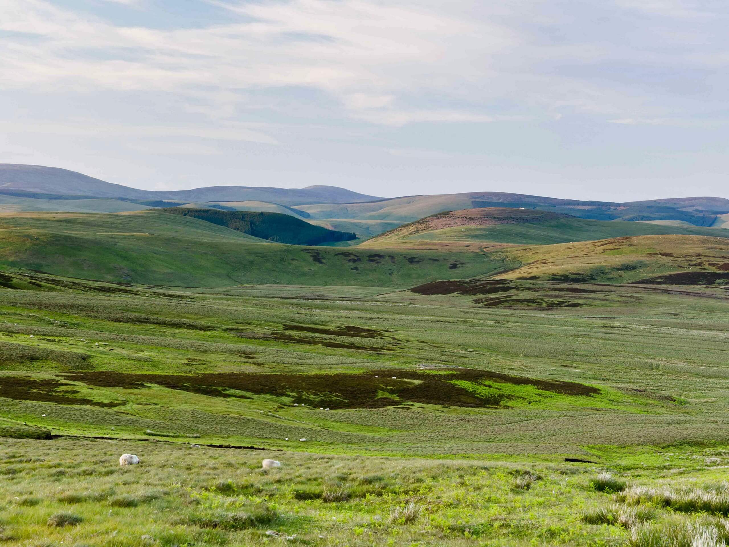
Otterburn Ranges to Buchtrig Walk
Difficulty Rating:
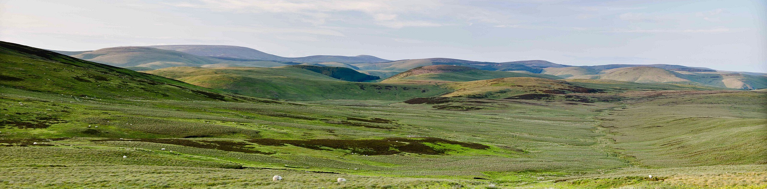
The Otterburn Ranges to Buchtrig Walk is an exceptional adventure in Northumberland that offers stunning views of the surrounding hills. While out walking the trail, you will traverse the undulating landscape of the Otterburn Ranges, where you will enjoy amazing views of the surrounding hills as you cross over the Scotland/England border and pass by the Iron Age hillfort atop Woden Law. This is an amazing walking route if you are looking to get outside and experience an unspoiled stretch of wilderness in Northern England.
Getting there
The trailhead for the Otterburn Ranges to Buchtrig Walk can be found at the Chew Green car park on Roman Road, just 6mi northeast of the Border Forest Holiday Park.

About
| Backcountry Campground | No |
| When to do | April-September |
| Pets allowed | Yes - On Leash |
| Family friendly | Older Children only |
| Route Signage | Average |
| Crowd Levels | Moderate |
| Route Type | Out and back |
Otterburn Ranges to Buchtrig Walk
Elevation Graph
Weather
Otterburn Ranges to Buchtrig Walk Description
Featuring some rugged terrain and beautifully scenic views of the surrounding hills, the Otterburn Ranges to Buchtrig Walk will certainly require you to wear some sturdy walking boots with great support. Additionally, you will be passing through a fairly wild and untouched part of Northern England, so a GPS, trail map, and compass will come in handy to ensure that you don’t get lost.
While the route may be a little bit off the beaten path, you will feel totally at peace as you traverse the undulating hills that surround either side of the England/Scotland border. As you walk the ups and downs of this scenic trail, you will pass by a number of ancient sites, including the Chew Green Roman Fort and Iron Age hillfort atop Woden Law, making this amazing adventure more that suitable for outdoor and history enthusiasts alike.
Setting out from the car park, you will head to the southwest along the road for 100ft, crossing over Chew Sike to pick up the track branching off to the right. Here, you will pass through a gate and continue on for 0.2mi to arrive at a junction, at which point you will take the path on the right to climb uphill.
As you climb over the hill, you will pass by the historical site of Chew Green, a large complex of earthenwork structures that was once made up a Roman military encampment in the region. Shortly after passing by the fort, you will once again cross over the banks of Chew Sike and follow the path as it leads to the northeast.
Take some time to appreciate the rugged beauty of the surrounding hills, as you work your way to the north over the next 1.4mi to arrive at a junction. Here, you will take the path on the left known as Dere Street and cross over the England/Scotland border, following it towards the Iron Age hillfort atop Woden Law.
After passing by the ancient earthenwork fortification, you will continue on to the north along the slopes of Langside Law, where you will eventually come to the endpoint of the route at Buchtrig. Pause here for a quick rest, before turning back along the same route to relive the beautiful scenery, crossing over the border once more to arrive back at the car park having completed the Otterburn Ranges to Buchtrig Walk.
Trail Highlights
Woden Law
Situated in the Scottish Borders region, near the border of Northumberland, Woden Law is a rugged hill with a height of 1385ft. At the summit of the hill can be found the remnants of an Iron Age hillfort that is composed of a series of ramparts. Of these earthenwork belts, the innermost is the most recent and is lined with stone.
Insider Hints
Wear sturdy walking boots with good support for this adventure.
Terrain here is fairly exposed to the elements, so remember to bring appropriate clothing.
A GPS, trail map, and compass are recommended in the event that you lose your way
Similar hikes to the Otterburn Ranges to Buchtrig Walk hike

Hadrian’s Wall: Steel Rigg to Lanercost
Walking Hadrian’s Wall: Steel Rigg to lanercost is a fantastic - albeit lengthy - adventure that will lead you across…

Hadrian’s Wall: Wallsend to Heddon on the Wall
Hadrian’s Wall: Wallsend to Heddon on the Wall is the first section of the long distance Hadrian’s Wall Path walking…

Scotch Gill Woods Walk
The Scotch Gill Woods Walk is a short and easy-going adventure in Morpeth, Northumberland that will take you through a…
Comments