
Cawthorn Roman Camps Walk
View Photos
Cawthorn Roman Camps Walk
Difficulty Rating:
The Cawthorn Roman Camps Walk is a quick and easy walking route in North York Moors National Park that will showcase some of the ancient history that can be found in the region. While out on the trail, you will explore the earthwork remnants of a Roman encampment dating back to the late 1st/early 2nd Century CE. Surfaced paths and level terrain make this route suitable for all ages and skill levels, including wheelchairs and families with pushcarts.
Getting there
To reach the trailhead for the Cawthorn Roman Camps Walk from Pickering, head northeast on Teal Lane for 430ft and turn right onto Swainsea Lane, following it for 3.5mi. Make a left here and continue for 0.4mi before turning right. Follow this road for 0.3mi to arrive at the car park.

About
| Backcountry Campground | No |
| When to do | Year-Round |
| Pets allowed | Yes - On Leash |
| Family friendly | Yes |
| Route Signage | Average |
| Crowd Levels | Moderate |
| Route Type | Lollipop |
Cawthorn Roman Camps Walk
Elevation Graph
Weather
Cawthorn Roman Camps Walk Description
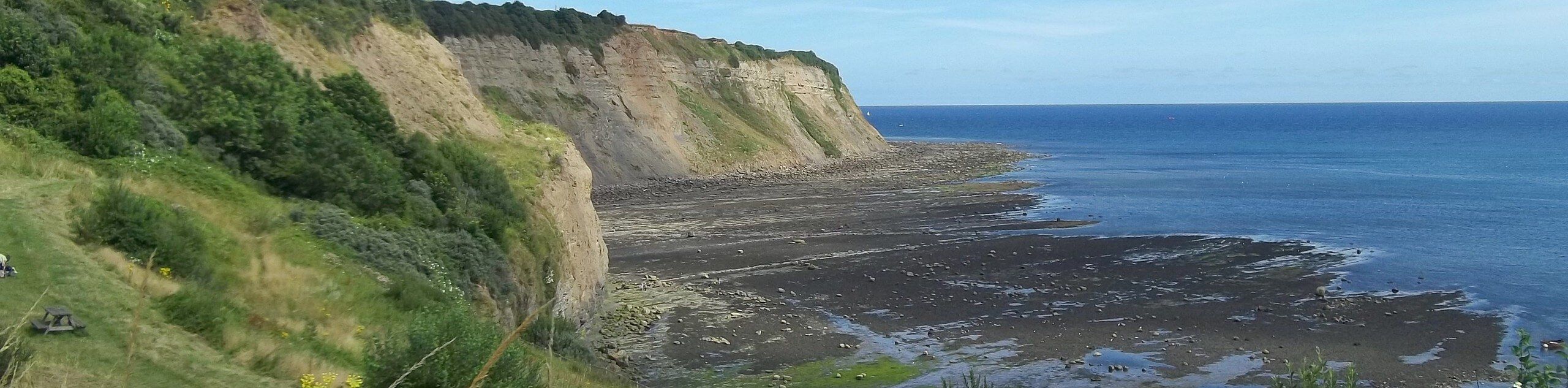
If you are a fan of visiting interesting historical sites rather than taking long and arduous journeys through the countryside, then you will definitely want to check out the Cawthorn Roman Ramps Walk. Dating back to the early portions of the Roman occupation of Britain, the camps are thought to have been used for practice rather than any true military applications. Even still, it is a fascinating site that offers a great insight into this ancient period of British history.
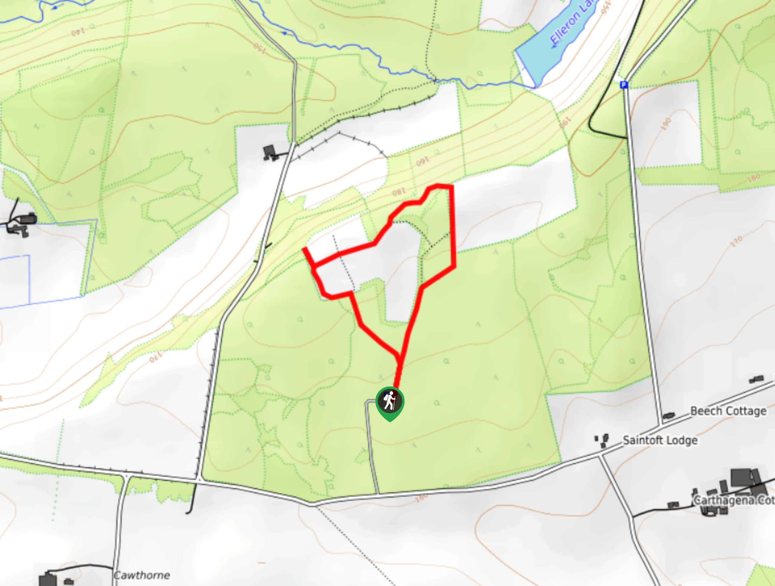
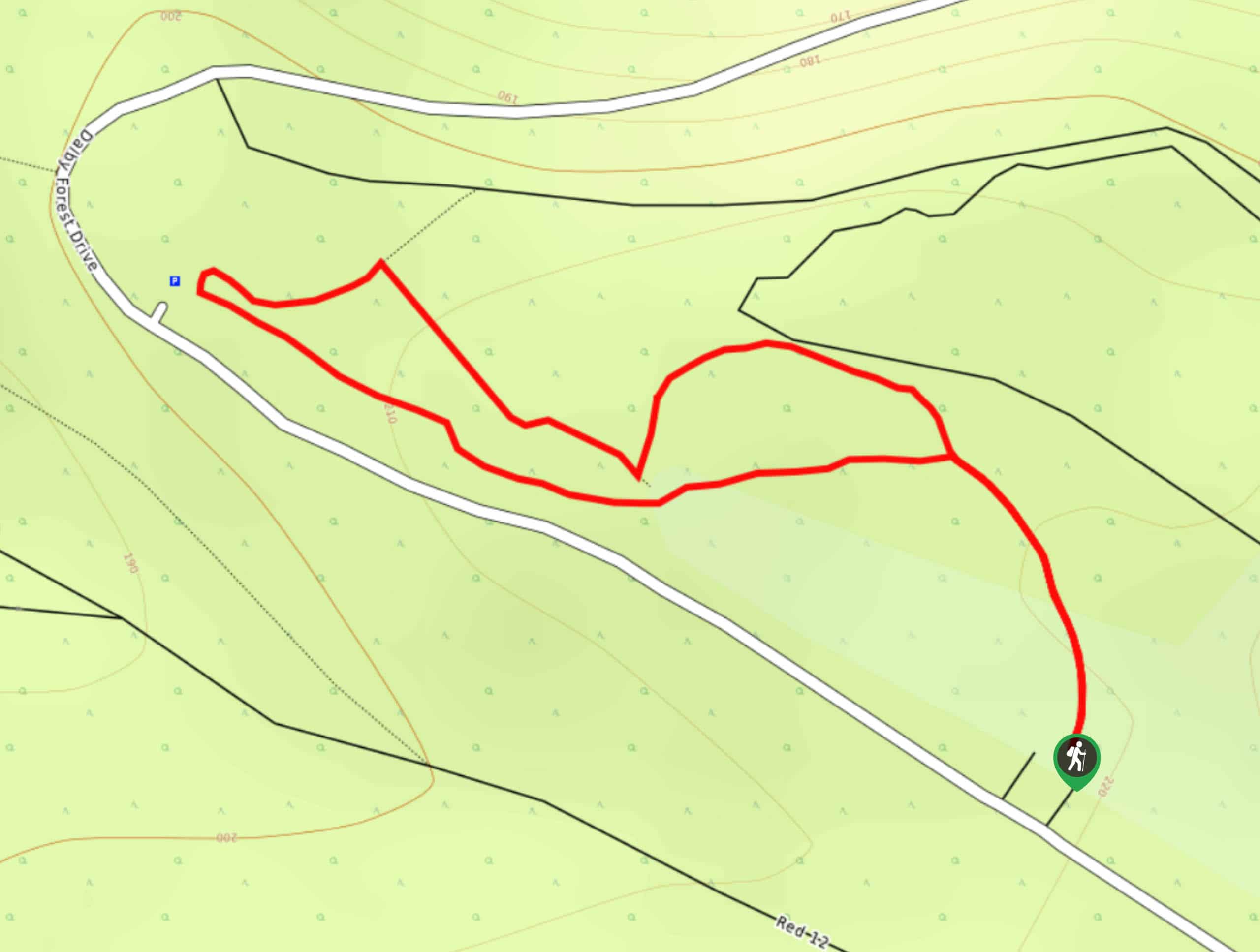
Setting out from the car park, you will head to the northeast and climb gently uphill through the tree cover to visit the easternmost of the encampments. From here, you will make your way to the southwest, taking in the full scope of the Roman Camps before arriving at a splendid viewpoint overlooking the North York Moors.at this pint, you will turn to the south and walk along the earthwork fortifications, taking in some final views of the camp before returning to the car park.
Similar hikes to the Cawthorn Roman Camps Walk hike

Farndale Railway Walk to Blakey Ridge
The Farndale Railway Walk to Blakey Ridge is a lengthy but easy-going route that will allow you to experience the…
Whitby to Robin Hood’s Bay Walk
The Whitby to Robin Hood’s Bay Walk is an easy adventure through North York Moors National Park that will produce…
Adderstone Field Circular Walk
The Adderstone Field Circular Walk is a quick and easy journey in North York Moors National Park that features easy…
Comments