Whyte Lake Hike
View Photos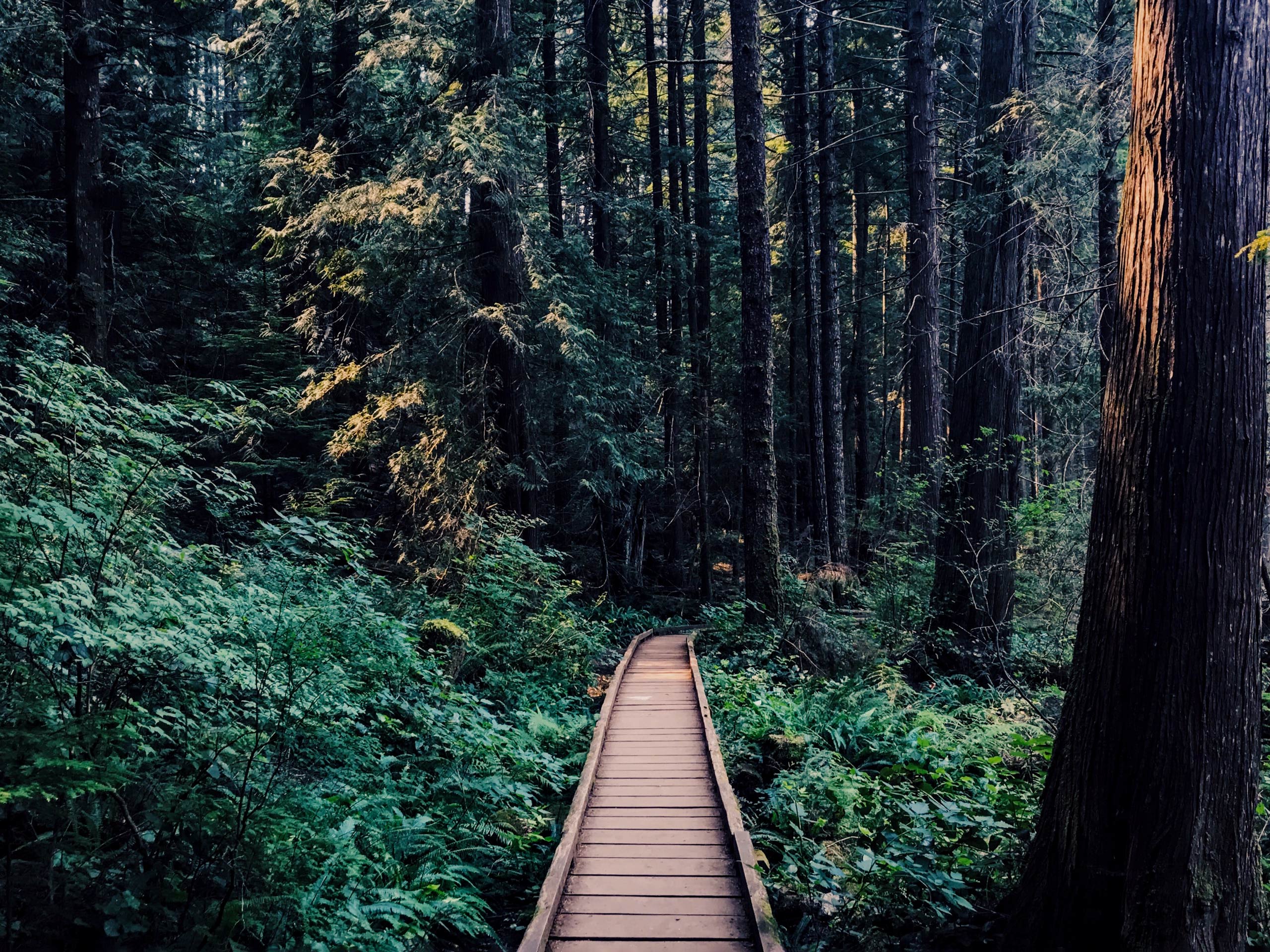
Whyte Lake Hike
Difficulty Rating:
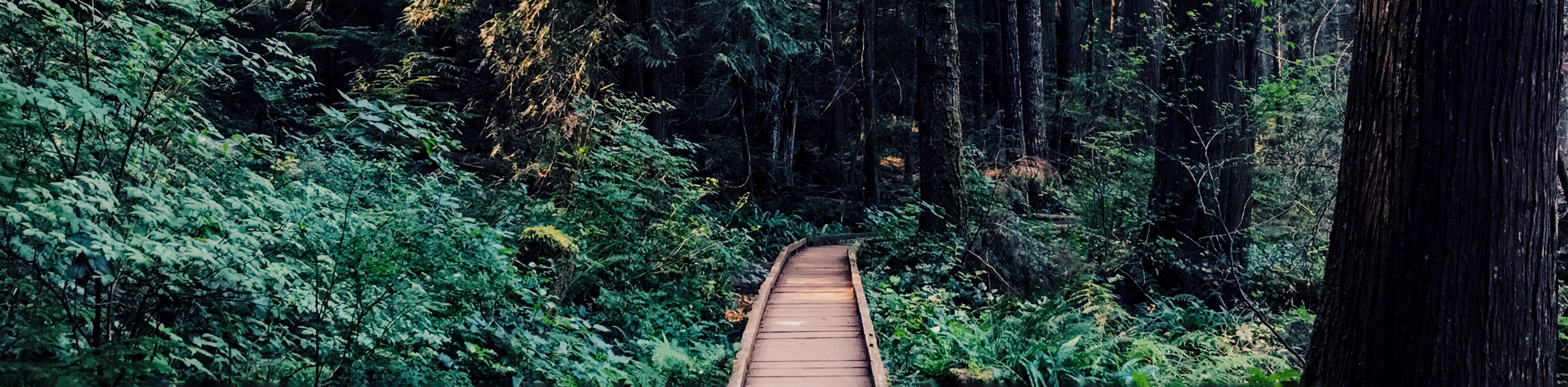
Follow along the Whyte Lake Trail as it meanders along creeks, over moss-covered bridges, and past mammoth old-growth Douglas Firs. Relax on the secluded north shore beach of Whyte Lake, or hop off the wooden dock to cool off for a swim. This scenic hike offers a prime example of hiking through a Pacific temperate rainforest climate.
Getting there
To get to the Whyte Lake trailhead from downtown Vancouver, follow BC-99 north for 10.3mi and take exit 4 toward Woodgreen Drive. Turn left onto Westport Rd and follow it for 1.2mi. The parking lot will be on your right, sandwiched between Westport Rd and the highway.

About
| When to do | Year-Round |
| Backcountry Campsites | No |
| Pets allowed | Yes - On Leash |
| Family friendly | Yes |
| Route Signage | Average |
| Crowd Levels | High |
| Route Type | Out and back |
Whyte Lake Hike
Elevation Graph
Weather
Whyte Lake Hike Description
The Whyte Lake Trail is a short out-and-back hike in West Vancouver that meanders along Whyte Creek before arriving at its namesake, a tranquil lake nestled within the Pacific temperate rainforest. The trail itself begins with a fairly steep incline but levels out quickly, making this 3.4mi hike a great option to get out for some exercise with the family before spending some relaxation time hanging out by Whyte Lake.
Setting off on the trail from the parking lot along Westport Road, pass by the metal gate and follow the gravel road as it passes underneath the highway. As you come out on the other side of the overpass, continue to follow the gravel path as it begins a short but steep incline. This section of the trail is the steepest and most strenuous; however, it levels off rather quickly and you can easily continue on your way up to the lake.
As the road bends to the left, you will notice a water tower that will come into your view. From here, locate the sign on your right, marking the start of the trail and follow it uphill into the forest. Continue walking through this section of mixed forest as it gradually climbs up the Trans Canada Trail.
After 1640ft, hikers will approach a junction in the trail with a sign directing you left toward Whyte Lake. Follow this path down the hill as it passes along sections of old, wooden, moss-covered railings. Throughout this portion of the hike, you will be able to spot a number of old-growth Douglas Fir trees. Keep an eye out for their mammoth, lichen-covered frames as you breathe in the purified rainforest air while walking along the canyon.
As you approach Nelson Creek, you will need to cross a wooden bridge that, depending on the season, could be covered in mud, snow, or ice. Shortly after this, you will come upon another bridge that spans Whyte Creek. Roughly 1312ft after crossing this second bridge, there will be a trail marker to the right designating Whyte Lake. Following this path to the right will lead you to the tranquil lake and a small dock that you can use for swimming if you so wish.
Alternatively, you can continue on the path to the left, which skirts around the lake, allowing you to reach its north shore. Take some time to relax and have lunch on the secluded beach that can be found here, before heading back down the trail to return to the carpark.
Hiking Trail Highlights
Whyte Lake
With a quaint wooden dock and a secluded beach on its north shore, Whyte Lake is the perfect spot to lounge around the water or go for a quick swim after your hike. Although there aren’t any vantage points of the surrounding area, the forest around the lake is very scenic, with towering trees that provide a perfect backdrop for a peaceful hike.
Insider Hints
While many people swim in the lake, there is a sign stating that it is not suitable for this purpose. Do so at your own discretion.
Although the trail is accessible year-round, portions of the trail can become covered in mud, snow or ice during winter months. Use caution when hiking these areas and wear proper hiking footwear/crampons.
Arrive early or on off-peak days, as the parking lot on Westport Road will fill up quickly.
If you don’t mind a bit of mud, try this trail during or after rainfall. The moisture in the air creates a mist that lingers through the trees, creating a real rainforest atmosphere!
Similar hikes to the Whyte Lake Hike hike
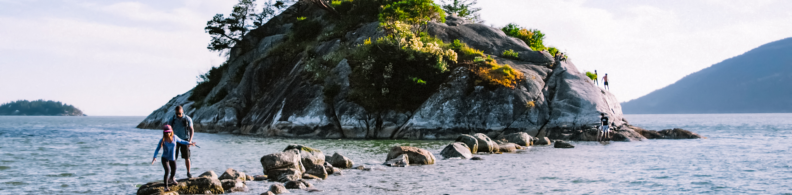
Whytecliff Park - Panorama Ridge Trail
The Panorama Ridge Trail is a short trail within Whytecliff Park that is perfect for an afternoon stroll to get…

Old Buck and Bridle Trail Loop
The Old Buck and Bridle Trail Loop is an amalgamation of the Old Buck, Bridle, and Baden Powell trails that…

Goldie and Flower Lake Loop
The Goldie and Flower Lake Loop is a short trail that makes its way through the peaceful terrain surrounding these…
Comments