Mosquito Creek Hike
View Photos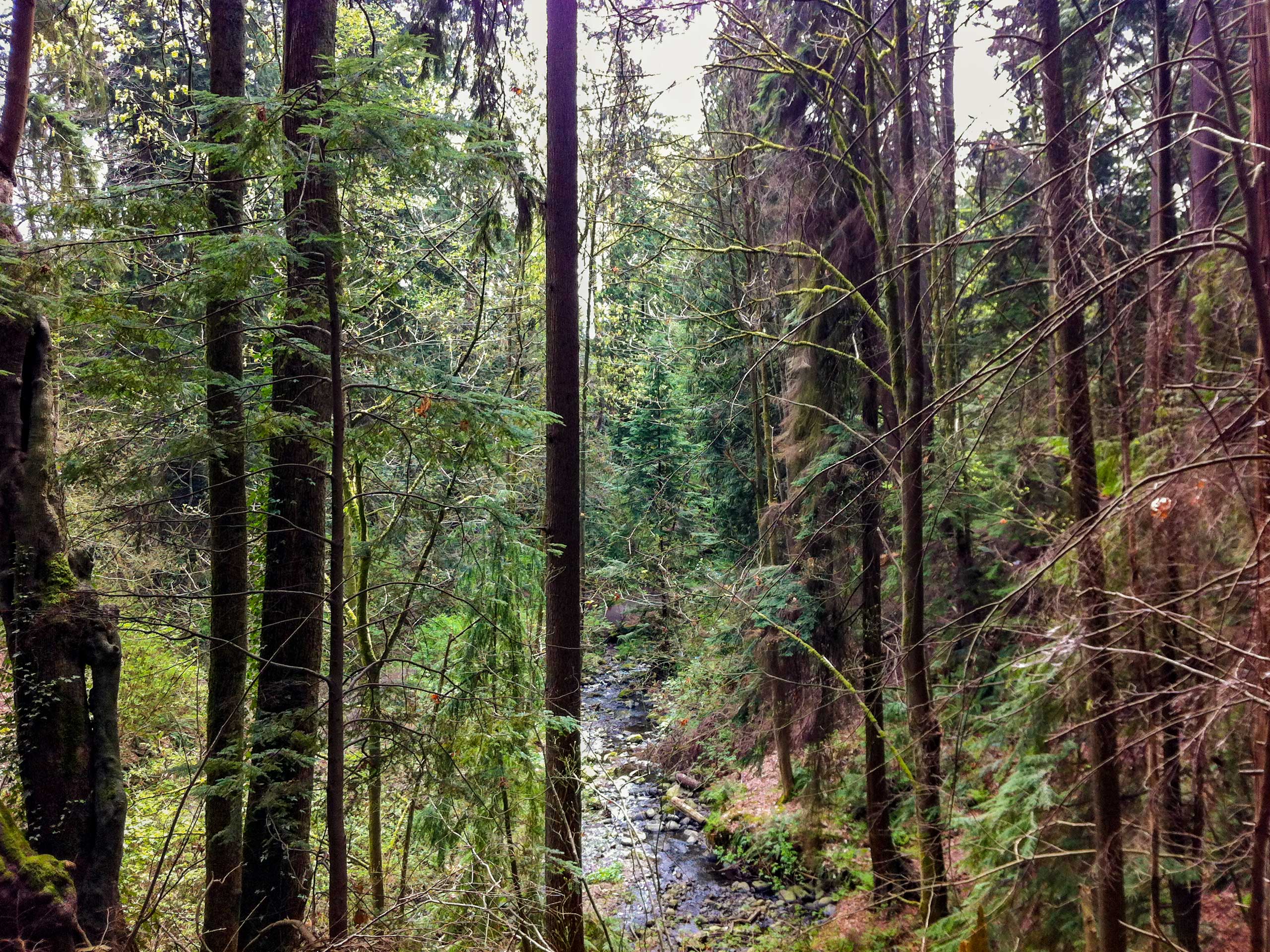
Mosquito Creek Hike
Difficulty Rating:
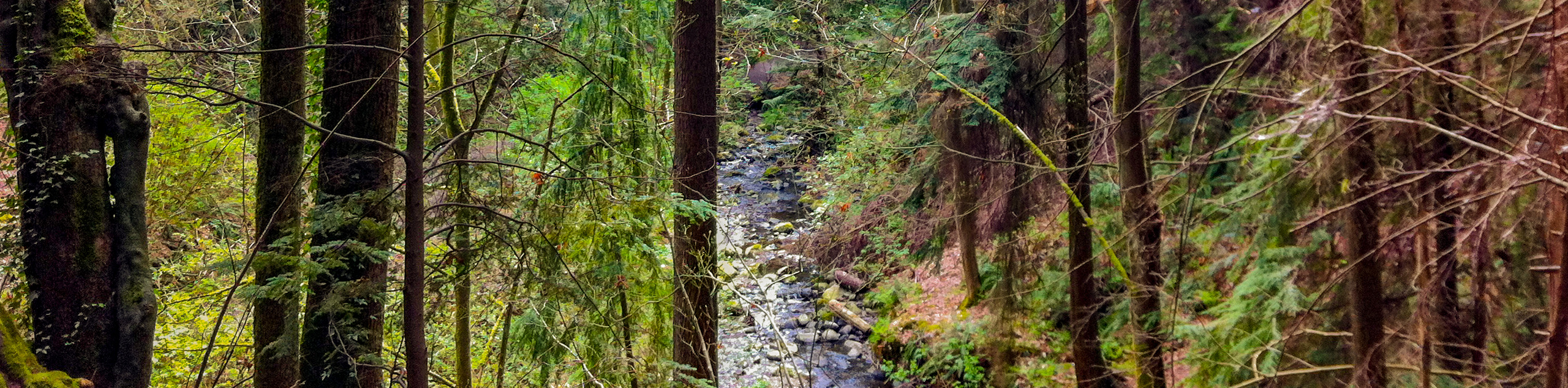
The Mosquito Creek Hike is a secluded and scenic urban hiking trail on the North Shore of Vancouver that features a gentle incline and forested paths. This makes it popular with hikers and dog walkers alike, as the route is not overly difficult but gives off the feeling of having escaped the city. The trail also serves as a great access point for the network of routes along the Baden Powell trail that can be found at the northern tip of the Mosquito Creek Hike.
Getting there
To get to the Mosquito Creek trailhead from Vancouver, head north on Trans Canada Highway/BC-1 W and cross over Ironworkers Memorial Bridge. Take exit 17 and turn left onto Westview Drive, following it for 2789ft before turning right onto Larson Road. After 1476ft, turn right onto Fell Avenue and right again onto 17th Street West to reach the parking area.

About
| When to do | Year-Round |
| Backcountry Campsites | No |
| Pets allowed | Yes - On Leash |
| Family friendly | Yes |
| Route Signage | Average |
| Crowd Levels | High |
| Route Type | Circuit |
Mosquito Creek Hike
Elevation Graph
Weather
Mosquito Creek Hike Description
The Mosquito Creek Hike is a 4.6mi loop trail that crosses over Mosquito Creek before making its way north toward the Baden Powell Trail. Popular with hikers and dog walkers because of its gentle incline, this is an easy urban hiking trail that will make you feel as though you have gotten out of the city for the day.
Setting out from the parking area on West 17th Street, follow the trail at the end of the road to the right, passing through the junction top to make your way over Mosquito Creek. Take the trail to the left, following it north as it skirts along the eastern bank of the creek. Keep moving along the trail as it makes its way under the highway overpass and into William Griffin Park. The trail will soon come to a head, and you will need to walk through the parking lot and out along Del Rio Drive for 984ft, where you will be able to pick the trail back up.
Continue on as the trail enters Mosquito Creek Park and meanders through the forest. When you have reached Montroyal Boulevard, you can either cross the road and extend your hike along the Baden Powell Trail to the north or turn back and complete the remainder of the loop.
Heading south down the trail, make your way back along Del Rio Avenue until you once again reach William Griffin Park. From here, pick the trail back up and follow it to the right to continue along the western side of the creek. Keep moving down the trail until you arrive back at the parking area, having completed the Mosquito Creek Hike.
Similar hikes to the Mosquito Creek Hike hike

Whytecliff Park - Panorama Ridge Trail
The Panorama Ridge Trail is a short trail within Whytecliff Park that is perfect for an afternoon stroll to get…

Old Buck and Bridle Trail Loop
The Old Buck and Bridle Trail Loop is an amalgamation of the Old Buck, Bridle, and Baden Powell trails that…

Goldie and Flower Lake Loop
The Goldie and Flower Lake Loop is a short trail that makes its way through the peaceful terrain surrounding these…
Comments