
Stetattle Trail
View Photos
Stetattle Trail
Difficulty Rating:
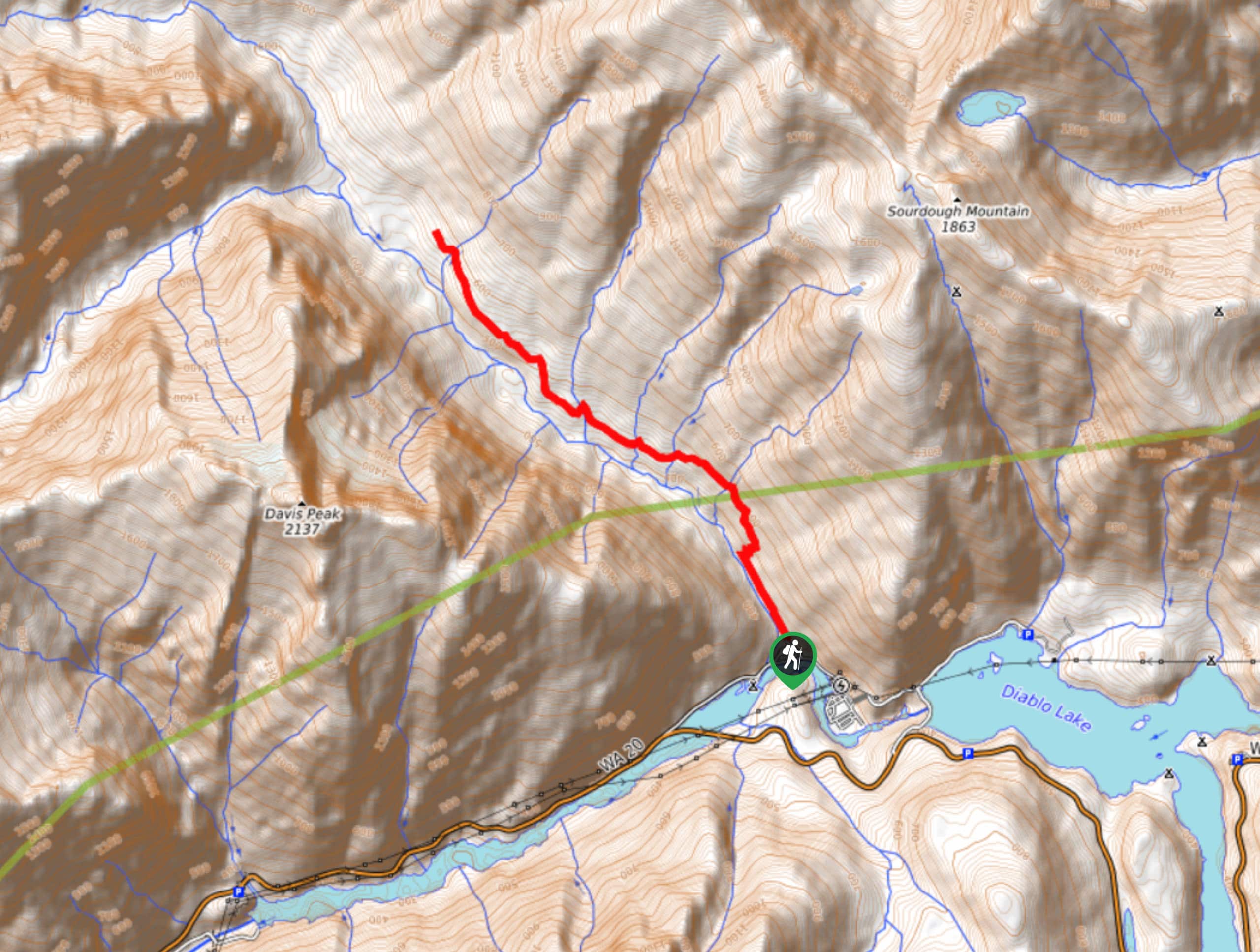
Stetattle Trail is a mouthful, but it’s also a beautiful moderate hike. This trail is straightforward (literally) and quite scenic. There is a scramble section over some washout that is fun for adventurous kids to climb and not too challenging for most adventurers.
The trailhead for this hike is hard to find, so we recommend following the GPS track closely as you track it down.
Getting there
The trailhead for Stetattle Trail is in the woods off a cul de sac at the end of a residential street off Diablo Street.

About
| Backcountry Campground | No |
| When to do | May-October |
| Family friendly | Yes |
| Route Signage | Poor |
| Crowd Levels | Moderate |
| Route Type | Out and back |
Stetattle Trail
Elevation Graph
Weather
Stetattle Trail Description
Stetattle Trail is a great moderate hike with good scenery. This trail follows the river through a valley and back. There’s one section of scrambling, but it’s nothing too intimidating and it’s not particularly steep.
The trailhead is not marked and can be tricky to find. You can either begin in the woods off a cul-de-sac or you can park just across the bridge and walk up the creek.
Begin walking along the right side of the creek. The sound of the water is calming and the forest is quiet. When you hit the washout, just find your way up and around. Beyond the washout, the remainder of the trail delivers a classic PNW forest atmosphere.
You’ll reach a sign that indicates the end of the maintained trail. Turn around here and retrace your steps, or keep exploring a bit longer.
Similar hikes to the Stetattle Trail hike
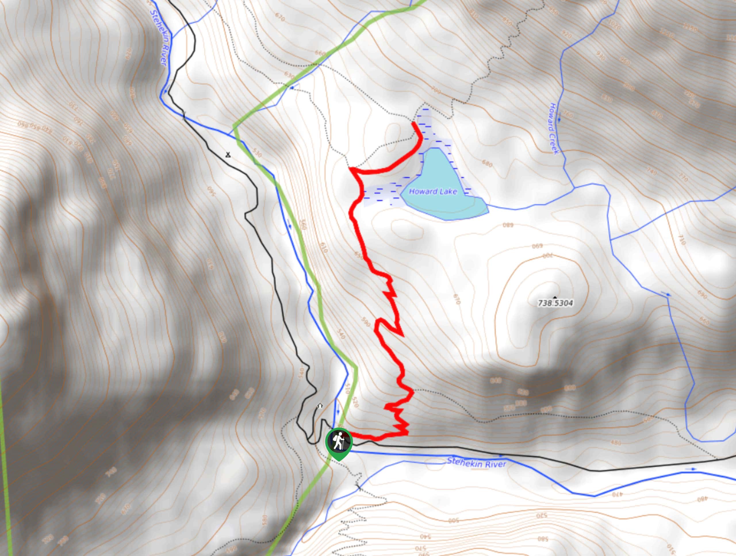
Howard Lake via PCT
Howard Lake via PCT is a pretty hike through the woods. It’s consistently uphill for its short ascent, but you’ll…
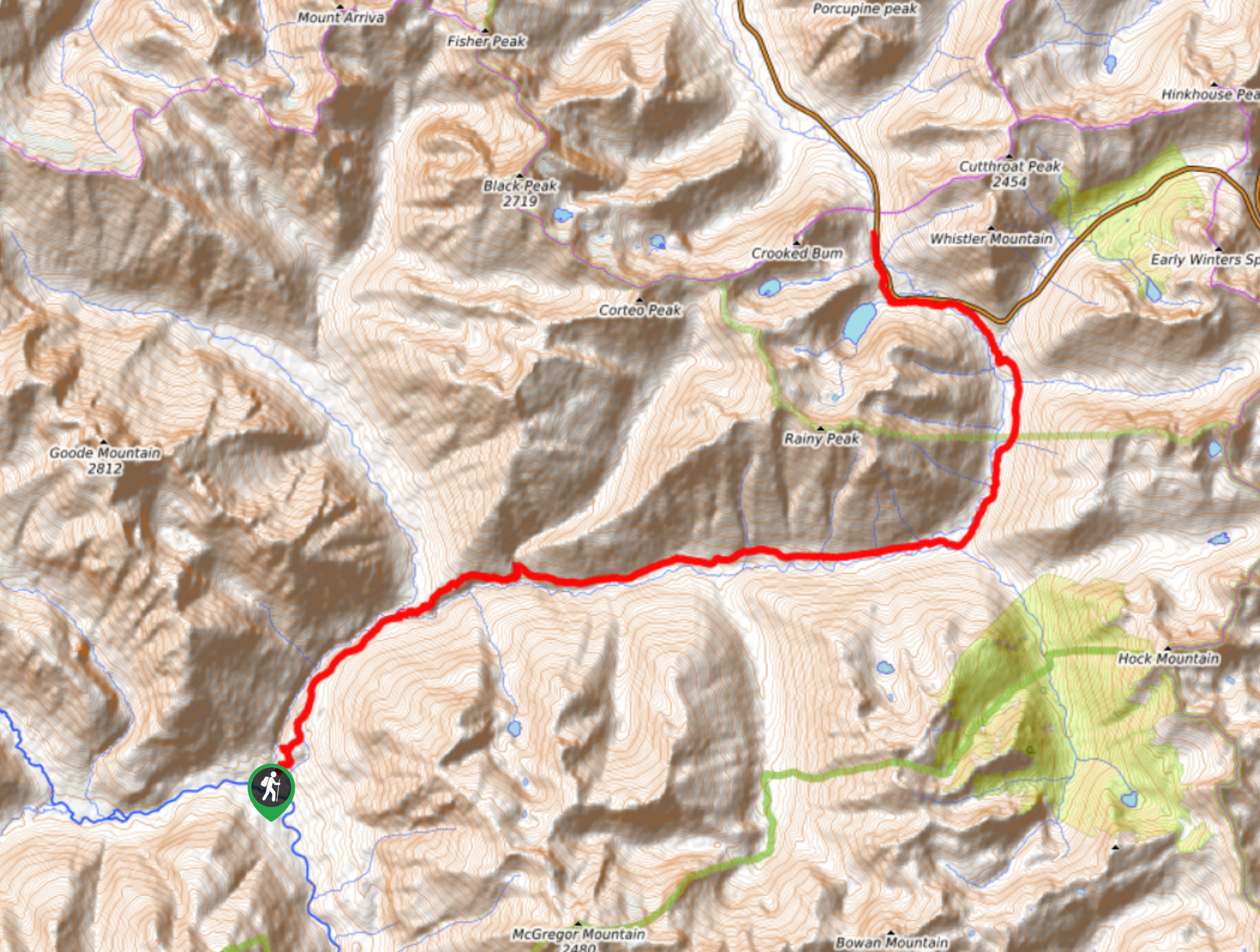
Bridge Creek Trail
Bridge Creek Trail is a 13.9mi route in North Cascades National Park that is considered hard. This is…
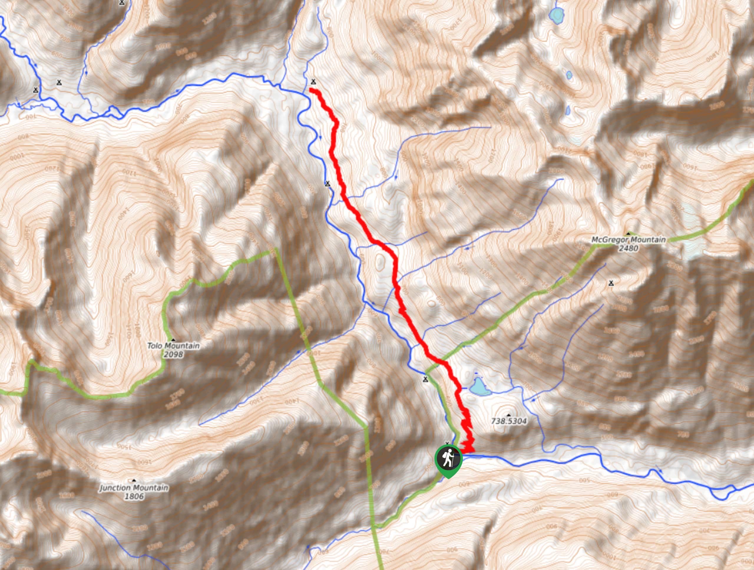
Old Wagon Trail
The Old Wagon Trail is a moderate trail that runs the Pacific Crest Trail. A hike on Old Wagon takes…
Comments